Thursday 26/7
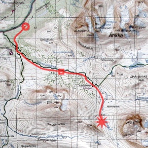
Sjnjuvtjudis – Nijákjågåsj
| Horizontal distance: | 16 km |
| Vertical distance: | +320 m |
| Time: | 5 h 15 min |
| Lunch break: | 30 min |
| Dinner: | Pasta Bolognese |
| Night accommodation: | Tent |
| Stage classification: | Easy/Medium |
| Map point: | Treparksmötet |
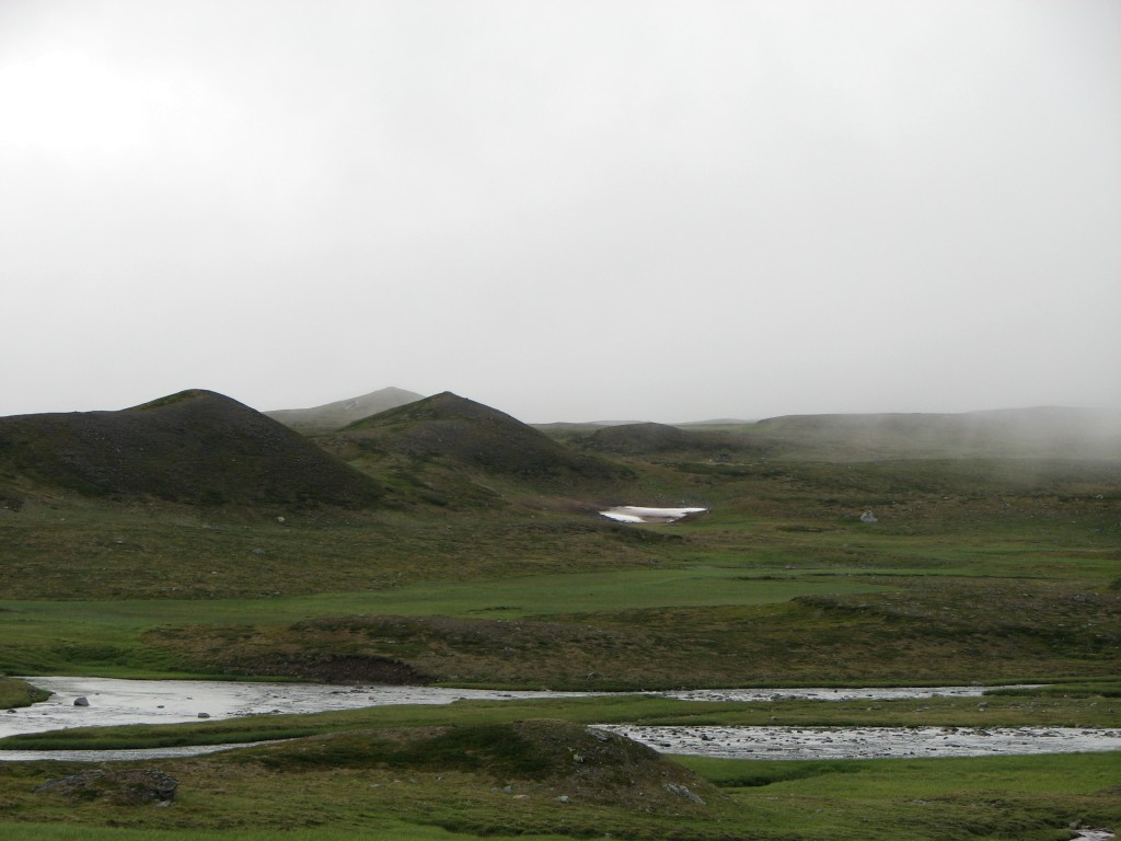
Around midnight the expected rain started, and the rest of the night was spent in fitful sleep accompanied by frequent showers; it was still warm, however. Come the morning it was raining continuously and clouds were very low to the east and northeast, while it looked OK over Badjelánnda. The time was past 08:15 when I got up, finding the family's tent still in place among the trees. During a period of non-rain I prepared and ingested breakfast outside, and just afterwards a pair of hikers with a large fishing rod came by from the south. It was calm and the rain seemed to have done its thing for now; the clouds were lifting, but those sticking around Sjnjuvtjudis were loth to fully let go even though Áhkká was emerging bit by bit.

In the rainy morning...
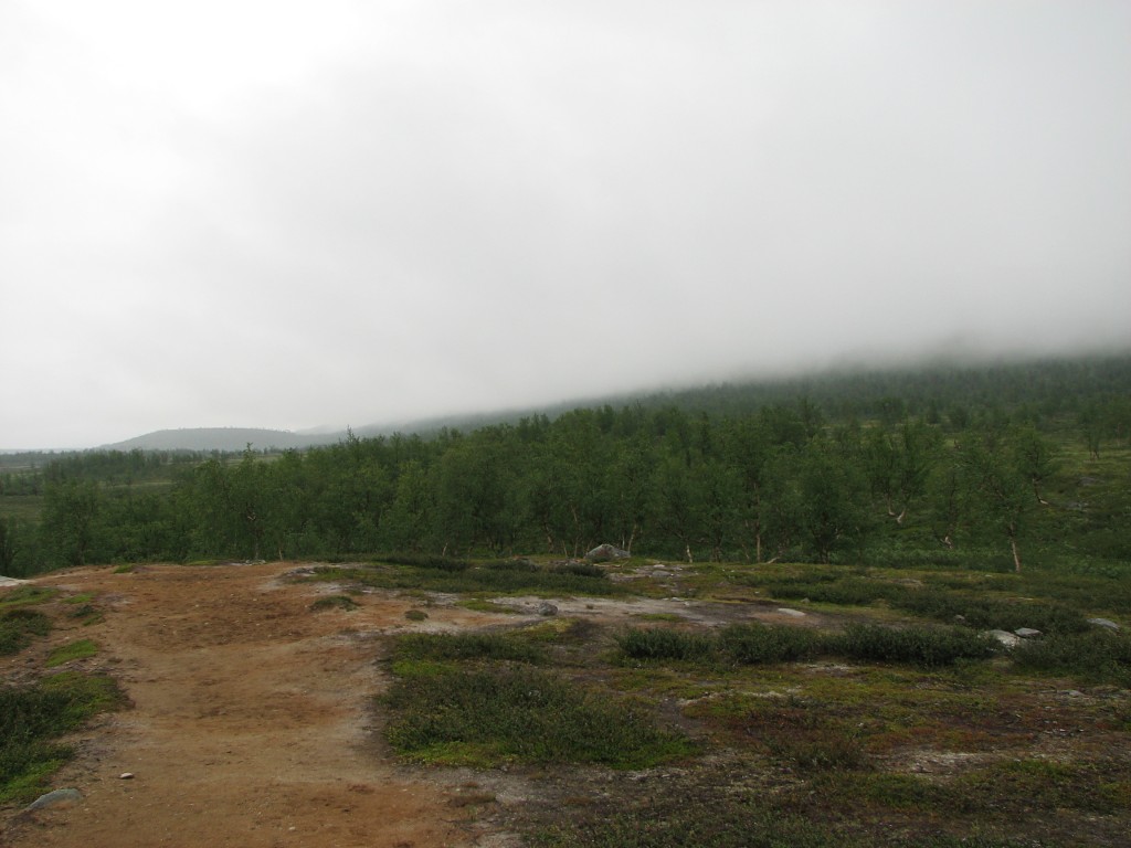
...the clouds...
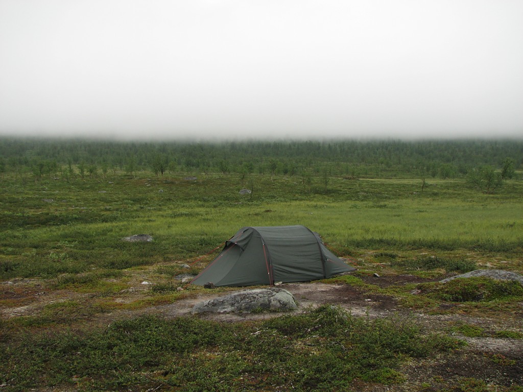
...were very low
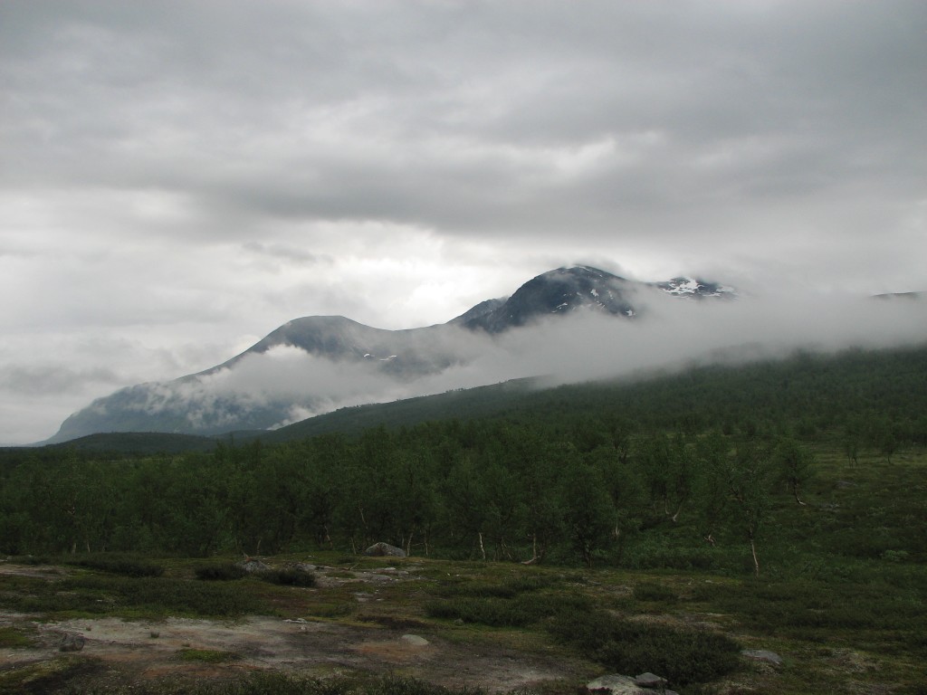
Áhkká emerging
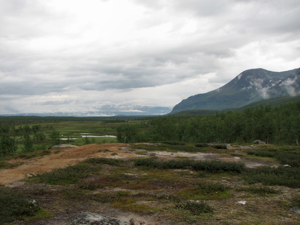
Good northern view
When I left before 10:30 visibility was rather good, but the rain soon returned in the form of a quick shower on an open patch of land about a kilometer before the bridge over Sjnjuvtjudisjåhkå, which prompted me to put on the rain jacket; I was already wearing the rain trousers due to the wet vegetation. I met a lone woman in shorts right before the bridge, and right after it the couple from the day before were breaking camp. I continued towards the next bridge – over Sjpietjavjåhkå – a few hundred meters away, where I met another lone hiker, and just before this stream I turned off the trail onto a smaller path leading off to the east.
Sjnjuvtjudisjåhkå marks the border between Stora Sjöfallet and Sarek, and Sjpietjavjåhkå divides Sarek and Padjelanta National Park, so the place with the three information signs depicted below is often referred to as Treparksmötet (Three-Park Meet), even though technically the branch point lies at the intersection of the two streams a slight distance further west. The path quickly deteriorated, and when what was left of it followed Sjpietjavjåhkå due south below a forested ridge I climbed the slope, finding a well-trodden path at its crest – this is the path that is marked on the map, and it constitutes a frequently utilized route into and out from Sarek.
Since there had been no rain for a while and because it was getting warmer still, I took off the jacket before going much further. The weather now looked vaguely promising, with Niják and Gisuris revealing themselves in large parts ahead of me, and there was even some sun glimpses on various slopes. Walking was very easy at first, with the path clear and the terrain even, but as I came under Gisuris itself they both worsened. Ravines in sizes ranging from hardly noticeable to moderate intersected the path all the time, most having a small brook or at least a small marsh in them. Mosquitos were all about and the rain had come back as well, so I put the jacket back on. When I reached a brook which was larger than most of the others before 12:30 I sat down to a wet lunch.
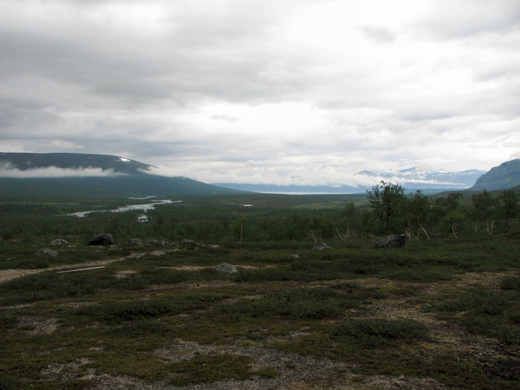
Looking better to the north...

...and south
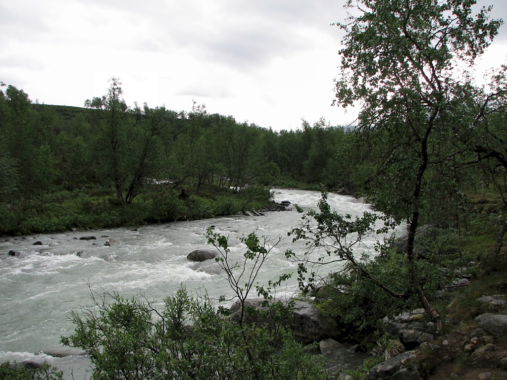
Sjnjuvtjudisjåhkå
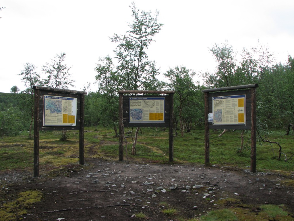
Treparksmötet
(Three-Park Meet)

Sjpietjavjåhkå
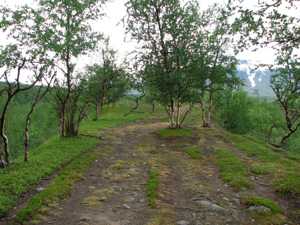
The path on the ridge
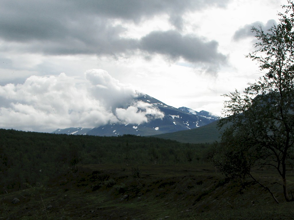
Niják appearing

Niják and Gisuris

The ravine of Sjpietjavjåhkå

Guvtjávrre in the distance
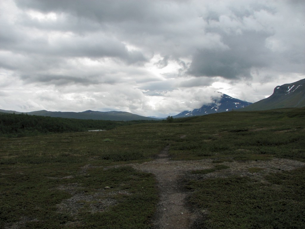
Not too bad

More of Guvtjávrre
After that the condition of the path declined and the clouds lowered themselves firmly, effectively blanking out any potentially pleasing views. The rain was on and off for a while before finally deciding to stay on, but at least a light wind helped with the mosquito situation. I caught sight of a pair of hikers going in the other direction closer to the stream, and as I had drifted up the slope on a path which was now rather faint I decided to go downwards a bit. Sure enough, I found a better path there, and presently I was looking at Kisuriskåtan, an old hut the state of which is one of ruin; the west-facing wall is however mostly intact, so if the situation requires it one can find shelter from the prevalent westerly winds.
Beyond the hut the path was not much to speak about, and after a while I decided to try my luck further up again, taking a more southerly course. This turned out to be worse still, for the terrain there was even more arduous to walk through, and finally I gave in an crossed the little parallel stream marked on the map and veered towards the remnants of the path. Another period of making my own way followed, with a damp wind adding to the dreariness of it all. Eventually I found the – or a – path which I followed to the somewhat major brook that flows due east from up Gisuris.
After locating an easy crossing place a little bit upstream I came upon a spot which would have made a terrific campsite, but somehow I felt reluctant to go for it, so after a break I continued on – leaving the option open to go back should I find that nothing else of a similar nature would be likely to appear anytime soon. After a bit I saw a group of four going north somewhat higher up at another brook (or, more likely, another arm of the same brook), and having crossed it I walked upstream, at last finding what I was looking for. Just at that instant, around 15:30, the rain which had merely been a drizzle for quite some time turned into a heavy shower, and I decided to simply stand around and wait for it to pass before pitching the tent.

One of the countless Gisuris brooks
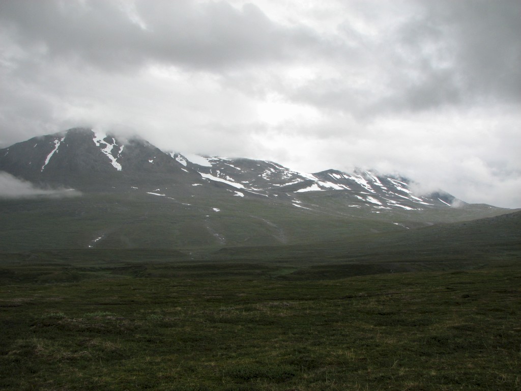
Southernmost Áhkká
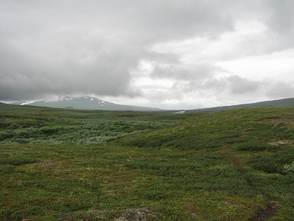
Shrubby
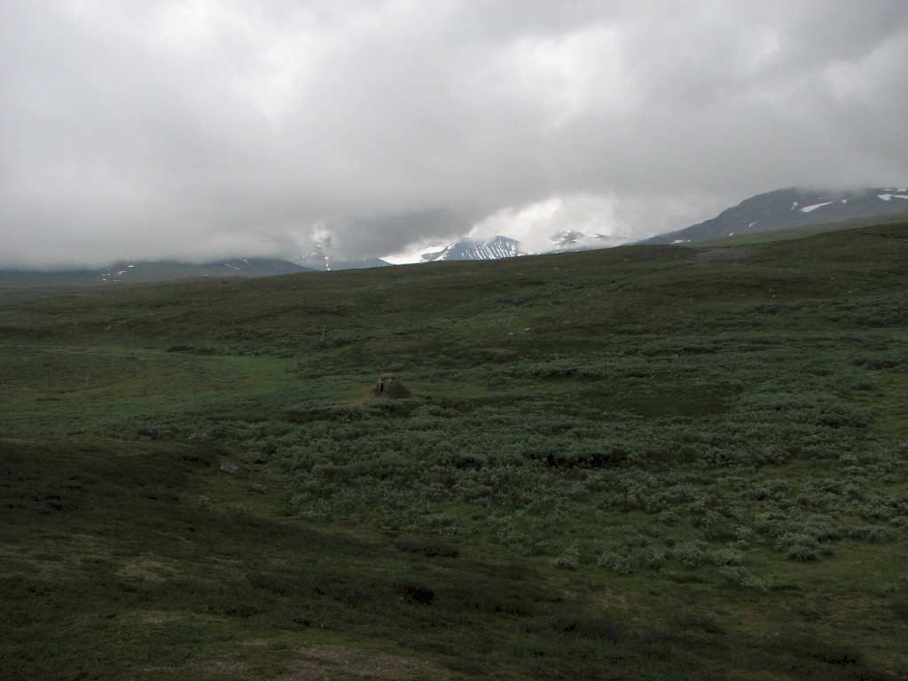
The old Kisuris hut
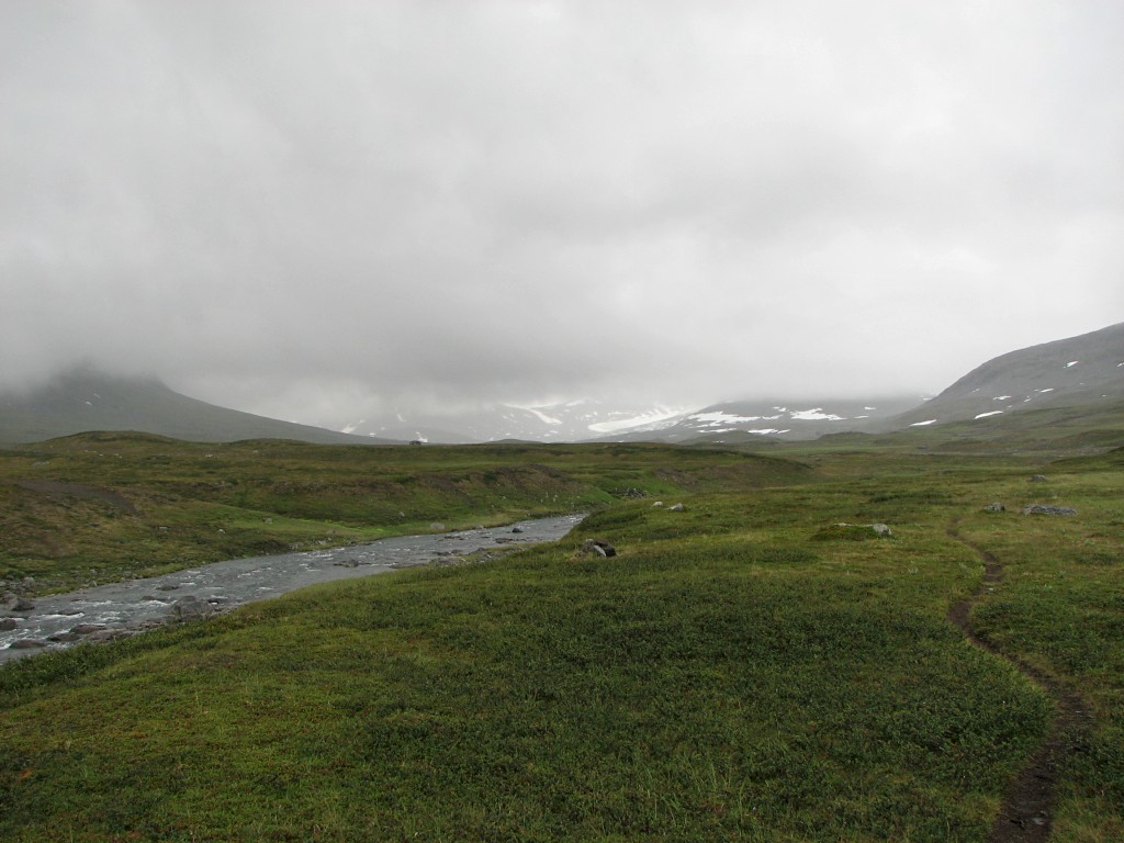
Following the path...
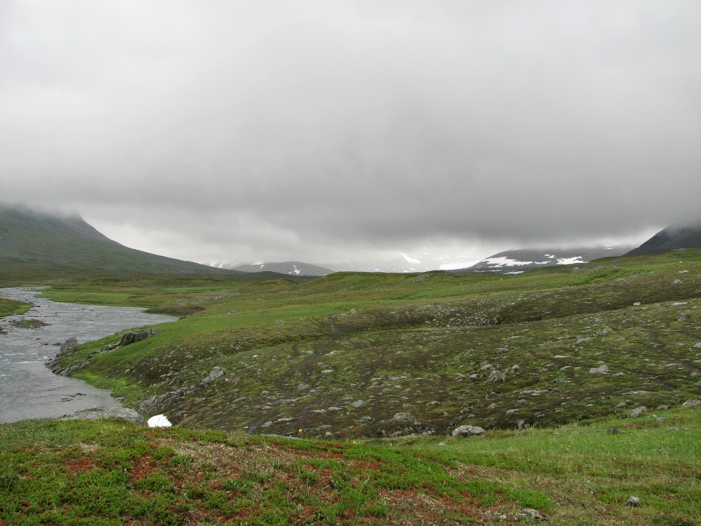
...alongside Nijákjågåsj

Áhkká peaks breaking through
During these proceedings I spotted another pair going north on the other side of Nijákjågåsj, which is what the central stream is called in that area; presumably they were headed for the infamous Suottasjjåhkå ford. Following the shower the clouds lifted somewhat, but the so-called views were still nothing to write home about. I relaxed inside the tent, taking care as best I could of the wet stuff and having some reindeer meat. Outside there was a bit of wind and the clouds shifted to and fro, and up and down, with some pretty dense ones drifting through the valleys at low altitudes. At least there was no rain for the moment, so I could make dinner outside, but not long afterwards I heard the familiar sound of drops striking the canvas.
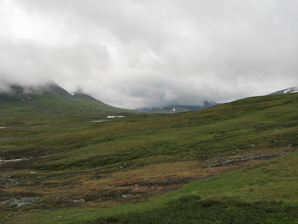
Clouds lifting somewhat to the south...
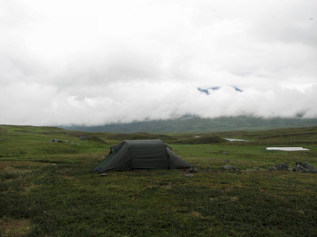
...and north
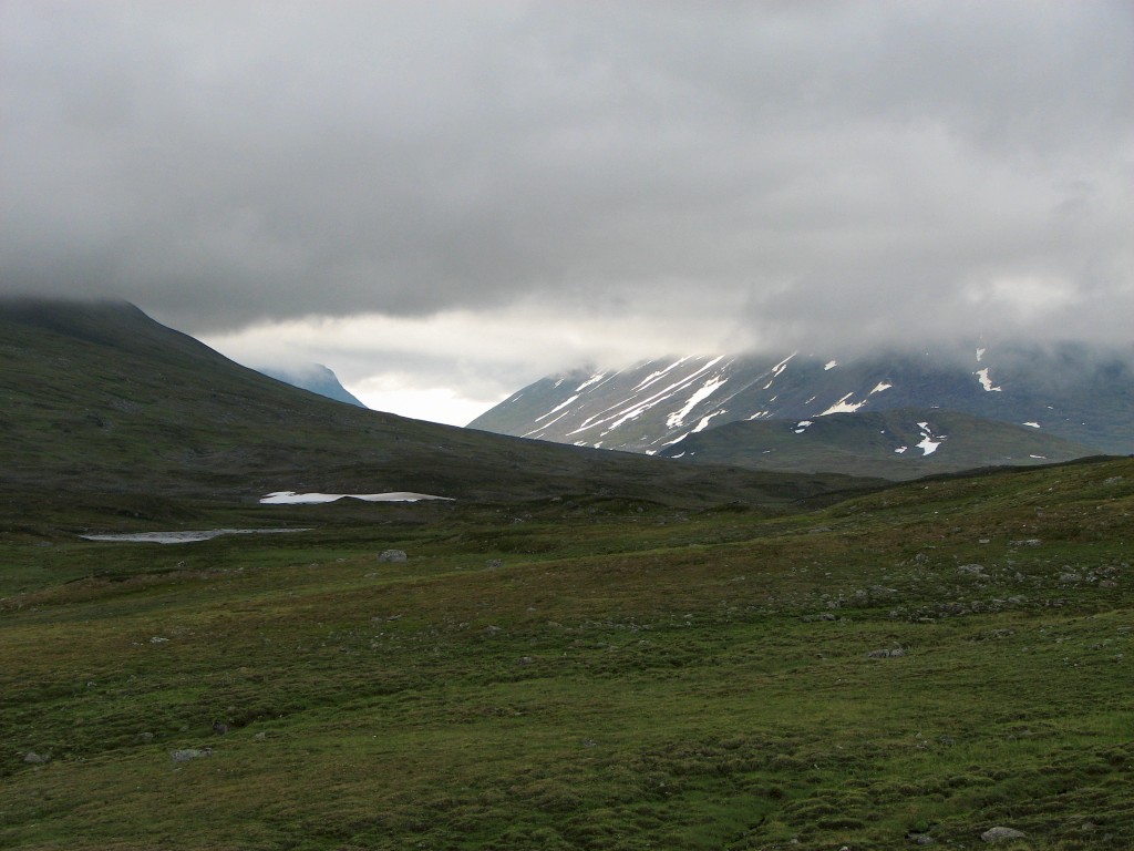
Weak sun in Ruohtesvágge
The rain and wind continued for a while before they both abated, but as though to compensate the clouds sank further, swathing the land in fog – it felt as though I should be able to reach up with my hand and touch a solid ceiling. I spent the time with crosswords, solitaire and reading while the temperature dropped, and then I had an evening snack. The necessity of wearing the rain clothes all day had given rise to a chafe which was about to turn nasty, so I applied some ointment and fashioned a compress of sorts out of two varieties of adhesive. Looking out I saw that the fog had lifted and that it was rather light above – the sky was probably clearing beyond the clouds that were still hanging low over the valley – and it was getting warmer again; the wind was also gone. I went to bed at 21:45, reading a few pages before lying down for real. One last peek outside revealed that the fog had returned in an even denser format – a "perfect" end to a day of gloom.