Monday 19/8
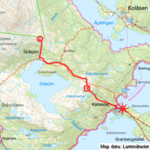
Gråsjöfjället – Kallsedet (via Daltjärnarna)
| Horizontal distance: | 8.5 km |
| Vertical distance: | -130 m, +70 m, -40 m, +20 m, -160 m |
| Time: | 4 h 15 min |
| Lunch break: | 45 min |
| Dinner: | – |
| Night accommodation: | – |
| Stage classification: | Medium |
I slept pretty well, this being the most comfortable spot of the tour. The rain abated during the early night, but returned in the early morning, and eventually stopped again before I got up at 7. The sky was cloudy but also displayed blue regions, and there were patches of sunlight here and there, together with a frisky wind I remained sheltered from; the stream had also risen appreciably. The morning forecast was still promising, and the sun asserted itself more and more. After spending some time outside in the refreshing morning I went inside the tent to have breakfast, since everything was rather wet outside due to the recent rains, and then started to break camp in a calm fashion. By 09:30 I was ready to leave, wearing the wind jacket and the rain cover on the rucksack.
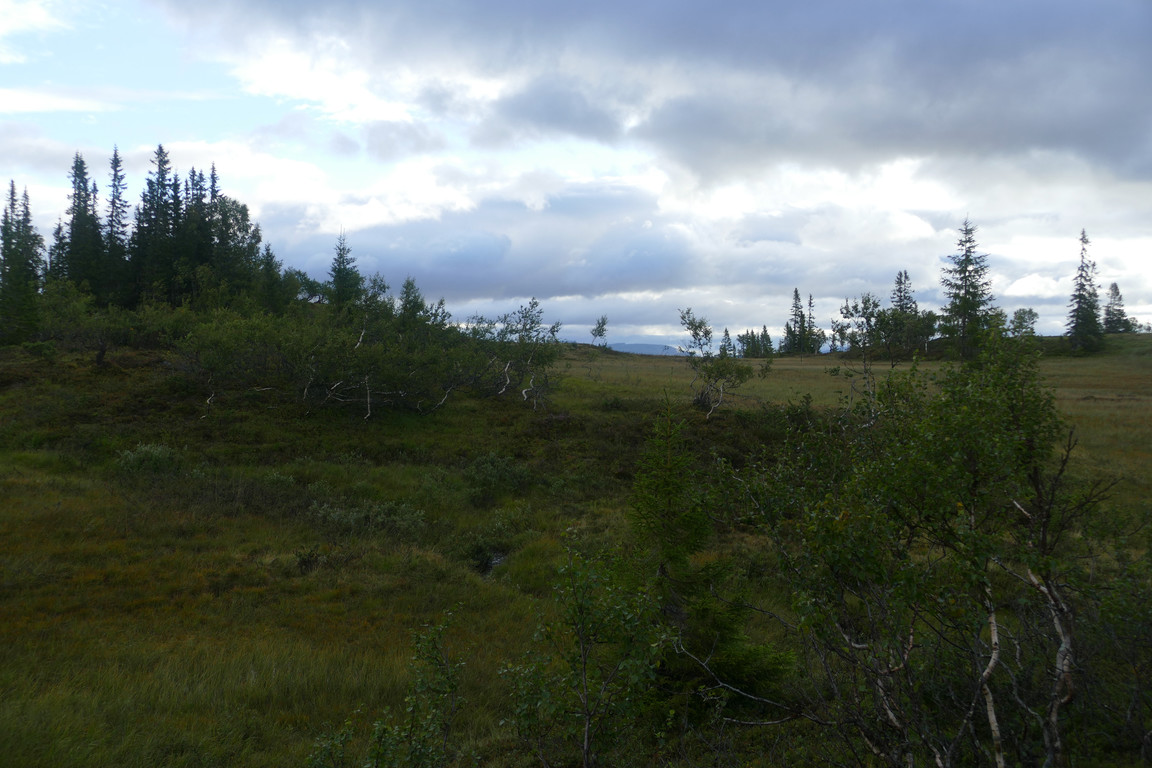
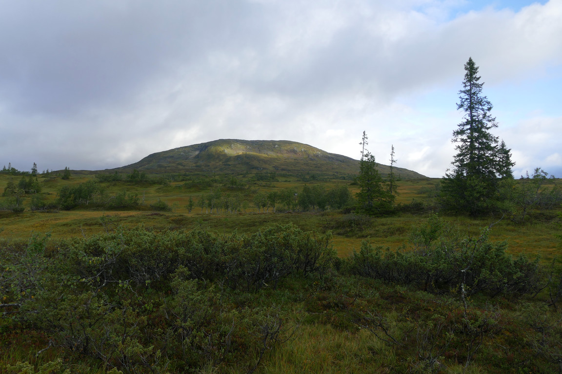
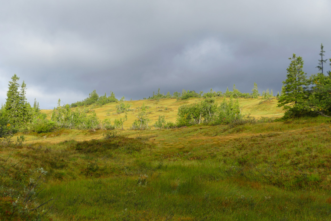
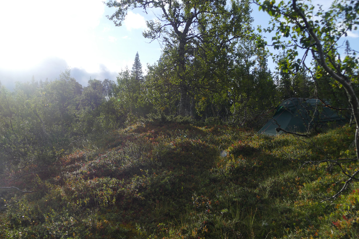
I followed the little ridge back to the path and then followed that over the stream and up a short but somewhat steep slope into the forest, which began in earnest just there. The path was rather wet even when not crossing mires, and as if to underline this a short and light shower passed by. There were a few old wooden winter trail markers in show, but the path itself wasn't the clearest, especially not across the mire past the following woodland mere, although it got better in among the denser trees afterwards.
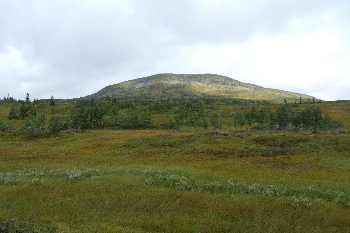
Storfjället partially lit
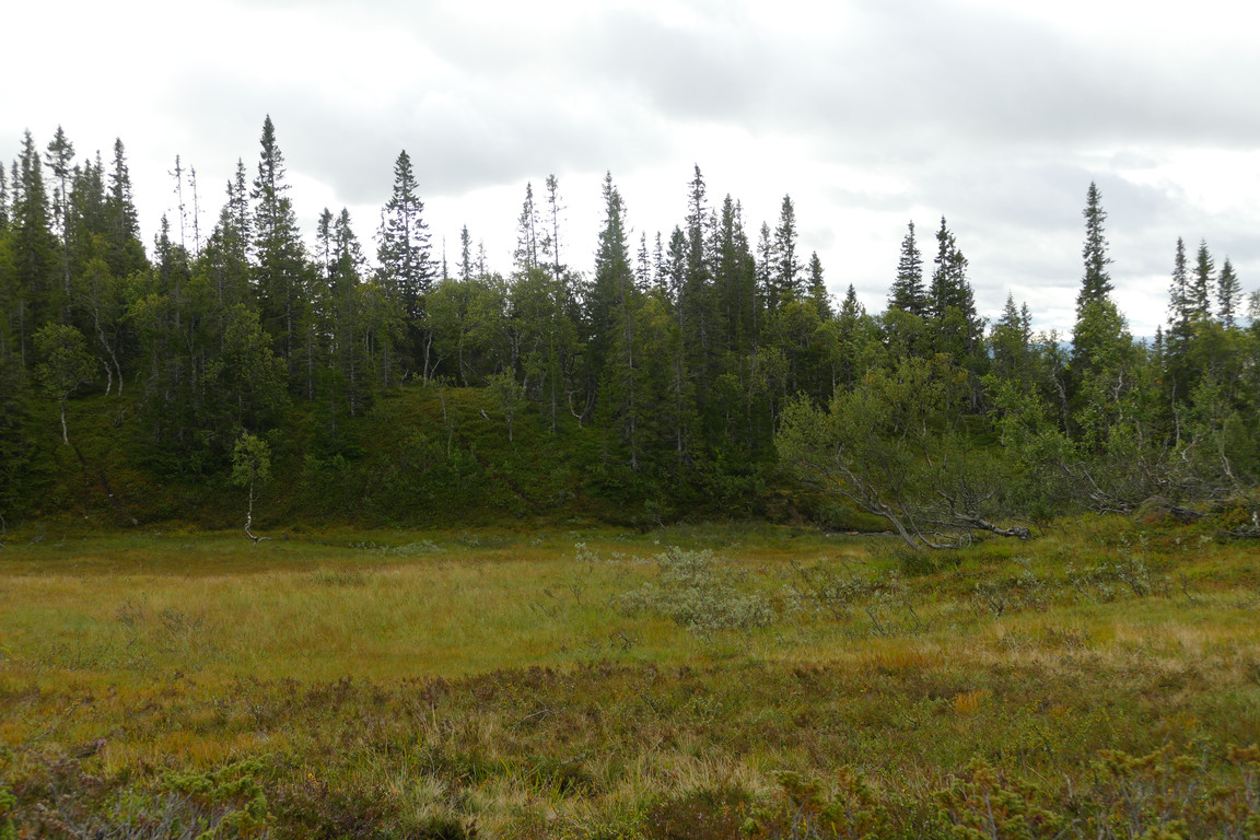
Over and up
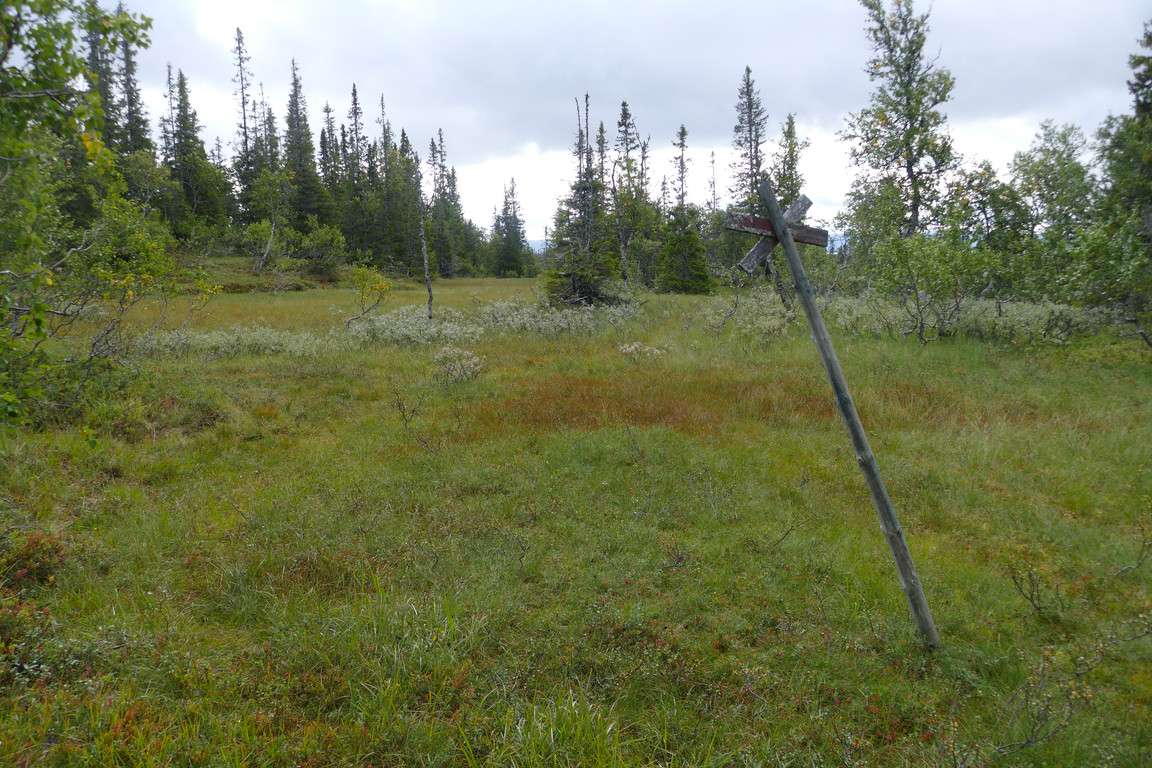
Old marker
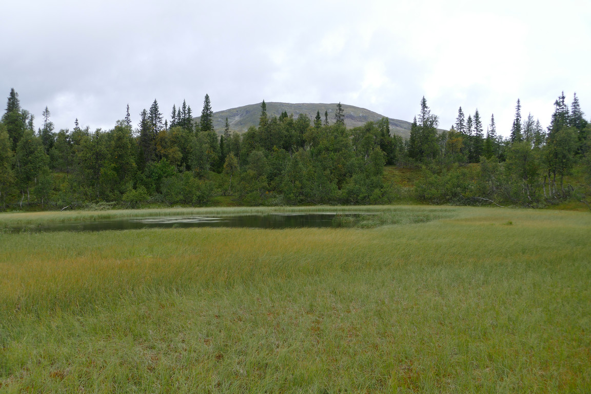
Another mere
This part of the forest was leafy and moist, even discounting the recent rain, and rather pleasing to the eye. The path split a few times, and at one point I changed from one branch to a lower one because the latter looked more well trodden; I could also see more marker poles in clearings off to the side. Further down the number of paths increased, but I kept to what I judged to be the main one and soon emerged atop a long, slanting, wilted meadow with a group of reindeer upon it.
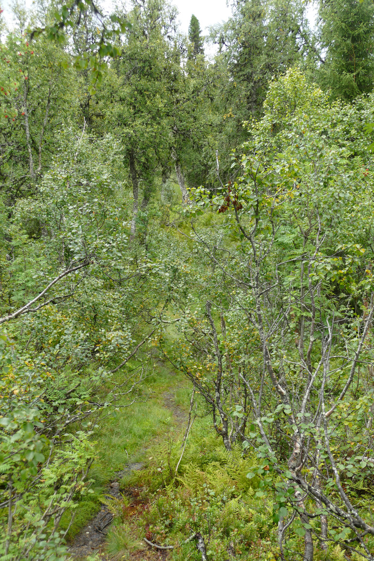
Down into...
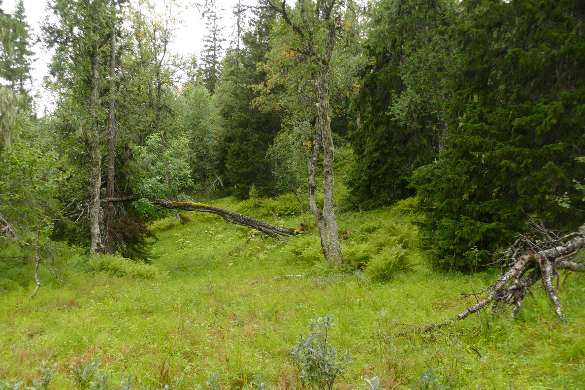
...lush forest...
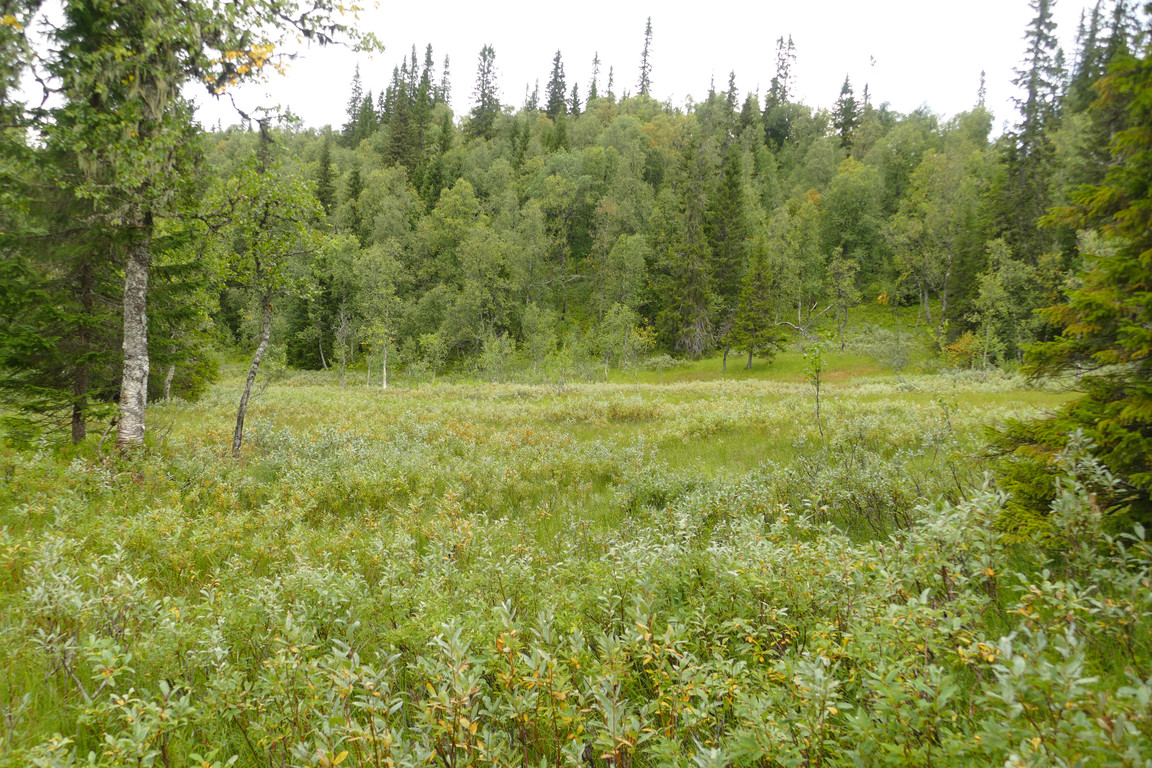
...with a mire or two
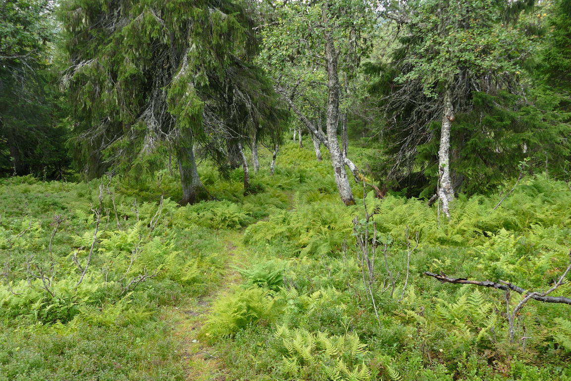
On the path...
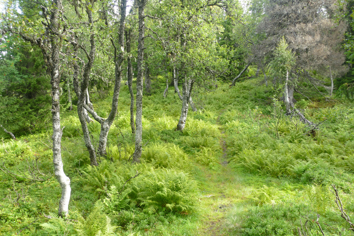
...of ferns

Blocking bunch
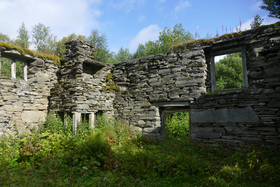
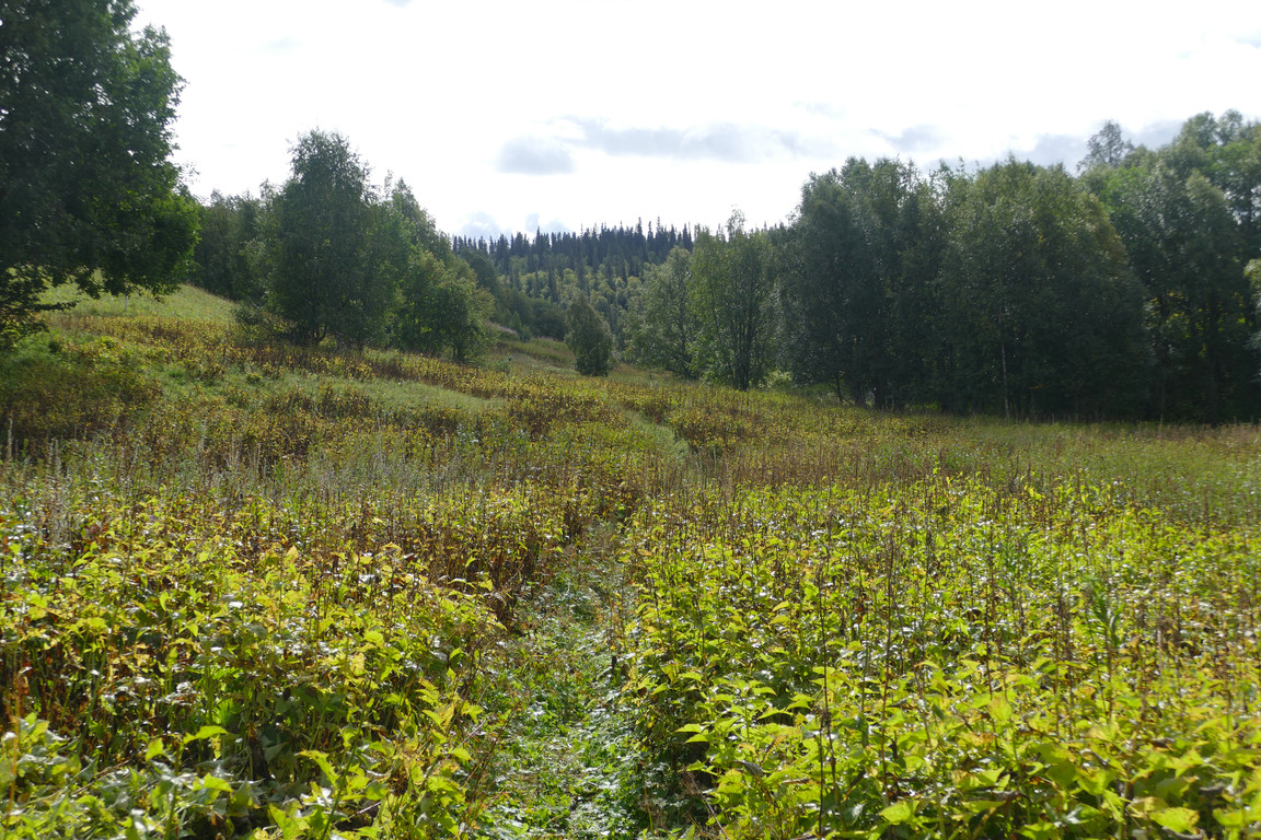
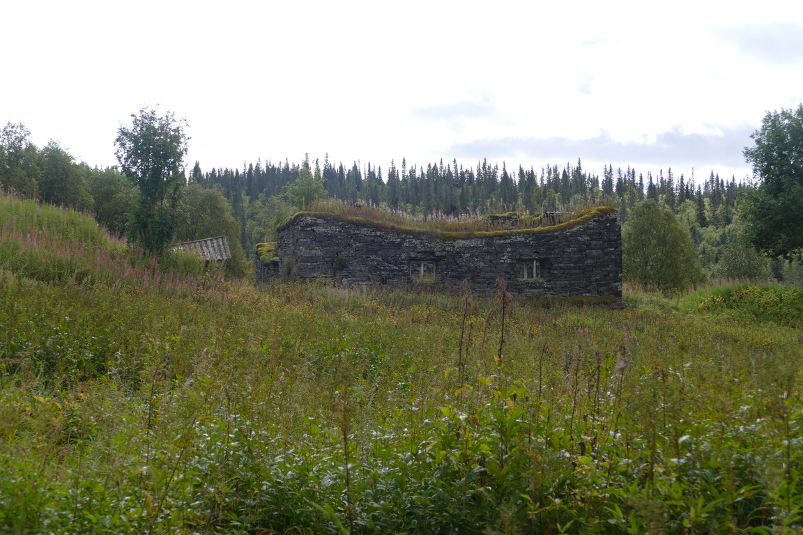
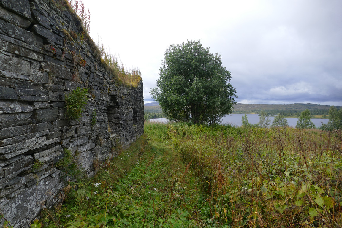
I waited until they moved off and then walked down to the old (and long abandoned) village of Gråsjön which nowadays only has a few private cabins which seemed unoccupied at the moment – and some very intriguing ruins. I followed cleared paths through the high field vegetation between these, checking each out in turn; they are remnants of old shale barns that used to house livestock in days of yore, but now only the walls remain, looking like something out of a fantasy story. While I was doing the rounds the sun came out more and more, giving life to a scene otherwise dominated by decay.
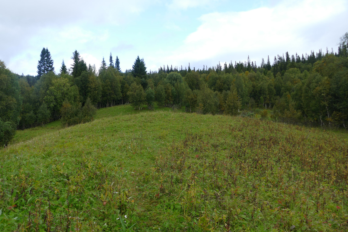
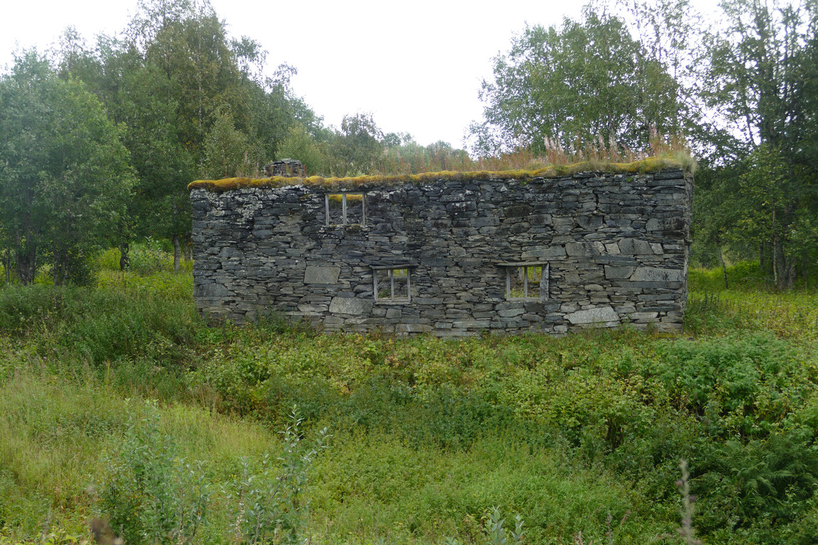
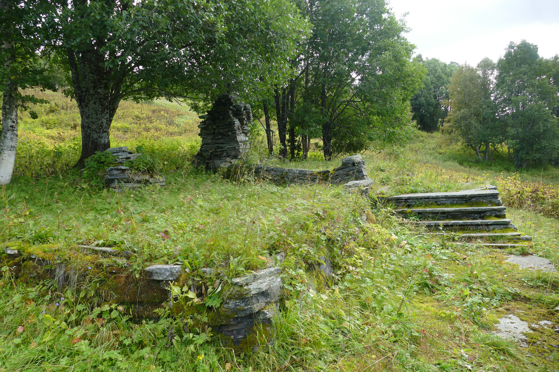
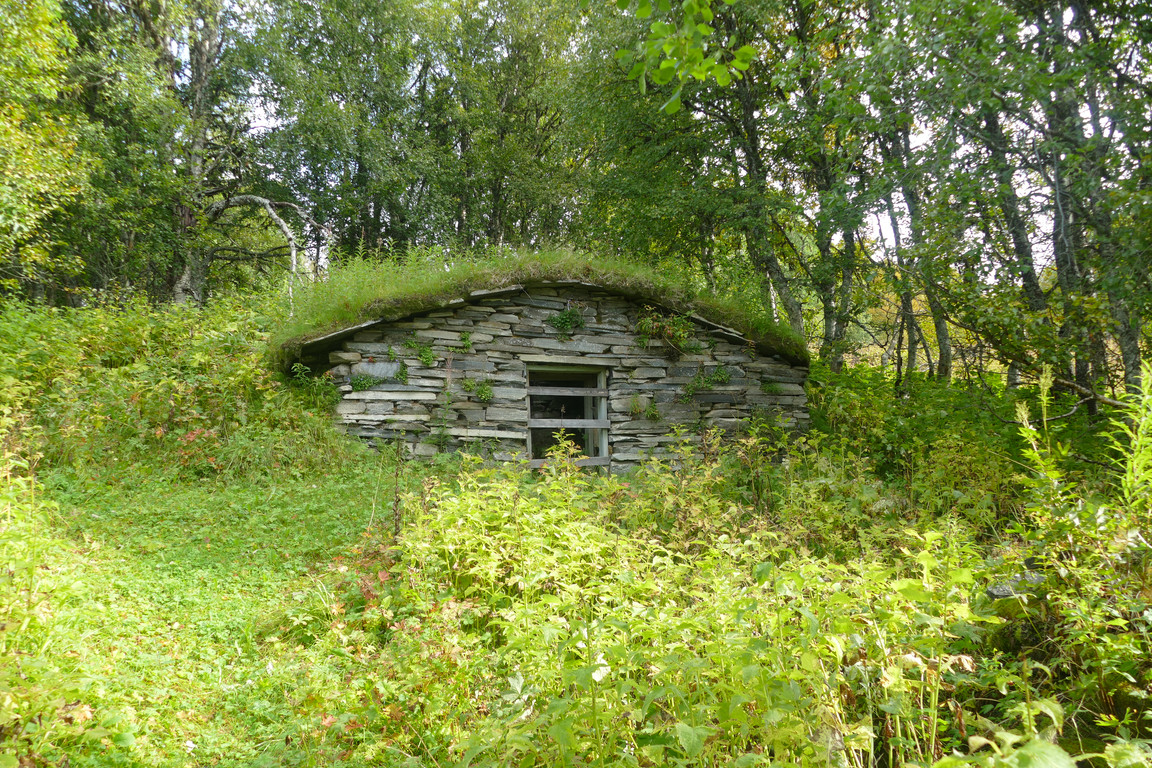
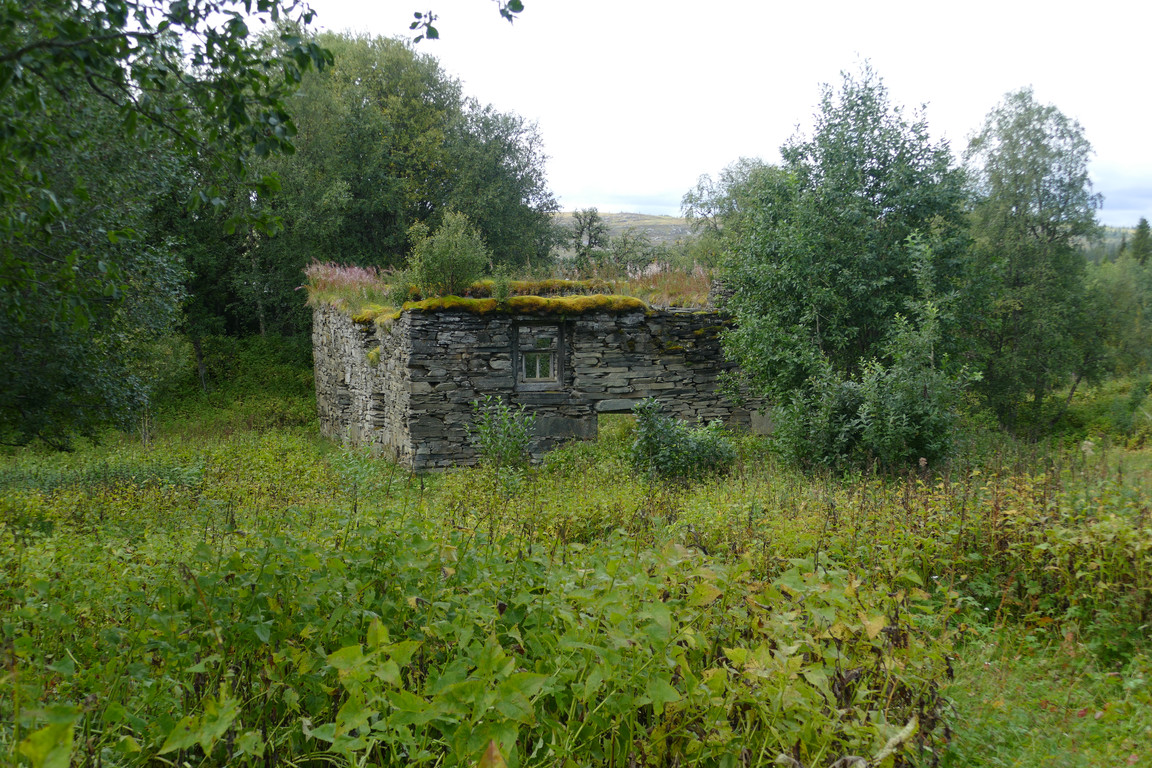
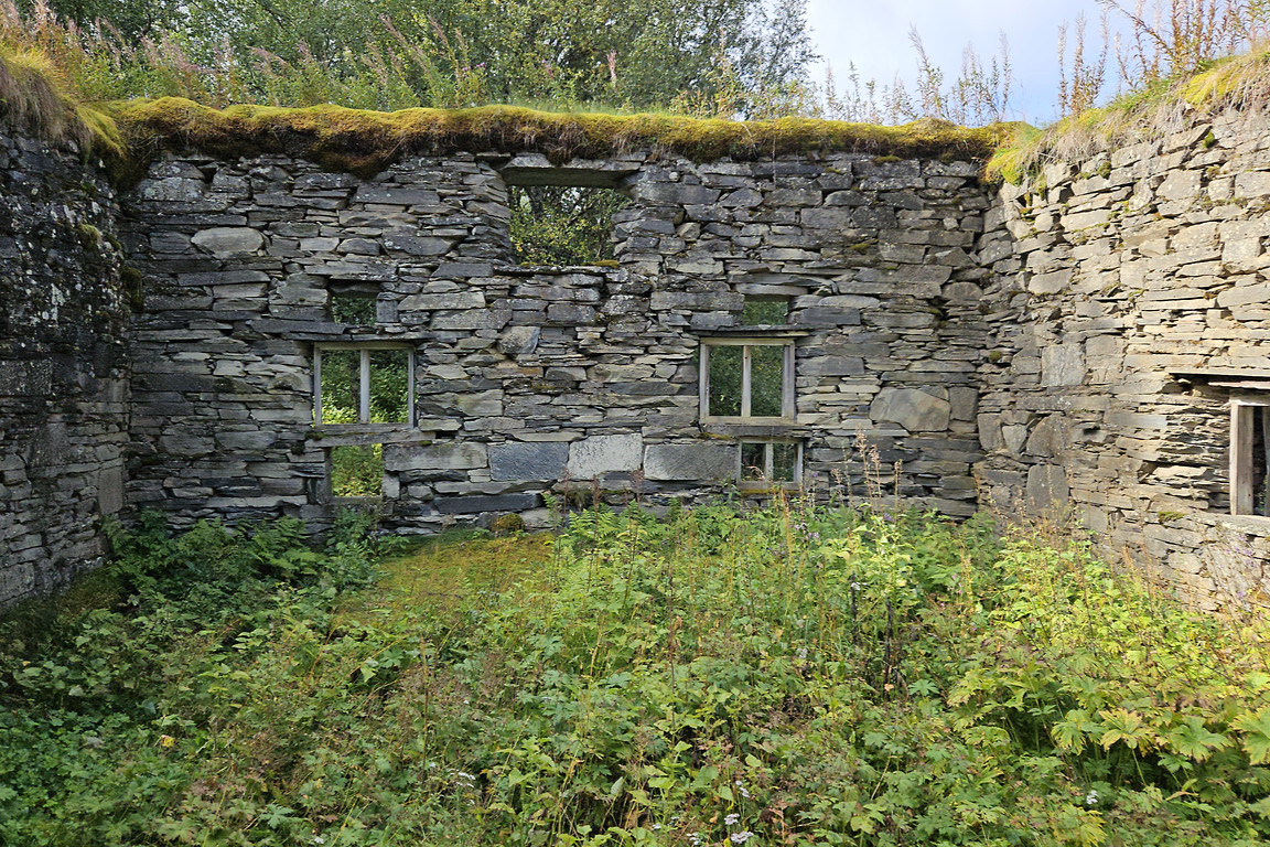

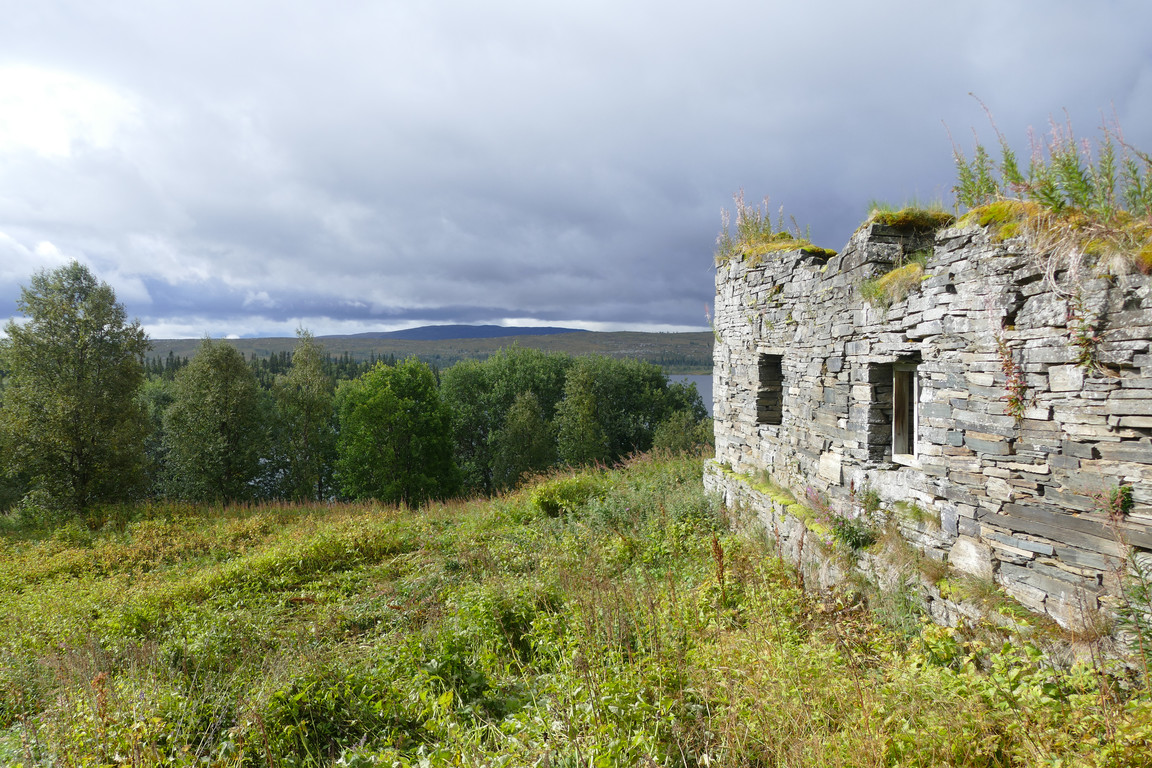
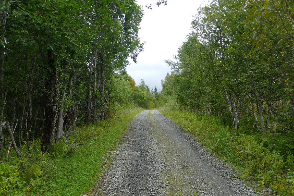
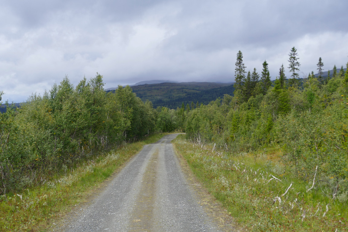
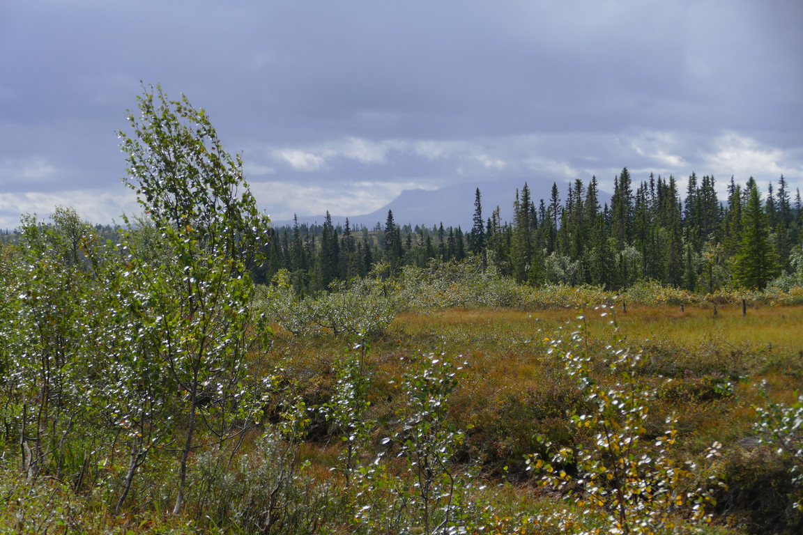
Having passed the last ruin I came down to the gravel road to the erstwhile village, which I walked along at a leisurely pace while another quick'n'light shower passed by. Now that I had more of a view towards the fjelds I had just left I saw that most of the peaks were in cloud, and the sky was mostly covered. According to the map there was supposed to be a path providing a shortcut between the gravel road and Kallsedet, passing closely by the wind turbine and partially following the snowmobile trail. I couldn't spot any, though, so I took to following said trail anyway, mostly tracing the route that the drawn path should have taken had it been there, keeping to the edges of the mires as best I could, but it was wet going just the same.
On the road
Low clouds behind
Rain over Åreskutan
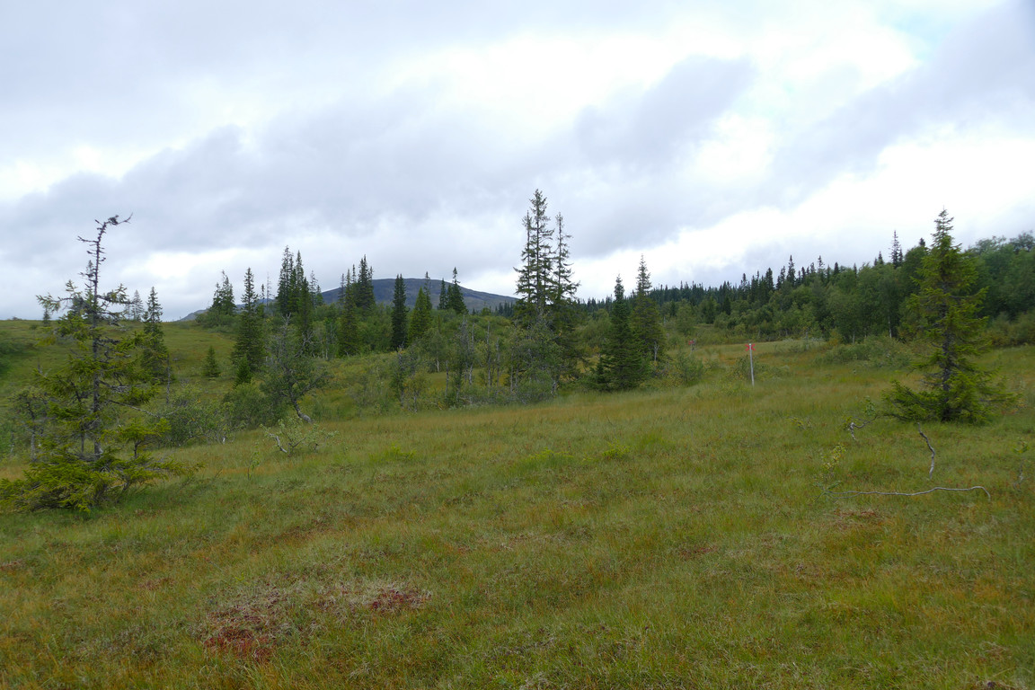
Out on the mire
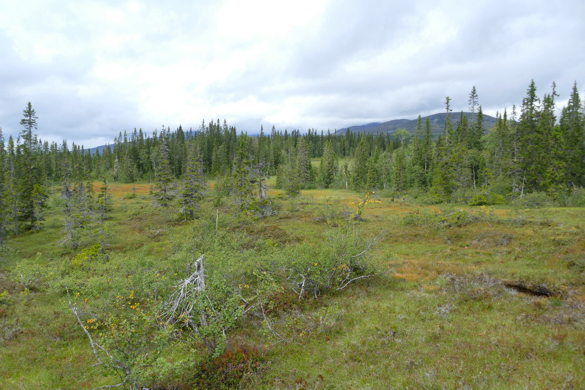
No path here
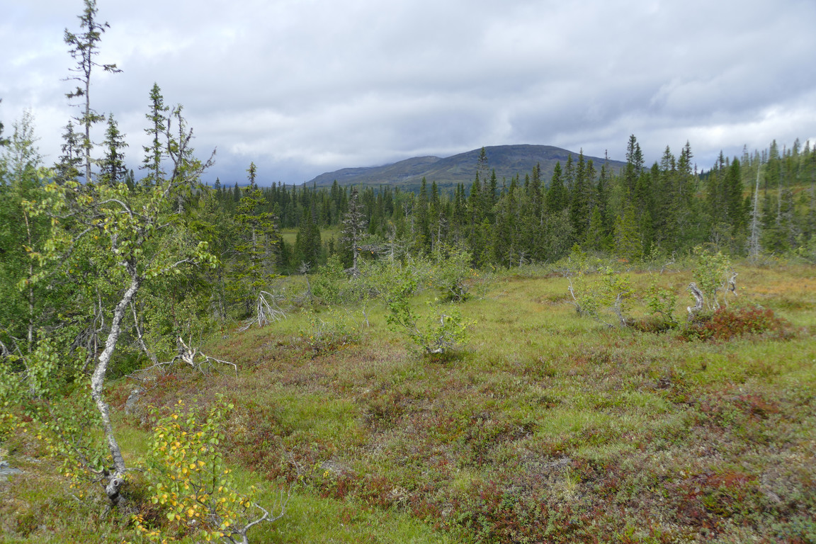
Nor here
Once I had reached the large open expanse upon which the turbine stood the ground got better following a loosely defined ridge, and rather than sticking to the crosses when they turned over a very wet portion I continued walking where the terrain put up the least resistance, ending up more or less following the power line instead. By now the clouds had lifted enough that all the heights were visible behind me, and the wind had increased to match and/or compensate; I also noted that here it was bog bilberries (vaccinium uliginosum) that was the dominant berry species. Finding myself atop the local rise, and even more locally on a hilltop strewn with trees, I walked over to a sizeable pine and sat down against its sturdy trunk to have lunch at 11:45.
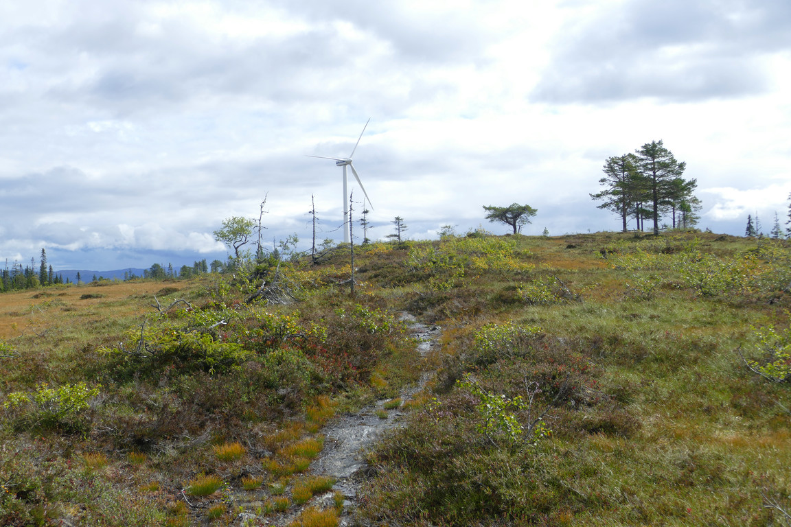
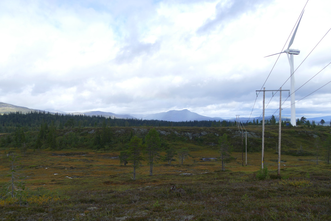
Closing in on the turbine
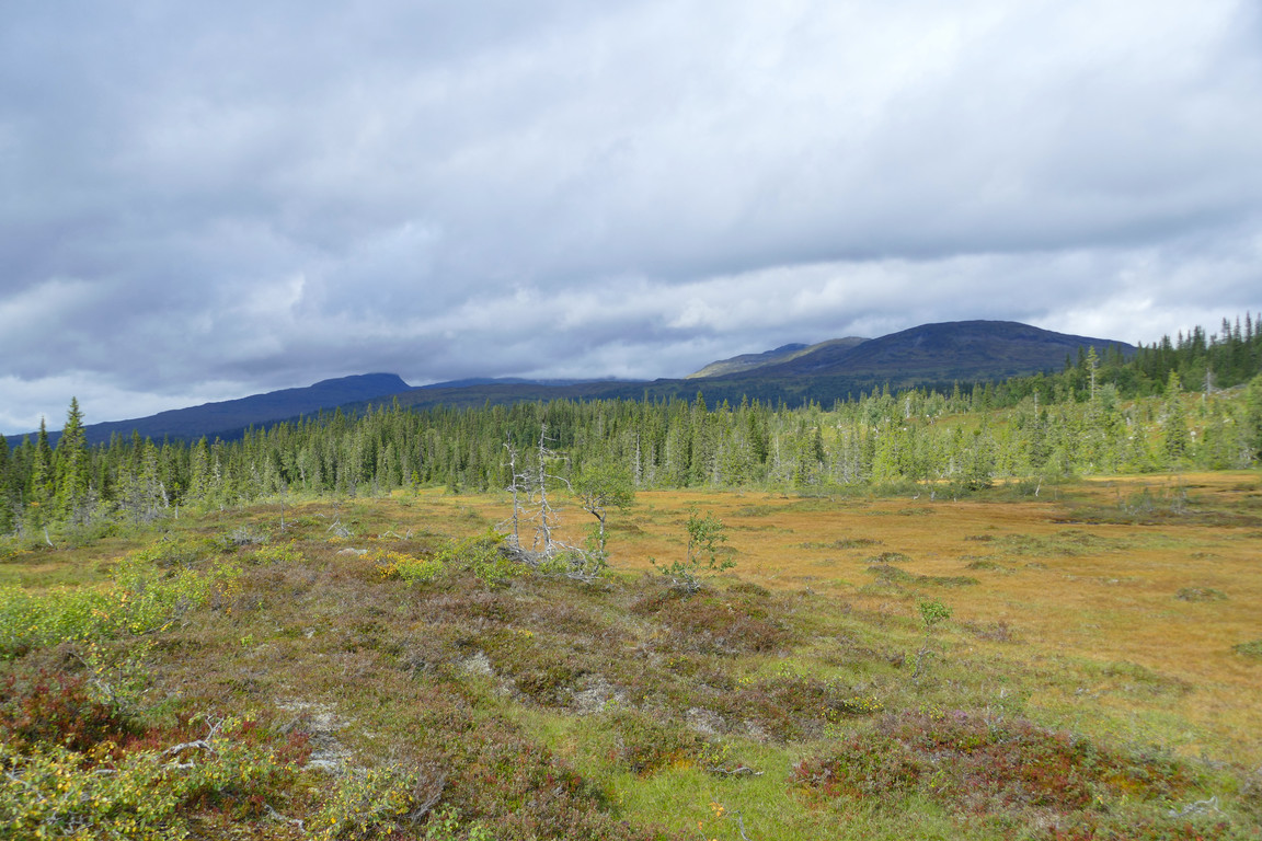
Higher clouds
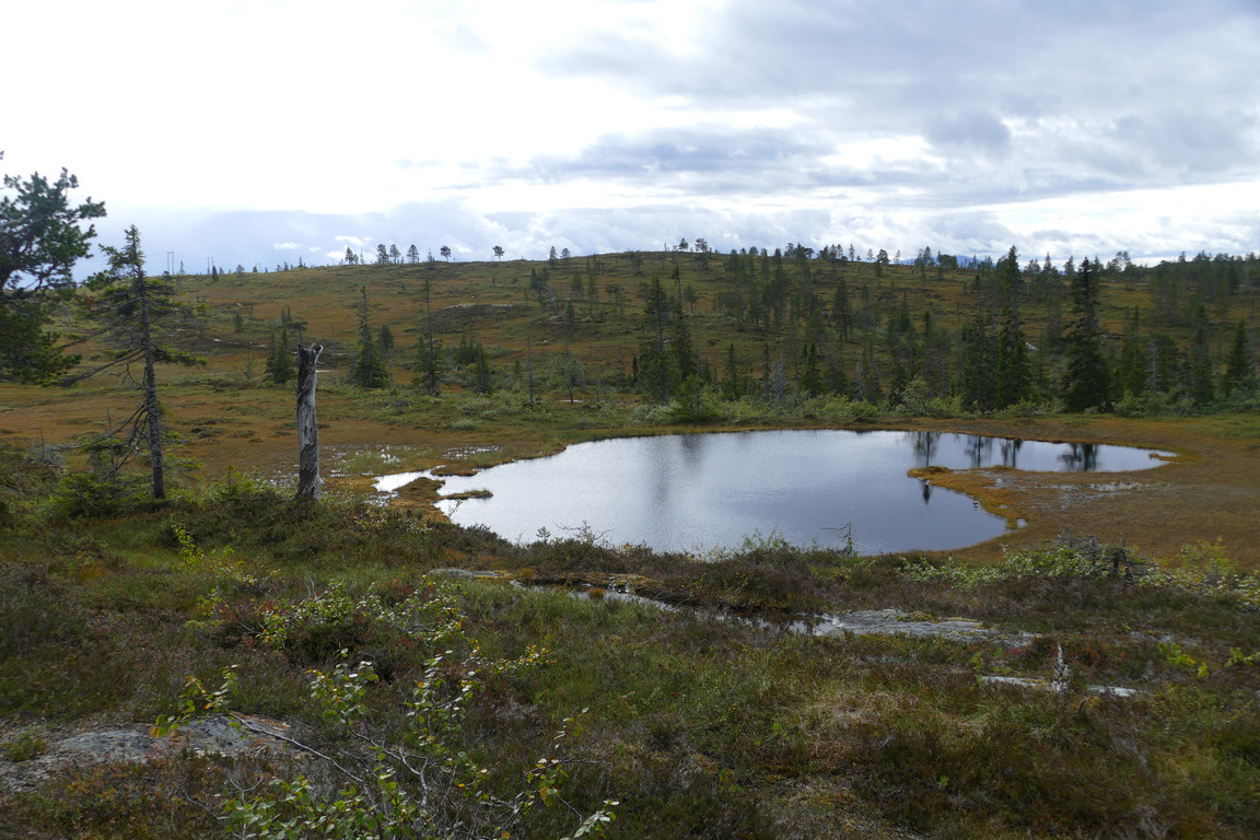
Better keep above that
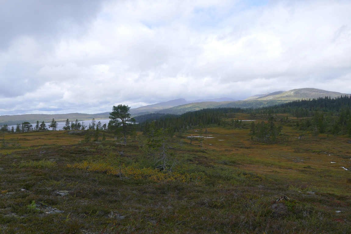
Local showers
Northwards
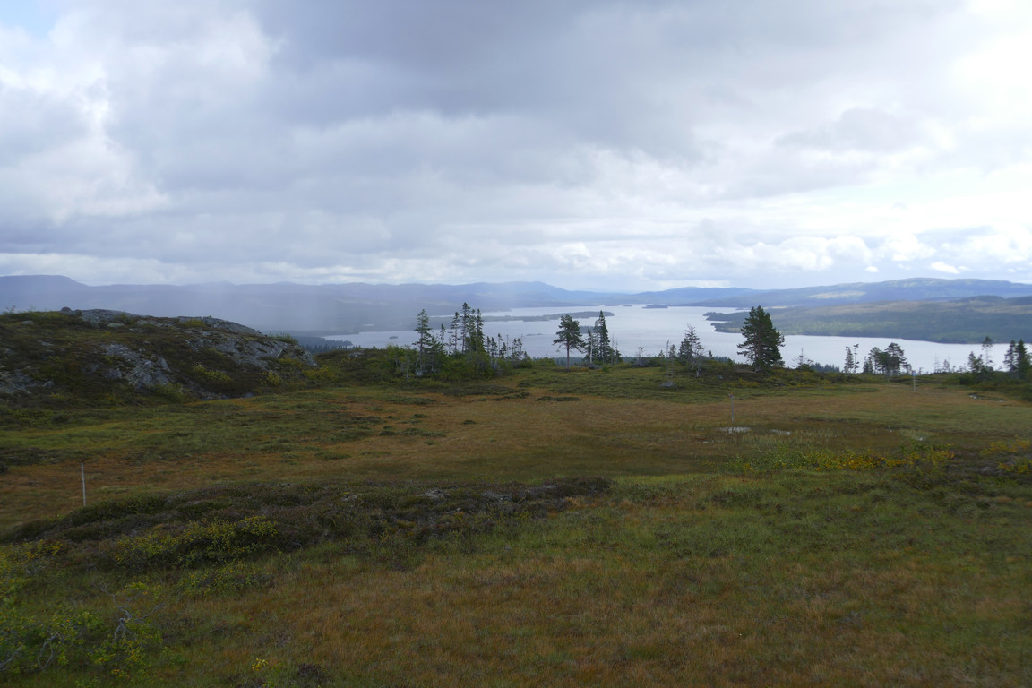
Juvuln eastwards
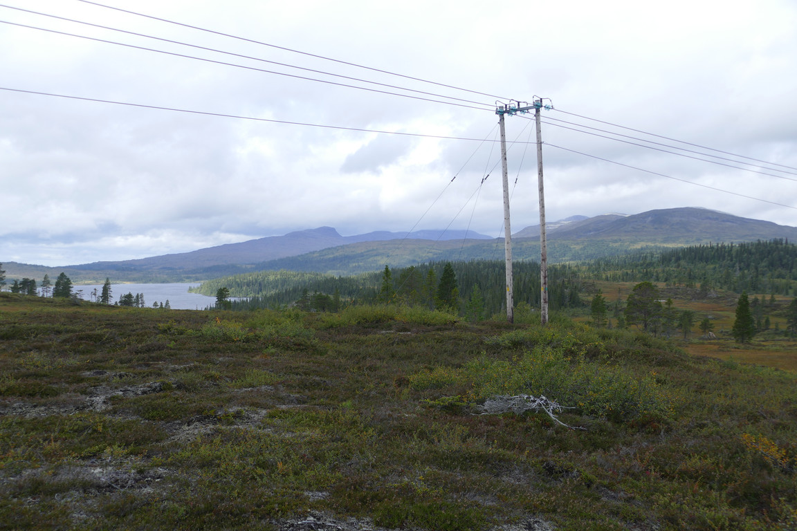
Back and forth in the weather
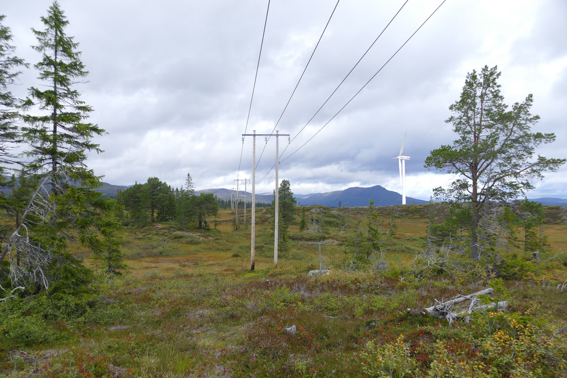
Following the line
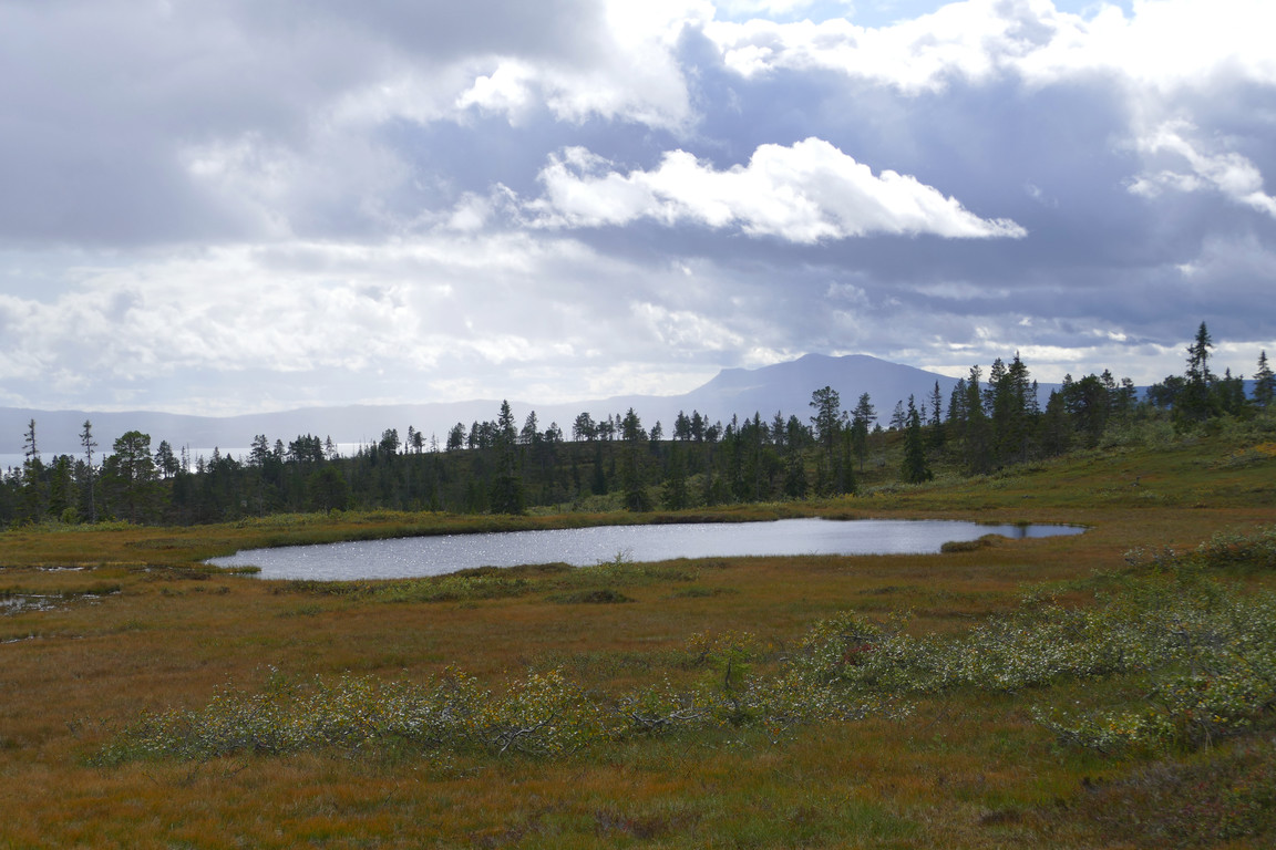
Shower leaving Åreskutan
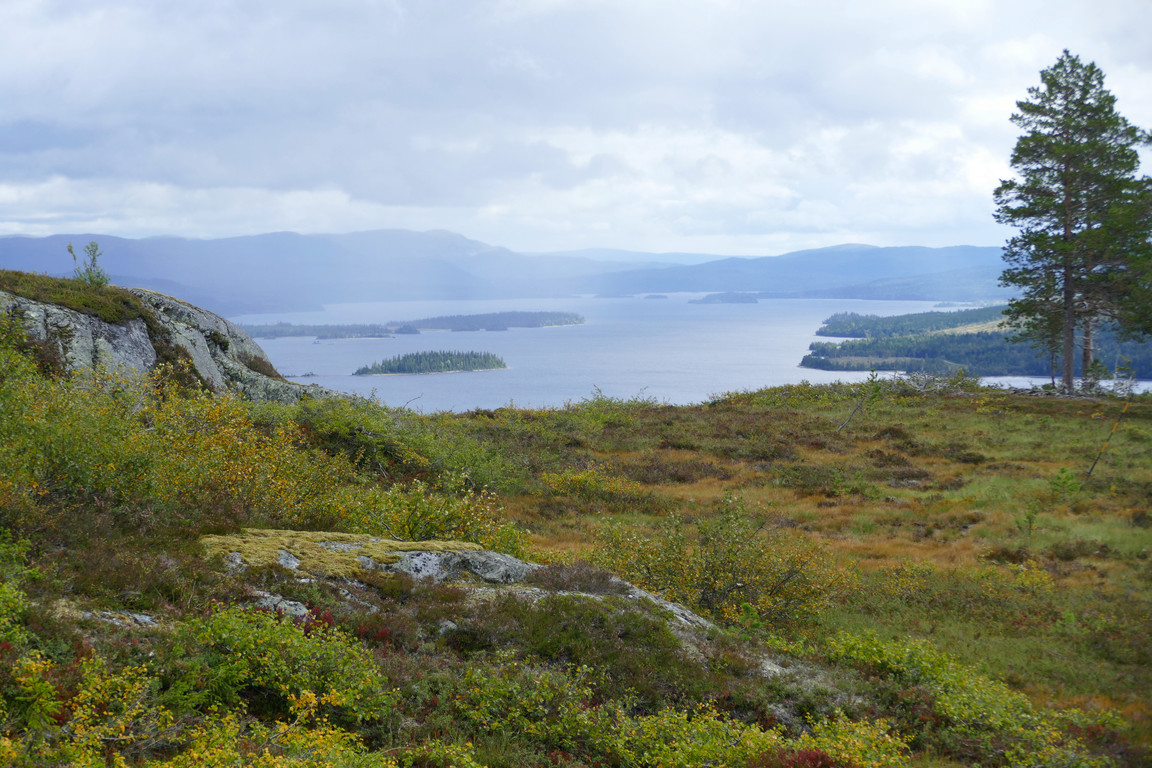
Water x 2
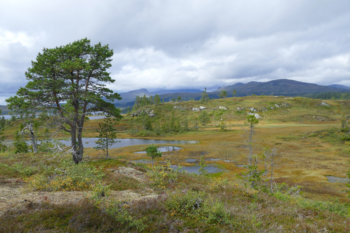
The lunch tree
From there I had a great view all around, noting a number of showers occurring at various distances, but also quite a bit of sunlight and blue skies. Having eaten one of those showers moved in at speed – and in force – bringing with it increased wind, and I huddled down behind the tree, which was just about wide enough, while it passed. Luckily it did so rather quickly, and immediately it was back to sunny while rainbows played in the distance. I stood there enjoying the scene for a while, and then set out on the last stage of the tour, attempting to see if there was a path somewhere.
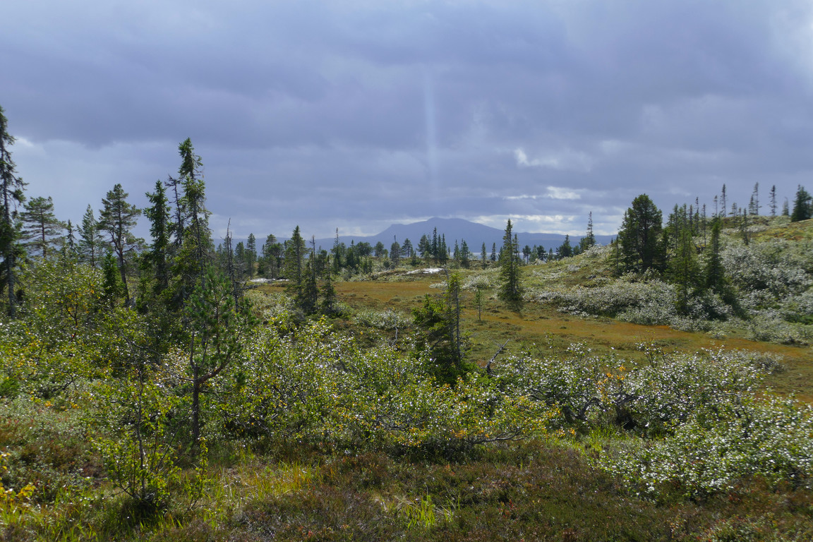
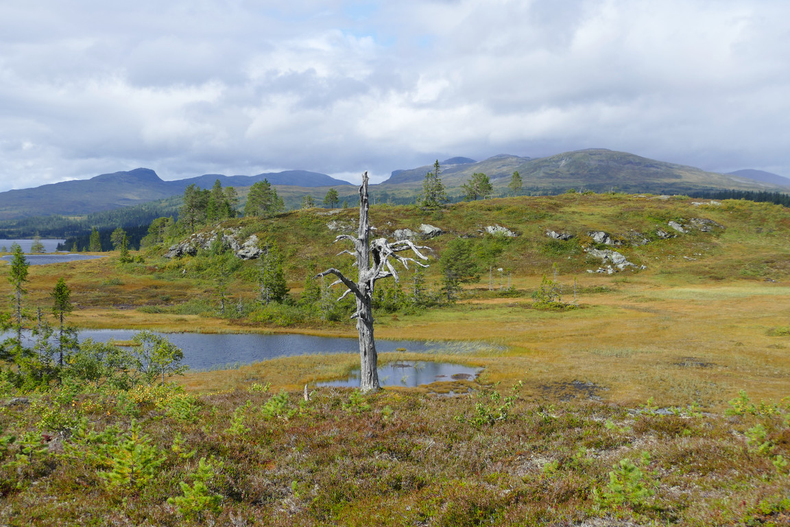
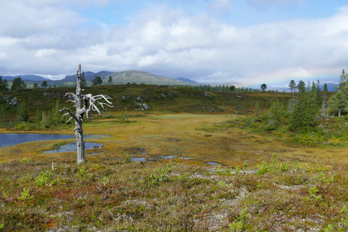
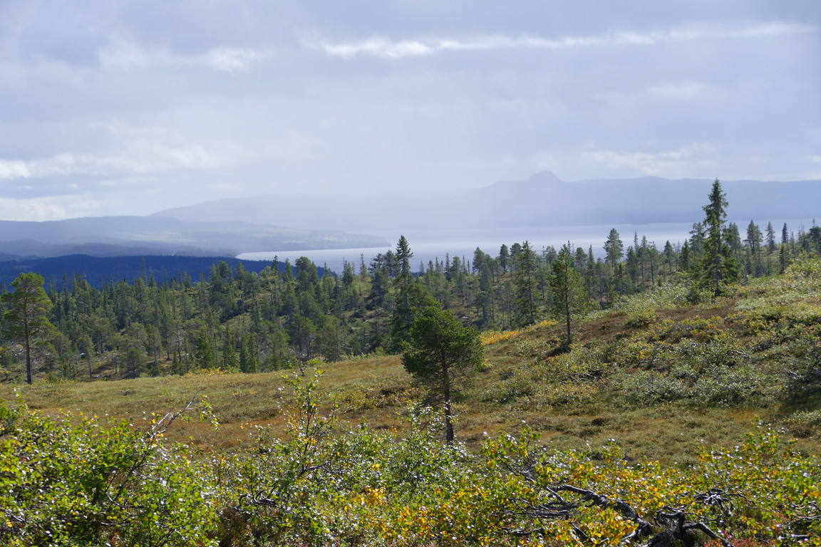
I picked my way down towards the lower/smaller of Daltjärnarna (Vale Meres), negotiating some wet areas, and passed the outflow Hästbäcken (Horse Brook) easily. Next up was a short climb up the subsequent, sparsely wooded (and somewhat wet) rise, but there was no path to be seen as I moved across its supposed route. Going down the other side was a bit tricky, as I ended up in a steep, rocky slope which took a fair bit of care (and some bustling) to traverse safely.
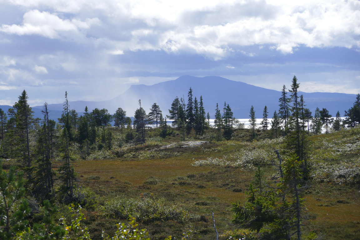
Light show
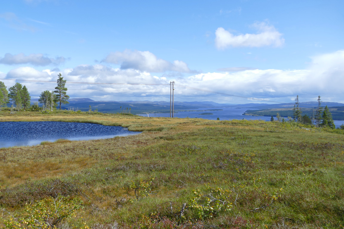
Fairer
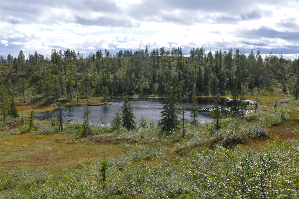
Daltjärnarna
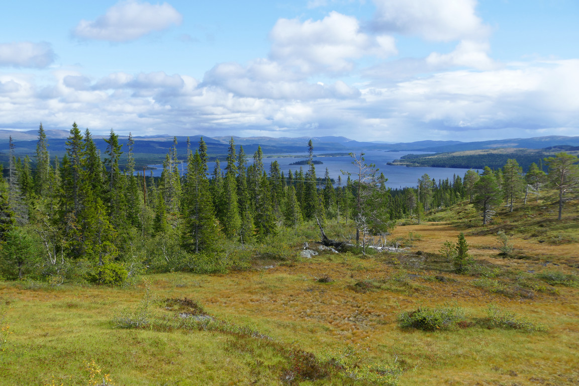
Down again
I then passed through leafy forest out onto a larger mire which I crossed at a point where it was almost bisected by a dry headland of sorts, which I then followed downwards. The following section consisted of soft forest moist with the night's rain, and before long I caught sight of the power line again while feeling warm from the lack of wind. I stayed in among the trees – where it was back to blueberries in large quantities – for a bit longer as the ground beneath said line was a bit too wet for my tastes right there, but a short distance further ahead things looked better and I utilized the cleared swath for easier progress.
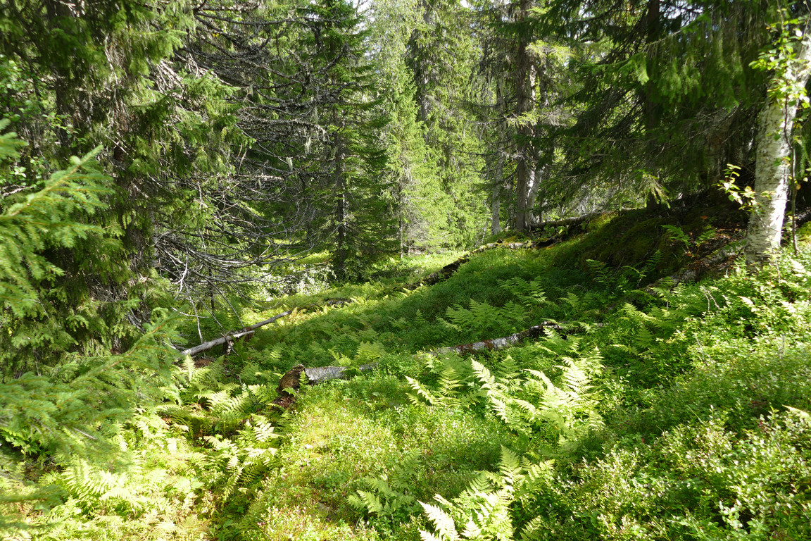
In the woods
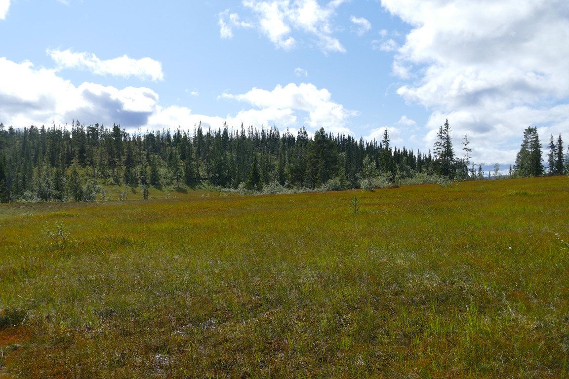
On the mire
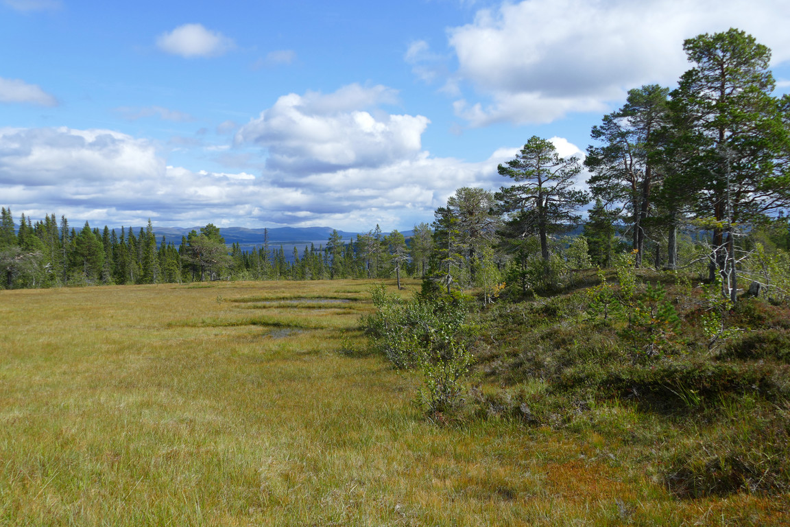
Off the mire
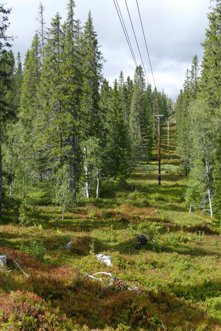
Re-line
I soon reached the point where this power line intersected a larger one out in the open, where it was back to wet. At the start of the next portion of forest there was a wide path leading off between the trees – here it was at last! – and I walked back along it a short bit to see if it did indeed lead anywhere, but it disappeared in the marsh almost at once. Instead I followed it down through the woods, mostly keeping to the sides as it was very wet with large puddles, and soon emerged onto an overgrown open area atop a short access road leading down to the main thoroughfare. It was warm indeed before I emerged into the path of the wind again, and I covered that last few hundred meters to the Kallsedets Fjällcenter camping around 13:45.
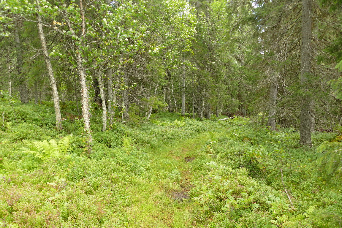
The path!
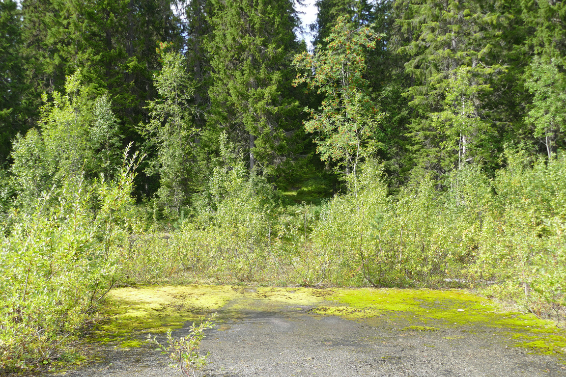
End of
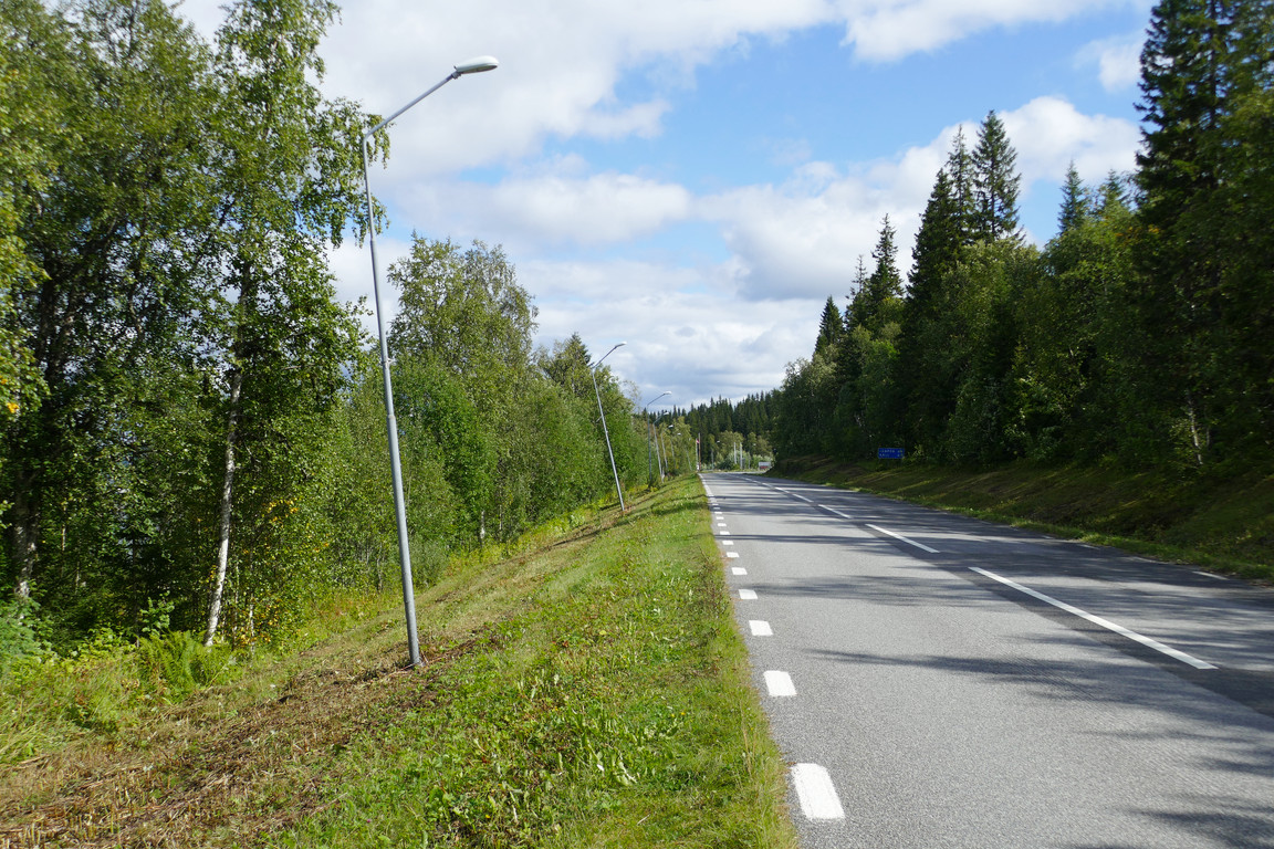
Another road
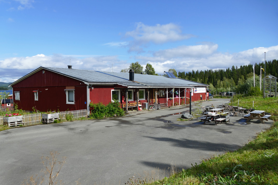
Kallsedet camping
There were some people about, and more stopped by in various configurations as I sat in the sun at the outdoor tables outside the reception (which was closed at the moment). I had about three hours until the bus to Järpen was to leave, and I spent the time doing a crossword, reading, and having an afternoon snack. The bus was running a bit late, but did eventually arrive in the form of a smaller model, which brought me back towards (denser) civilization as the only passenger while darkening clouds gradually claimed the sun once more.