Wednesday 17/8
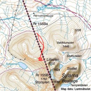
Peak 1616
| Horizontal distance: | 5 km |
| Vertical distance: | +560 m, -560 m |
| Time: | 5 h |
| Lunch break: | 1 h 30 min |
| Dinner: | Mashed potatoes with dried sausages |
| Night accommodation: | Tent |
| Stage classification: | Hard |
I slept in periods, during some of which I felt a sharp pang of pain in the knee when I turned, which put a big question mark on the planned climb, but come morning it felt mostly fine again. I got up around 07:45 when the sun had started to warm the tent up – it had been somewhat chilly just before dawn, but now it was already 14°C. Looking out I was greeted by a perfectly clear sky, and since the wind was weak I prepared and ingested breakfast outside in the sun. It was only then that I noticed that the surface of Esandsjøen was in fact not the surface of Esandsjøen, but rather a dense layer of fog that lay still upon the whole lake. Huh! I packed up for the day tour ahead, wrapping the elastic gauze bandage I always bring around the knee for warmth and support, and set out at 09:15 wearing the wind jacket.
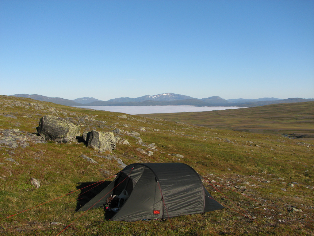
Morning (notice fog!)
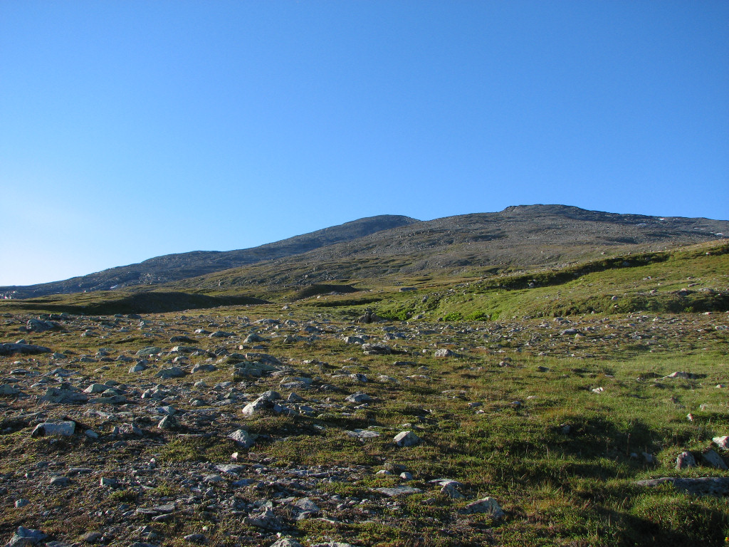
Clear skies
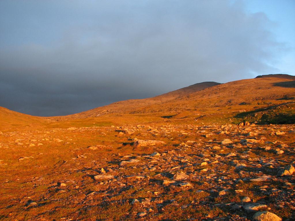
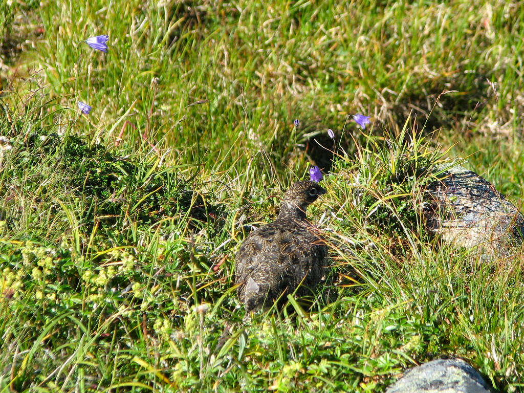
The rucksack was now so light I hardly felt it as I strode over to the larger stream at an angle, crossing it between a series of low falls and a wide hollow strewn with rocks, showing how big it can get (or has historically gotten) during the spring flood. On the other side were a series of rises I went over/around, and with the help of the walking stick the knee held up nicely. The wind had mostly died down and it was quite warm in the blazing sun as I wound my way over the more and more stony land to find better ground, scaring a flock of ptarmigans in the process. I ended up going in an arc up the northeastern slope of peak 1616, which was my first target, keeping to the moss and dirt that could still be seen among all the rocks.
The wind was now on the increase, and I had to zip up as I got higher. Eventually I was going more or less straight up through the rock fields, where some of the constituents were loose so I had to be careful, and at a few times I even employed the help of the free hand. The wind had ramped itself up to strong by the time I reached an extensive snowfield that made things much easier for a while, but then it was back to tough going on a steeper section of rocks. Suddenly things got better and I easily covered the last bit up to the crest...
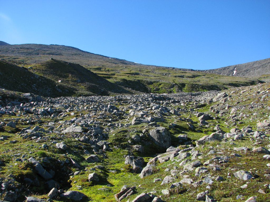
Waterless
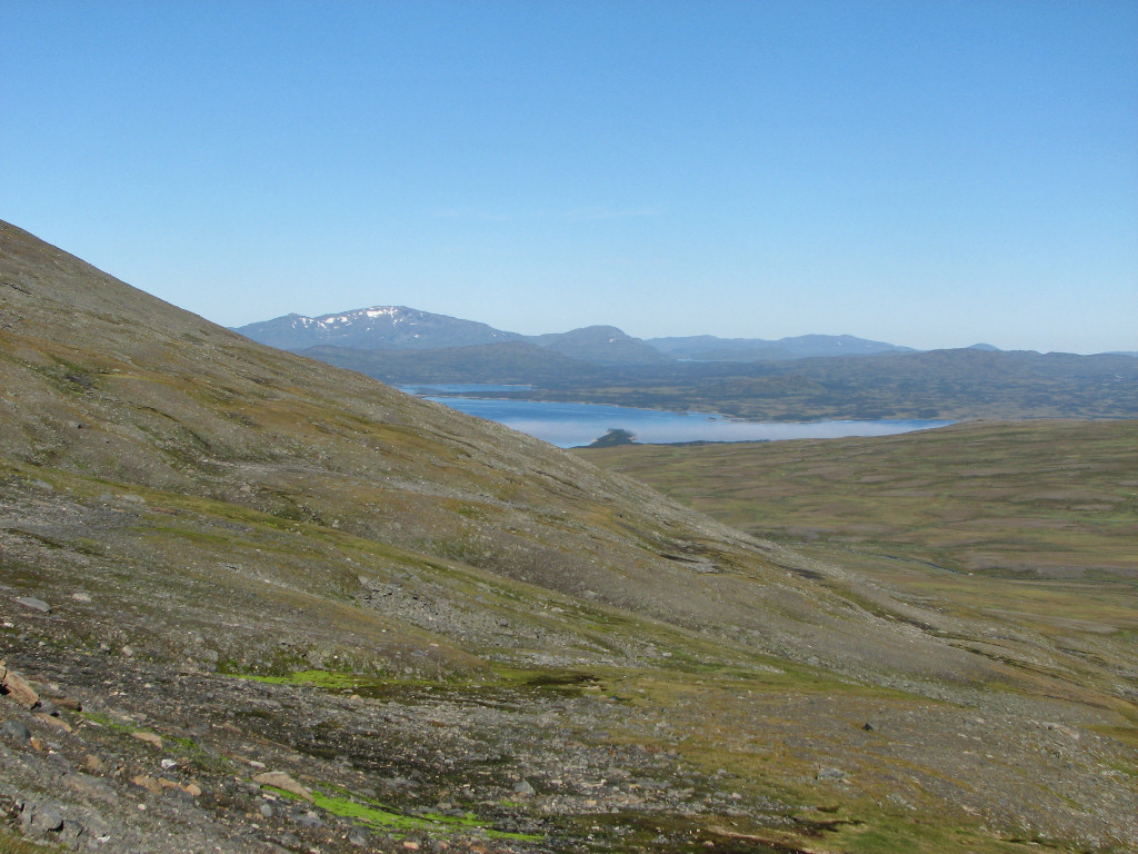
The northeastern bay of Esandsjøen
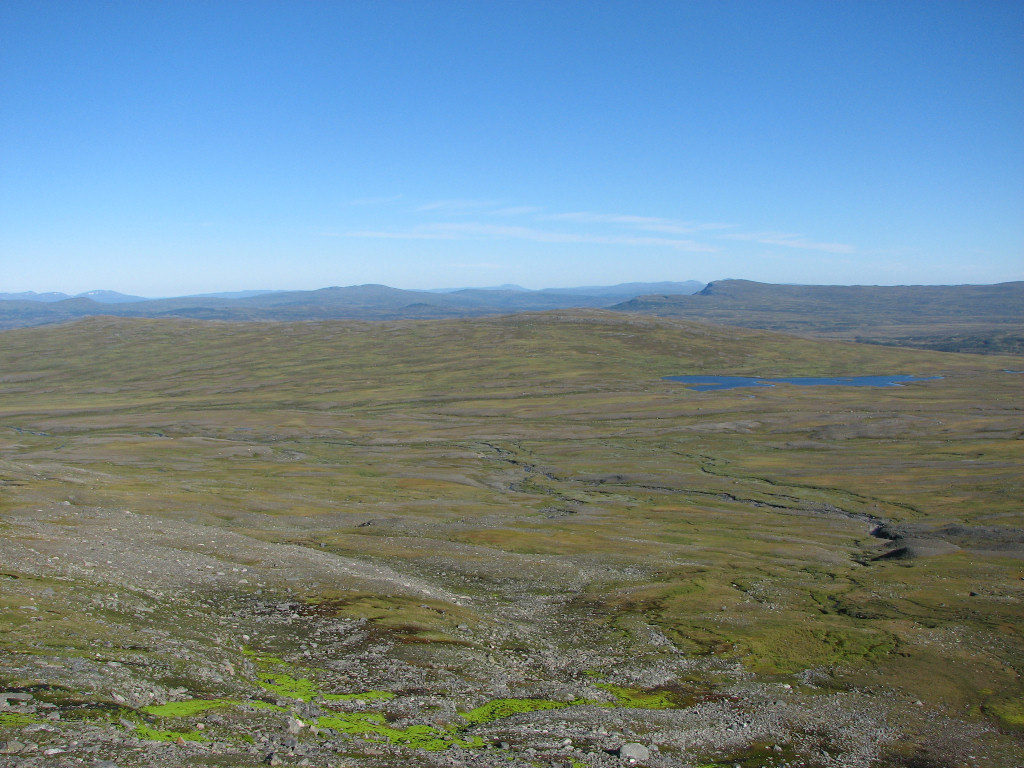
Looking north along the border
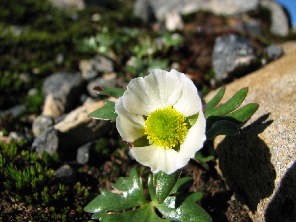
A glacier buttercup...
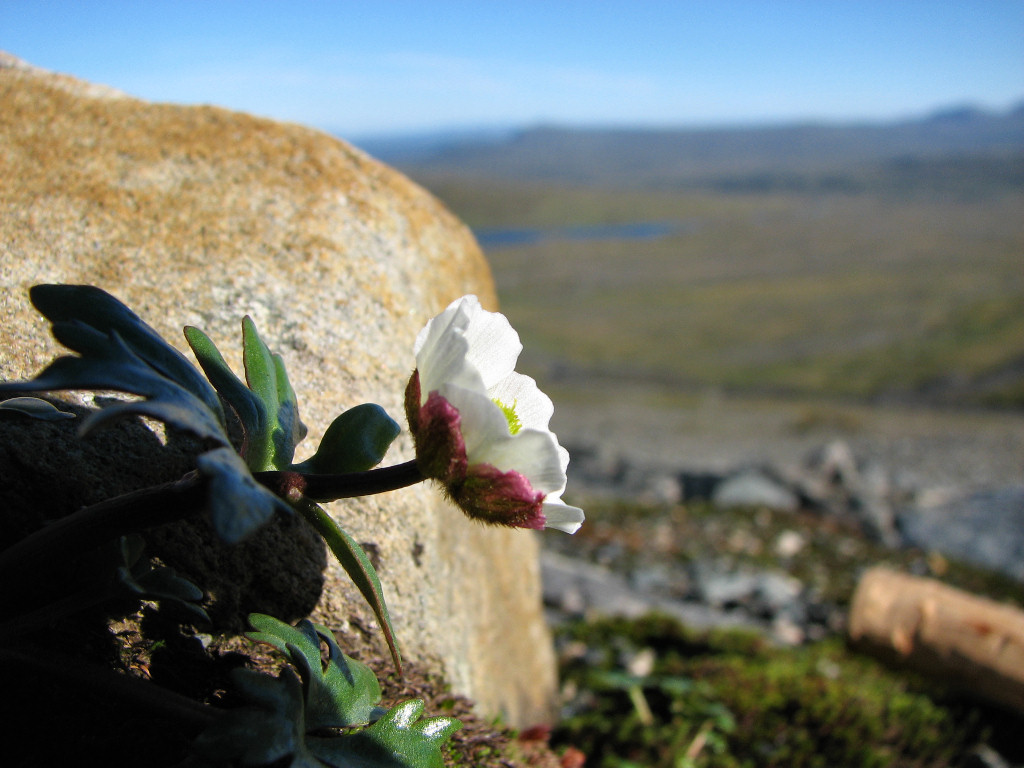
...braving the heights
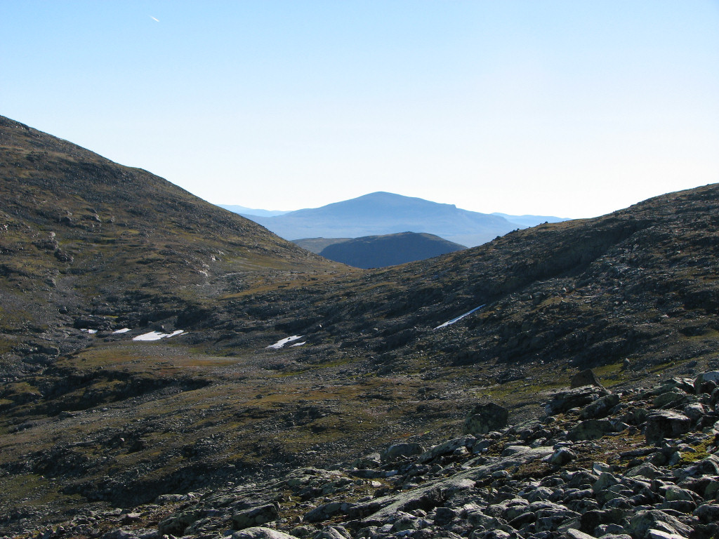
Stora Härjångsstöten in the distance
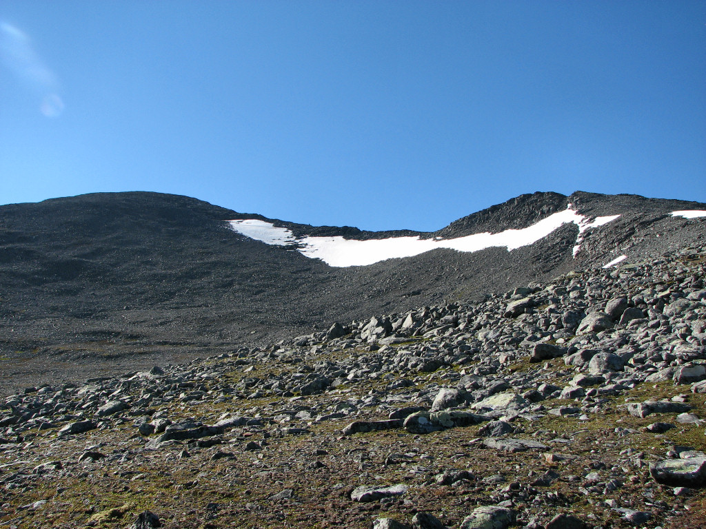
Lillsylen (left) and peak 1616 (right)
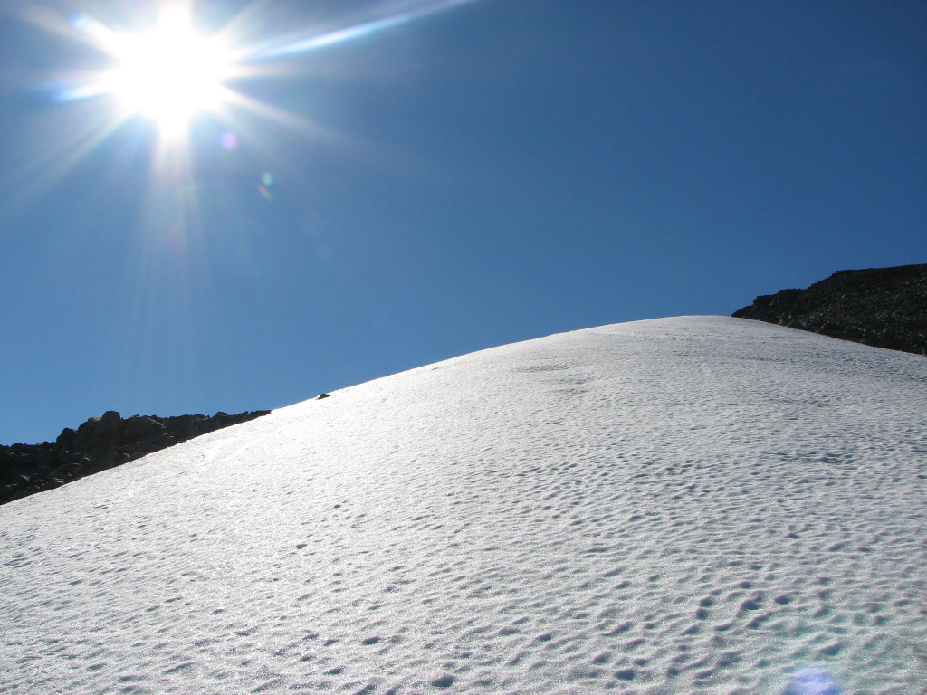
Upon the snow
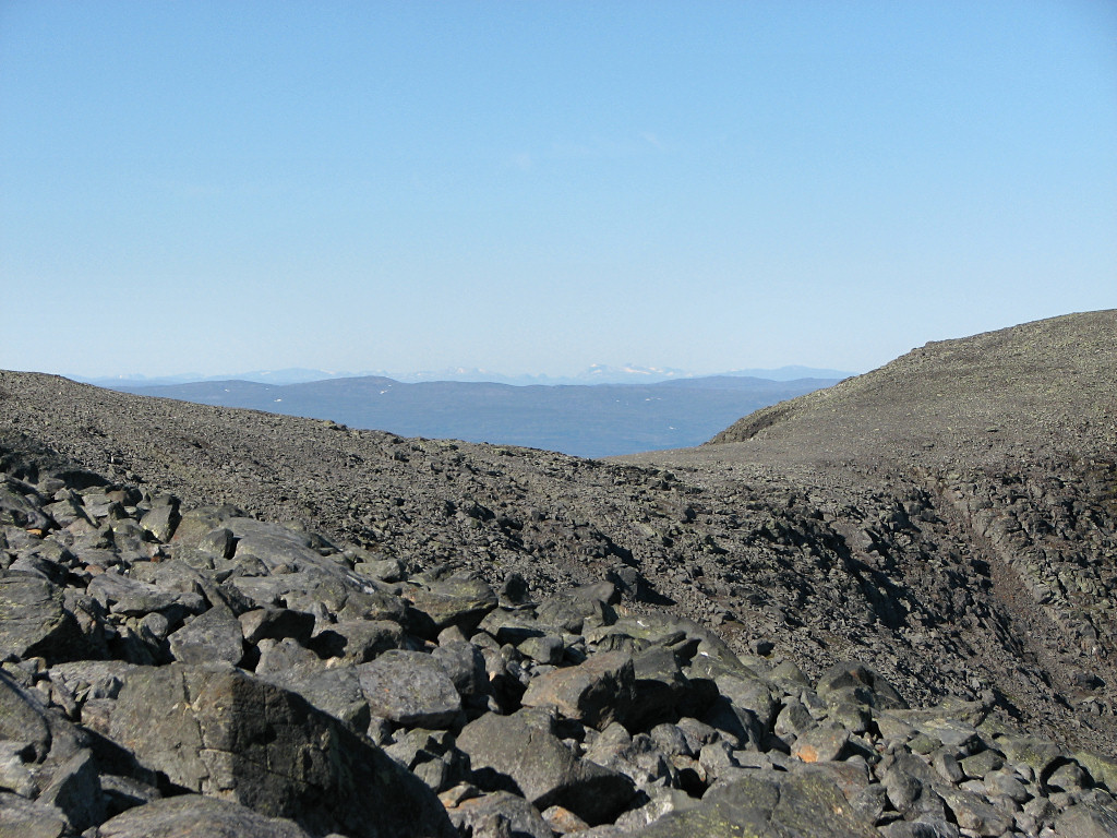
Distant Norwegian fjelds
...where I was, once again, struck by the awesome effect of the sudden appearance of an absolutely stunning view, making me whoop aloud. The perspective on Lillsylen and Storsylen was wild, with the valley of Syltjørna sprawling out far below; Sylporten, Nesjøen/Esandsjøen and everything beyond completed the Norwegian scene, and on the Swedish side I could see far to the north and northeast, including the Sylarna station. The only drawback was that Helags was hidden from this angle, as was most of Templet (Temple), but that didn't matter much. Wow!
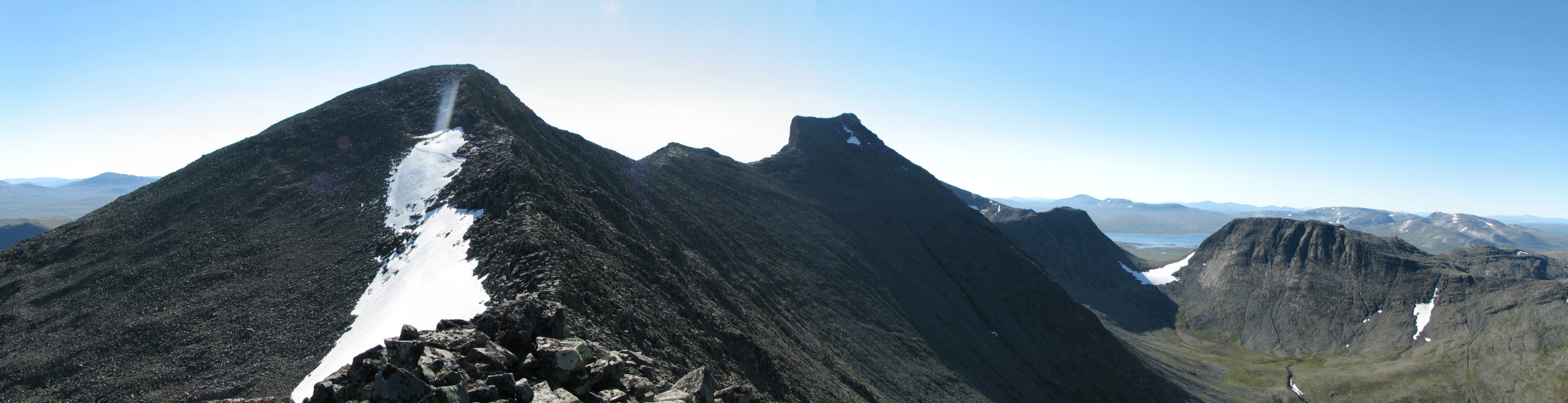
Panorama over Lillsylen, Pyramiden, Storsylen and Sylporten

Panorama over Nesjøen/Esandsjøen, with the ridge to Nordsylen in the middle
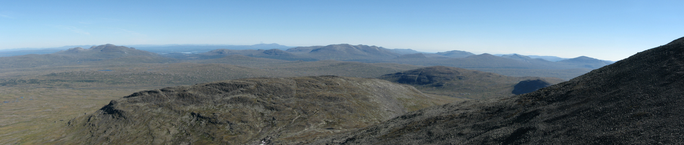
Panorama from Snasahögarna and Bunnerfjällen to Gåsen and Härjångsfjällen
I had come up onto the ridge slightly west of the actual summit, so I scooted over, noting that an intersecting crevice in said ridge I had seen from below was quite shallow and easily passed up here. The continuation of the ridge to Lillsylen looked somewhat difficult, being rather narrow and steep with at least one section that would apparently require some light climbing. I made my way down to the saddle point to have a closer look, doing so very carefully since the edge wasn't too broad here either and consisted of partially loose rocks in uneven formations.
Standing at the start of the rise to Lillsylen it was time to make another decision – it had taken me just over an hour to reach the ridge, so there was ample time to go further. My plan had been to make it up to Lillsylen as well, and possibly all the way to Storsylen if time and energy permitted, but given the state of my knee combined with the state of the steep ridge I felt that it wouldn't work. To wit, I felt confident that I could get up, but with the knee such as it was – and how it had felt just coming down the much simpler part to the saddle – I might not be able to get down again, at least not without a considerable expense of time, energy and pain. Furthermore, the alternative return route along the northeastern slope of Lillsylen itself also looked appreciably worse than the way up 1616, with a much longer stretch of fairly steep loose rocks.
Instead I returned up to 1616, putting the gloves on against the chilling wind, and then proceeded a little ways along the ridge towards Nordsylen until that too got steeper, for a somewhat different perspective on Templet and Syltjørna. People had now started appearing on the border-squatting edge of the massif, most angling their way towards Storsylen – the final ascent of which looked completely impossible from this perspective (but of course isn't). Myself I returned to the summit cairn where the topography conspired to bring the wind strength down to near zero, and sat down for a long lunch at 11:15. I watched a number of people going up and down, some from the Norwegian side as well, including several small groups on Lillsylen – but I had my little peak for myself all the time.
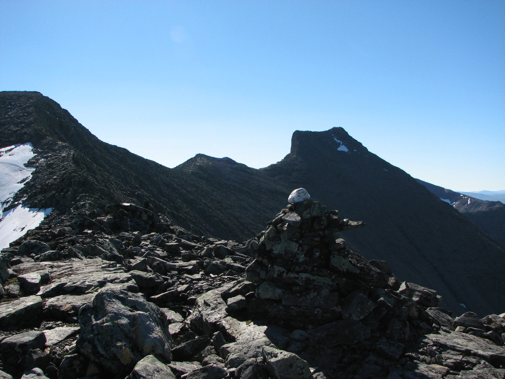
1616 (towards Sweden)
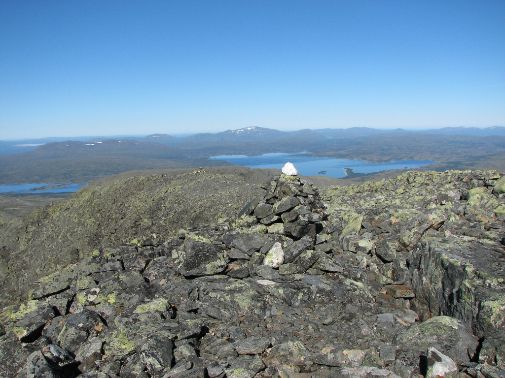
1616 (towards Norway)
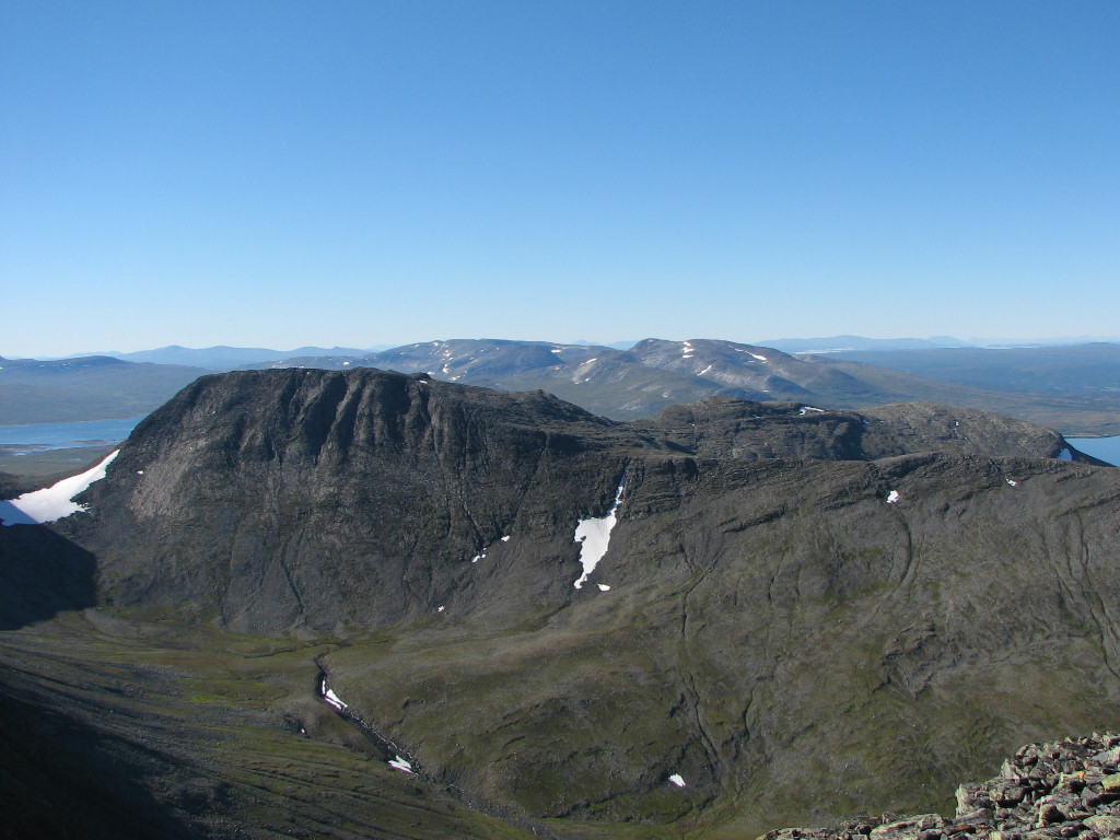
Skardsfjella behind
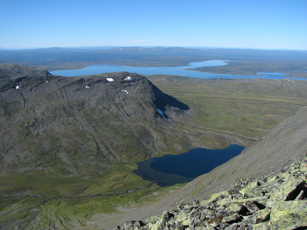
Syltjørna below
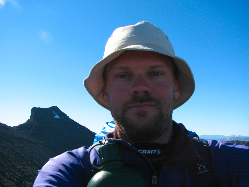
Author (glasses-less)
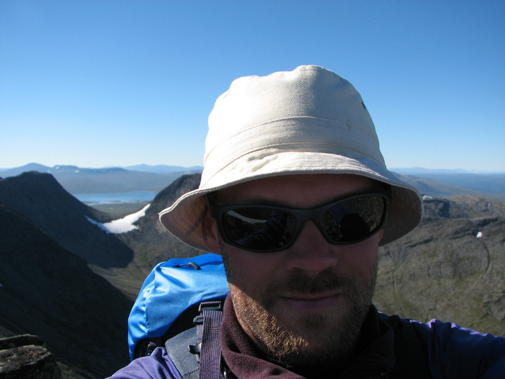
Author (glasses-ful)
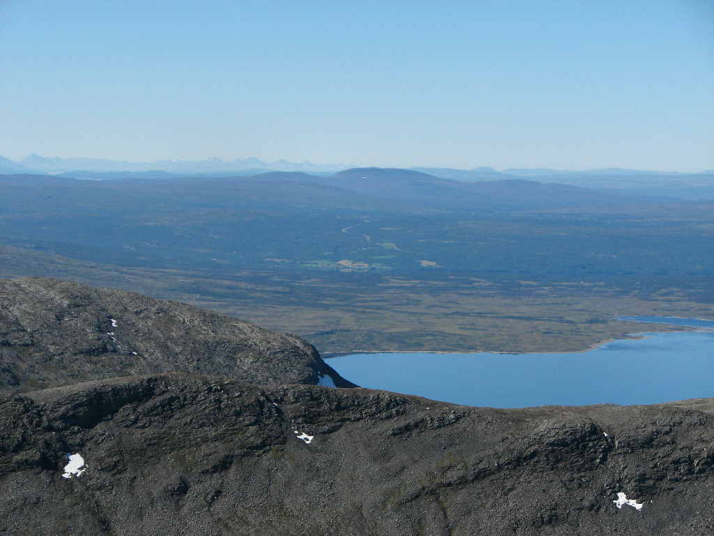
Far-off civilization
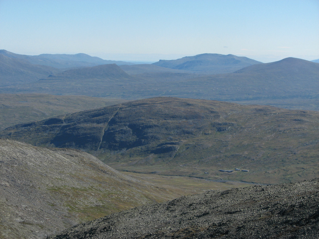
The Sylarna fjeld station
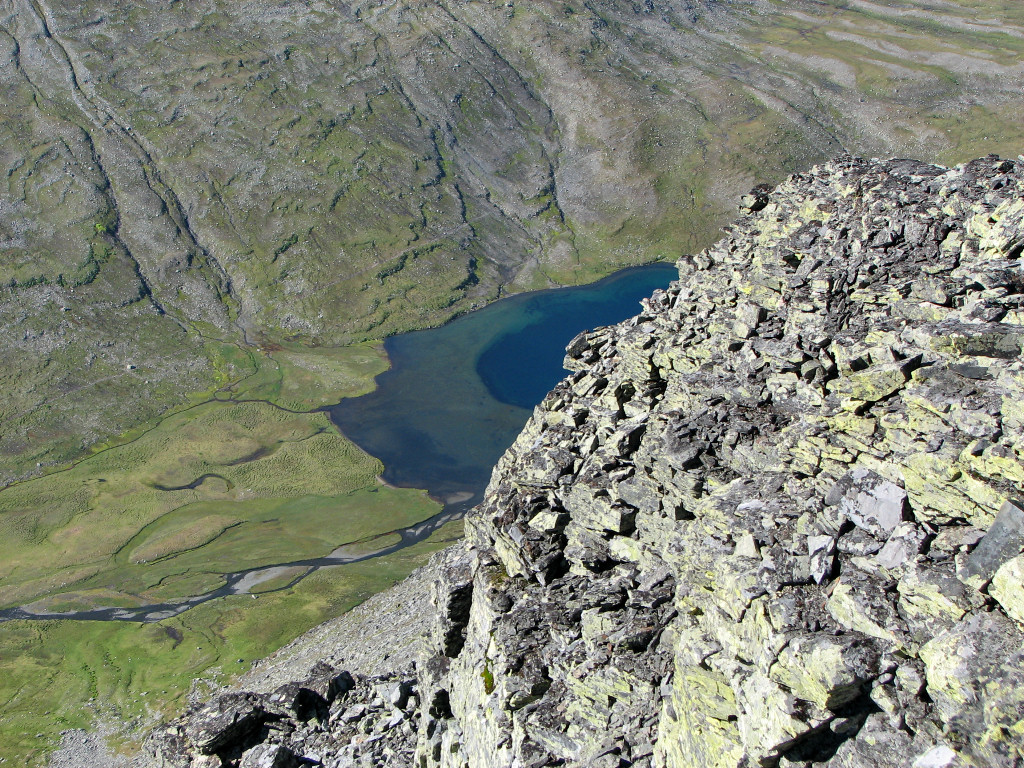
Another dizzying look at Syltjørna
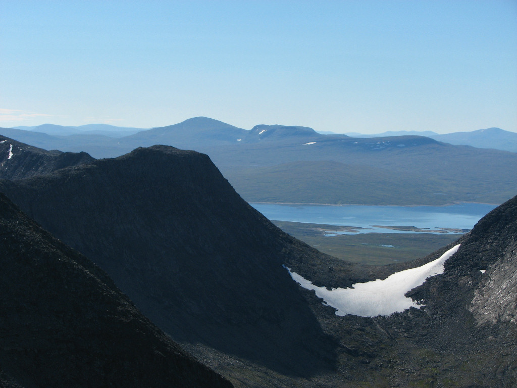
Sylsjön through Sylporten
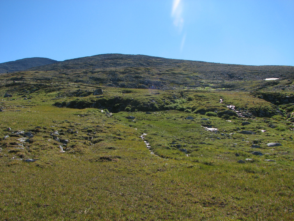
At long last I packed up and prepared for the descent, foregoing the gloves as it was now warmer. The knee was rather painful and having to negotiate all the rocks didn't exactly help; almost at once I developped a special style that employed the stick and the healthy leg in a way that I could avoid the one particular movement that was causing all the trouble, and in this manner I slowly wound my way downwards. This time I kept a more straight general heading, finding the slant to be slightly more manageable, and after passing the snowfield I did the same, finding more moss and dirt that facilitated progress. When I reached the next steeper part I turned east again, but once I was clear of the rougher parts I walked straight once more instead of retracing the arc I had made on the way up.
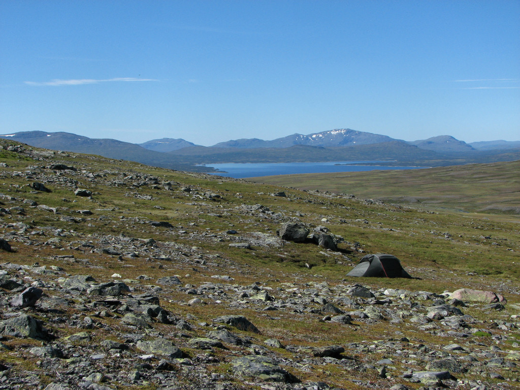
This brought me to an area of stony grass where I could make broad zigzagging motions so as to get a proper stride length, which made walking much more comfortable as this also alleviated the aforementioned knee movement. Before long I emerged onto proper grassland where I could stretch out freely, which felt sooo good – and it also meant I could loosen my grip on the stick, which had begun to hurt a bit from all the exerted pressure during the descent. I aimed straight for my tent, the location of which I had been careful to note at regular intervals in both directions – and speaking of tents that belonging to the other two hikers was now gone. After inadvertently rousing another flock of ptarmigans that were hiding in the low bushes I crossed the stream at the place where I had had my wash the day before, and reached the tent shortly after 14:15 – which surprised me somewhat, since it felt like the descent had taken a much longer time, especially compared to the speedy ascent.
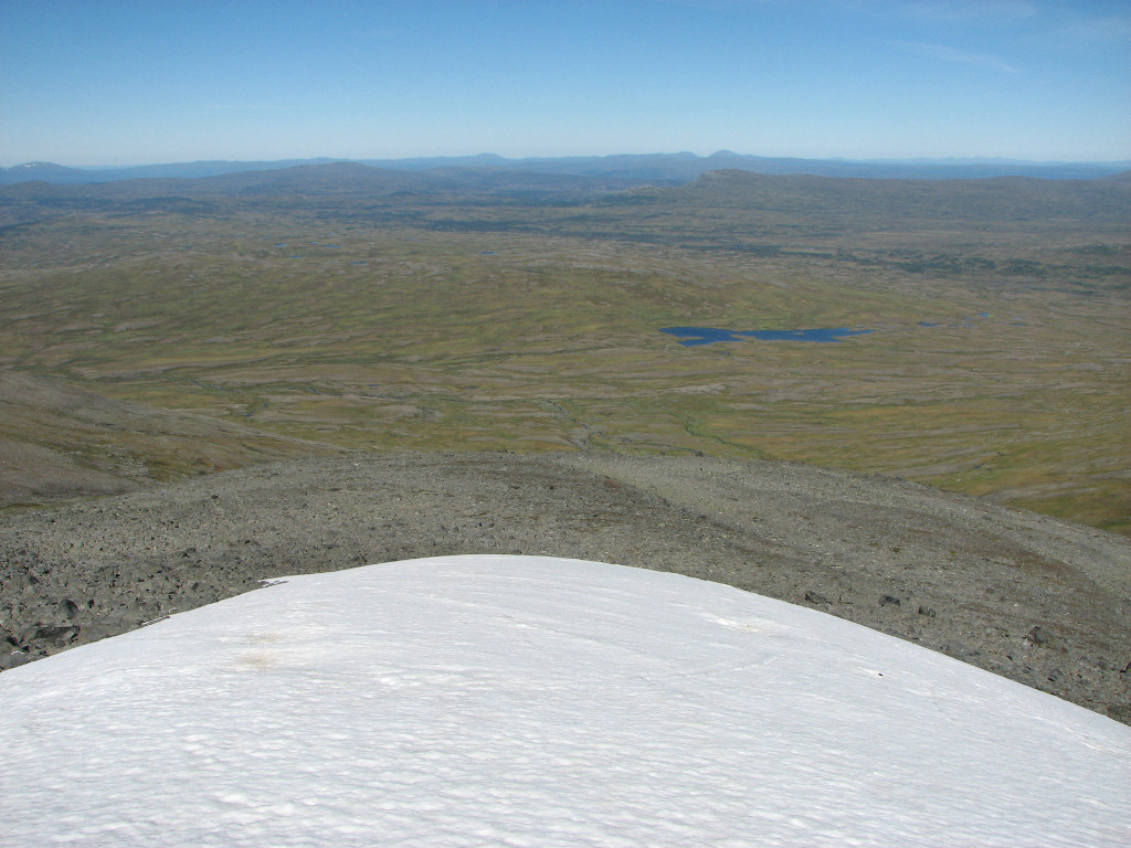
Crossing the snowfield again
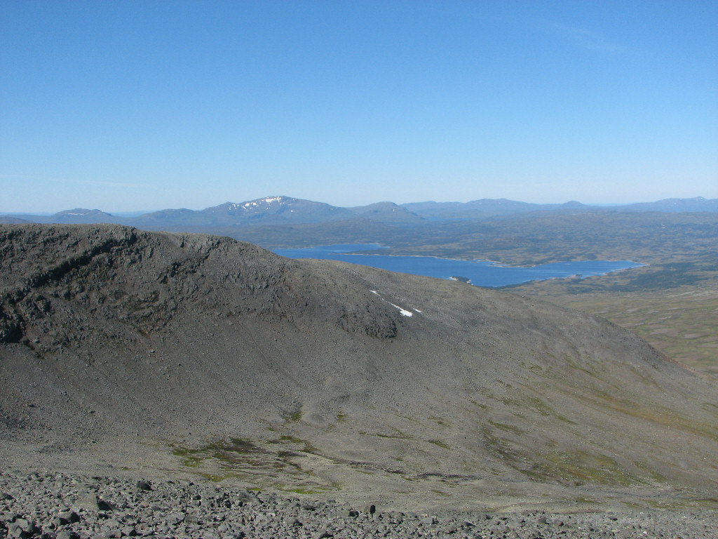
Esandsjøen behind the grey Nordsylen
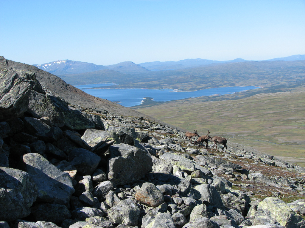
Reindeer about
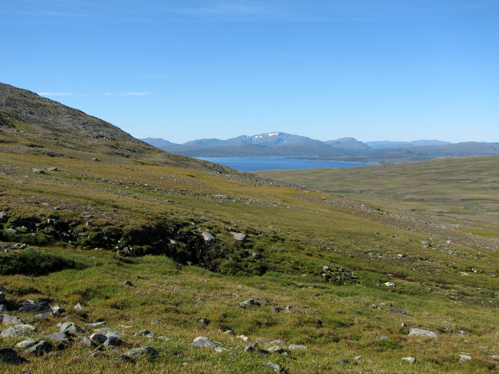
Nice!
The way down
Docile ptarmigan
Found it!
Approaching clouds
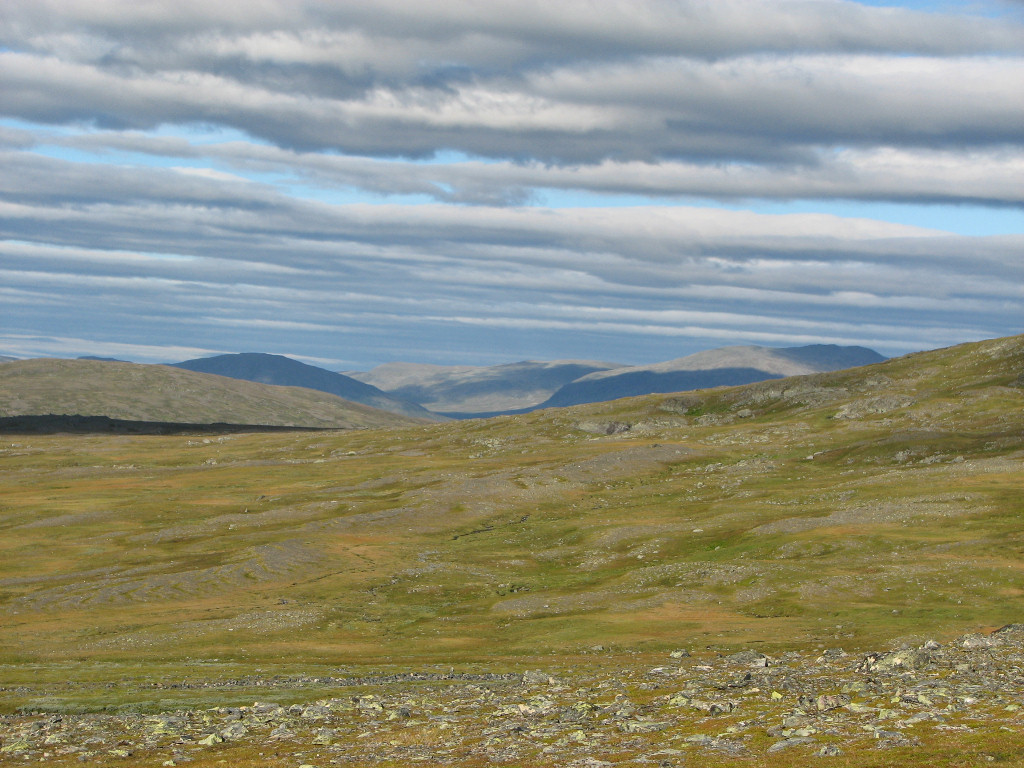
I relaxed outside in the shifting and quite appreciable wind, noting a single hiker making his way up the valley on the other side of the streams. After having an afternoon snack out on a nearby rock I went inside the tent for a bit and solved some crosswords, but the fair weather soon brought me outside again. The wind was still at it, however, and eventually I returned to the shelter of the tent. By then a few high clouds had appeared in the sky, and more were on the way from the east, but it would take some time yet before they could catch up with the western sun.
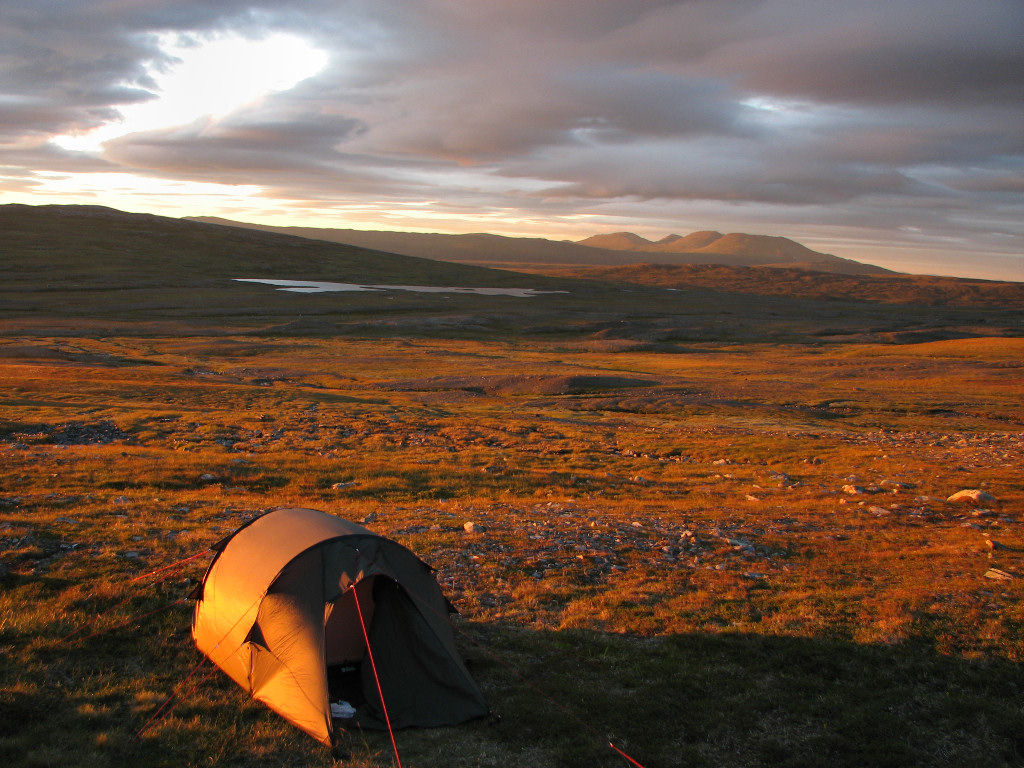
After resting and reading for a while I went out to prepare dinner in the shelter of the adjacent cloven rock I had used for the same purpose at breakfast, and once again ate looking out over Esandsjøen and Lopmesvaerie. Good times. The high clouds had proven rather swift and were now indeed overtaking the sun, so I found myself in shadow from time to time. After sitting outside for a while I went back to the tent and rested with music in my ears and then took to reading and crosswords.
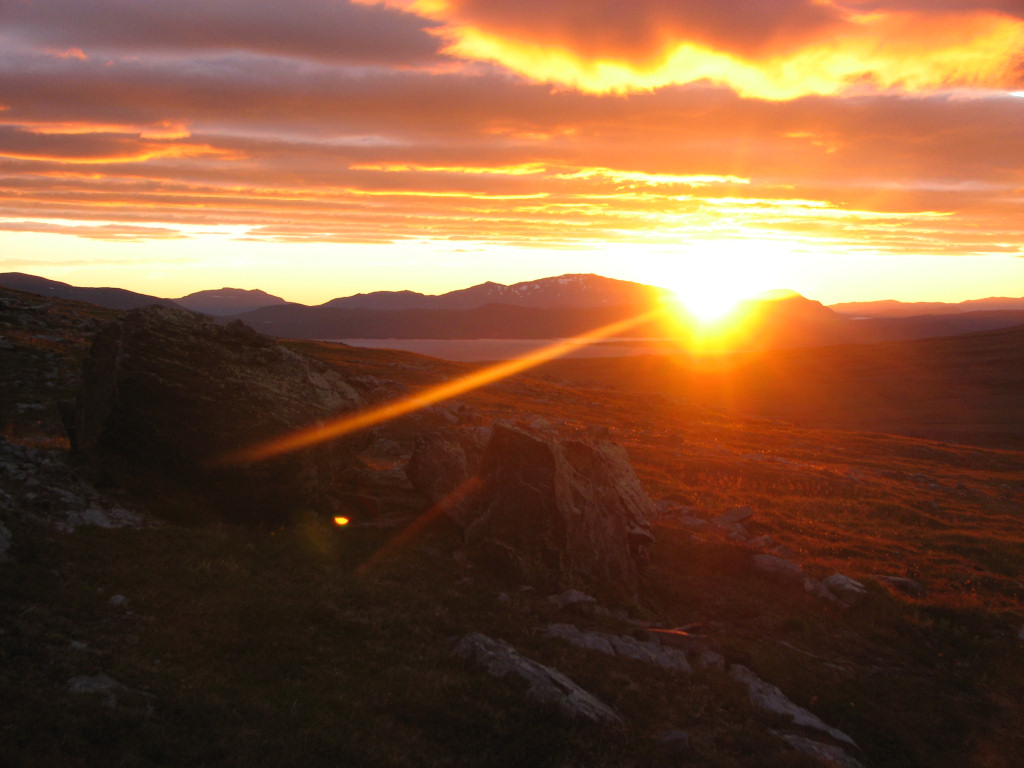
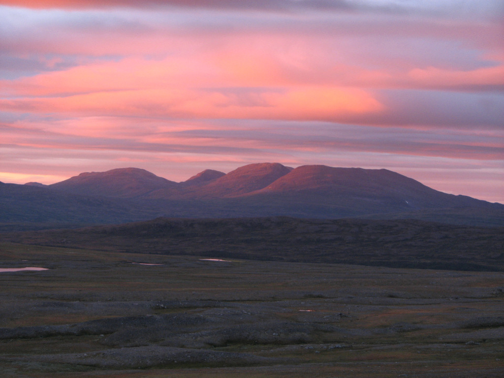
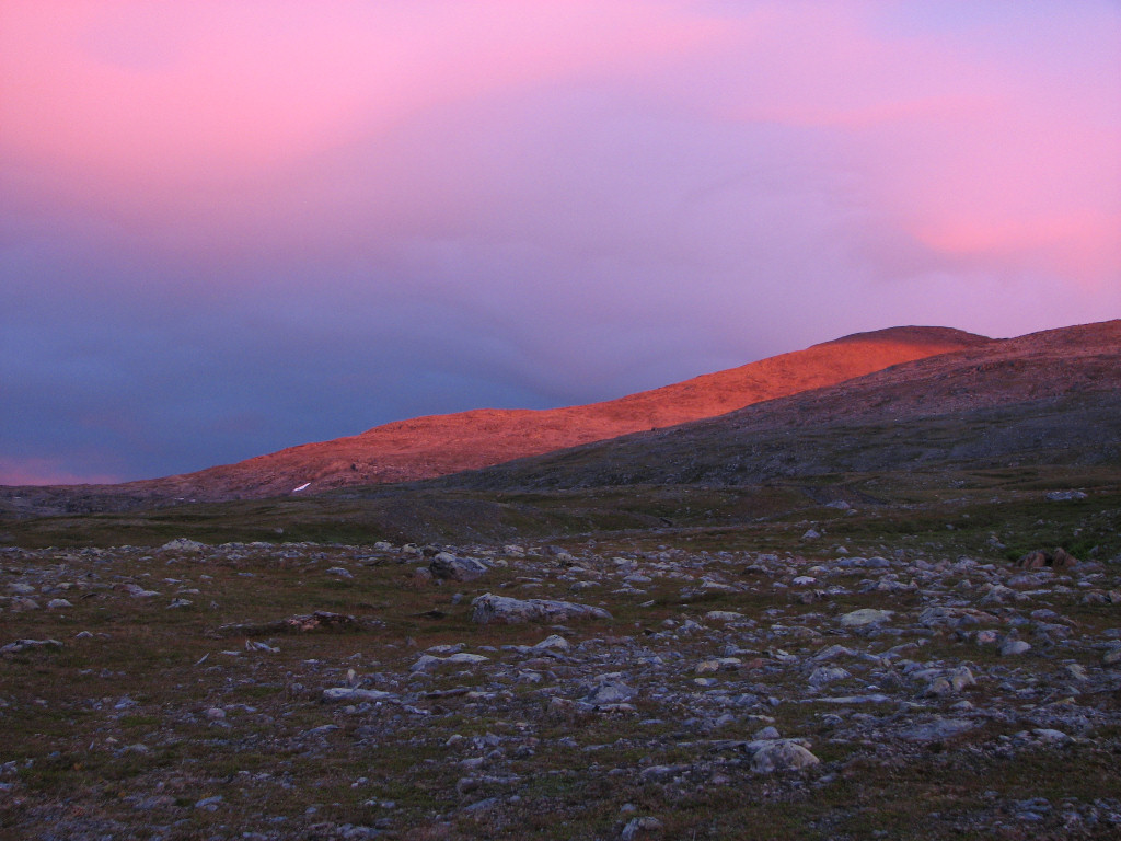
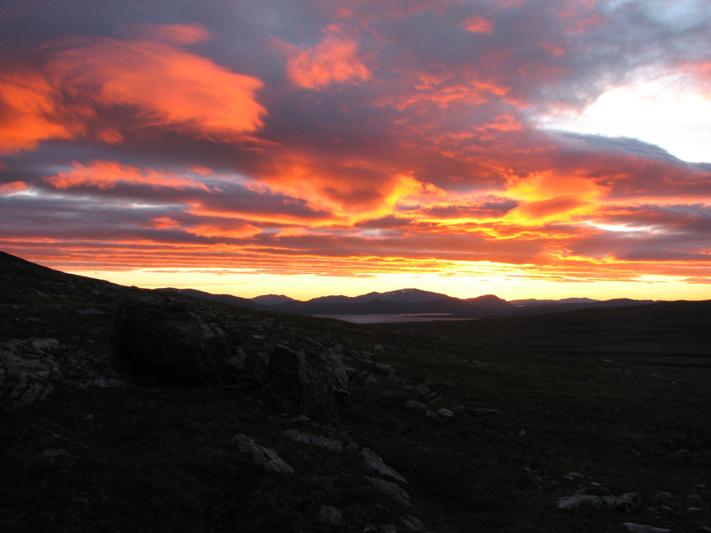
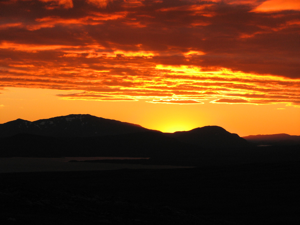
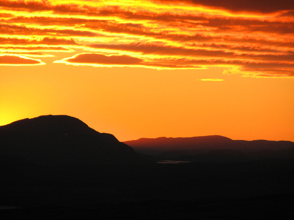
Later in the evening I went out into a very warm light as the sinking sun had emerged again from underneath the clouds, and right after I had had my evening snack the light intensified markedly, causing my camera to work frenetically. It was another beautiful end to another beautiful day, even though the unrelenting wind was rather cold, so I spent the rest of my waking time inside the tent reading until hitting the sack shortly after 22.