Tuesday 24/2
Njunjes
| Horizontal distance: | 14 km |
| Vertical distance: | -40 m, +400 m, -60 m, +60 m, -280 m, +60 m, -200 m, +60 m |
| Time: | 5 h |
| Lunch break: | 45 min |
| Dinner: | – |
| Night accommodation: | – |
| Stage classification: | Easy/Medium |
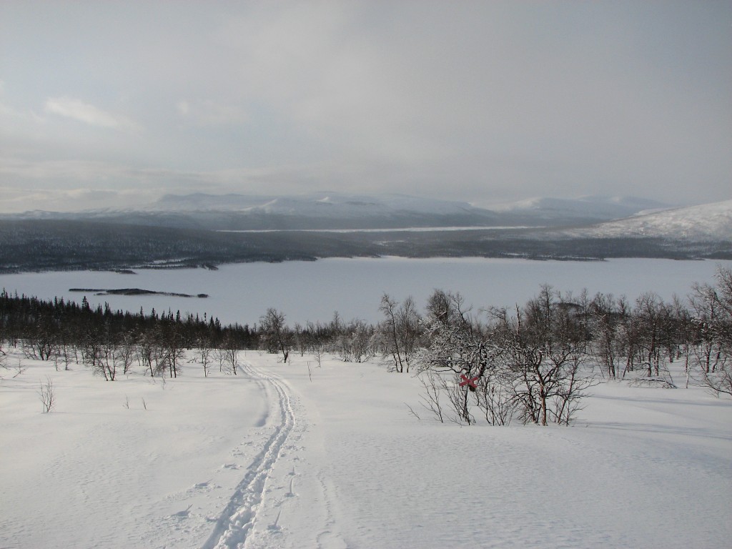
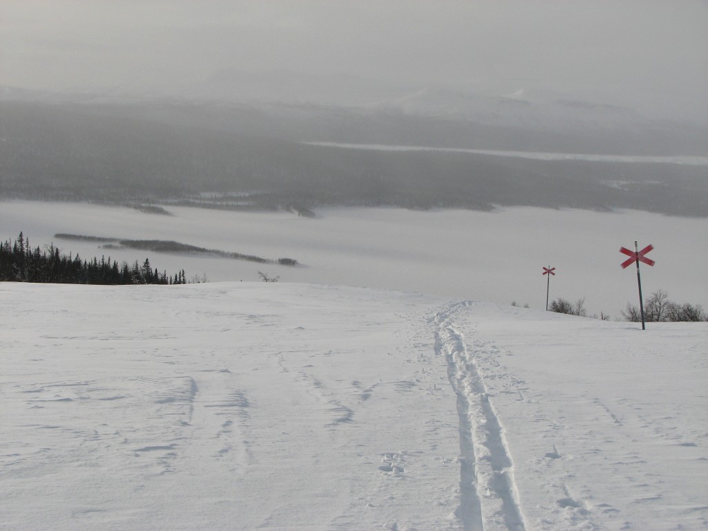
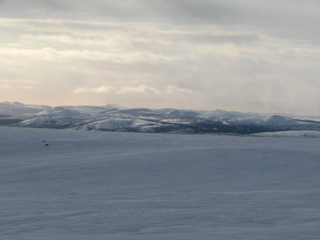
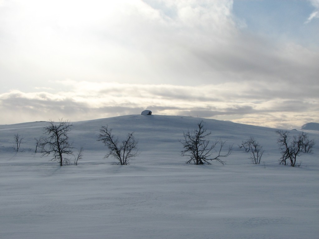
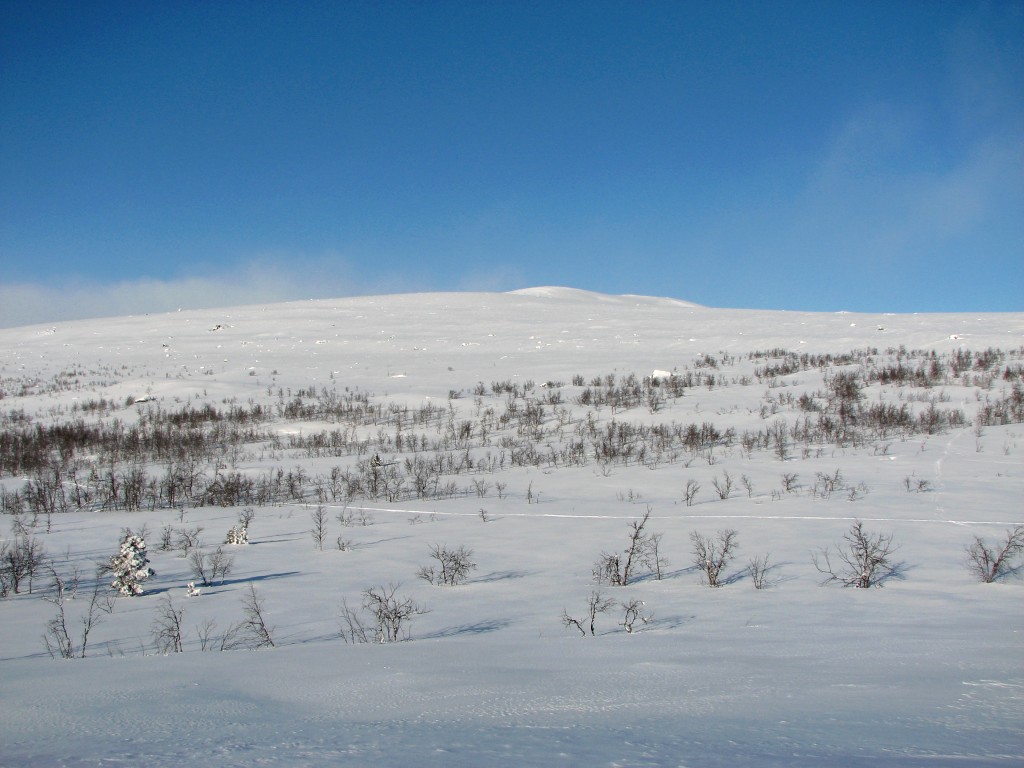
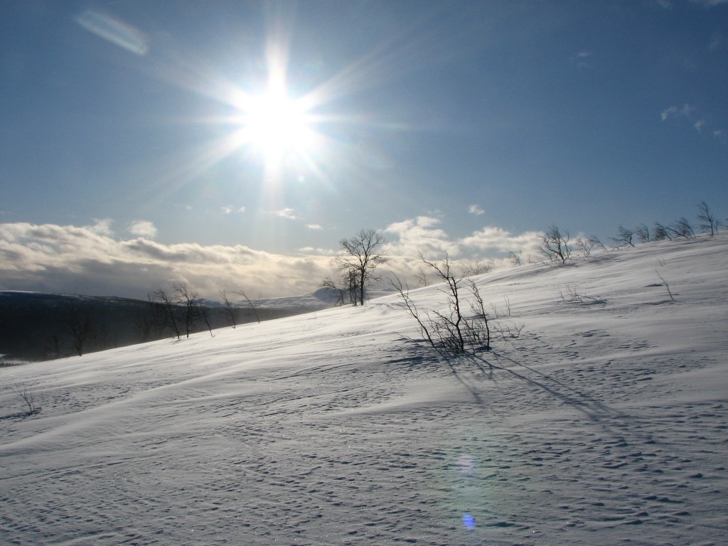
The sun was clouded when I left, following the winter trail up the slope; since no one had passed that way since the recent snowfall I got excellent grip, even though some portions required the V-style. As I got higher a light wind picked up, and the sun also started showing itself a bit. Off to the east and southeast it was rather fair, and the light was beautiful indeed. Above the trees the wind had erased all tracks, leaving a reasonably smooth surface that was very good for skiing. The higher I got the more obvious it became that further ahead, behind the rise, there was a wall of whiteness, and soon enough another was closing fast from the southwest. As I cut past the bend in the trail up in the flat region the horizon disappeared, and it was now all white both to my left and my right. The wind had increased considerably, and when I reached the next bend I stopped to reevaluate.
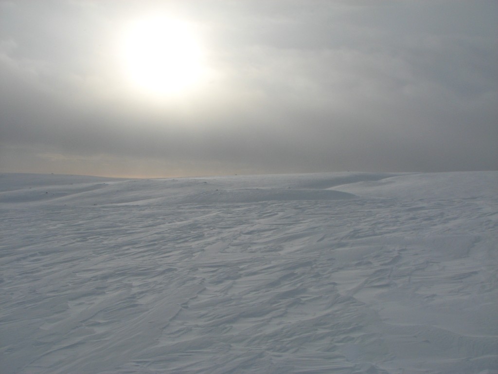
As I stood there an intense bout of snow came to pass, but it did not last for too long, and when visibility was restored I went on (the trail markers had been distinguishable all the time). At the start of the downhill slope I stopped again; I could see very well to the northeast, but to the north and northwest things were still white. Just the same I continued down to the next crest, below which the slope started for real, and now the time had come to make a final decision whether to go on or not. Another snow shower came and went, and since things only seemed to be worse up Sijddojávrre I resolved to postpone the Sitojaure visit to another day – not because of safety concerns, but simply because it did not seem worth it at this time, especially considering that I had several weeks ahead of me.
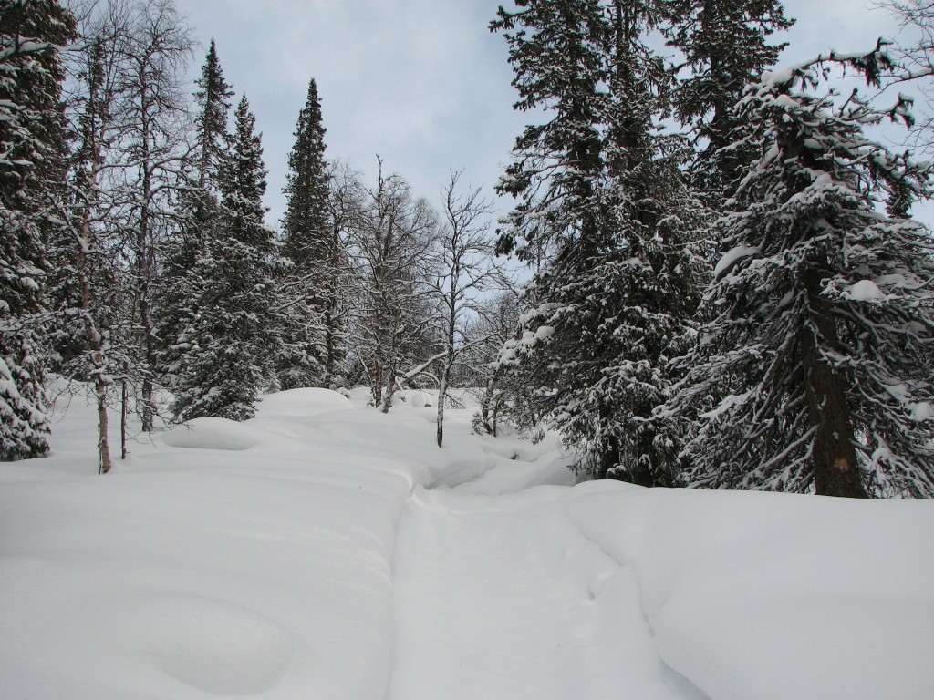
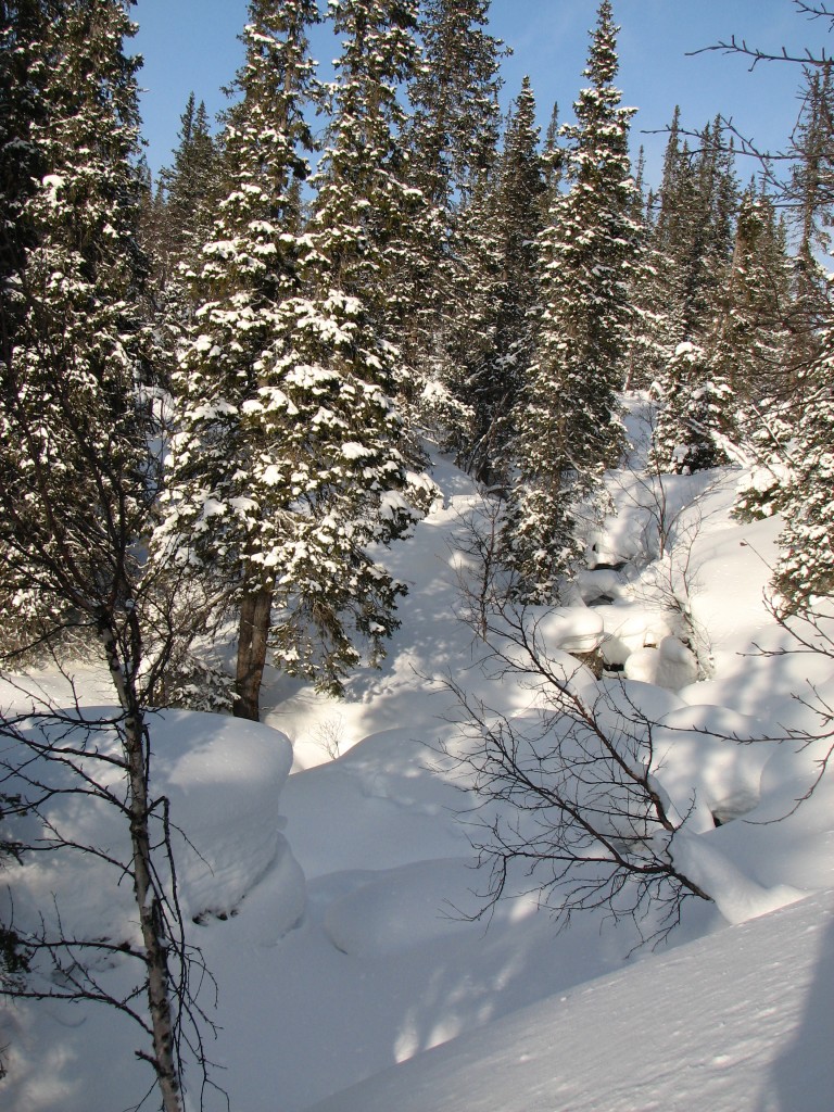
Among the spruces
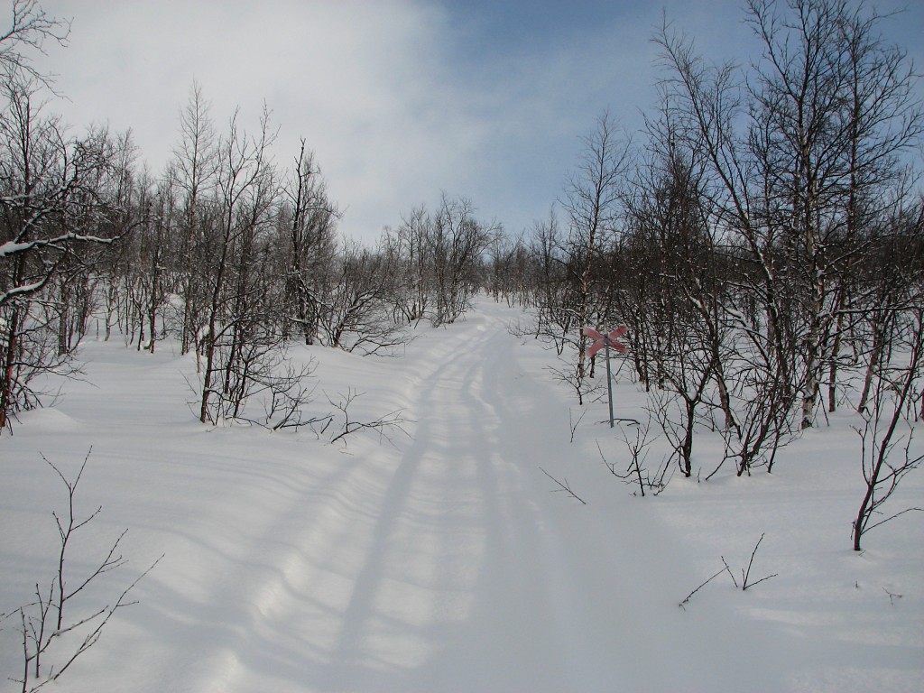
Among the birches
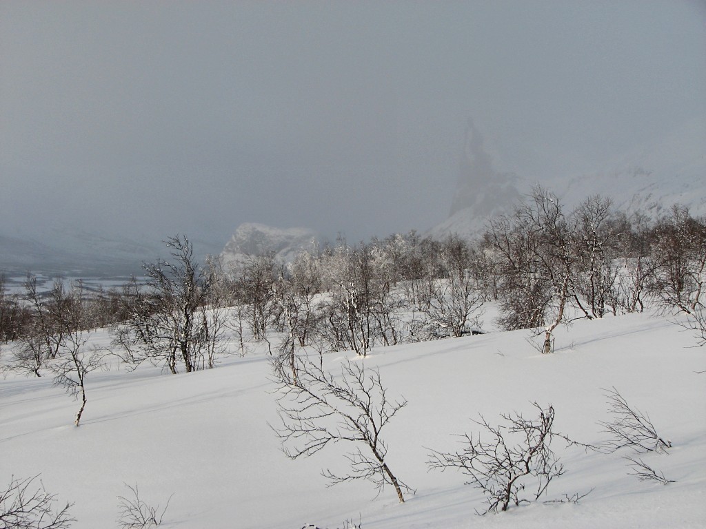
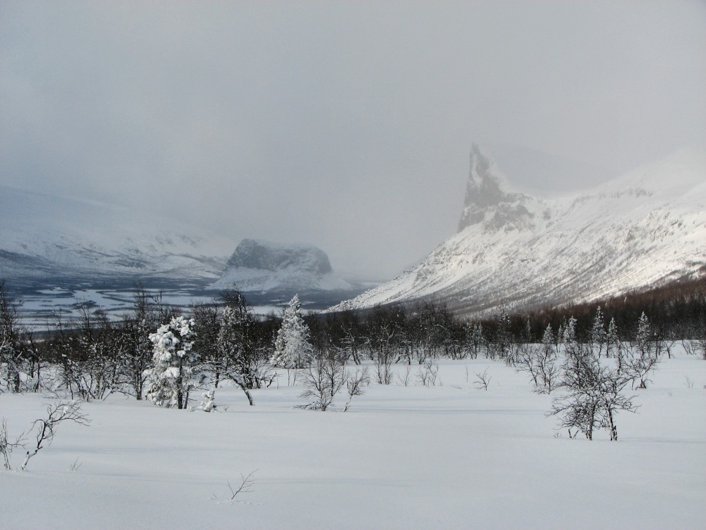
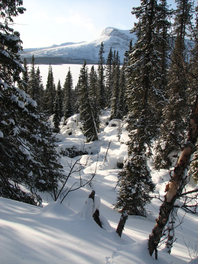
Nammásj and Skierffe just visible
Lájtávrre and Gábllá
Pretty light
Still going up
Still fair over Tjaktjajávrre
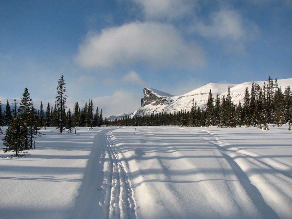
Hill 711
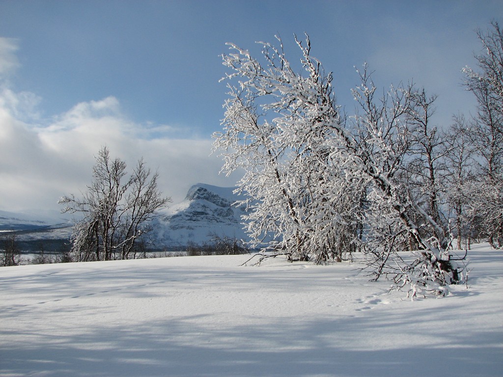
Tjahkkelij behind
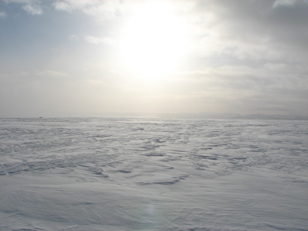
Solar haze
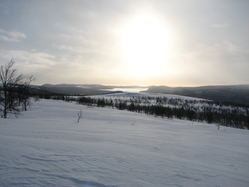
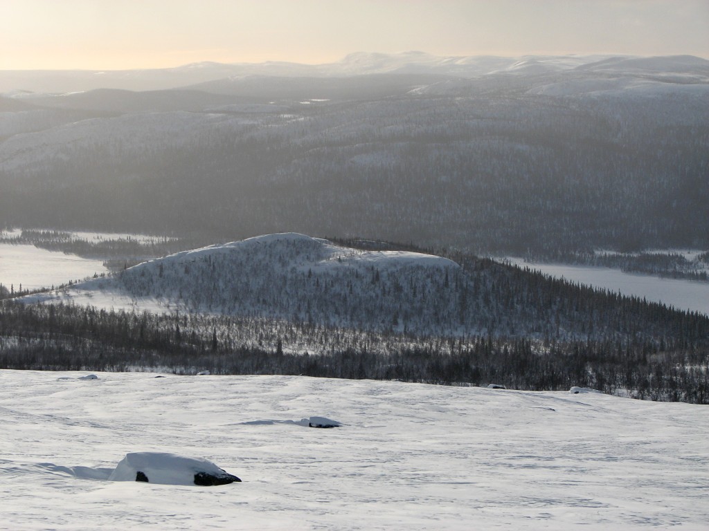
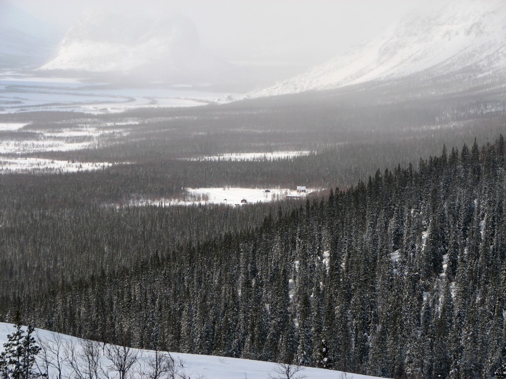
The lowlands on the other side
The somewhat higher lands on the first side
Thus I turned around, now facing the wind, but it was not that bad. Visibility had worsened somewhat, and my own tracks from just a few minutes ago had already deteriorated considerably, but the trail itself remained discernable. I cut across both bends, and during the second one I turned some more rather than going back to the trail, instead aiming for the hilltop just east of said trail at the start of the forest. Now the weather actually seemed to have picked up a bit, but there was still a lot of wind, which had also turned chilling. I put in some tentative telemark turns on my way down, coming to some crosses fixed to the uppermost trees and an old snowmobile track close by.
This was obviously the side trail that I had heard about, which the STF caretakers use when carrying heavy loads as the inclination is not as severe as out on Kungsleden. Here the wind died down and since the sun was out it was rather fair. After crossing/using some old ski tracks I proceeded straight to the bald hill, which I had come to think of as Amon Rûdh after the abode of Túrin Turambar in Beleriand with the same meaning. There I was exposed to the wind again, and after going over to the southern edge to get a terrific view of Rapadalen and the Gate I turned back to a rock in the moderate shelter of which I sat down at 11:45.
More light
Snow trees before...
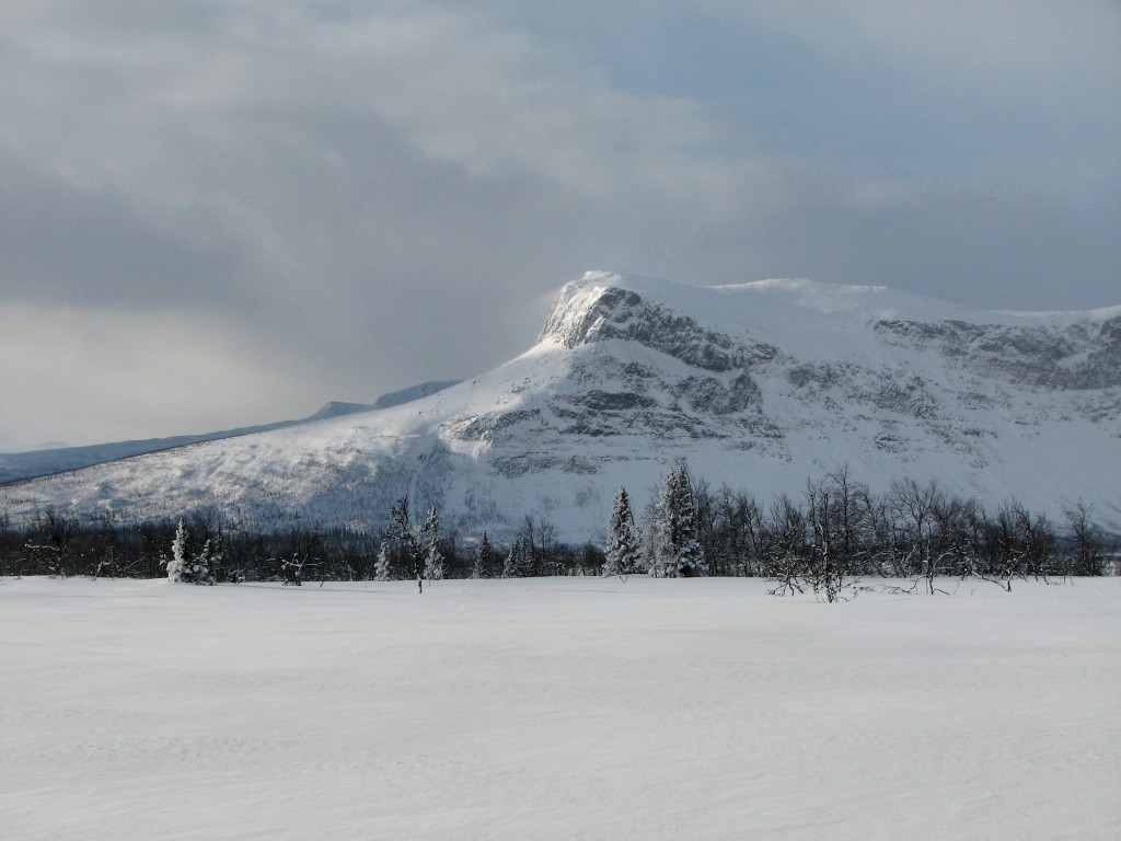
...Tjahkkelij
Amon Rûdh, the Bald Hill
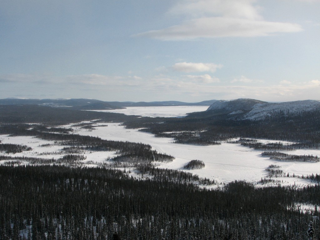
Rapadalen (with much whiteness)
Just then one of the German women was passing by just north of my position, but she did not appear to spot my presence. I put on my down vest and had lunch, during which another powerful snowy assault happened, and when I risked a glance around the back of the rock I saw nothing but white. The wind was also considerable, but I was pretty comfortable where I was. Soon thereafter Anne-Sophie also went by in the German's tracks with her two dogs, and then the airborne snow started dissipating, giving way to the sun once more. There was, however, another batch approaching from behind Nammásj, and I thought to make the most of the time before it hit.
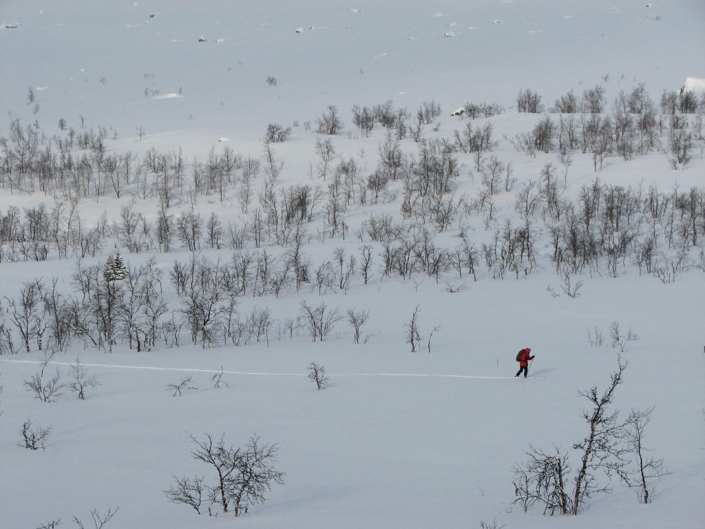
Passer-by
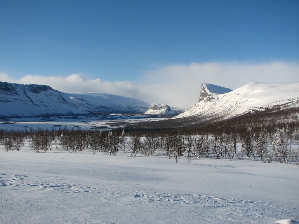
Rapadalen (with less whiteness)
Doaresoajvve above
I went down the eastern side of the hill, having some fun among the trees before landing on the side trail. This soon came out onto an open stretch of land where I broke off towards the nearby stream – and just then the German woman came from further upstream. She had been searching for a snow bridge for a while, as she knew from experience that there usually is one, but so far no luck; the stream was open for the most part, so one was clearly needed in order to get across. This I wanted to do, so we teamed up, and after a while we located a promising spot some distance down, and she proceeded to fortify the natural structure with more snow, packing it with her skis. Thus we managed to cross, and on the other side I took the lead through the low but somewhat dense forest, making fresh tracks in the ankle-deep fluff.
When I later started ascending the hill marked 711 on the map we split up, with her turning around and aiming up the slope. Myself I found the ascent less than straightforward, due to the presence of trees and deep snow all the way to the top, but it went alright. Up there I could see the snowfall in progress further west, but other than that the sky was all blue.
Fair
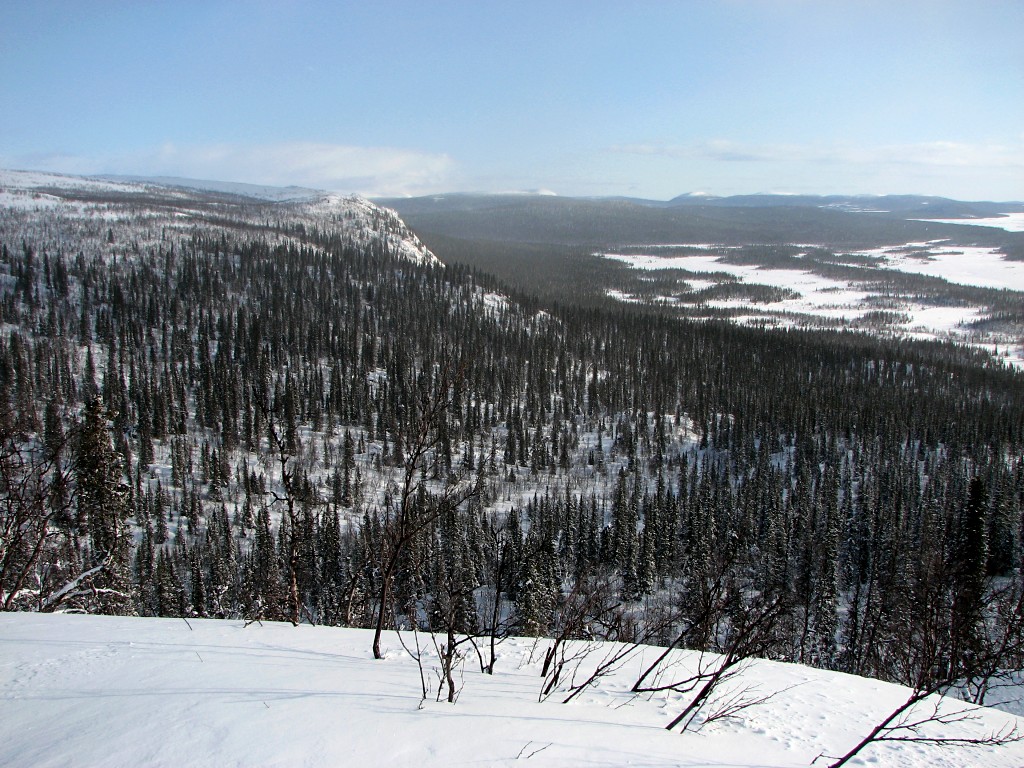
Deep forests to the east
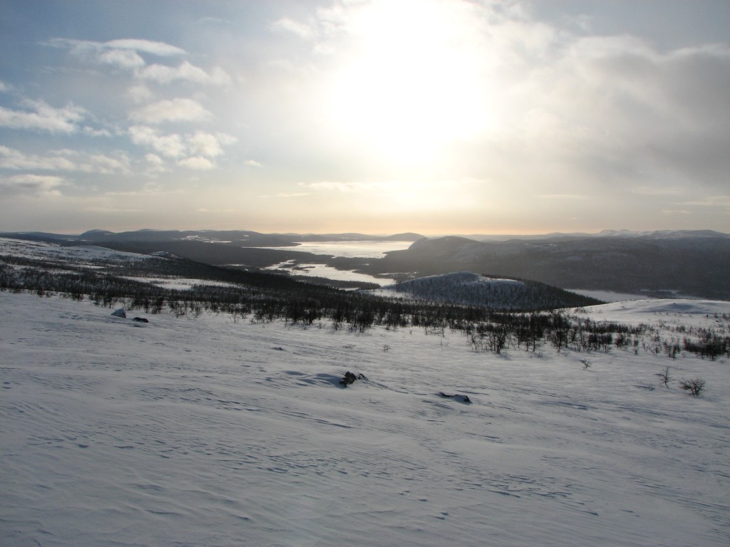
Guolleluoppal and Tjaktjajávrre
Aktse
I waited for a while to see what would come of it, and then made my way down to a crest of red stone west of the summit where I took another break. I then continued down first southwards, then westwards, and finally southwestwards, finding the dense coniferous forest challenging. Shortly I arrived at the ravine of the open stream, and since it was obviously impassable I followed its edge downwards.
This was not entirely easy at times, but after a while the ravine started levelling out, but this was coupled with an increased steepness in the remaining edges. In any event I managed to find another usable snow bridge, which was hard but narrow, and safely passed the stream after a somewhat less than graceful descent. Once on the other side I held a slanting downward course, crossing a number of large animal tracks, and when I came upon an old set of ski tracks I followed them. Eventually I came out on the side trail just above where it broke off from the Sitoälvsbron trail, which I followed all the way back to Aktse, stopping outside my cottage at 14:15.
The ravine...
...of the forest stream
Hallmark
« Return to Aktse report