Thursday 26/2
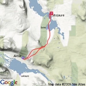
Sitojaure
| Horizontal distance: | 27.5 km |
| Vertical distance: | -40 m, +400 m, -300 m, +300 m, -400 m, +40 m |
| Time: | 7 h |
| Lunch break: | 2 h |
| Dinner: | – |
| Night accommodation: | – |
| Stage classification: | Medium |
| Map point: | Sitojaure |
The trail up the slope was wide and pretty good, and grip wasn't bad either. Above the forest some wind made itself known, and it had already done so on the ground, which bore no traces of skis or motorized vehicles. Up on the flat portion there was a wee bit of weak sunlight; the southeast held high clouds, whereas it was mostly blue in the other direction. Having reached the crest where I turned around two days earlier I went out a bit to the left at first, and then to the right; here the snow was very hard, and I had to be careful in the beginning, but then I could have some fun before the forest.
A creeping cloud was forming far away to the north, but in over Sarek it remained fair. In the forest the snow was soft and the snowmobile trail untouched – and there were also fox tracks here and there. I noted the passage of a police helicopter overhead, going northwards, and then I came to Gåbddåjávrre where the trail was marked by wooden sticks; in summer one goes by boat through the Gálmme strait but in winter the ice is weak there, so instead the trail crossed the mires around the outflows of Ábbmojåhkå. Here the snow was hard again, and I mostly skied along the edge of the track.
Having reached Gasskajávrre I immediately broke off in a straight line towards the cottage site – the trail went in a wide curve over the lake. At first this turned out to be quite a bad choice, as the snow broke beneath my skis all the time, but after passing a little isle conditions improved. I could also see the dangerous ice off to my right, but my route never took me close enough for concern. The time was not yet 11:45 when I skied up to the warden's cottage, where Lars the warden guessed my identity at once.
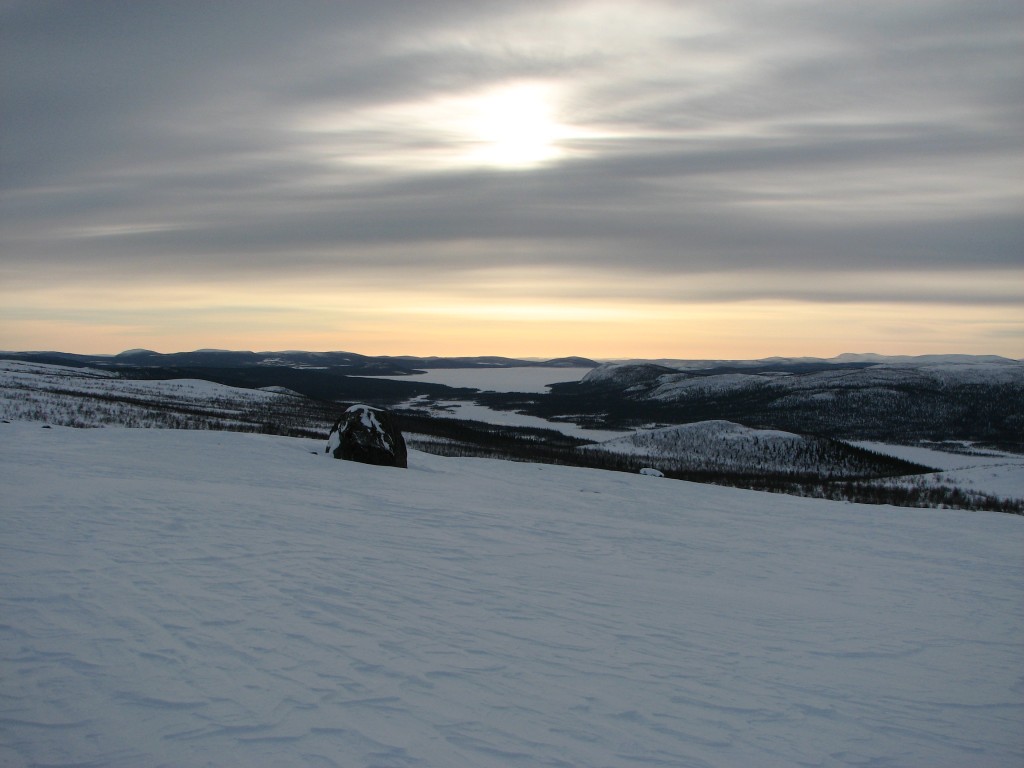
Eastern light
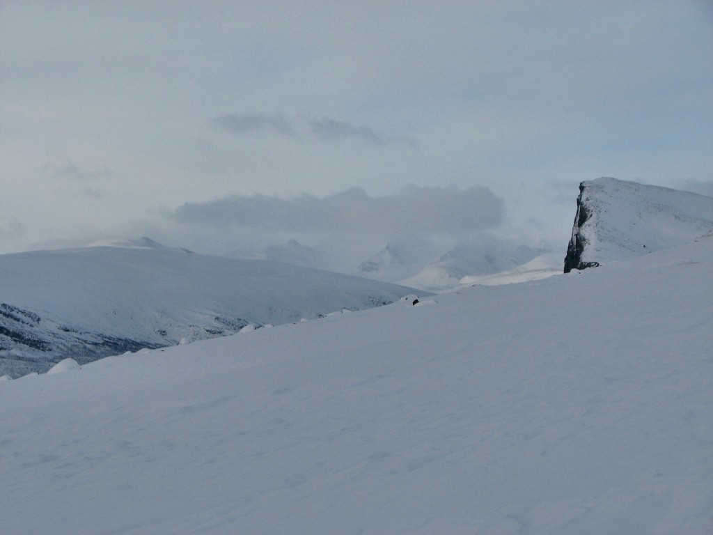
Western clouds
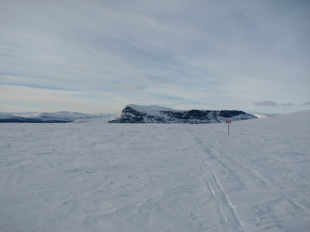
Tjahkkelij sinking
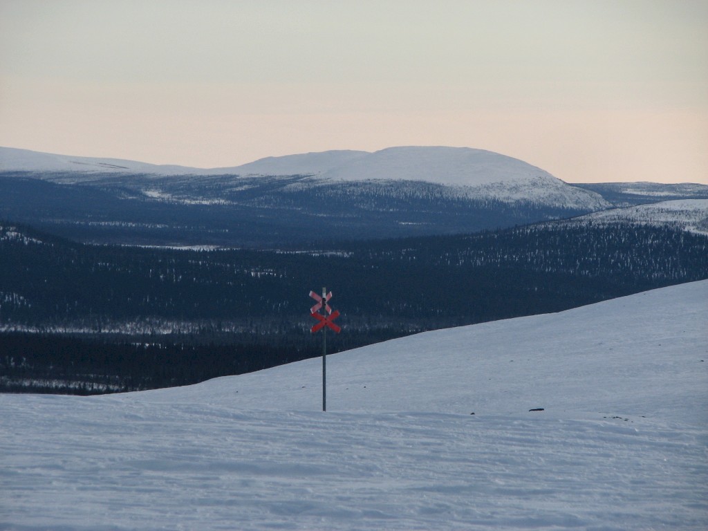
Descent starting
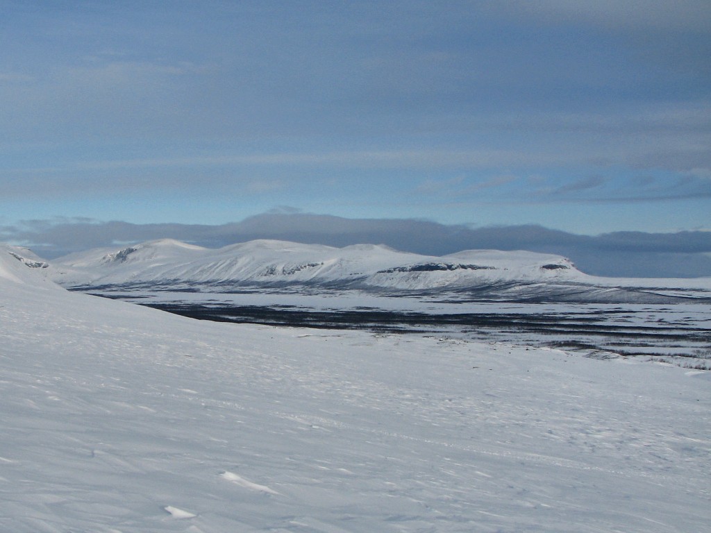
Sijddojávrre
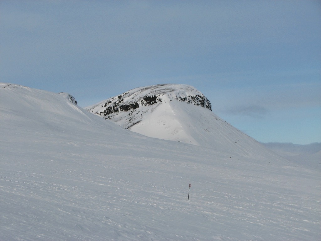
Mártevárásj
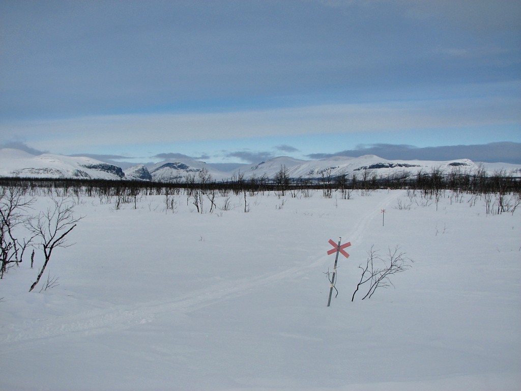
Descent ending
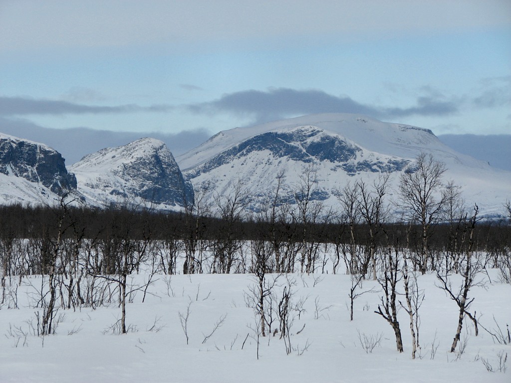
Tjålebákte and Bivtjabákte
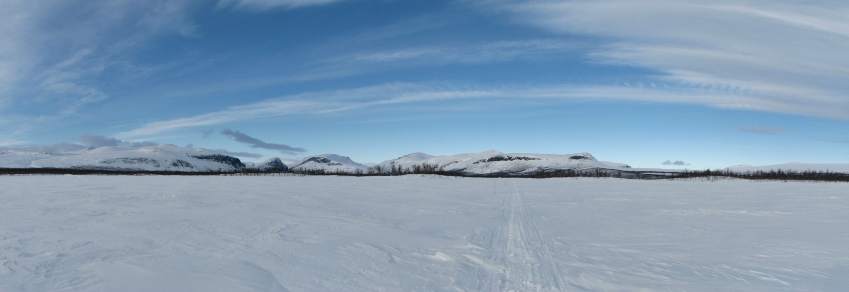
Panorama northwestwards
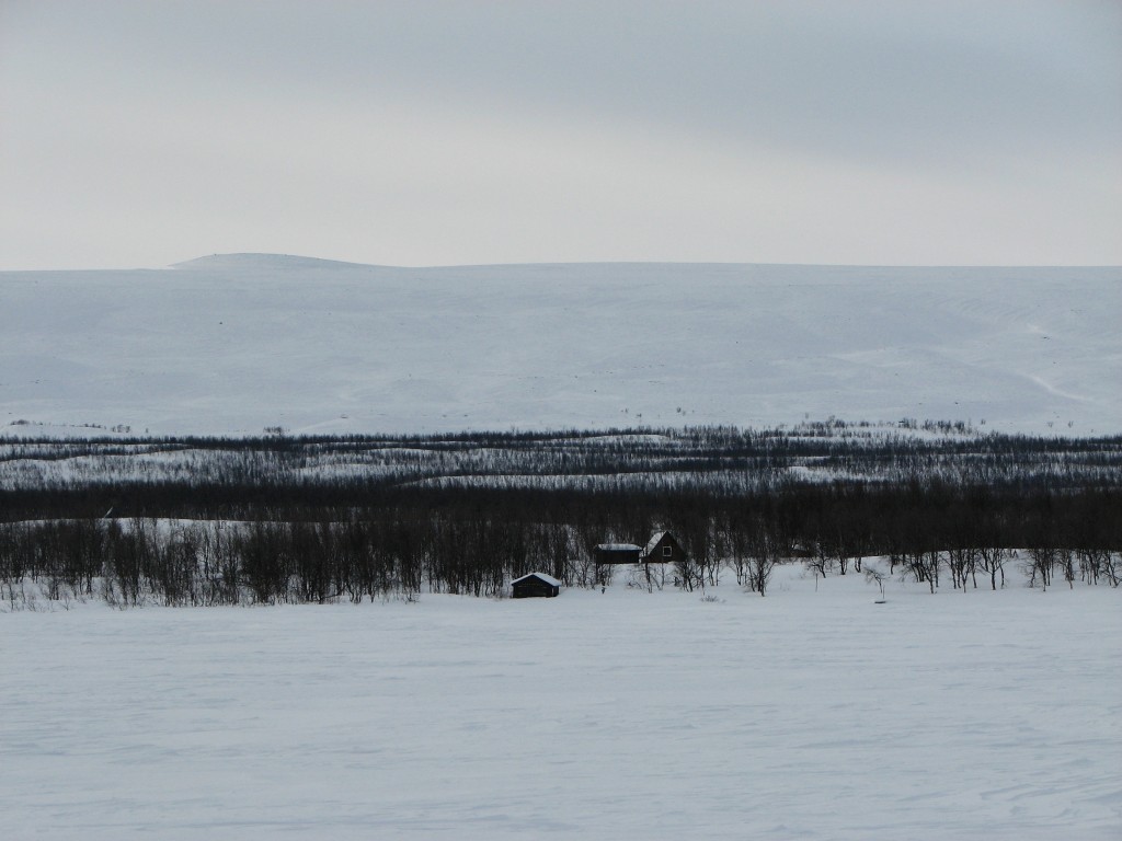
The Svine shelter
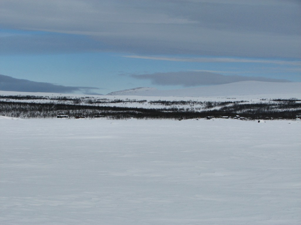
The Sitojaure cottages beside the Vággevárásj Sámi encampment
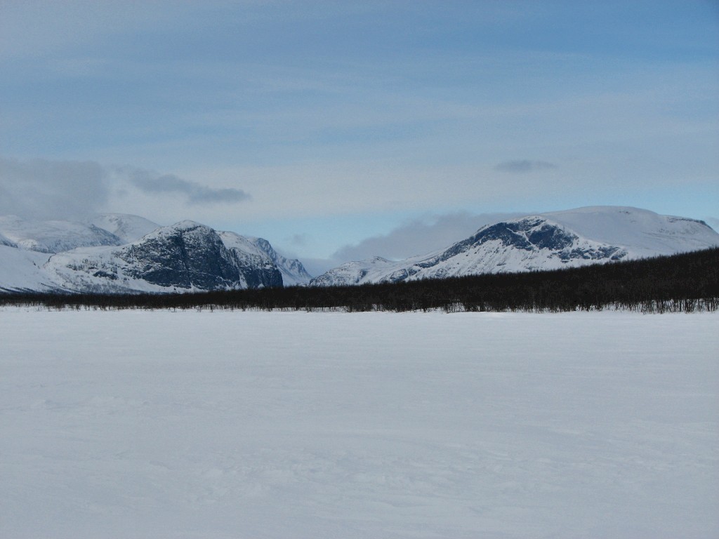
Sarek over there
We spoke some outside, and I finally got to hand over a batch of newspapers I had had in my care for quite some time – Sture had dropped them off when he came with the goods, but since then I had had no visitors that could bring them northwards, so I had to do it myself... We then went inside and I had my lunch while we talked; apparently that police helicopter had some connection with a (near-)future installation of an assistance phone in Aktse – there used to be a regular landline there, but after being destroyed in a recent storm it was scrapped rather than rebuilt.
Outside it was clearing partially and slowly, with the sunlight growing. Lars had not had any overnight guests at all either, and since he had been out for a week longer than I he was obviously even worse off in that regard. After a while he insisted that I share a can of meat soup and some cheese sandwiches with him, and then he returned to his self-imposed task in the woodshed. I followed to check it out, and found that the building was basically identical to the one I resided in. Having said goodbye I then left after 13:30, in a weak but noticeable wind.
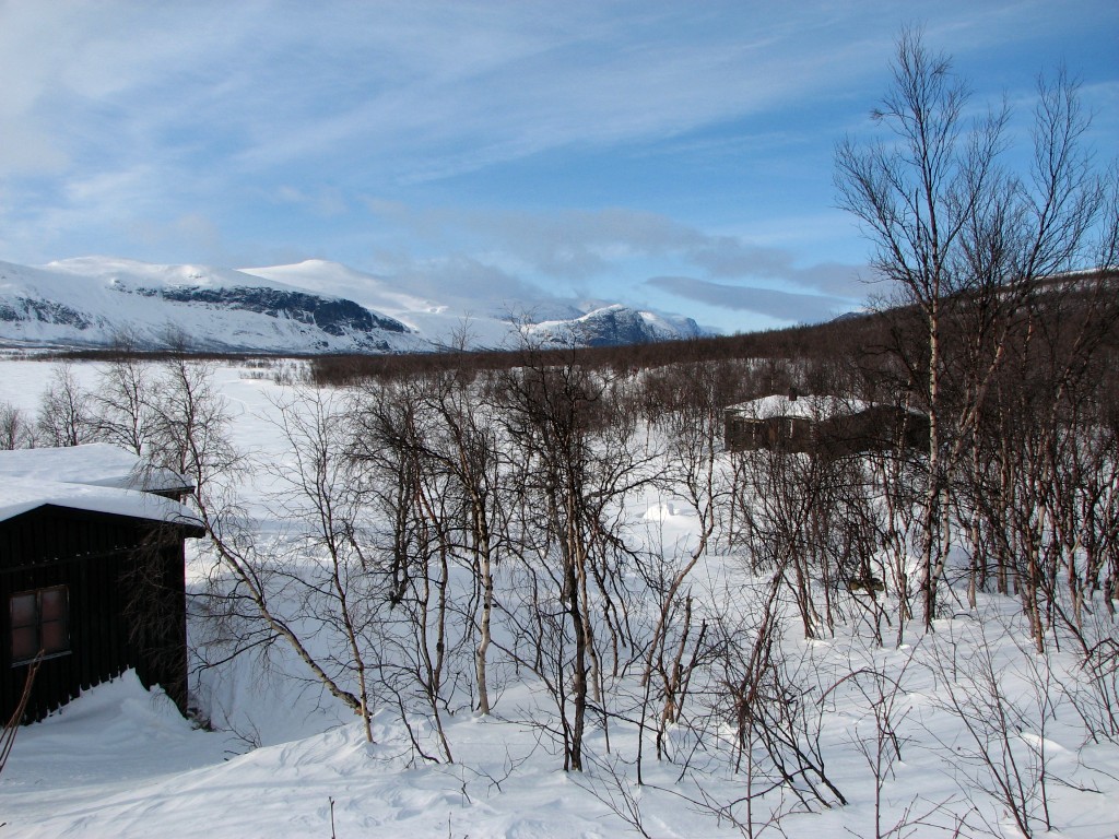
The guest cottage
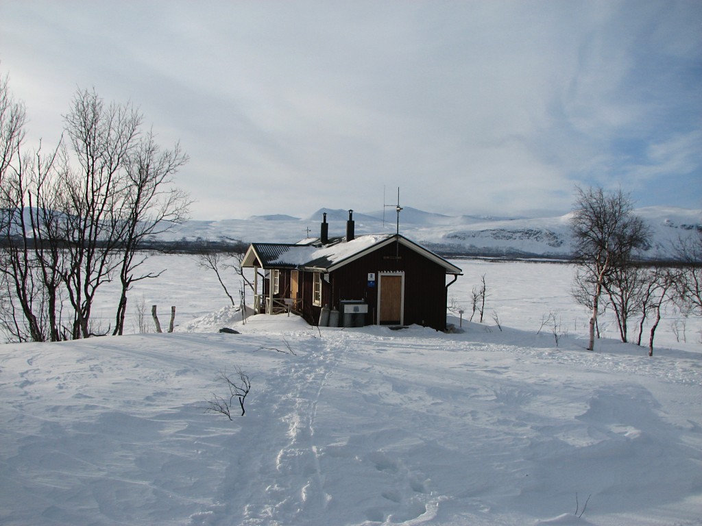
The warden's cottage
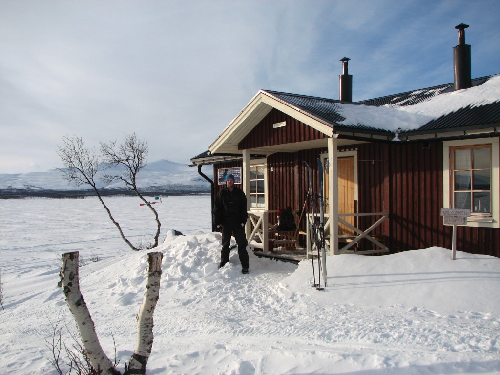
Scribe
This time I followed the curved trail, which was good all the way. The wind had died down almost at once, but after Gåbddåjávrre it returned for a while. The forest track provided excellent grip, and I made good speed upwards. Halfway up the hard slope I took a break, and here there was a cold wind blowing; just then the sun started breaking through as well. As soon as I could see the peak of Tjahkkelij I aimed straight for it, but I had to turn up slightly after a bit to get around a hollow. My hands were now getting cold as a direct result of the wind, and before reaching the trees on the other side I stopped to change gloves.
I was now heading for Amon Rûdh, on the top of which I paused for some admiring and photographing of the view, which still held drifting clouds further up the valley. I then went due west, turning a bit in among the trees, and landed on the trail just above the first spruces. The track was soft and gave some fun albeit somewhat reckless runs at first, but when the edges suddely grew high I had to breach them and go into the deep snow on the side to control my velocity. In this fashion I made my way down, and towards the end my speed was respectable. On the Aktse field I noted the tracks of both a snowmobile and a reindeer that had been up to the cottages, where I myself arrived just after 16.
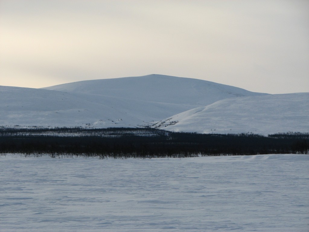
Bassoajvve
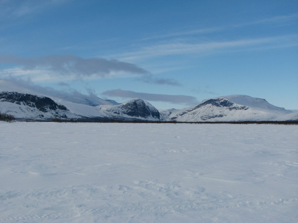
Tjålebákte and Bivtjabákte again
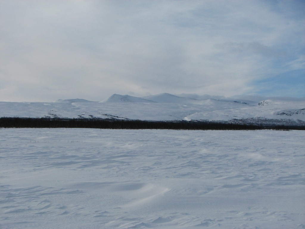
Niehter
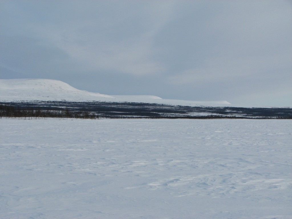
Levels
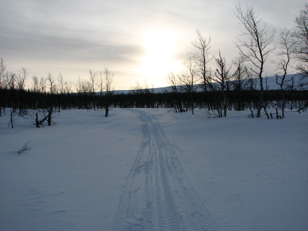
The sun still weak
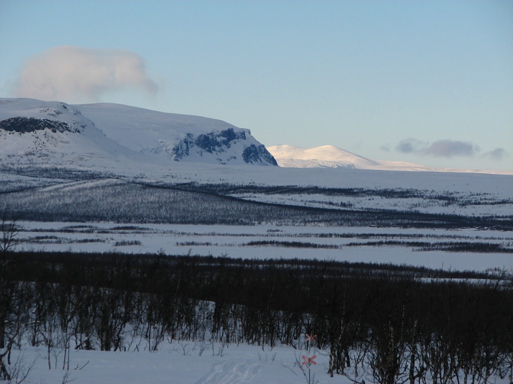
Lighter to the north
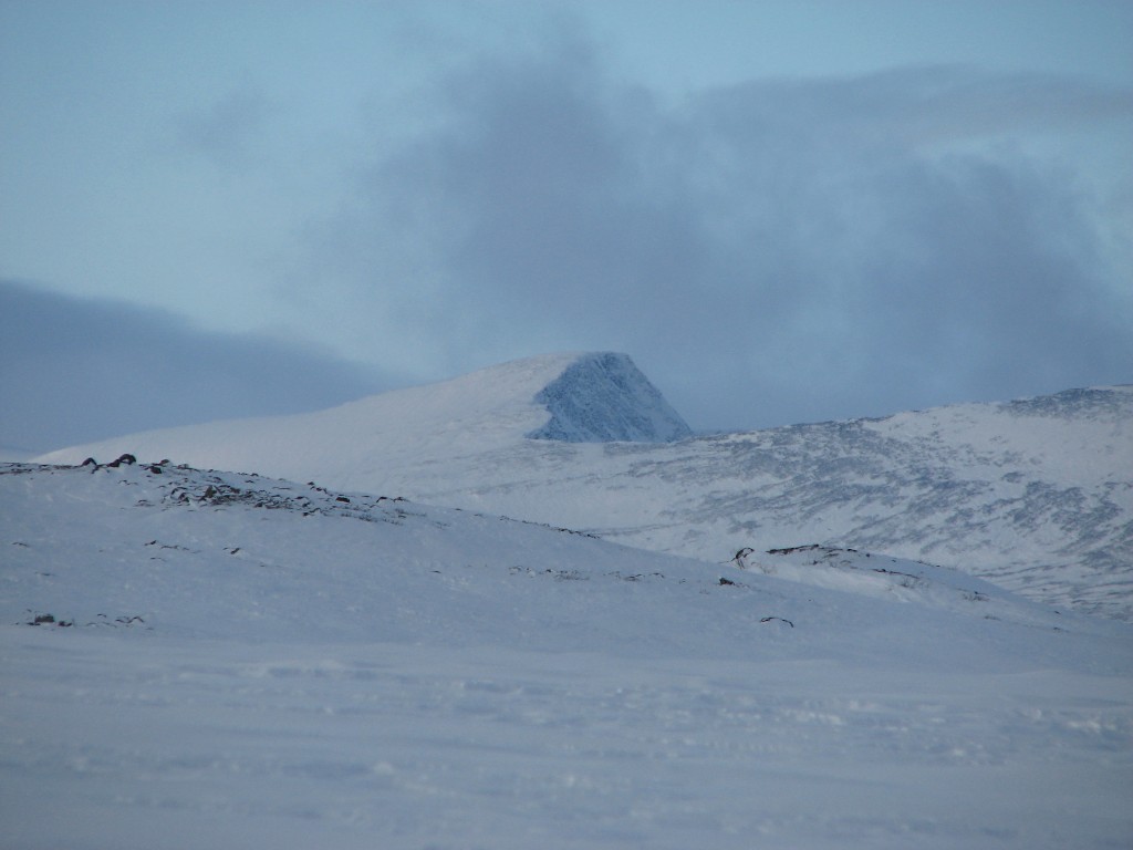
Vássjábákte
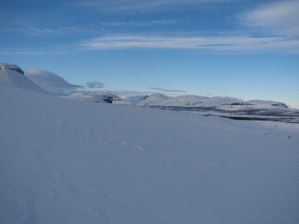
Ascent starting
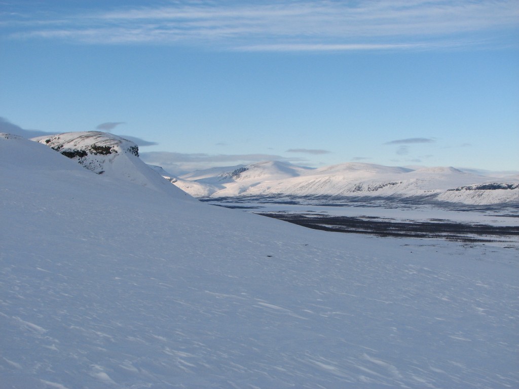
More of Sijddojávrre
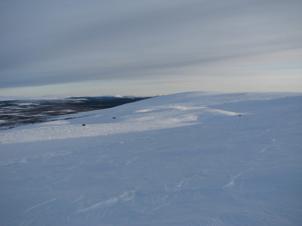
Eastwards
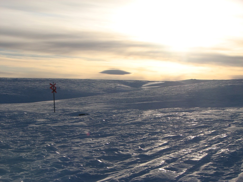
A bit more light
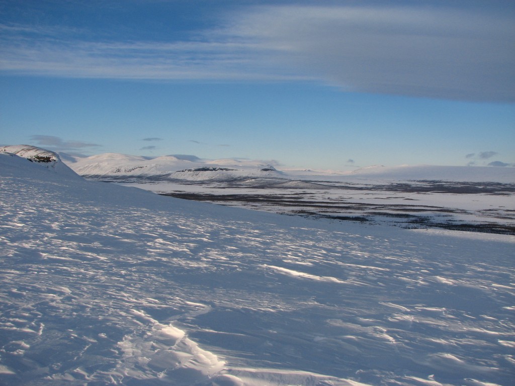
Ávtsusjvágge behind me
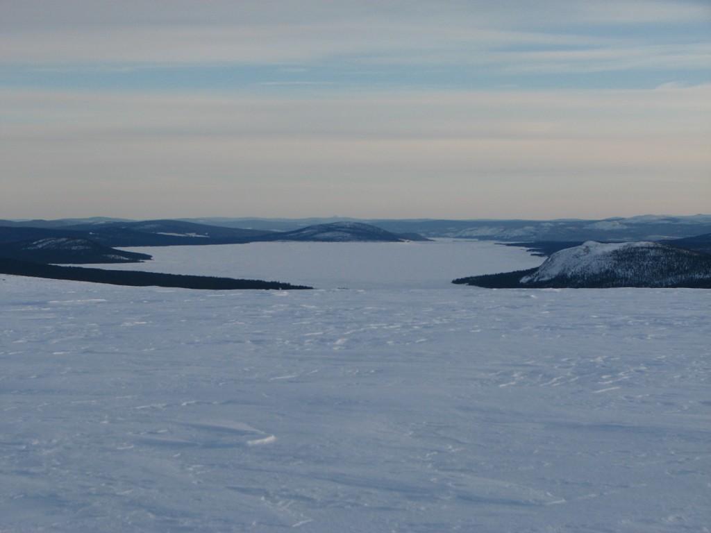
Lower Tjaktjajávrre
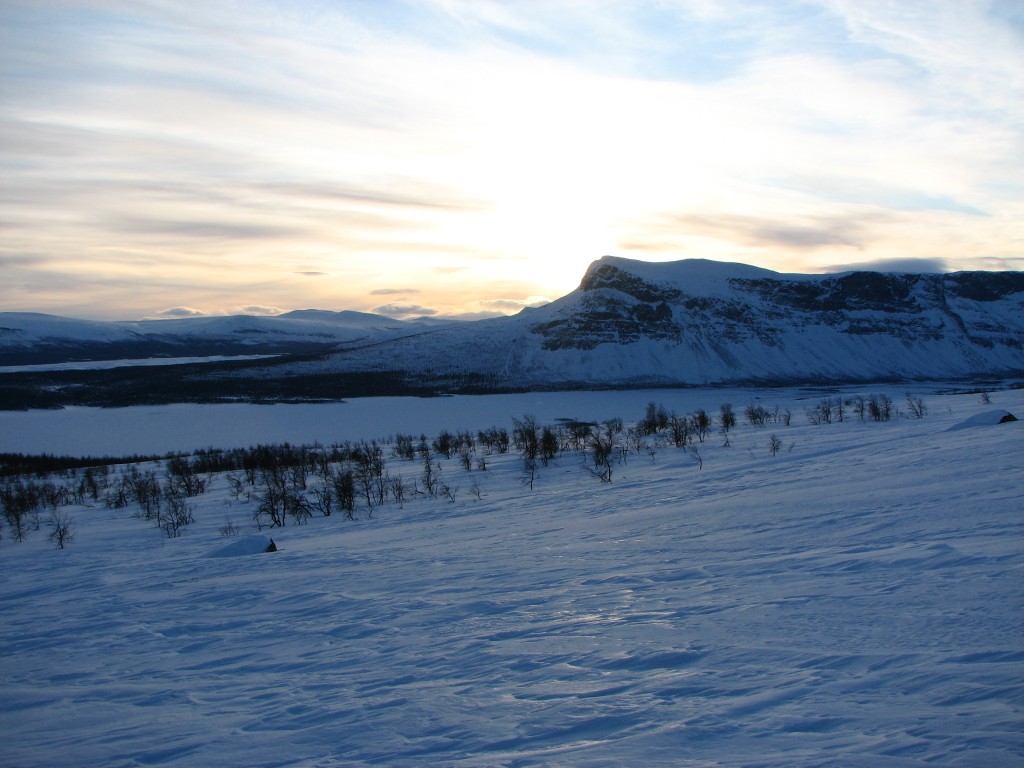
Going to Amon Rûdh
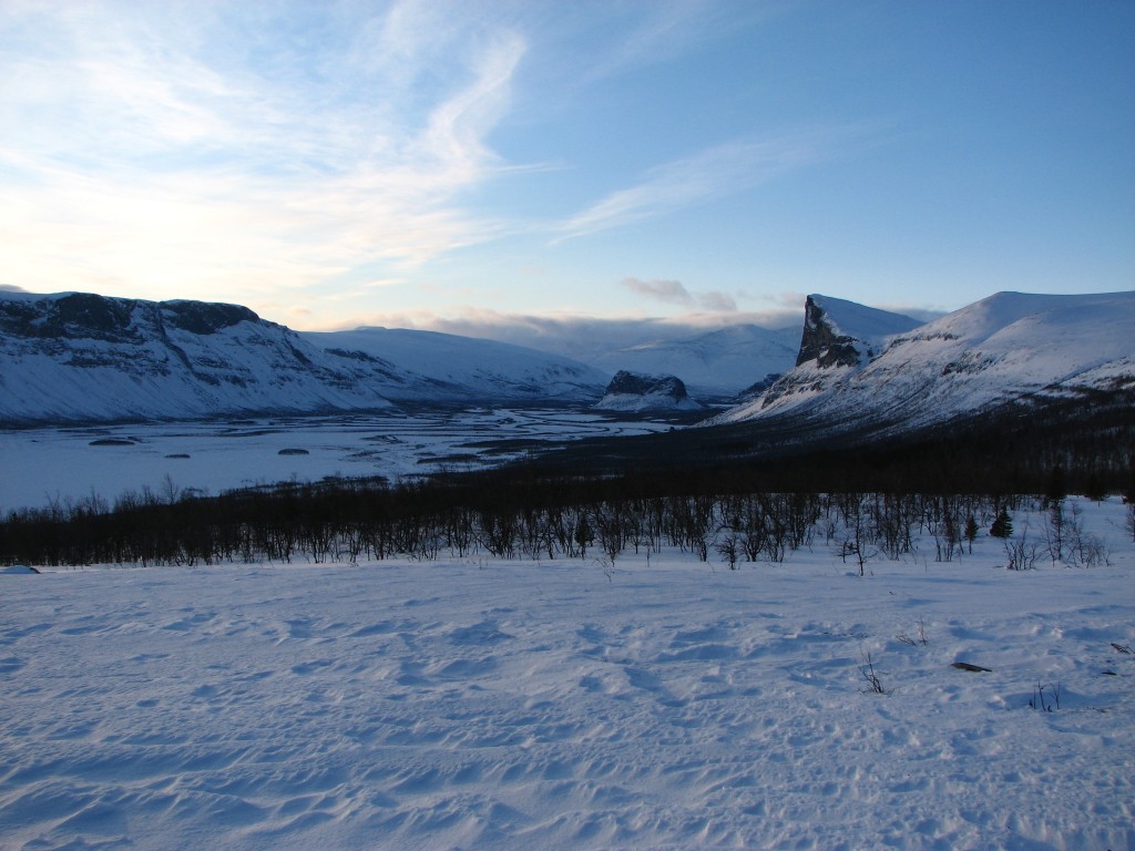
Rapadalen from Amon Rûdh
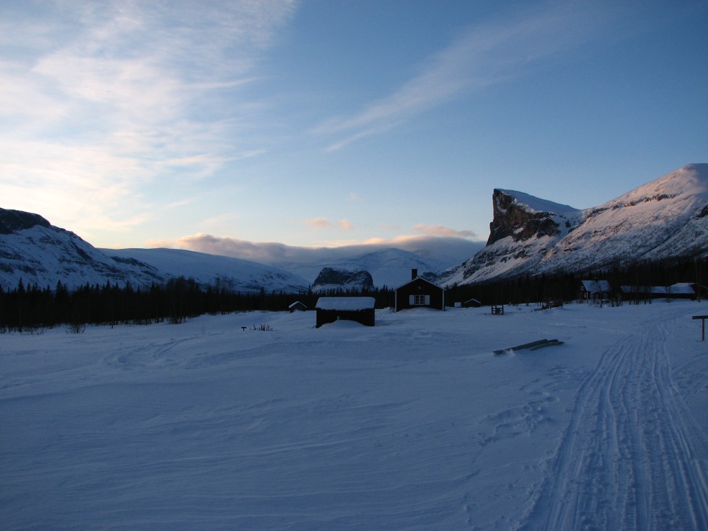
Return
« Return to Aktse report