Saturday 23/6
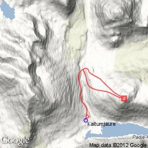
Leaibečeabetčohkka
| Horizontal distance: | 13 km |
| Vertical distance: | +680 m, -680 m |
| Time: | 6 h |
| Lunch break: | 2 h |
| Dinner: | – |
| Night accommodation: | – |
| Stage classification: | Medium |
I walked briskly along the trail, with the very white peaks around Čeakčačohkka before my eyes as the trees cleared. Even though the buds had barely broken it was nice walking, and on the other side of the bridge the trees were mostly bare still. I continued along the trail about halfway up the slope, and then broke off, passing the old cairns I had seen earlier, noting that there was no path between them. The ground consisted of pleasant heath, but a bit further up it gave way to low shrubs, and I adjusted my heading accordingly.
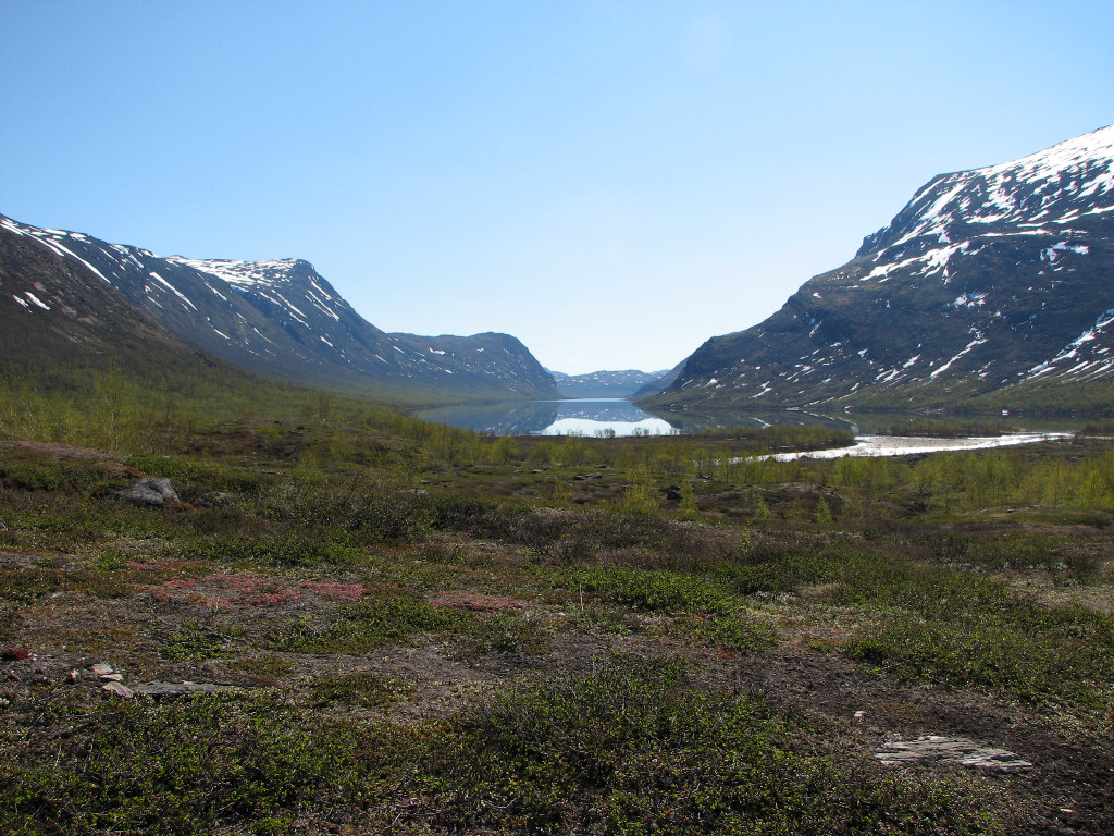
Calm lake
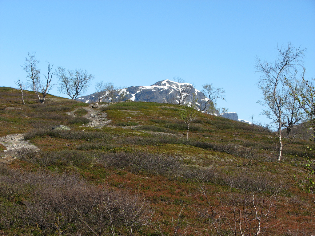
Stuor Avrrik rising
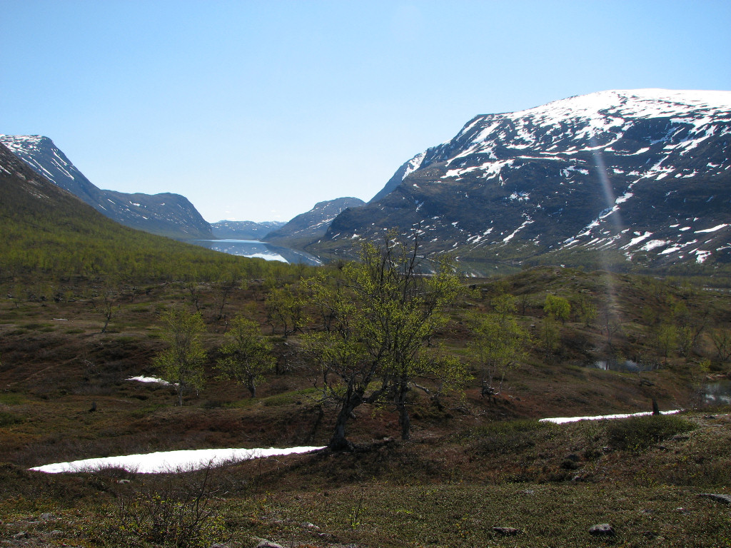
Green

Less green
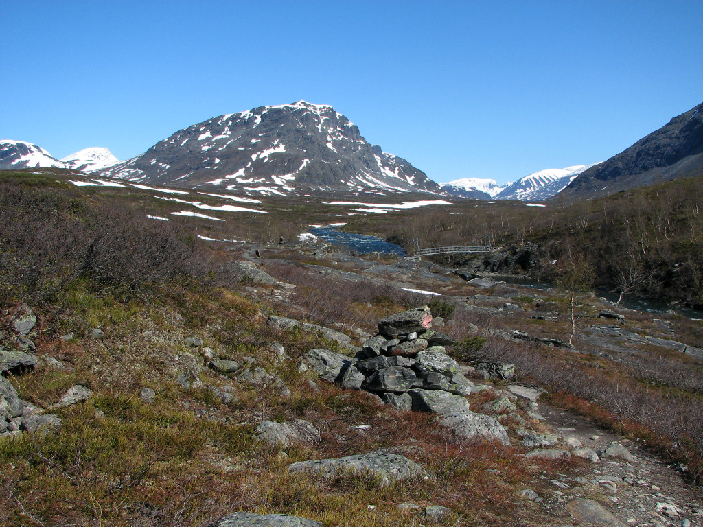
At the bridge
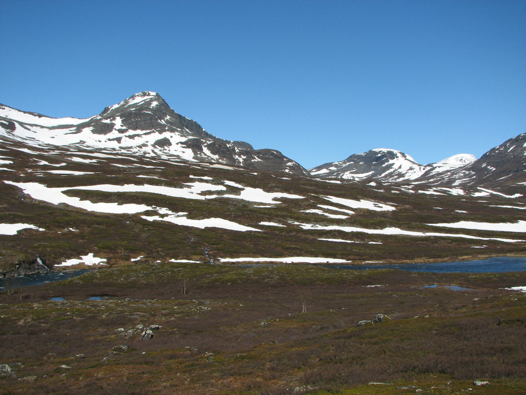
The entrance to Sáŋarvággi
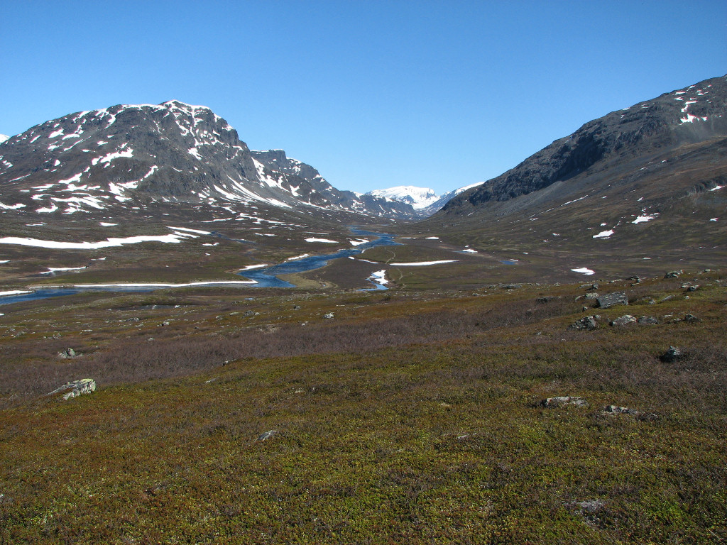
Čeakčavággi north

Low flowers
After filling my water flask in a small brook – the last opportunity to do so – I aimed straight for the westernmost summit, and now the ground was stonier. The vista northwards, up Čeakčavággi, had grown as I ascended, but then it was concealed more and more by the imposing presence of Stuor-Jiertá. In the other direction a long line of Sarek peaks sat on the horizon, shining brilliantly white. Snowfields lay in the way higher up, and the light was strong enough that I put on my sunglasses. It was warm at first, but the higher I got the more noticeable the wind became. I saw the top cairn from quite some distance away, large and crowned by a cross as it was, and it took me a while to get there. The last bit up consisted of flat rocks that were very easy to walk upon, and then I reached the top around 11:30...
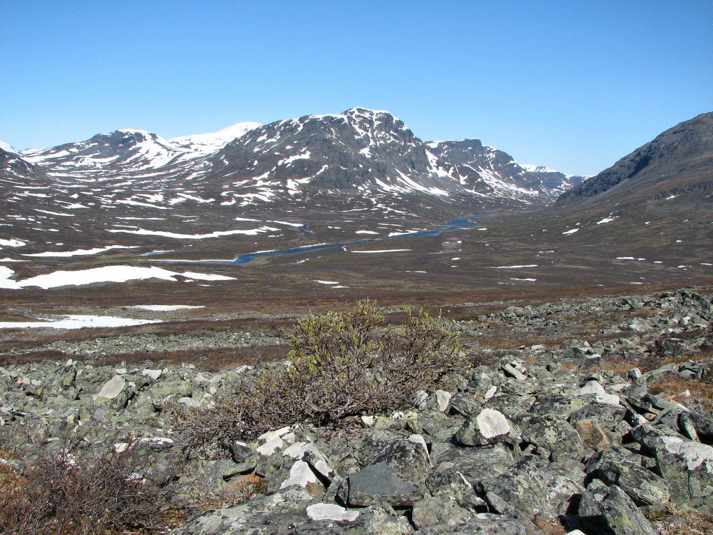
Higher
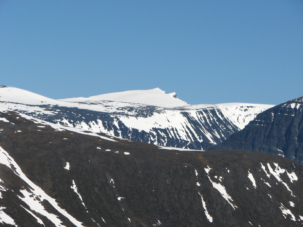
Giebmegáisi
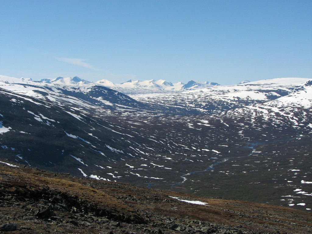
Sarek to the south
...and was immediately struck by the grandeur and suddenness of the view down the other side, which up until then there had been no hints of due to my angle of approach. This is an effect I often seek to create, and was very pleased with the results this time. The valley was mostly green, and across Bajip Gáidumjávri the shapes of Livamčohkka and Suorregáisi were surprisingly striking. I could see quite far down the lake system, over the lowlands, and to the north the Twin Peaks of Giebmegáisi towered white against the sky; in my binoculars I could see tracks in the snow, and a group of people following them.
The wind was considerable, so I put on clothes as I sat down to eat, enjoying the perfect day to the fullest. Walking around I spotted a canister hidden away in the top cairn, and as expected it contained a summit book. Apparently this summit is not frequently visited, for the last entry was from 2007. I tried using my mobile phone, and at first it did get a signal, but then lost it again. No matter.
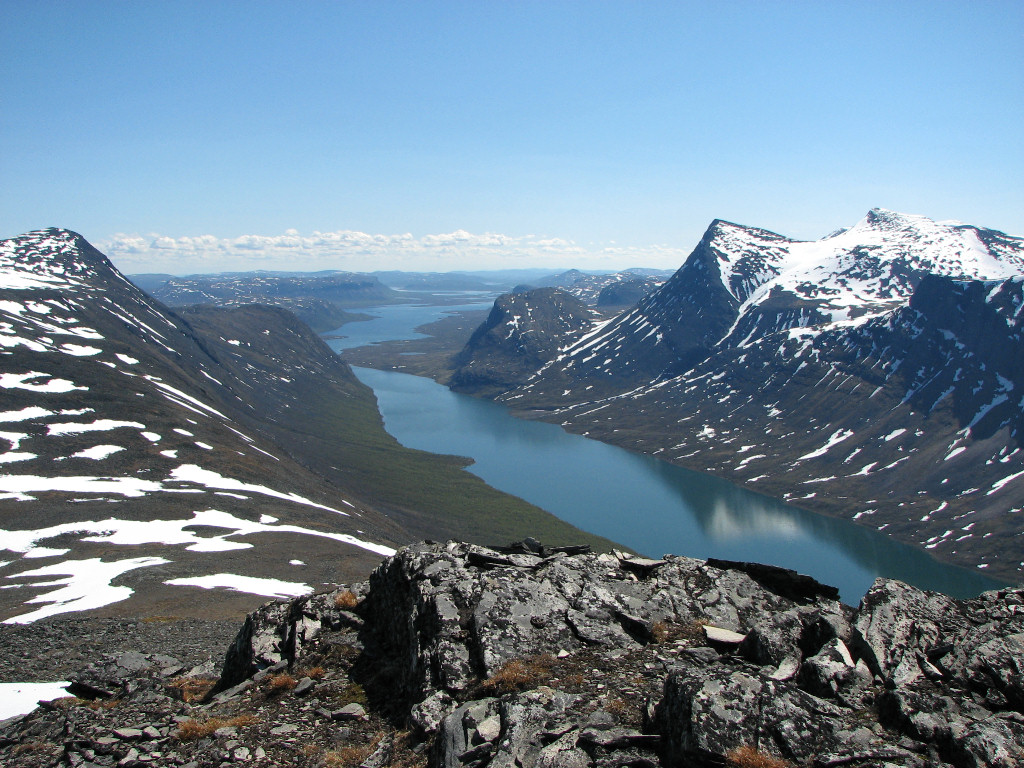
View from the top: east...
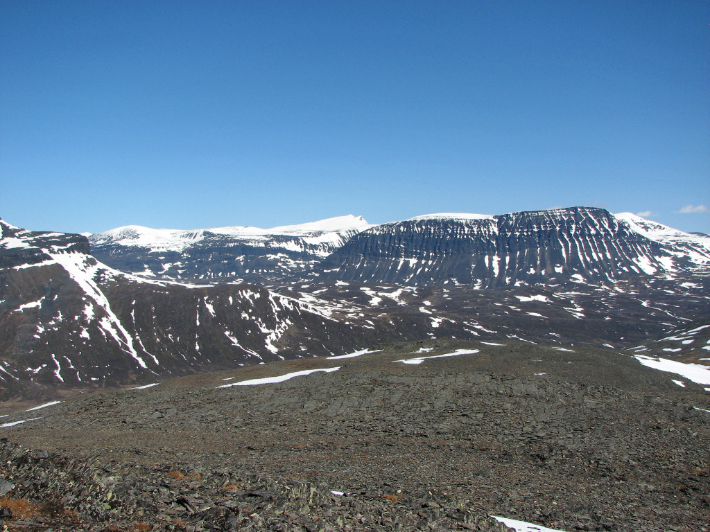
...northeast...
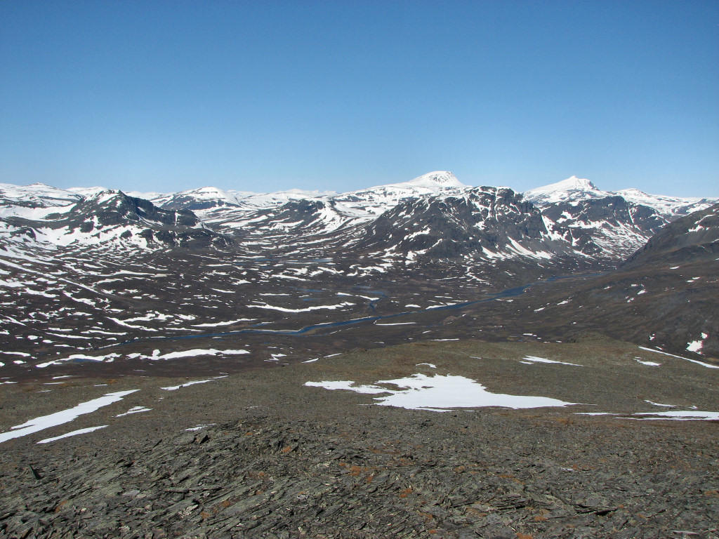
...northwest...
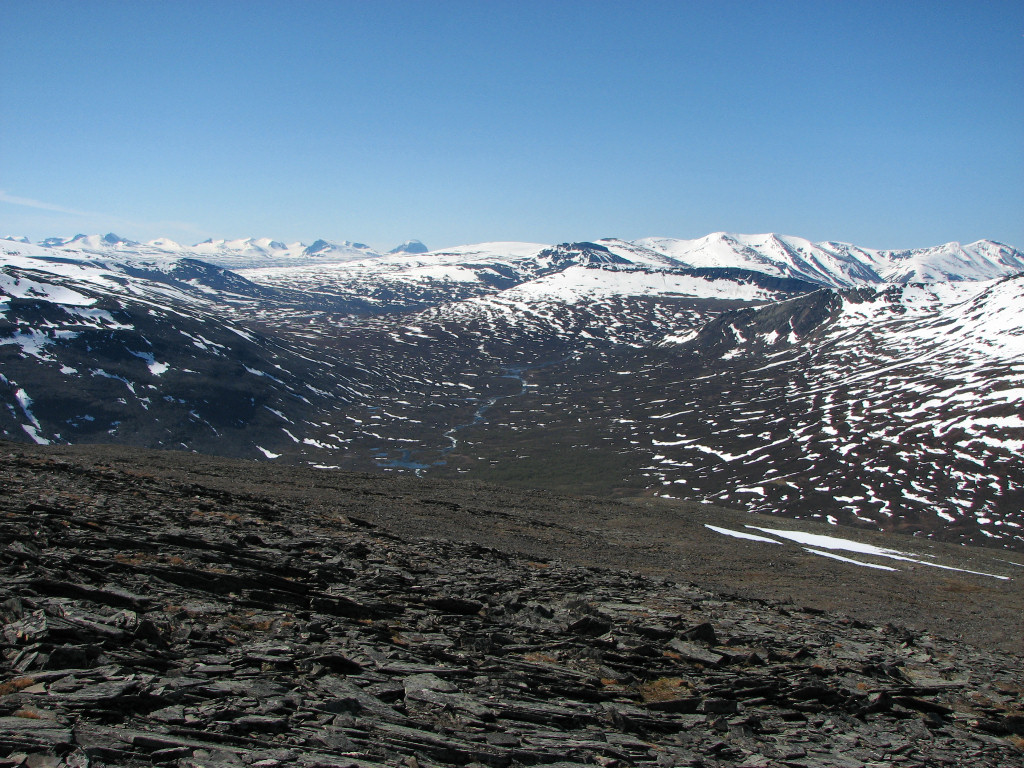
...and southwest
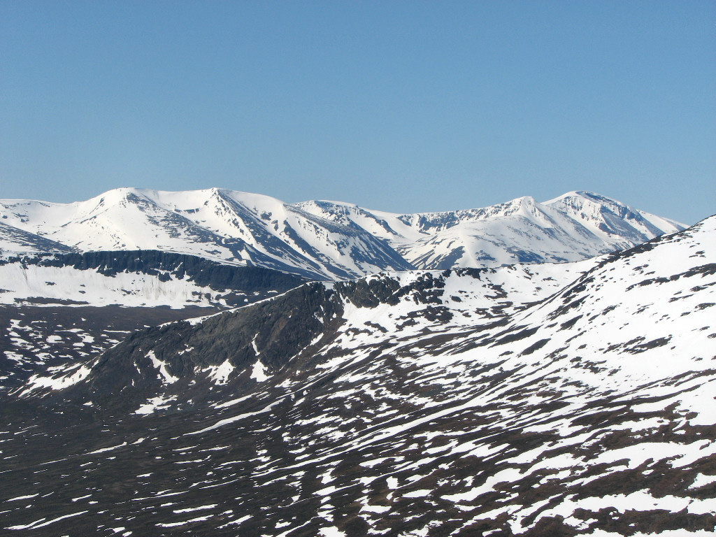
Wintery Gállaktjåhkkå
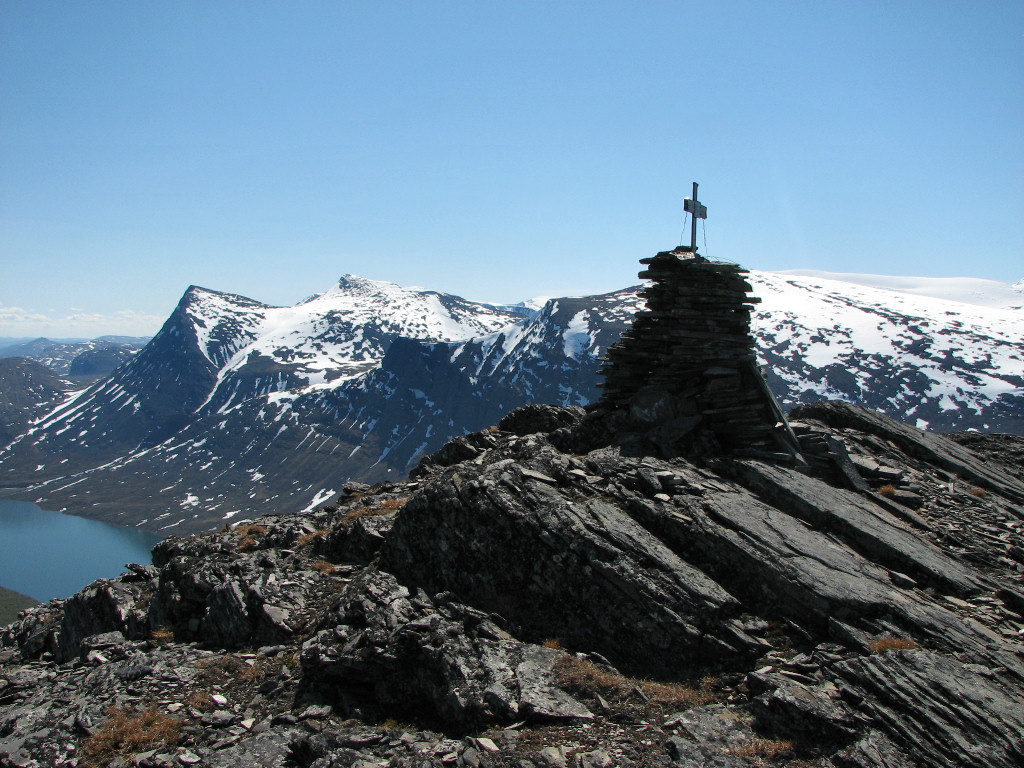
Cairn+cross
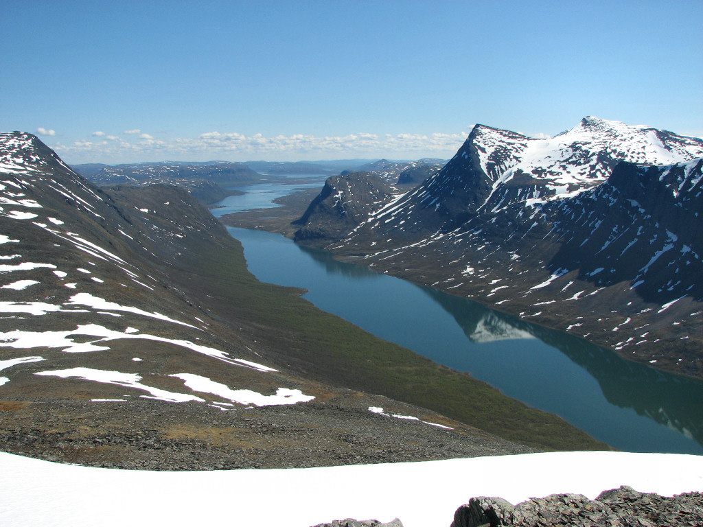
Lake system
At last I saw fit to start the descent so as to meet my posted return time without having to hurry, and did so wearing the wind jacket. I walked carefully but quickly over the flat rocks, heading due west this time, and after crossing a few snowfields and areas of larger stones I came out onto perfect heathland. I caught sight of the cottages momentarily – they are hidden from the summit – and then started turning north in a wide arc. The wind was now back to weak, so I removed the jacket and headed for the bridge in a mostly straight line. Closer to a rise just above that construction more low shrubs and the like started appearing, but progress was easy for the most part. I kept above the forest, only going through the uppermost parts at the end, coming out onto the trail just below where I had left it earlier.
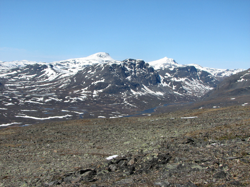
Stony
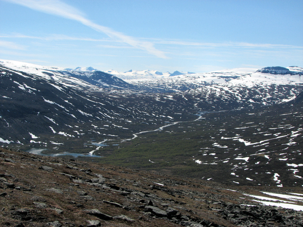
Gáidumjohka and Sarek
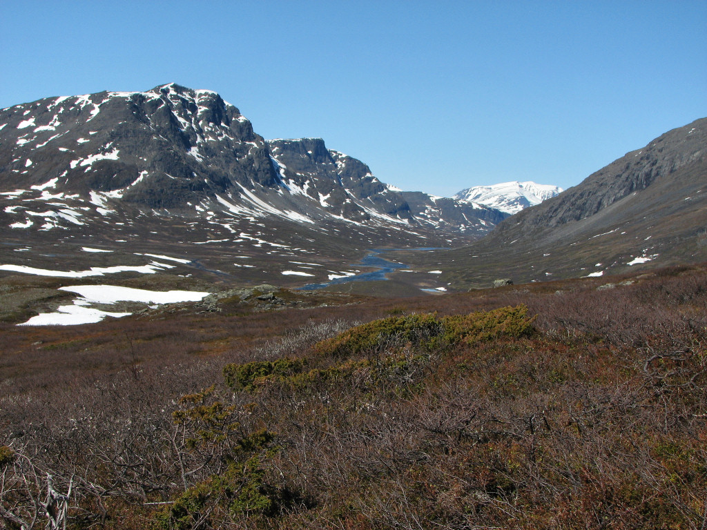
Lower
Checking the time I found it to be well on the safe side, so I walked calmly upon the trail. A few patches of snow still lay on the path, and I discerned no footprints other than my own in them, so it did not look like any visitors had come from the north at least. As the first trees started appearing I noted an increase in "summery feeling", and as the valley sprawled out this feeling grew. I left the trail when I came out above the forest, going over the first rise and up onto the next one lining Čeakčajohka. After looking things over for a while I went straight out to the trail again, following a smaller path, and returned home around 15:30, being cooled by a fair bit of wind at the end.
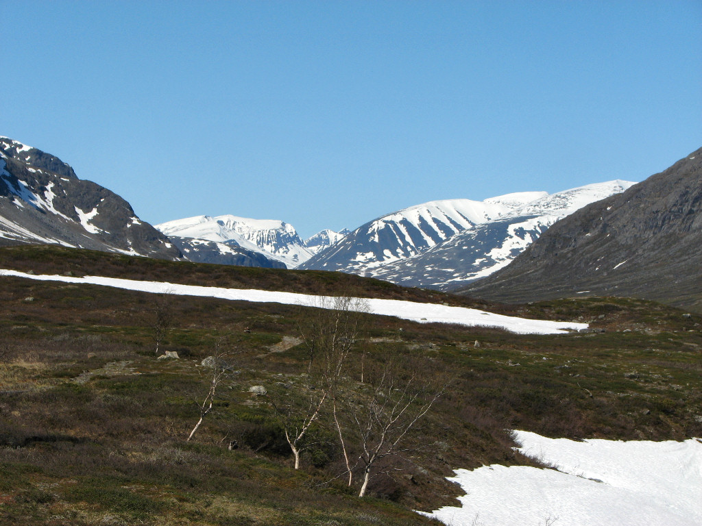
Snowclad peaks
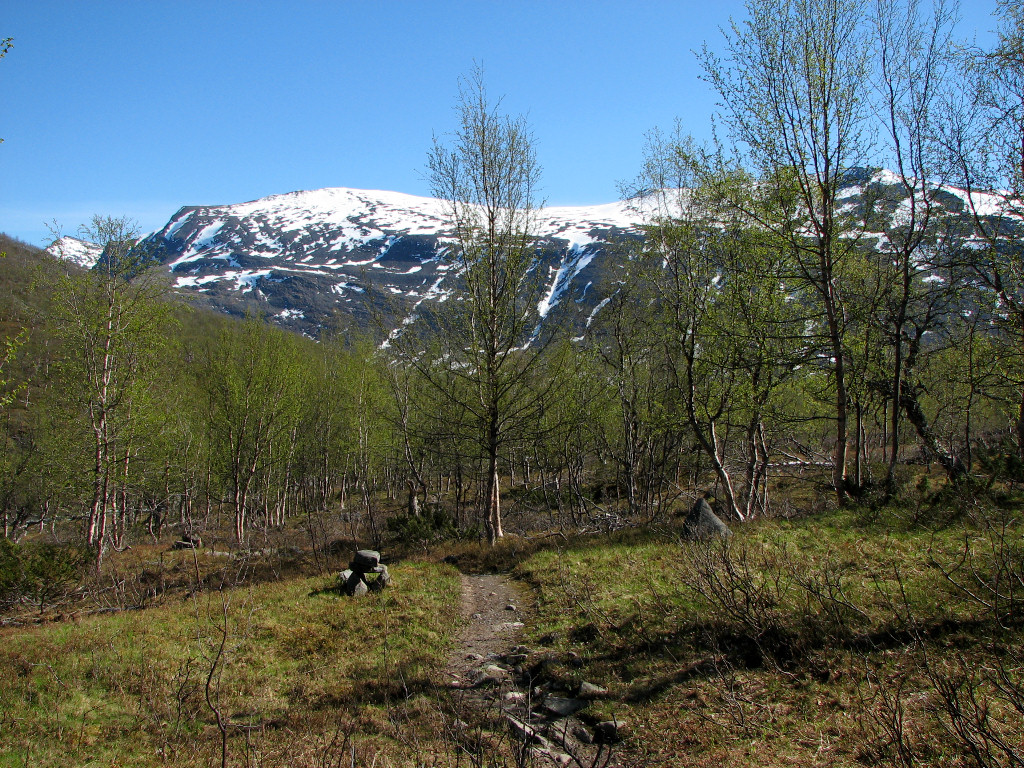
Back to verdure
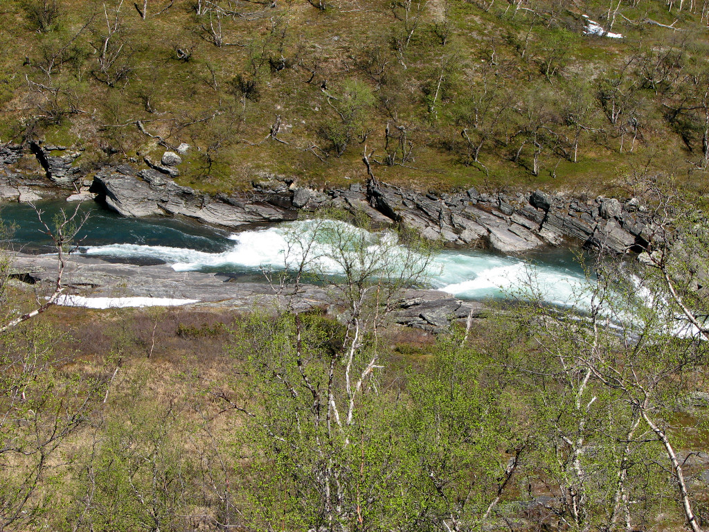
Green Čeakčajohka
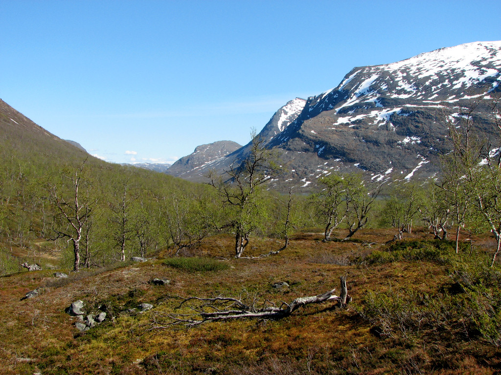
Into the valley
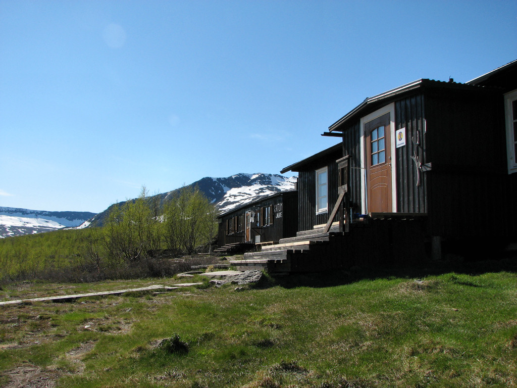
Green green grass of home
« Return to Kaitumjaure report