Wednesday 4/8
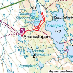
Sönner-Långtjärnen
| Horizontal distance: | 5.5 km |
| Vertical distance: | -60 m, +60 m |
| Time: | 5 h |
| Lunch break: | 30 min |
| Dinner: | – |
| Night accommodation: | – |
| Stage classification: | Easy |
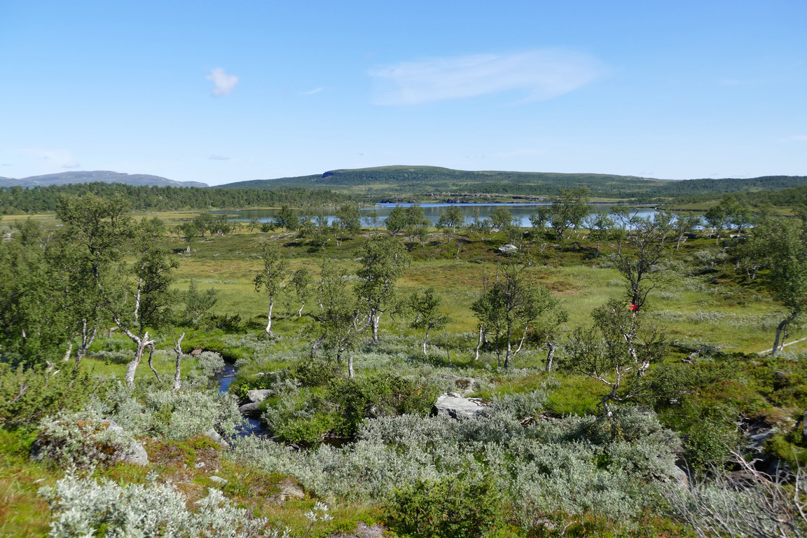
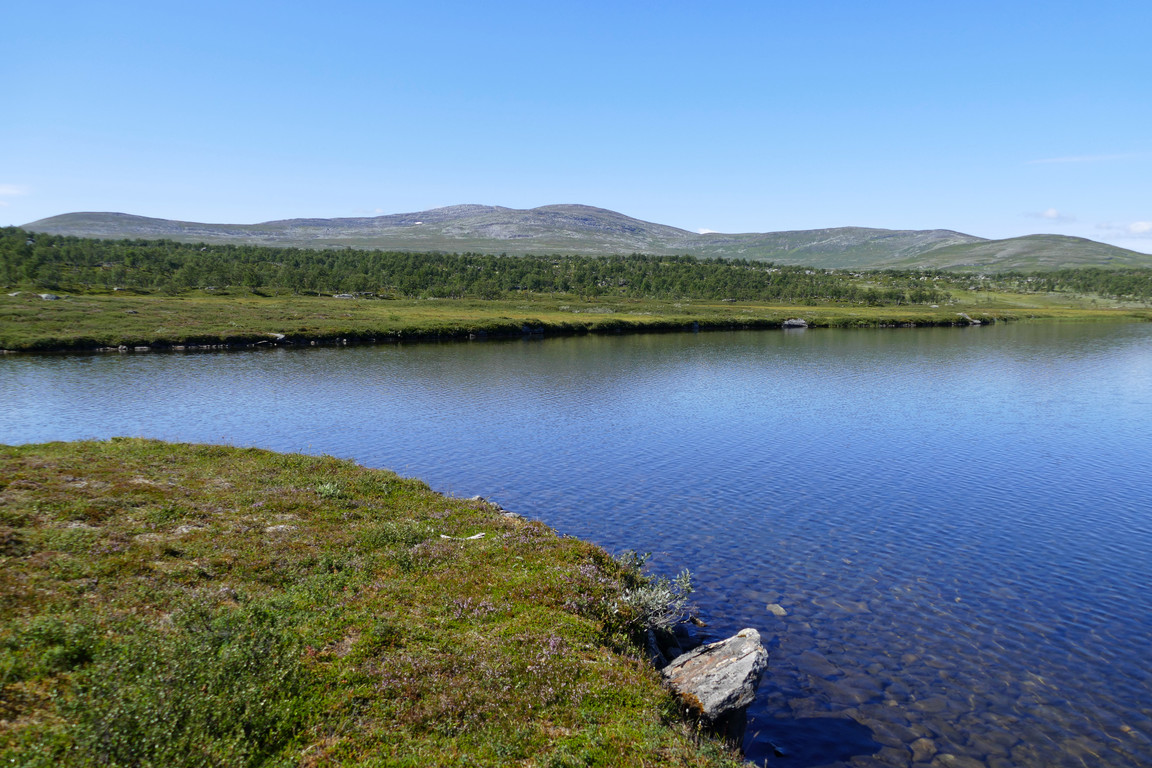
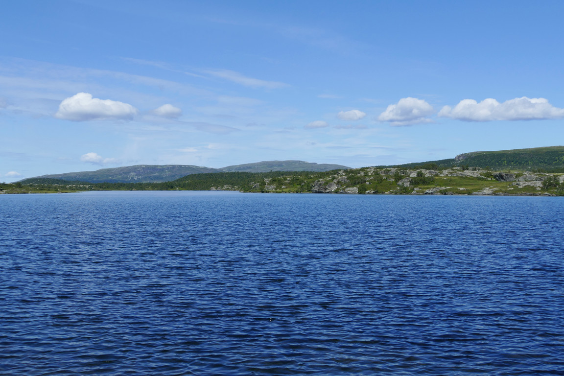
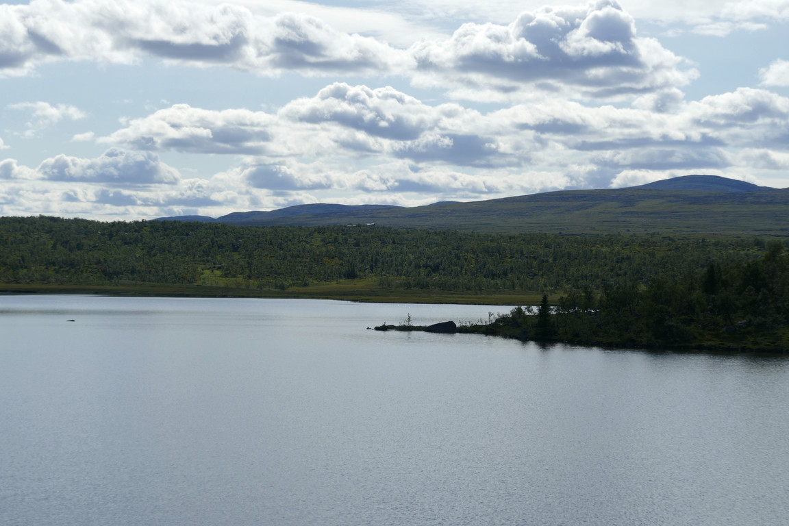
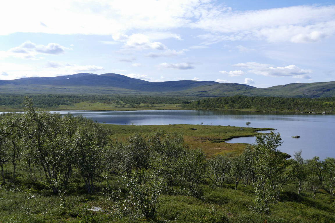
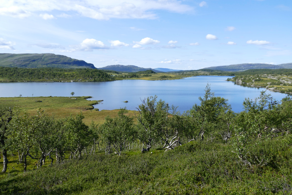
It was pleasantly cool with a weak wind blowing as I walked the trail downwards. The forest started out quite sparse, but got denser further down just as I had started to get nice views of Sönner-Långtjärnen and Daaktege. I crossed the cottage's water stream, which was somewhat noisy here, on a swaying bridge without railings, and soon after broke off towards the tarn when the trail started to ascend a low ridge. This took me across yet another cloudberry mire, and then I reached the shore and took out the fishing gear at once.
Down through the forest
First view of Sönner-Långtjärnen
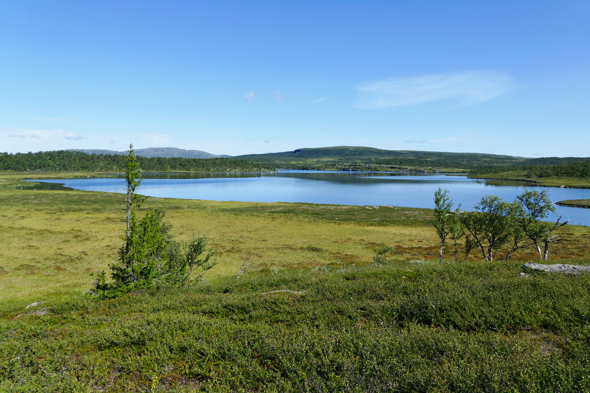
Better view of Sönner-Långtjärnen
At the stream
Last mire
Shore
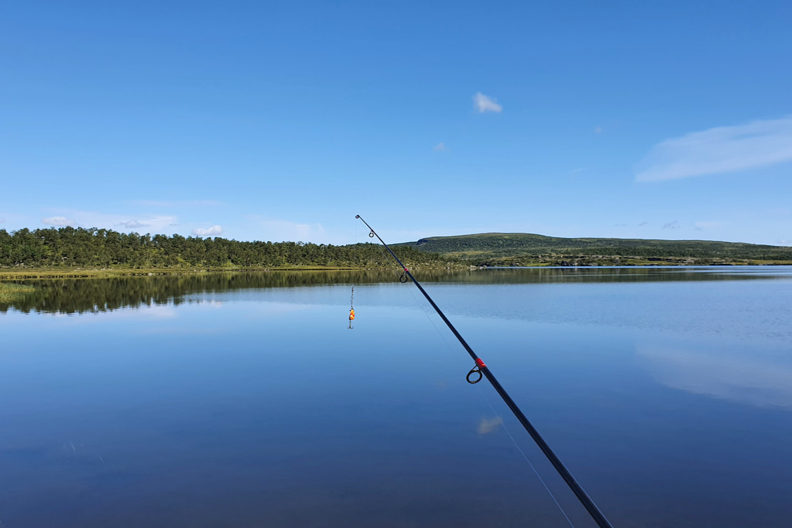
In action
A single person was sitting beside a nearby bay, and I surmised that this was the younger half of the pair who had walked by the cottage earlier in the forenoon. I stood on a good edge and fished for a while; the water wasn't too deep, but appeared to lack unexpected submerged rocks. There were also some insects swarming in the air, but no worries. I proceeded northwards along the shore, where it was shallower and more reed-dense, so I soon turned back again. I had espied another fisherman approaching along the southeastern side, and after he had established contact with the stationary guy they walked up among the trees together, confirming my supposition.
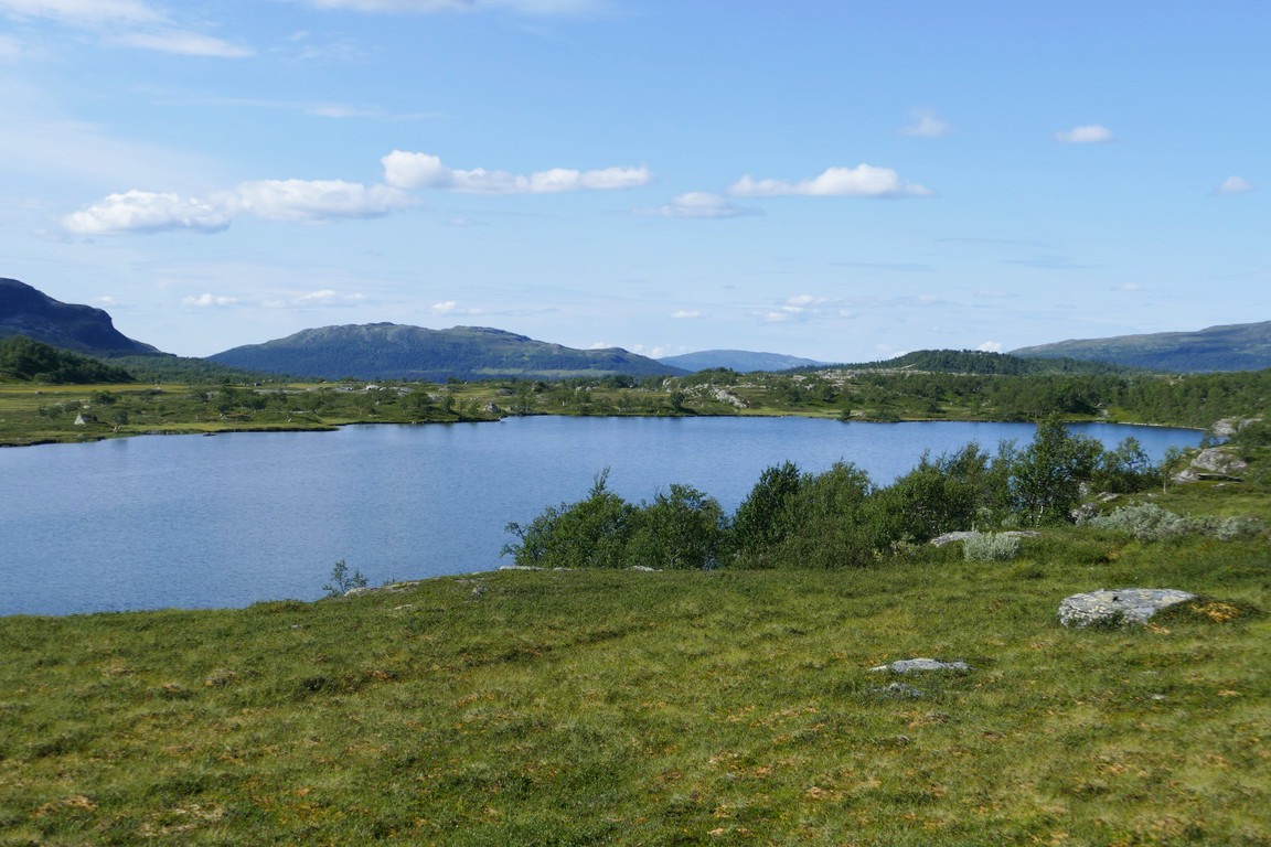
I made my way around the bay, which was also on the shallow side, and then proceeded out onto a narrow headland where I sat down for lunch at 12:15. There was a bit of wind at first, but things soon got warmer. Having rested for a while I set about fishing again, soon continuing on a small footpath that traced the shoreline, with a multitude of clear spots where people had obviously stood before. No fish were caught despite being in visible presence, but as usual (meh) the spinner did catch the bottom, which necessitated a good deal of lateral motion to clear up.
On the headland
Continuing along...
...the southeastern shore
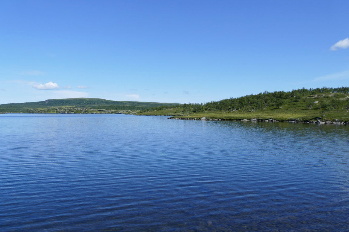
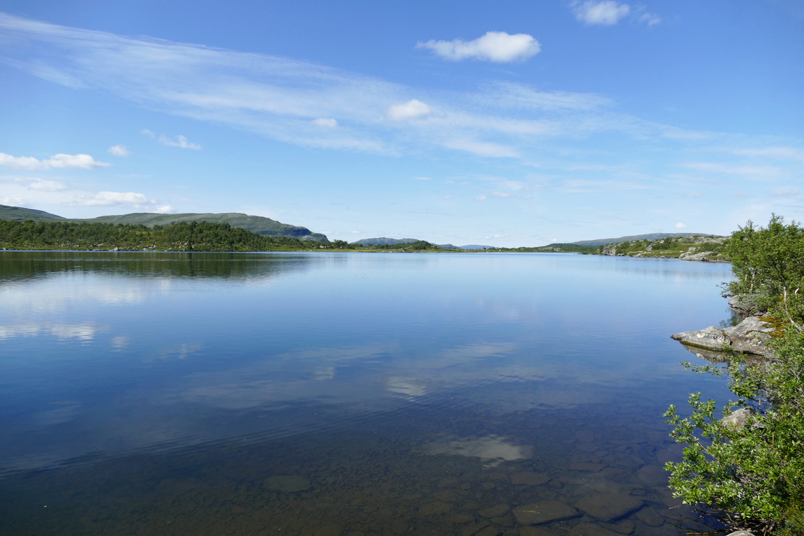
I walked past a shallower part and then suddenly heard the sound of an engine, which resolved into a lake plane flying low above the tarn before turning southwards. I started fishing again when I reached the easternmost bay, after which the path ascended a bit as the shore started to slant, going past several fireplaces. Once the ground flattened out again the water depth was considerably larger, especially when rock faces took by, so I could cast freely. I climbed a group of larger rocks blocking the way, and then decided to head back as the afternoon had lept ahead.
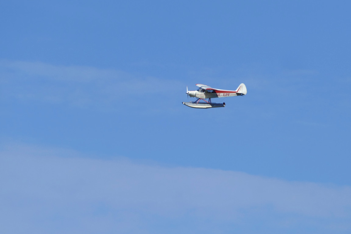
The flyer
Northern part of the tarn
Back across the bay
Before ascension
Deeper waters
Cottage in view
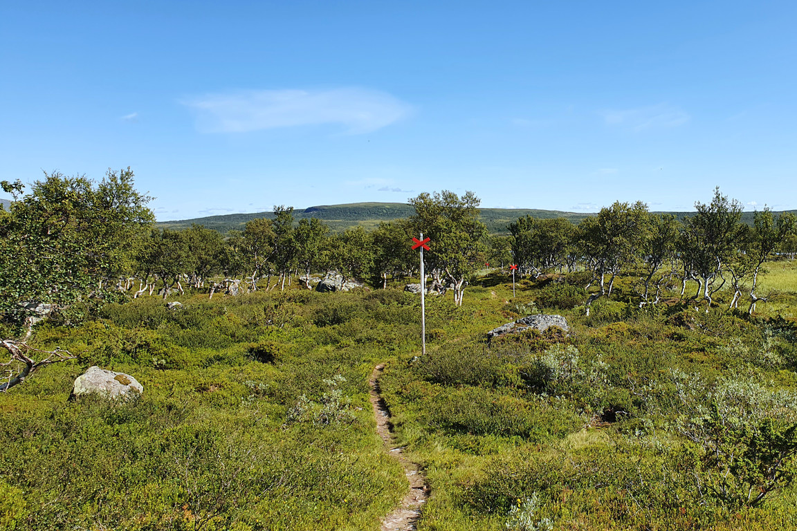
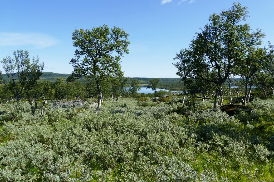
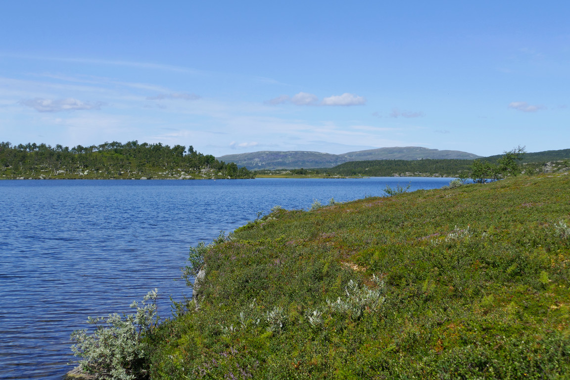
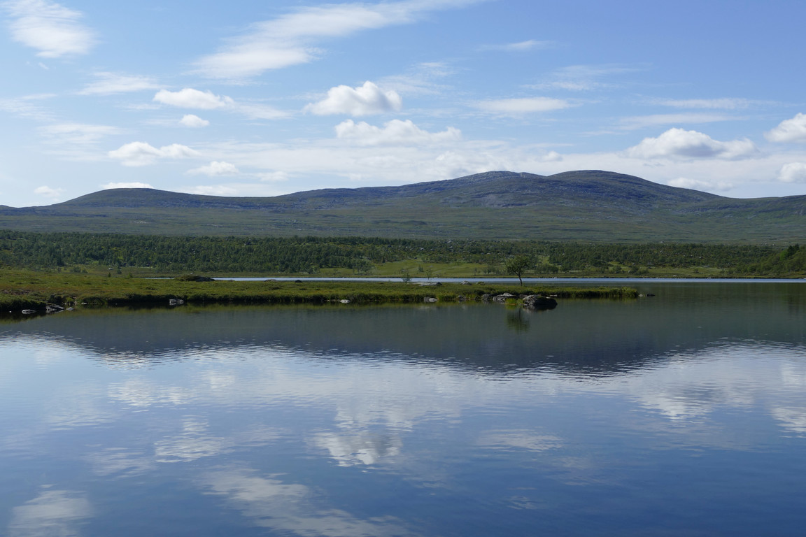
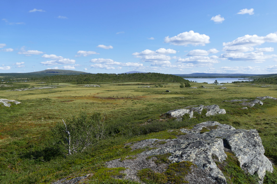
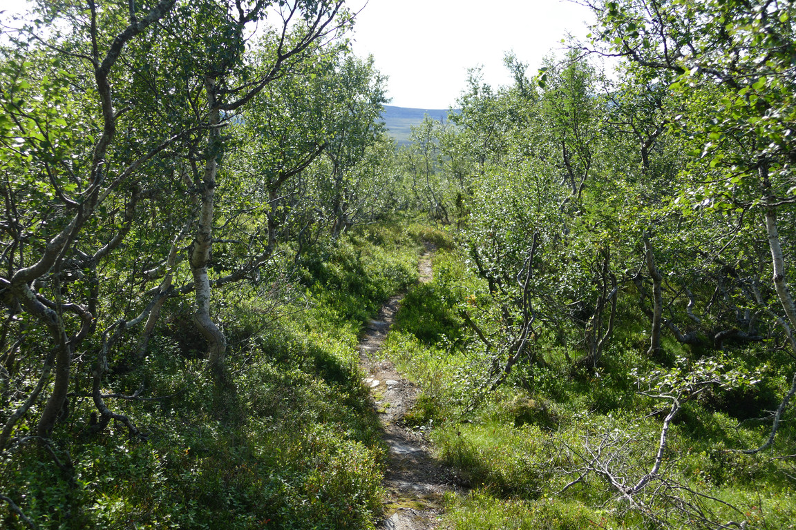
I climbed another level through a crevice, undergrowth providing extra traction, and then found myself on the trail again. I proceeded out onto a nearby crest for a better view of the immediate area and then set out on the path. The sun was now passing into smaller clouds every now and then, but I still got warm from my brisk tempo. The trail had some duckboards on the intervening mire, and then ascended into somewhat dense but low forest upon the long ridge following the southeastern side of the tarn.
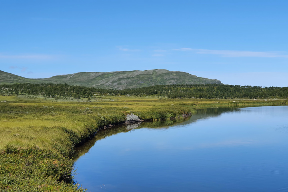
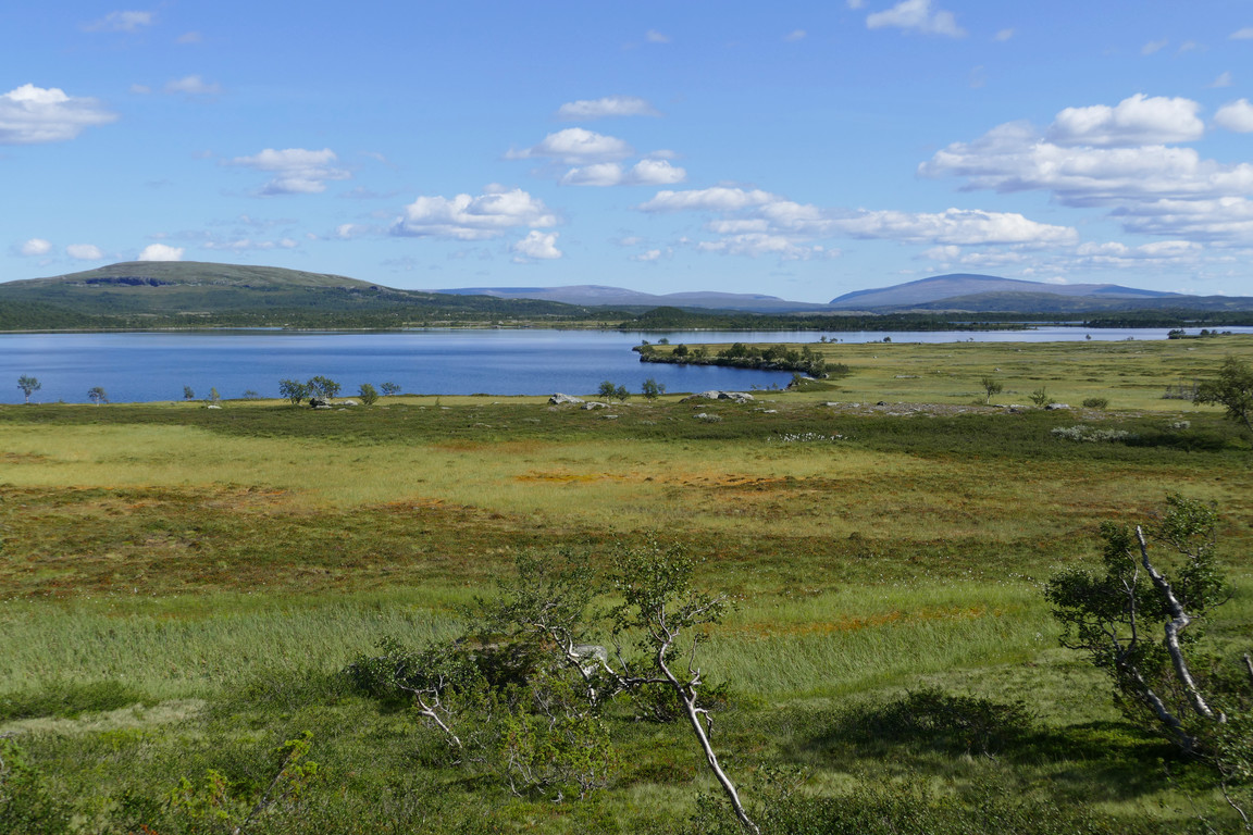
End of tarn
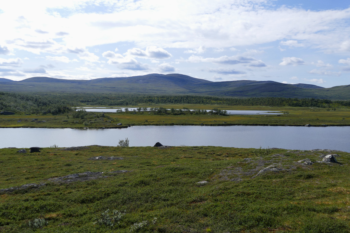
Daaktege visible
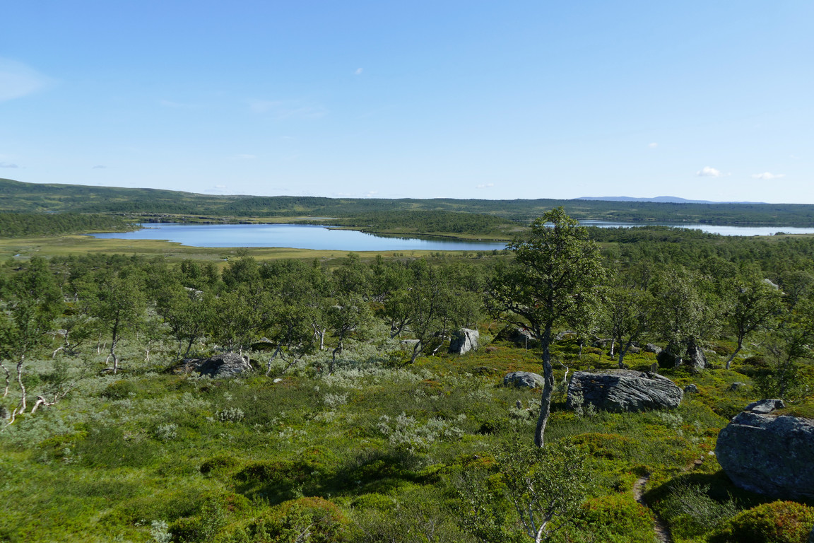
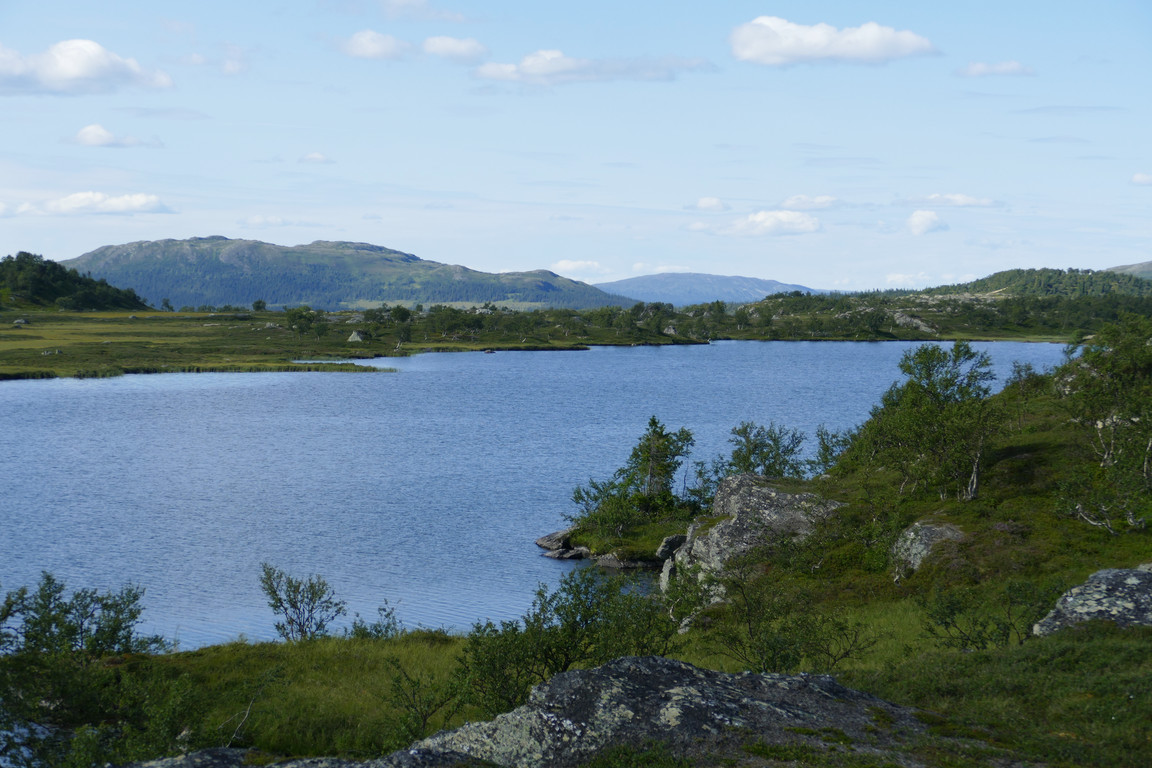
Anasjön to the south
Upon the ridge
Northwards
Ridge forest
Better view of Anasjön
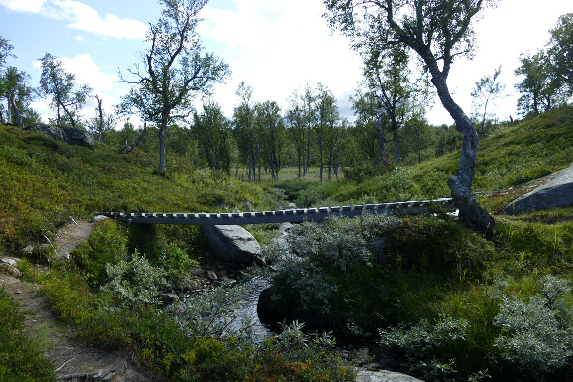
The unguarded bridge
On the way back up the slope from the stream I noted that the forest there was drier in the steeper section, with a few spruces in the mix. As the trees thinned out more osier and juniper bushes took by, and the dryness decreased. The last bit up felt longer in this direction, but at 16:00 I finally arrived to what appeared to be an empty place.
« Return to Anaris report