Thursday 5/8
Stor-Anahögen
| Horizontal distance: | 13 km |
| Vertical distance: | +600 m, -600 m |
| Time: | 4 h 45 min |
| Lunch break: | 1 h |
| Dinner: | – |
| Night accommodation: | – |
| Stage classification: | Medium |
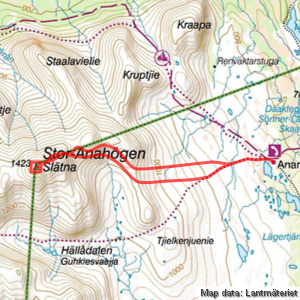
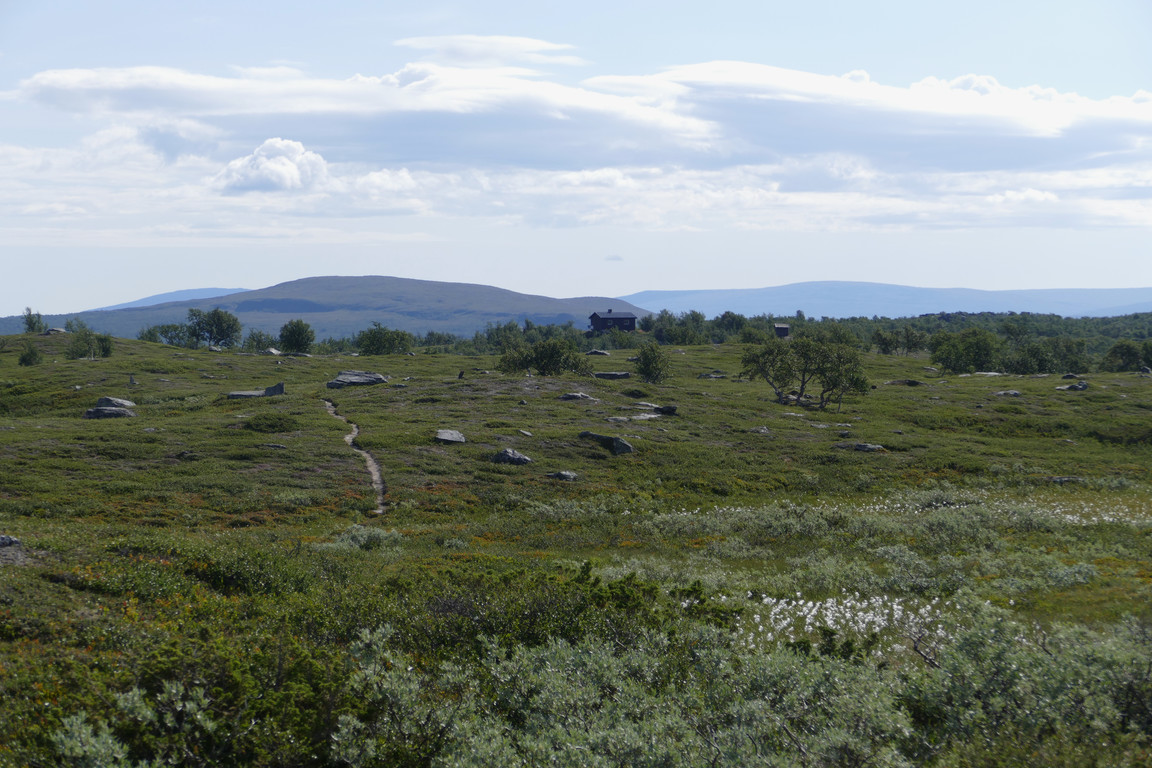
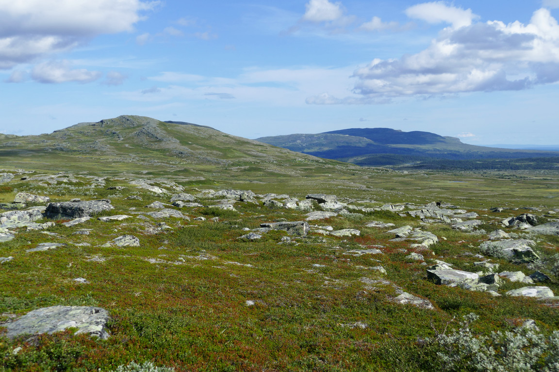
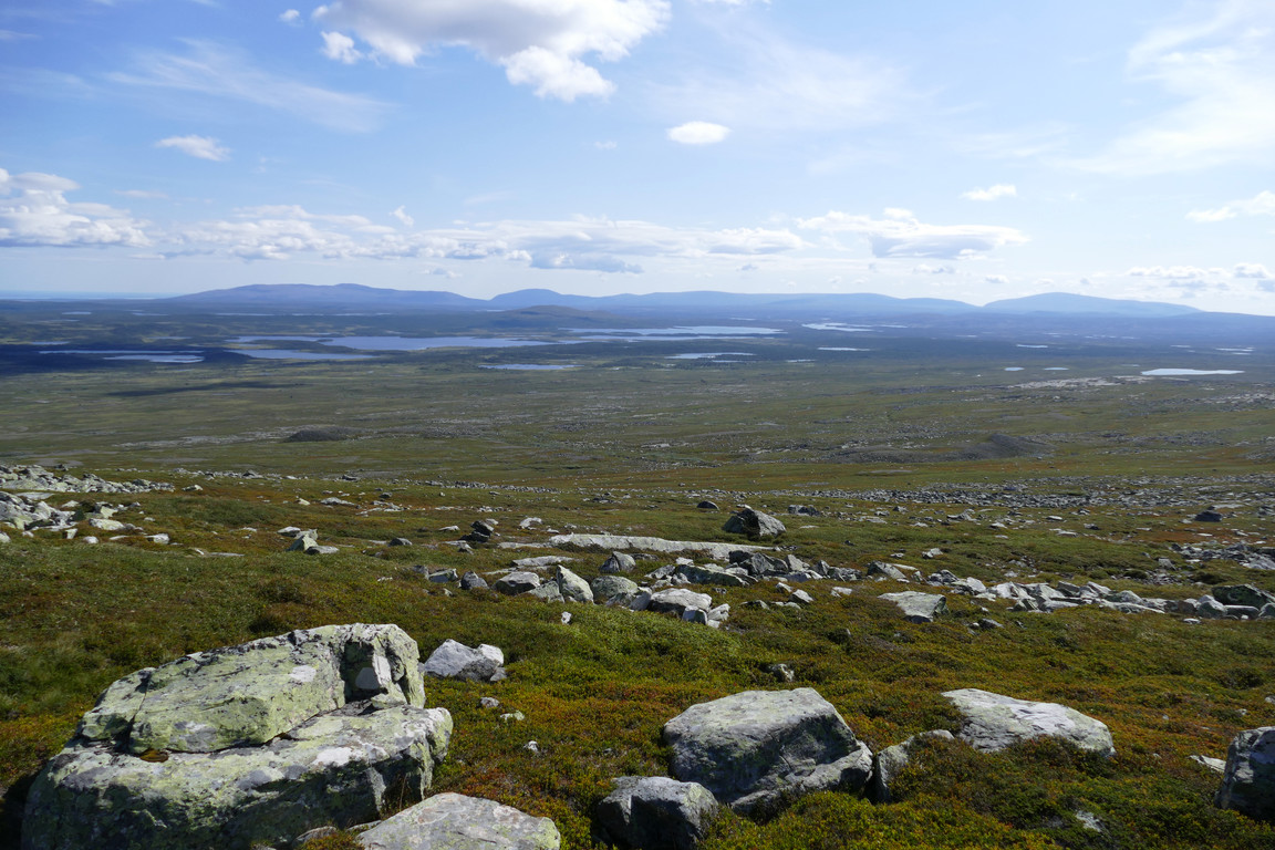
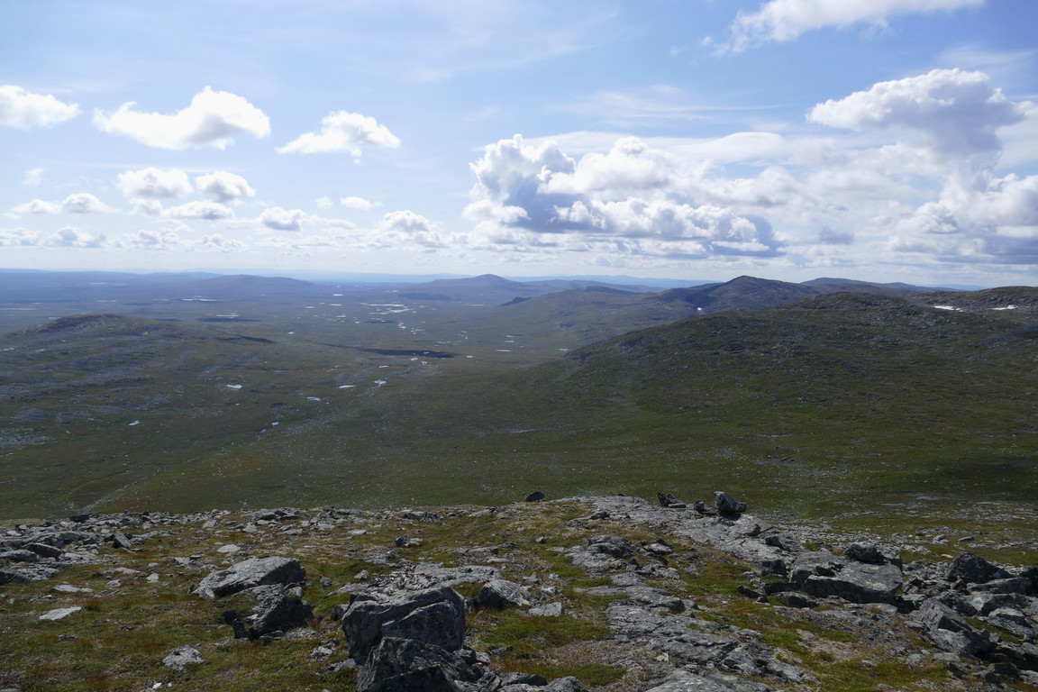
I followed the trail towards Lunndörren for a bit, the wind providing relief from the sun. I noted several places where erstwhile brooks were now dry, so finding water for campsites along this stretch would be a challenge at the moment. After one such dry hollow I broke off the path and headed due west on ground that was bumpy, moist, or both. Here there were in fact several small brooks, and also animal presence in the form of golden plovers, ptarmigans and a few reindeer. I aimed for the heath-covered part of the slope ahead, going over a conglomeration of hills before the angle of incline increased.
Trailing
I'll be back
Here's the water
Kraapa and Hottögsfjället
Plain behind
Blue
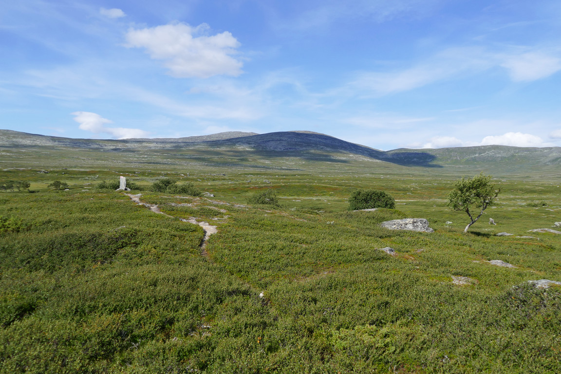
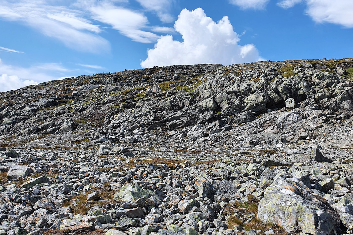
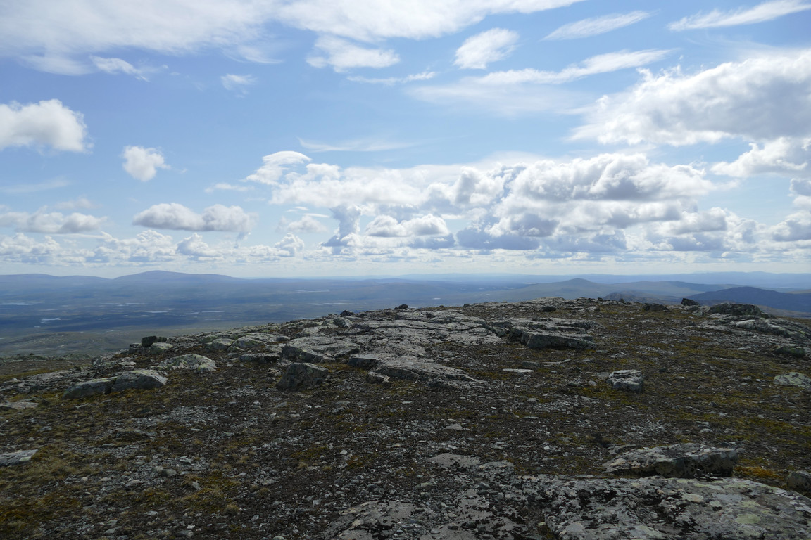
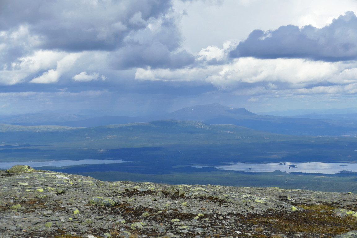
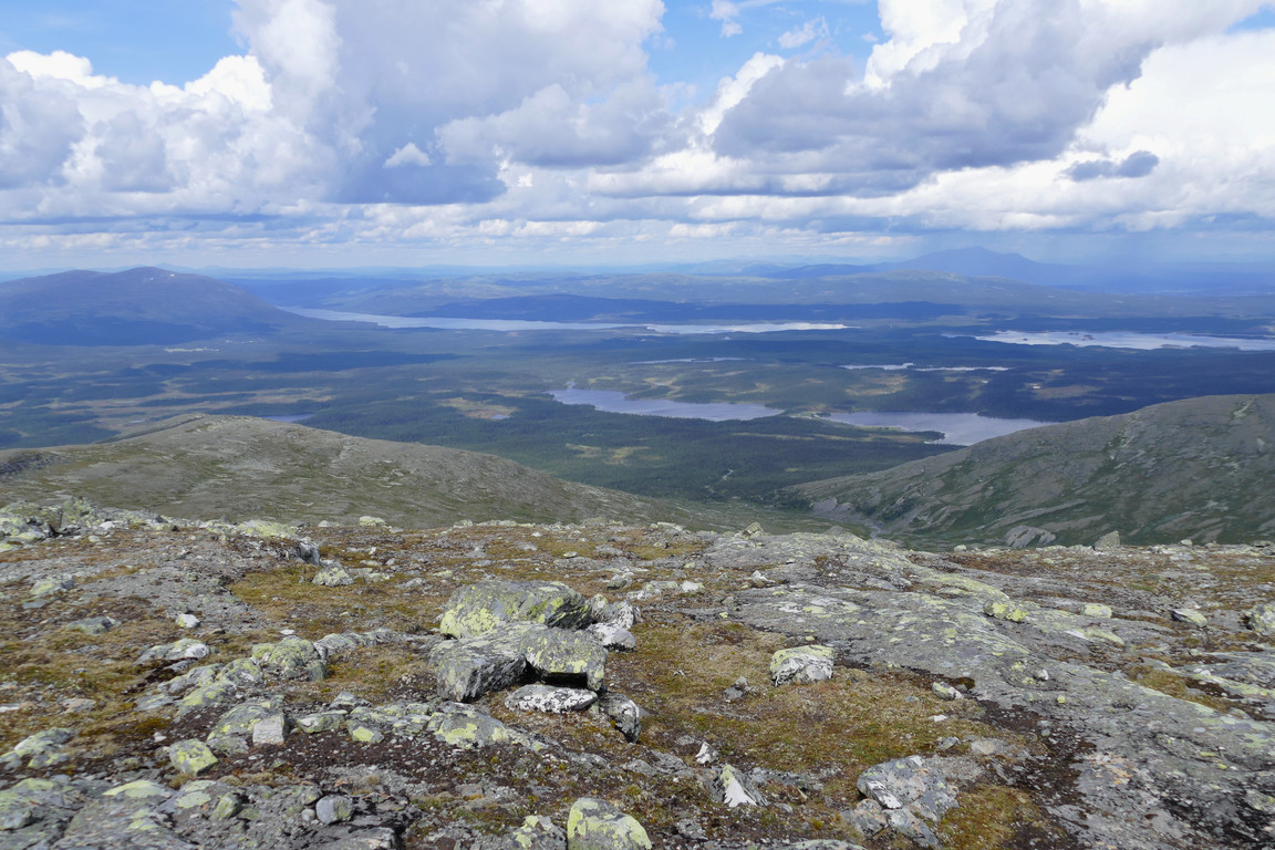
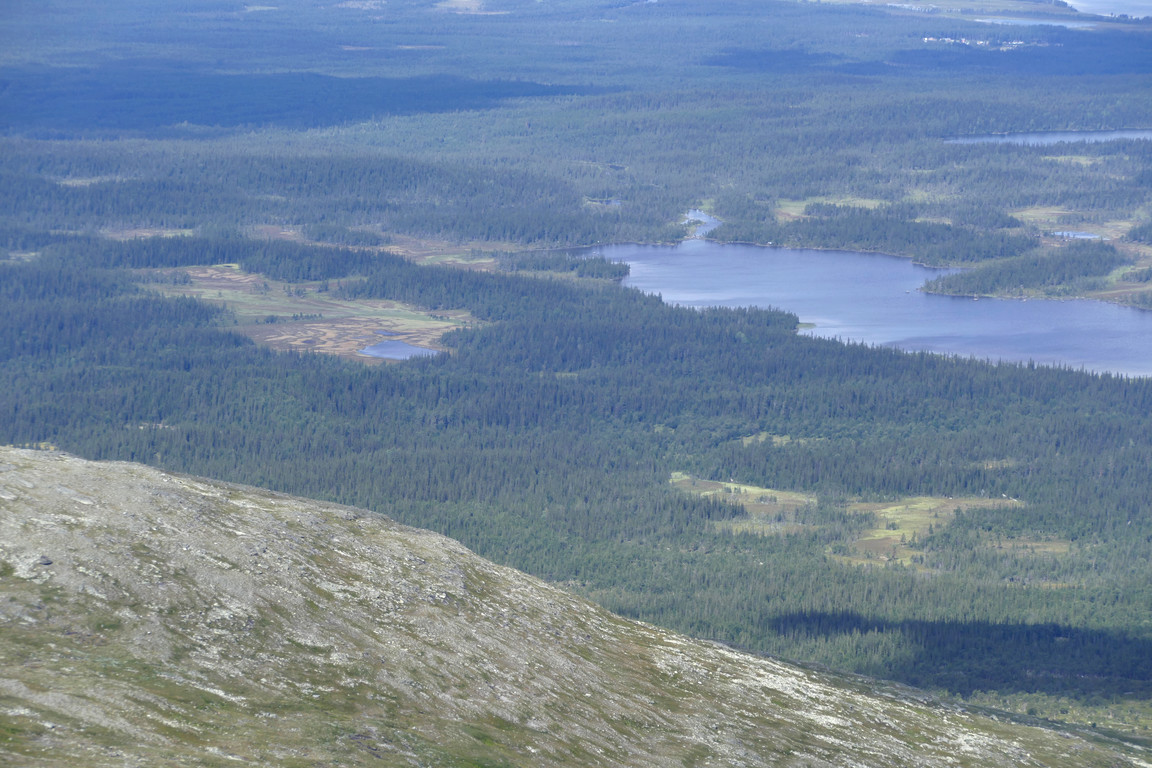
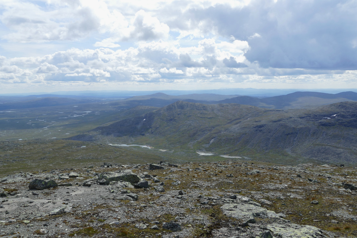
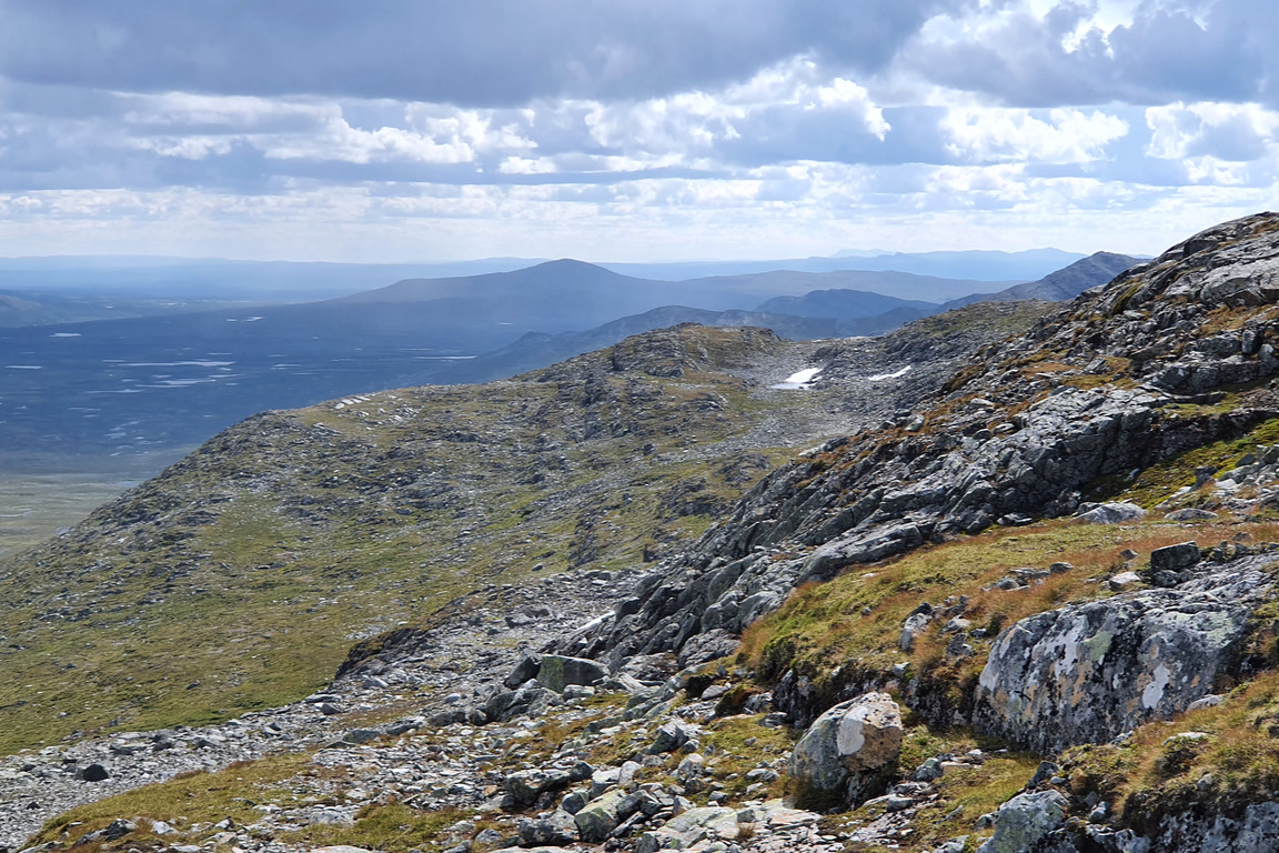
The heath made for simple progress upwards, and I soon found myself at the upper reaches where more and more rock faces were in evidence. I crossed some reindeer paths cutting across the slope horizontally and then found my way between the rockier portions near the crest as the wind increased in power. Behind me the view over the plain had expanded all the while, now being partially draped in shadow, and ahead I could see more and more of the vale of the Hällån tributary. I zigzagged between and sometimes upon rocks up onto the ridge and then passed west of the summit above me to the hollow at the start of the next rise.
Hottögsfjället partially shaded
Lakey
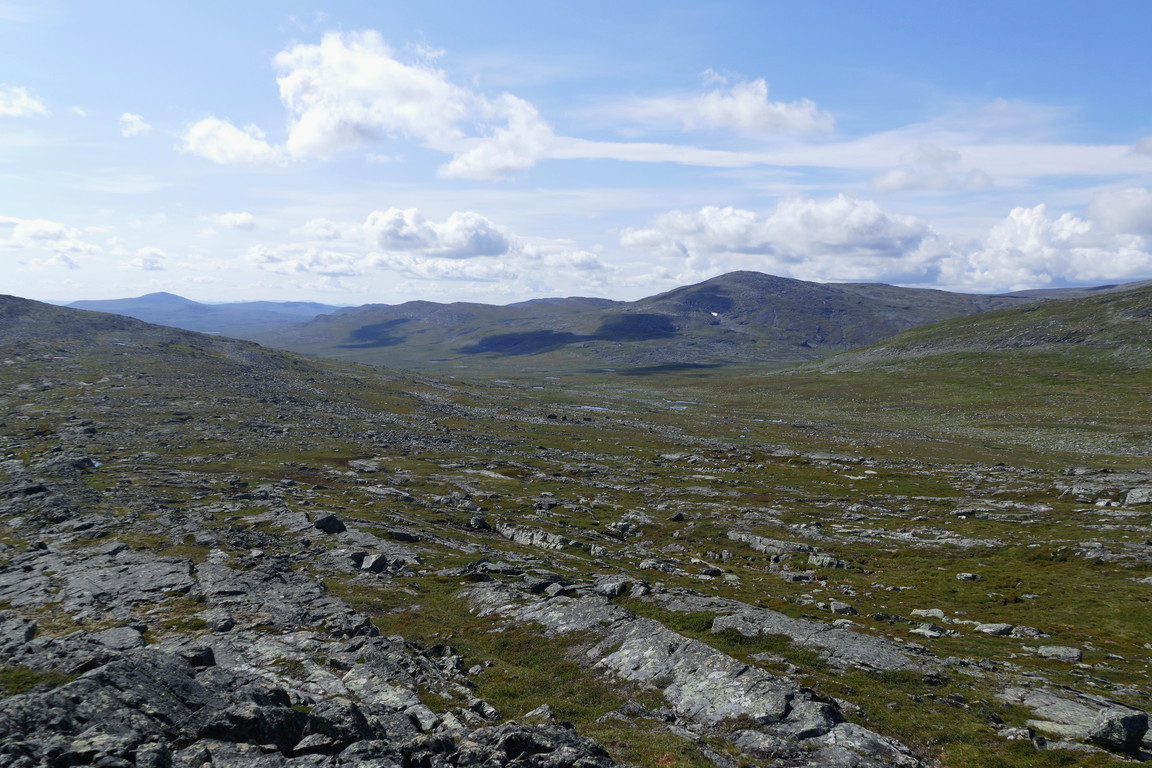
Side vale
To go
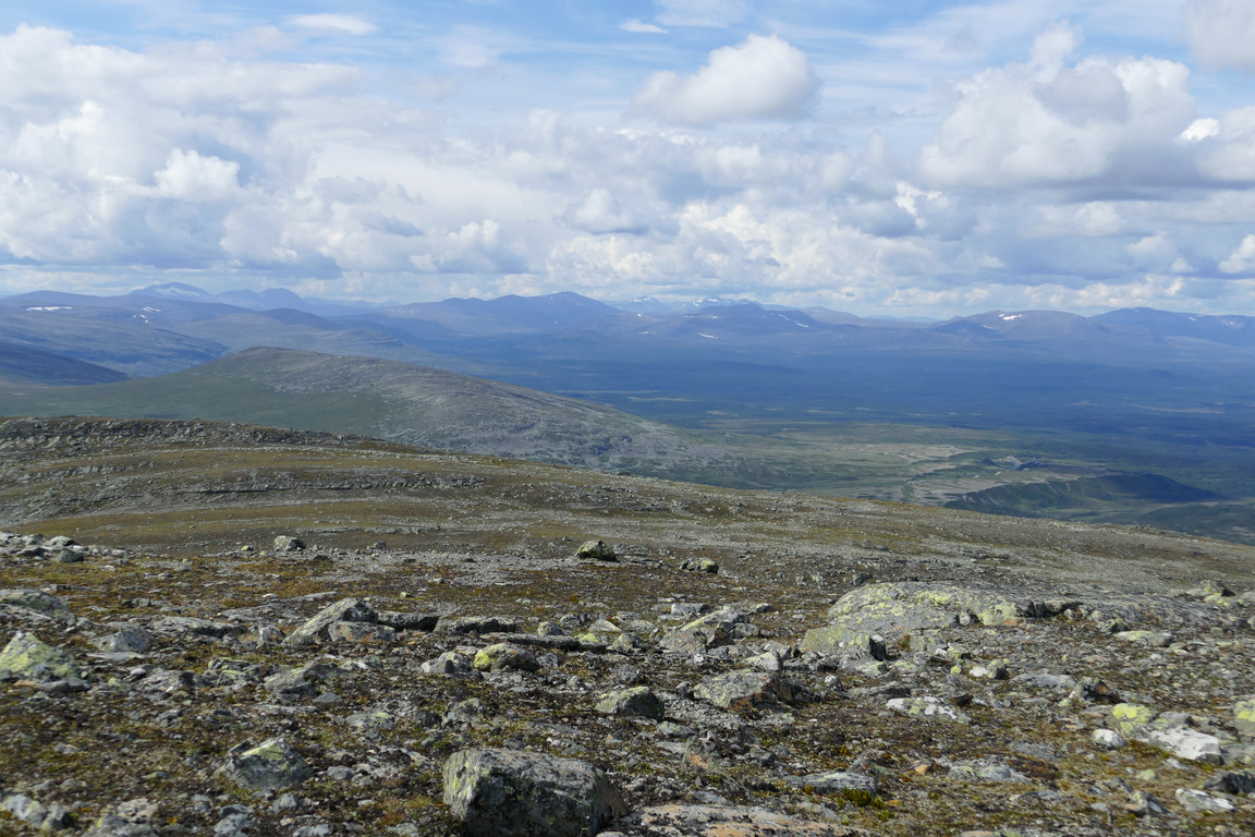
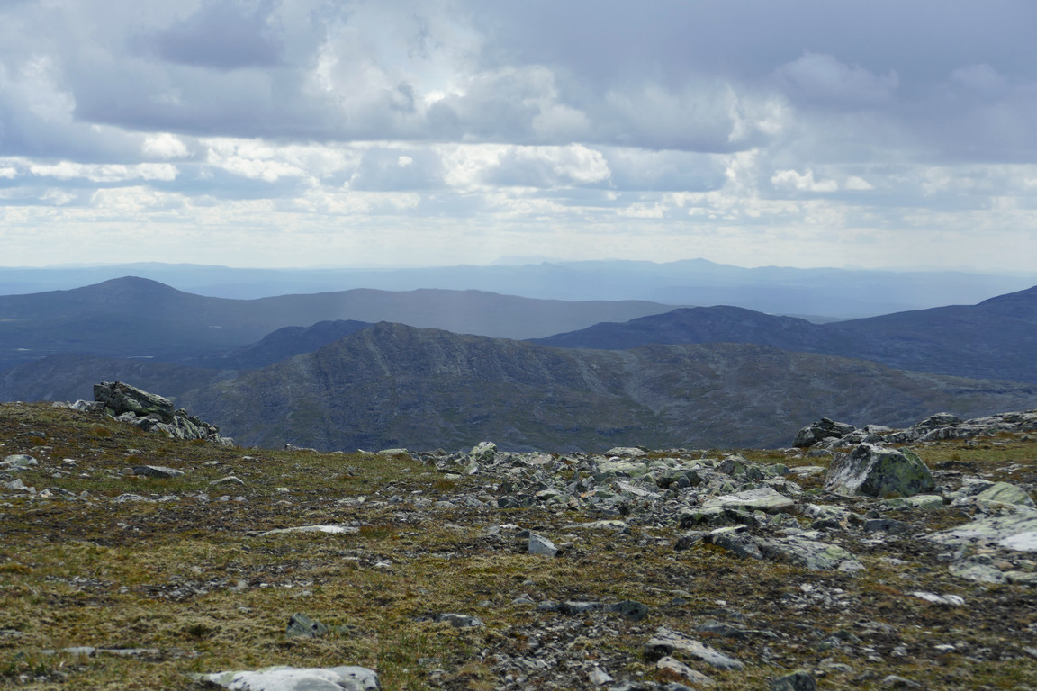
Fjelds in the southern distance
High point
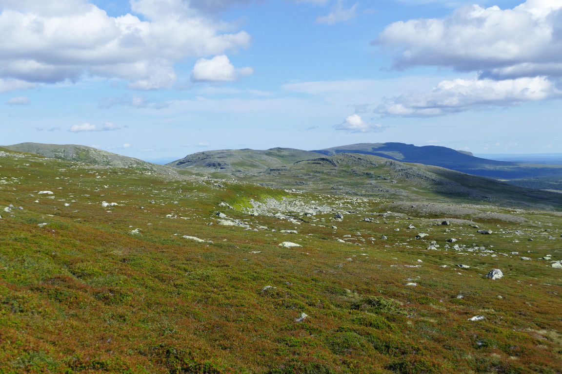
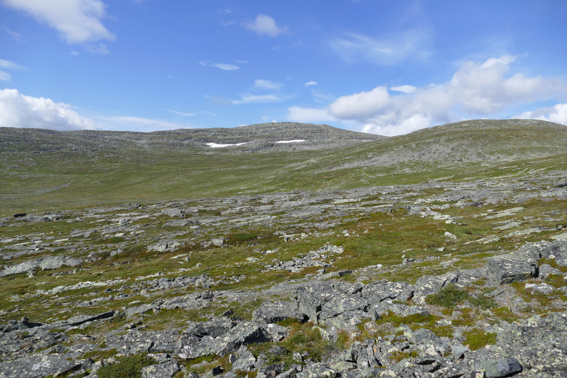
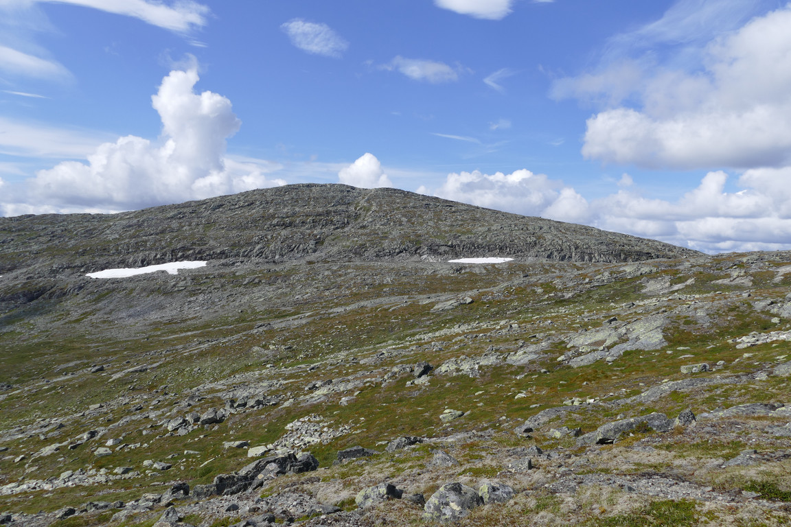
Here I climbed the slope at an angle, passing south of the actual summit, and now the ground had turned rocky interspersed with grass and moss. The next hollow was rockier and more sterile, and also presented some ledges and gulleys before I reached the base of the next slope, which was considerably steeper. After an ocular survey I chose an oblique route a bit off to the south, where a strech of moss-dirt cut across the rock faces. More semi-sterile ground followed, and then I found myself at yet another steep rise.
First steep slope ahead
In the hollow...
...with its gulleys
To ascend
Vistas
Next steep slope
Atop
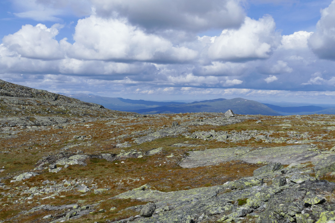
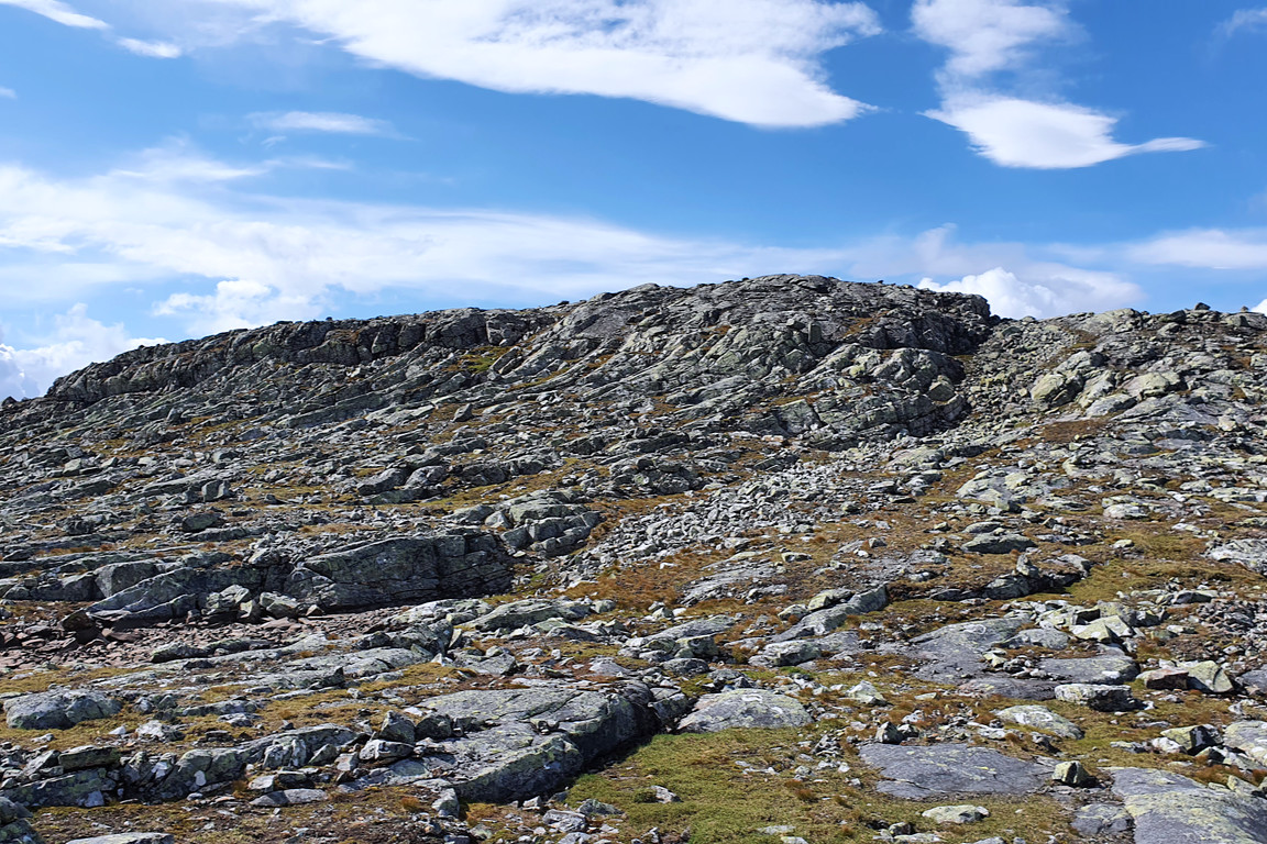
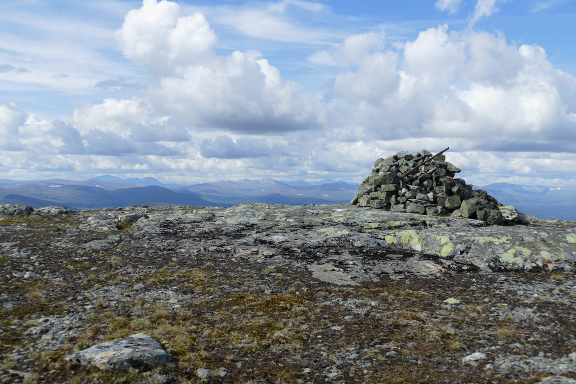
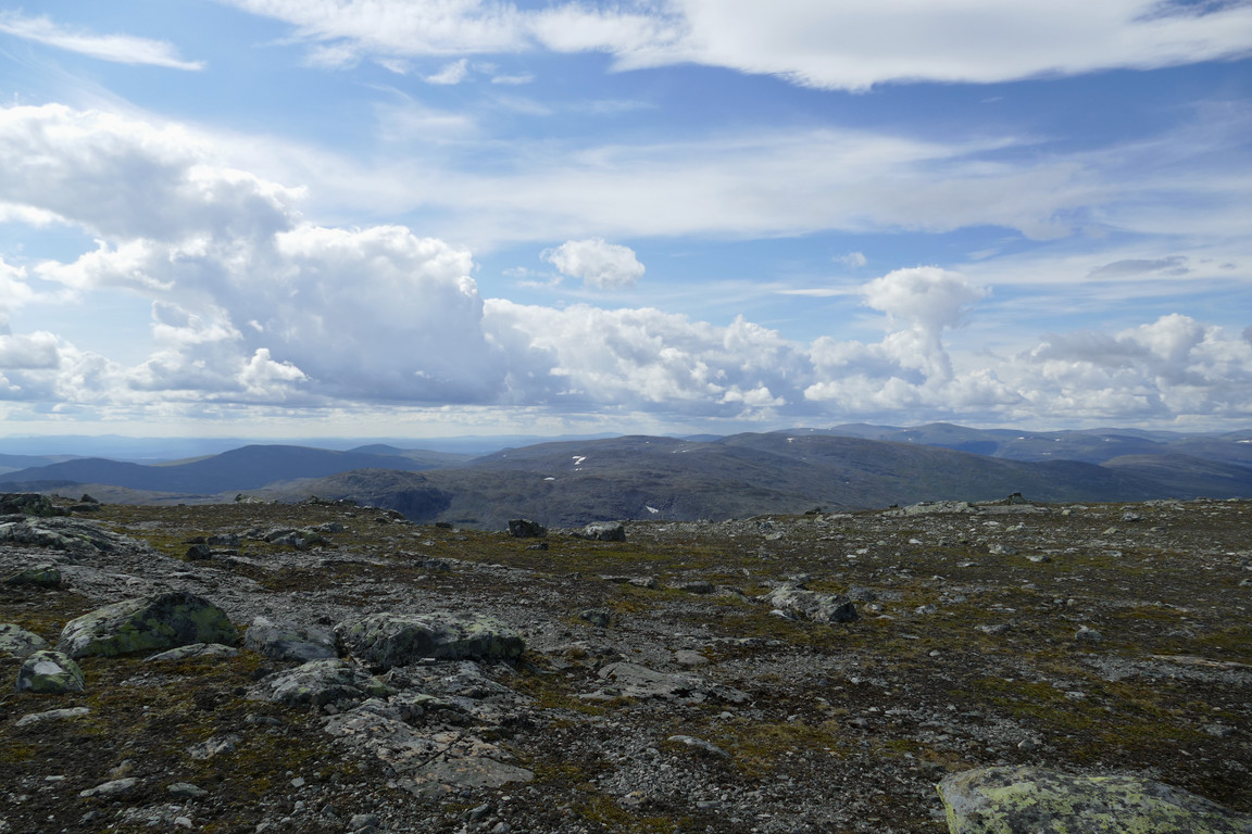
Going up this one was a bit trickier and merited more care, especially due to loose stones on flat rocks, but it worked out. There were a few more rocky crests of smaller stature, and then I finally reached the summit plateau, which was actually not that stony. It was, however, fairly extensive, so it took me a while to reach the large cairn at the highest point near the western end, which I did just at noon.
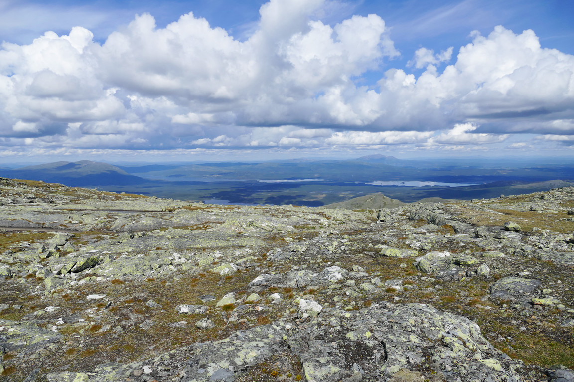
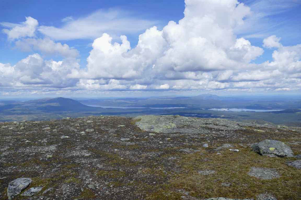
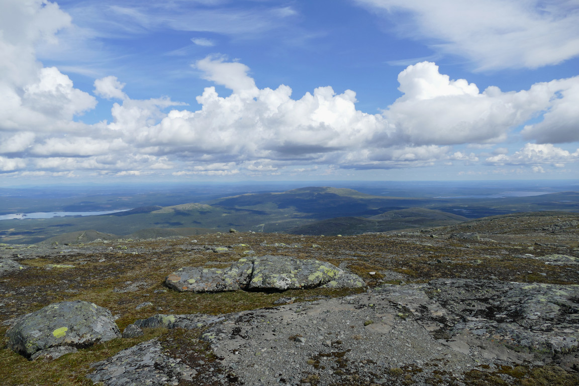
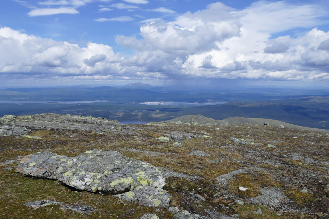
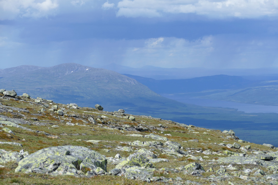
As usual the sought-after effect of suddenly appearing vistas hit with force – and so did the wind, which was very strong up here, so I put on the wind jacket at once. I walked around photographing the incredibly vast views, noting that there were quite a few cumulus clouds all around, and there were already showers at Åreskutan and Helags. I located the summit book and made an entry – there had been visits quite recently – and then sat down in the lee of the cairn to have lunch. After I had eaten I walked around the edges for better views of the immediate area, and now there were more showers in more locations, but conveniently enough where I was and where I had come from it was still mostly sunny.
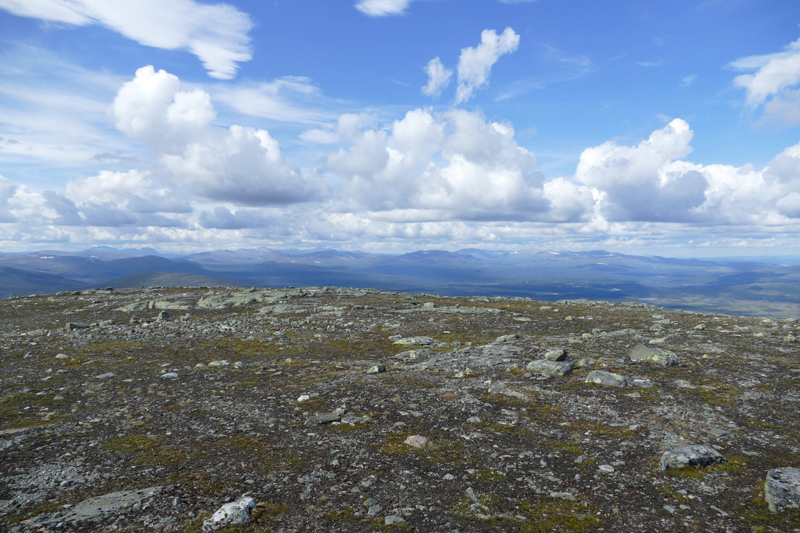
From the summit: west...
...north...
...northeast...
...east...
...southeast...
...and south
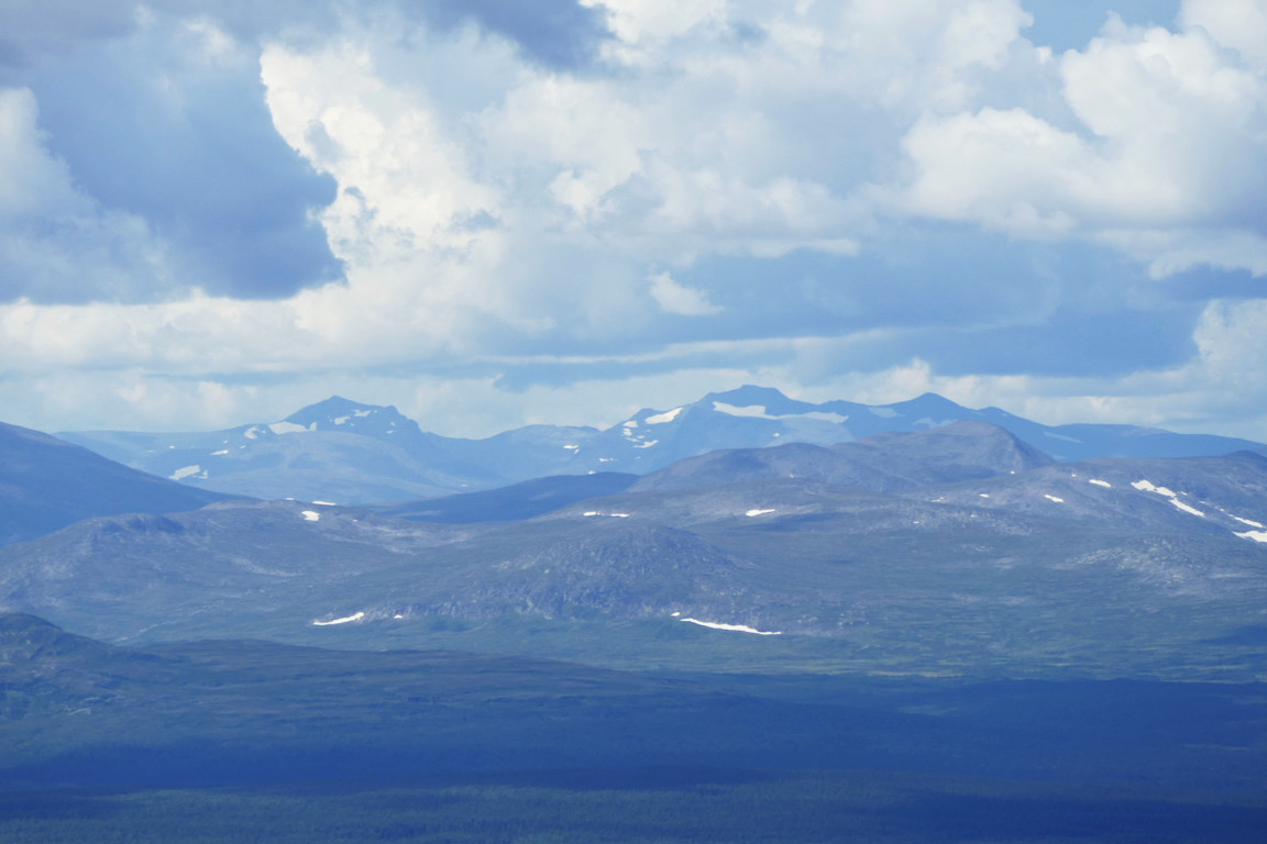
Closeup of Sylarna
Closeup of Stensdalen
Shower at Åreskutan
Ravine going down
V Vattensjön
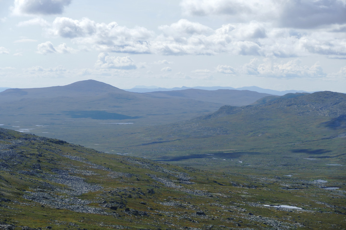
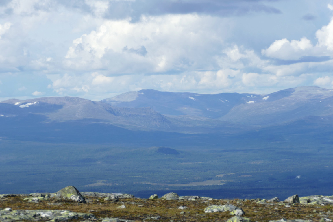
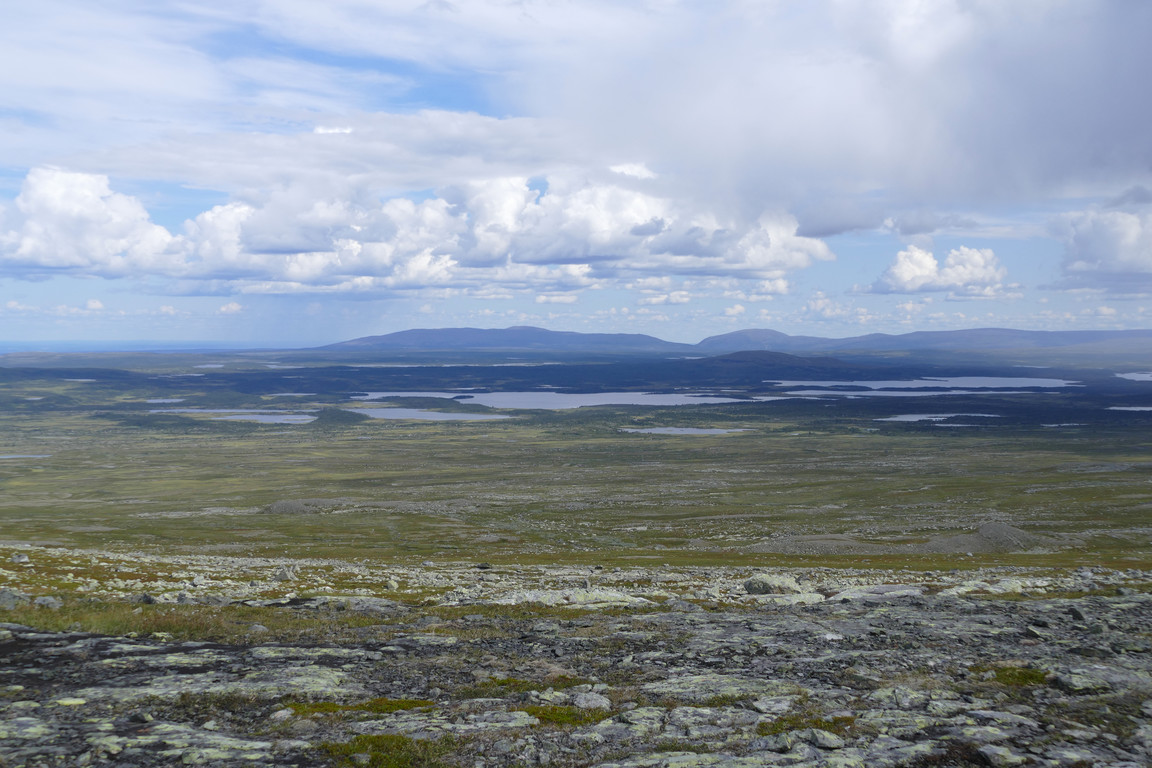
The Grönan plateau and Issjödalen with Helags and Sylarna behind
Hällådalen

Shower at Helags
More rain to the northeast...
...and to the south
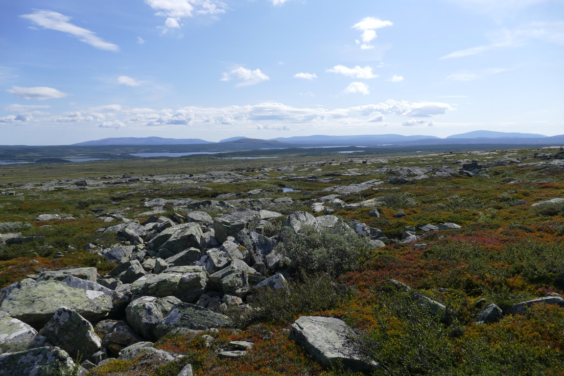
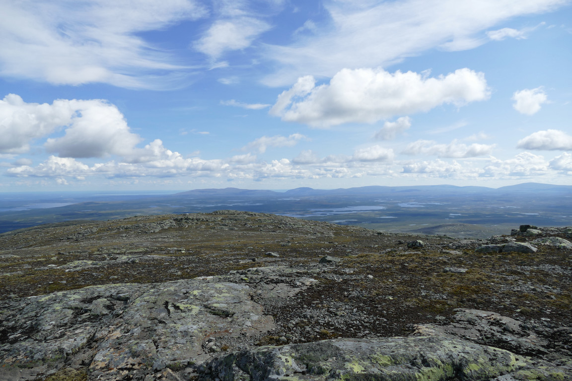
I kept the wind jacket on when I departed, negotiating the first steeper slope further north, where the ground was easier. The next one I descended in a location close to where I had come up, and now the sky was growing cloudy above as well, with a darkness approaching from the southwest. Once at the bottom of the slope I held a more southerly course, traversing the right side of the intermediate rise where it was mostly grassy with a few rock tongues, slowly losing altitude. I rounded the next hollow and then crossed the ridge more or less at the middle, where it was quite flat.
Approaching showers
Descent
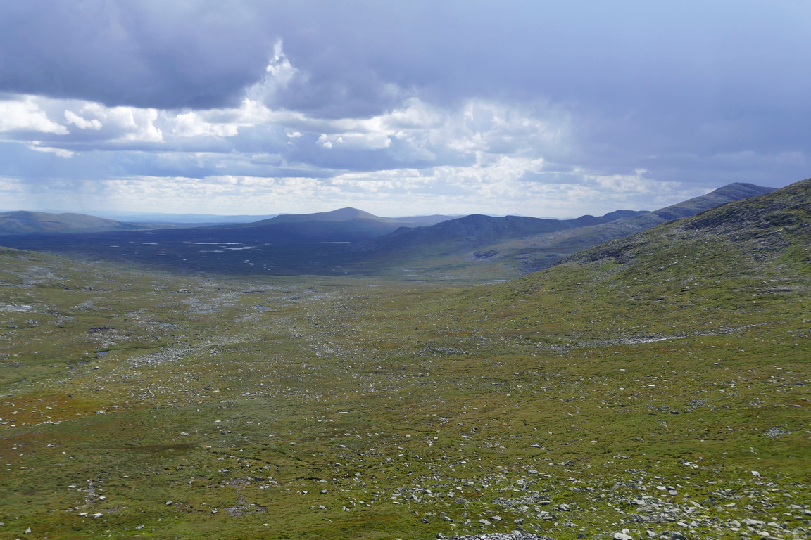
Atop the side vale
Down to the plain
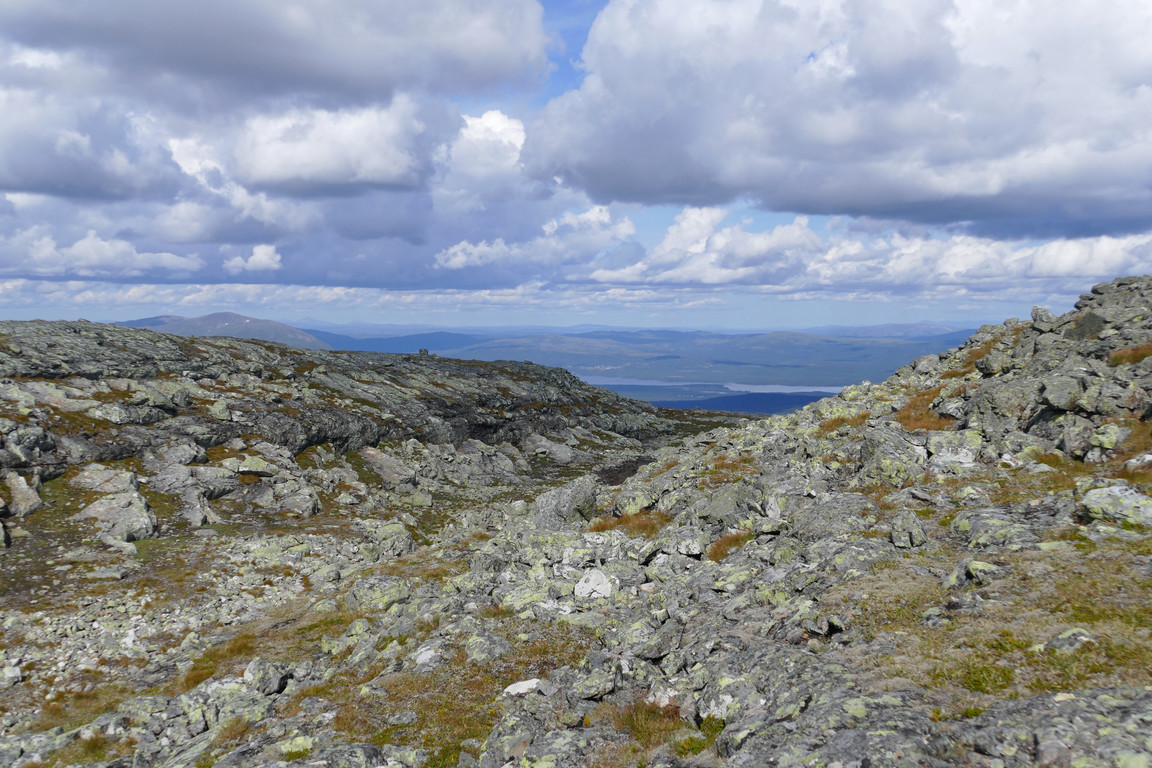
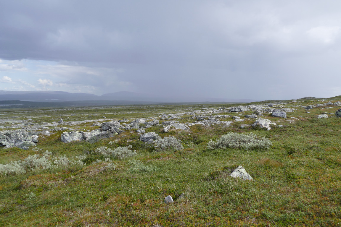
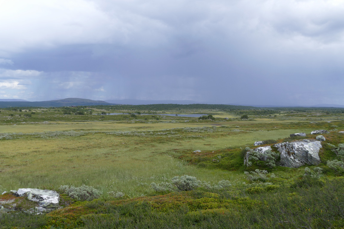
I could now see a dense shower passing eastwards out onto the plain south of Hällådalen, but things were still dry at my location. I aimed directly for the cottage, first zigzagging a bit between rocks before hitting heath that facilitated progress. As the slope levelled out the ground became boggier, and I walked over the same brooks as on the way up. I now started feeling some drops in the wind, but it was nothing to worry about, and it was getting lighter behind me again.
After another bout of drops I came back to the trail at a higher point than where I had left it. A lighter shower was just touching the cottage, while a much larger one was moving off to the southeast. The sun came out for a bit as I approached the trail split, where there were both more drops in the air and on the ground from the looks of it. I reached the cottage at 14:45, encountering a couple of pausing hikers who had just relocated into the vestibule to escape the shower, which was just moving on.
Heavy rain...
...beyond the cottage
« Return to Anaris report