Sunday 17/7
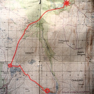
Dörrsjöarna – Dromliften (via Visjön)
| Horizontal distance: | 20 km |
| Vertical distance: | +70 m, -330 m |
| Time: | 5 h 30 min |
| Lunch break: | 30 min |
| Dinner: | Hamburger |
| Night accommodation: | – |
| Stage classification: | Easy/Medium |
| Map point: | Höglekardalen |
The rain continued in intervals during the night, and when I woke up "for real" in the morning it was still going strong, with clouds even lower than yesterday. Almost immediately I heard a sound I first associated with some kind of water bird, so I thought perhaps some had come to glide around on Gåetiejaevrie. Upon looking out of the tent, however, I quickly identified the source as a herd of reindeer; when those make a sound at all, it is sometimes reminiscent of a nondescript grunting of some larger bird. I stayed in the tent and let the entire herd pass by, so as not to disturb them; more were coming in from the east, crossing those rock fields with no apparent difficulty. I made breakfast inside the tent and then struck it in what by that time was a very light rain.

Reindeer outside

Hundshögen cut off...
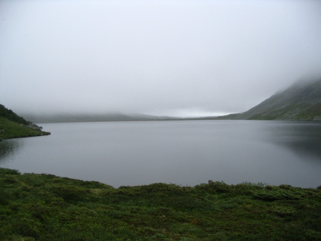
...by low clouds

Moving out
As a result of the reindeer-induced delay, I didn't get to depart until around 10:30. I started following Bielnjienjohke upstream, but it soon became apparent that doing so would lead me into extensive fens, so I took to tracing the edge of the shallow vale instead, right where the shrubs and small trees started. Not far ahead, when I had climbed a low rise, I caught up with the reindeer herd, but they quietly and calmly withdrew into the vegetation before I got close.
Some time later I got to a reindeer fence; it was in pretty bad a condition, but still wouldn't let me pass easily. Down by the stream, however, it had almost completely collapsed, so I walked across there – and then I was right next to Visjön. Since, according to the map, the shore regions consisted of marshland, I kept my distance and started turning around the lake in a westward direction. The passage from Gåetiejaevrie had been rather wet, but now I was on dry, solid ground, so I made good progress.
A little too good, as it would turn out. The land wrapped itself in fog, and soon I lost sight of the lake. After a while I suspected that I had drifted off course, so I climbed a rise to see if I could in fact see anything, but the fog put the horizon just a few hundred meters away. Also, the compass and my somewhat hampered perception disagreed rather considerably as to the location of north, so I backtracked towards where I had last had visual contact with the water.
Whether it was because I was then getting closer than before or because the fog was in the process of dissolving I don't know, but when I caught sight of the lake again I got a much clearer idea of its extension and quickly discerned where I needed to go. Not being entirely sure of one's location is never really pleasant, but there was no danger involved; I knew where I had come from, and I knew my approximate position relative to the lake as a whole, so in the unlikely event that worst would have come to worst, I would simply have let the compass guide me, aiming for Lekarån which even a blind man couldn't have missed.
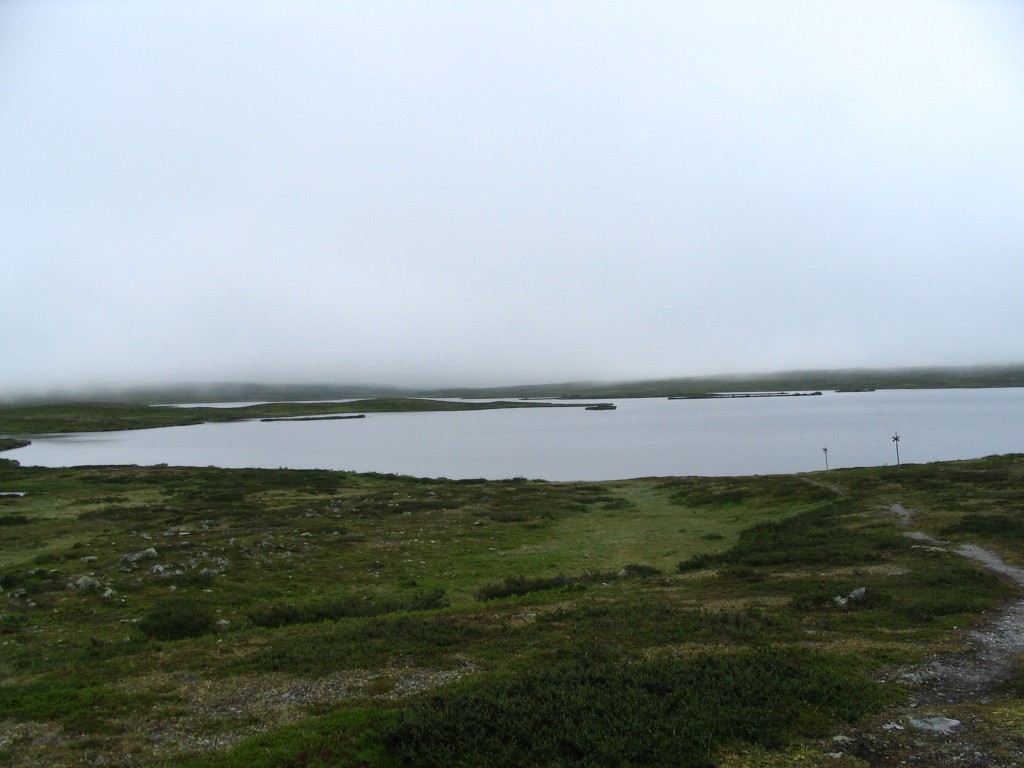
As it was, however, I soon reached the shelter at the northwestern edge of Visjön, where I paused for lunch. The hut was occupied by two guys on a fishing trip (they had just fried and eaten the catch of the day), so I sat down outside – I was warm enough from the walk, and what little rain there was had long since ceased.

First view of Visjön
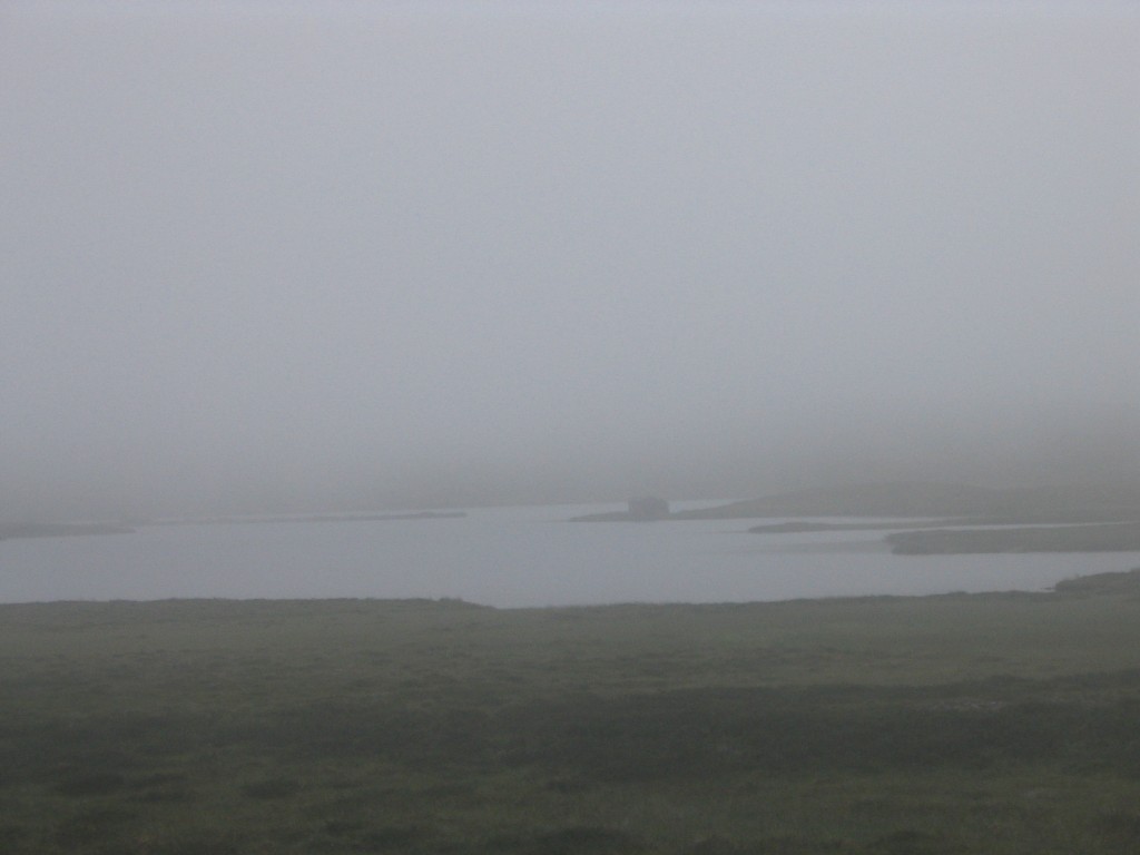
Foggy!
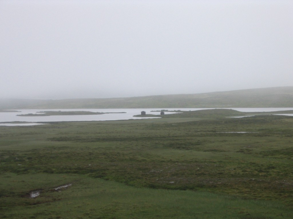
Less foggy
At the shelter
While I was there, the clouds gradually lifted. After I had eaten, I set out on the trail that passes the shelter, which made for very easy going. While I was passing over the highland, the weather steadily improved. When I had reached the old settlement of Fjällsta and started the real descent towards Höglekardalen, the sun was on the verge of breaking through. Before the last, long slope I sat down on a bench beside the road (for it is a dirt road there, leading to the Hosjöbottnarna Sámi community further west) and had a sandwich.
Once I was down in the valley, the sun had won the battle of the skies and shone brightly on the land. I stopped in Höglekardalen to remove some clothing – there was apparently some kind of senior get together there, as there were several elder people about, and more were arriving by car. I continued along the road back towards Drommen, but later turned off onto a path leading down to Lekarån, which grows wide and flows calmly there. I was back at the main building opposite Drommen's ski lift at 16:00.
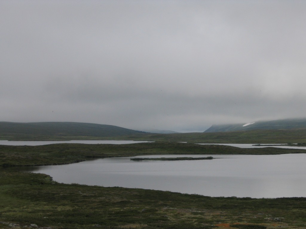
Leaving Visjön

Western fjelds
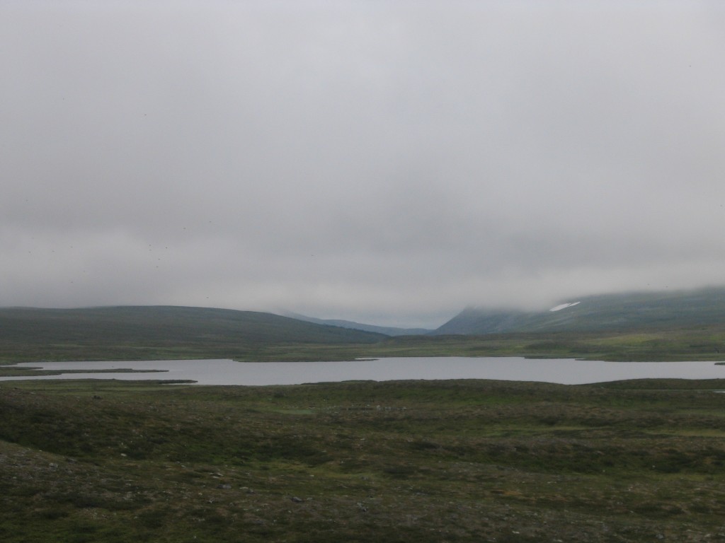
Visjön with Hundshögen still clouded
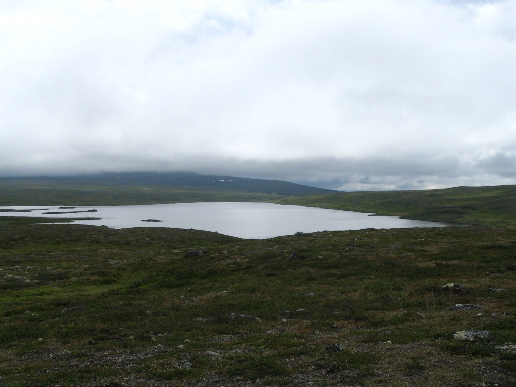
Visjön again, looking south

Lillån and its ravine
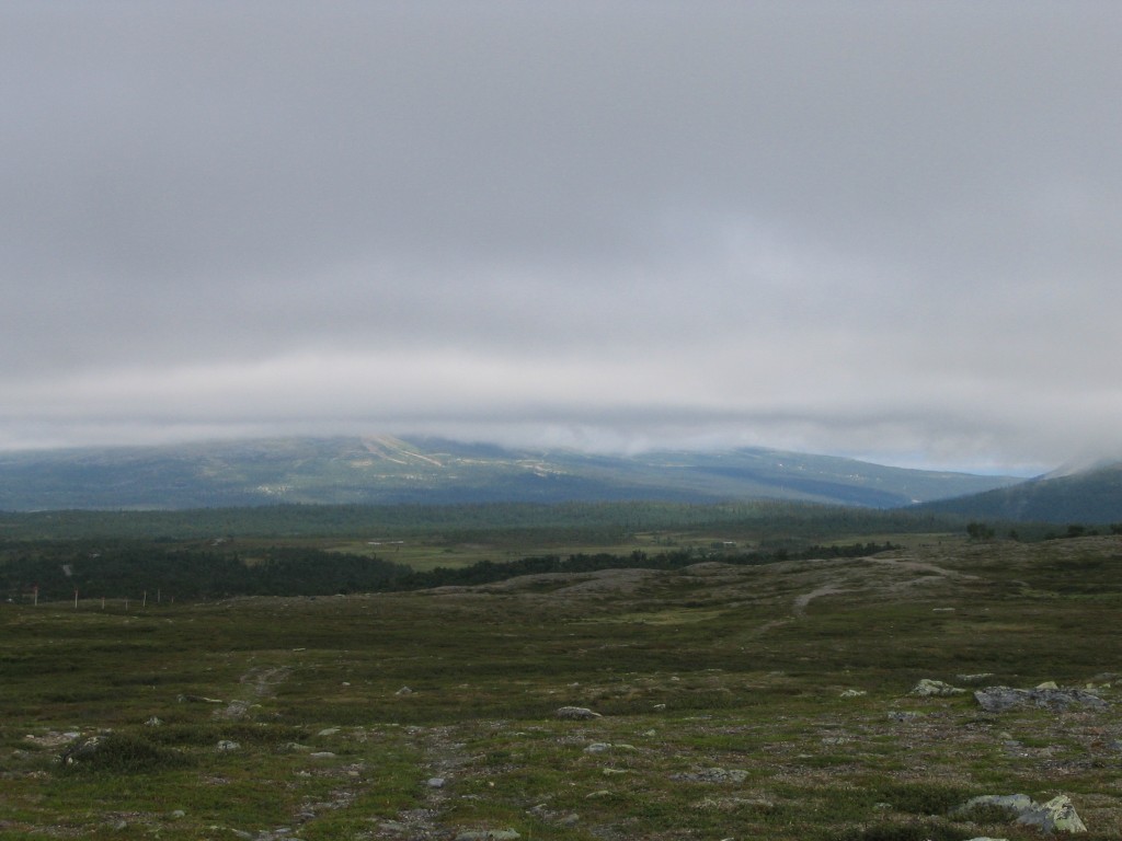
Hovdehögen coming into view...

...together with other fjelds
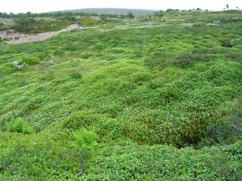
Multitude of cloudberry blossoms
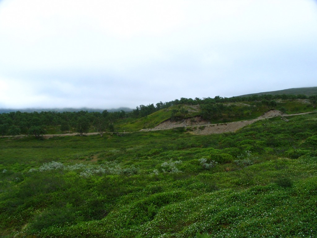
Back in forested regions
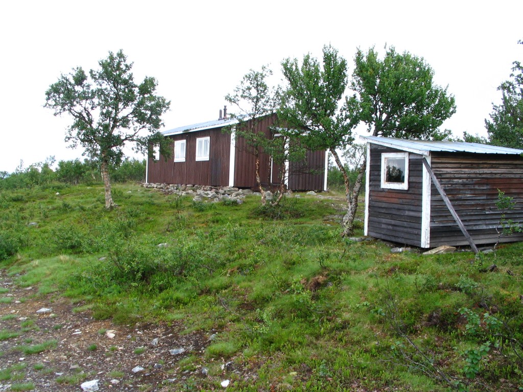
Fjällsta
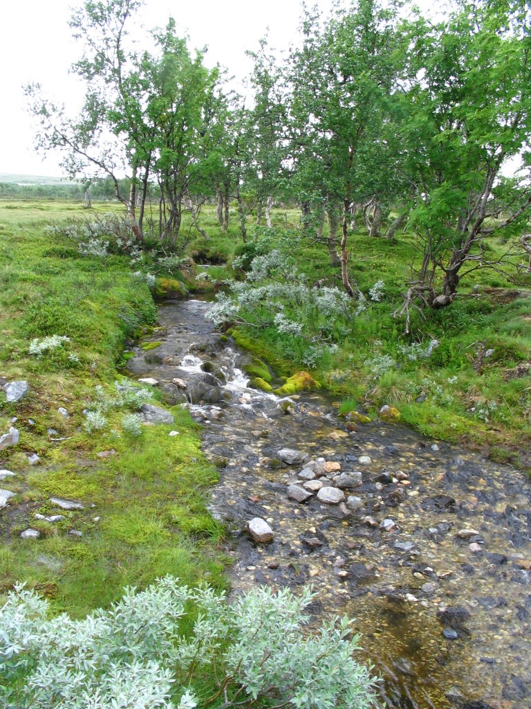
Classic fjeld brook

Lekarån at the bridge
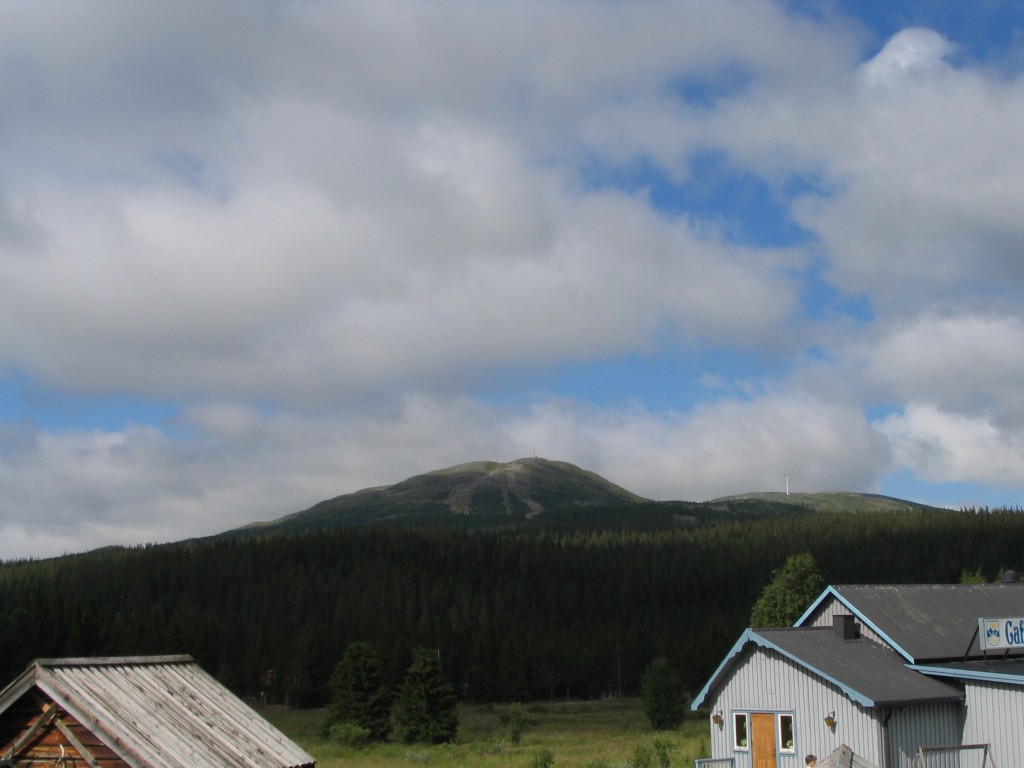
The top of Hovdehögen
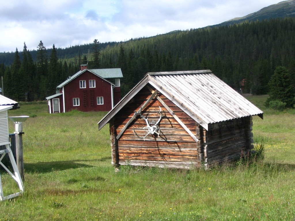
Cute building in Höglekardalen

Lekarån as a mirror
I went inside and ordered a hamburger, and then just sat down and relaxed. The last descent had apparently done something to my right knee; it had grown increasingly sore and was now painful enough to impede movements. Later, on my way home, I stopped several times to take photos of all that which was concealed the day before.

Dromskåran
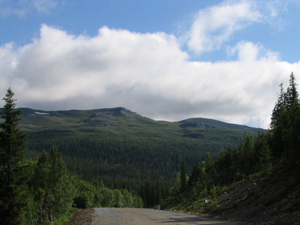
Looking towards Falkfångaren

Dalsjön beneath Drommen
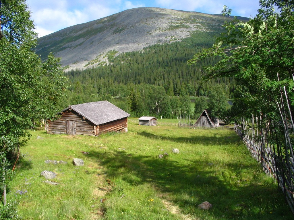
Hovdebuan

A better view of Dromskåran
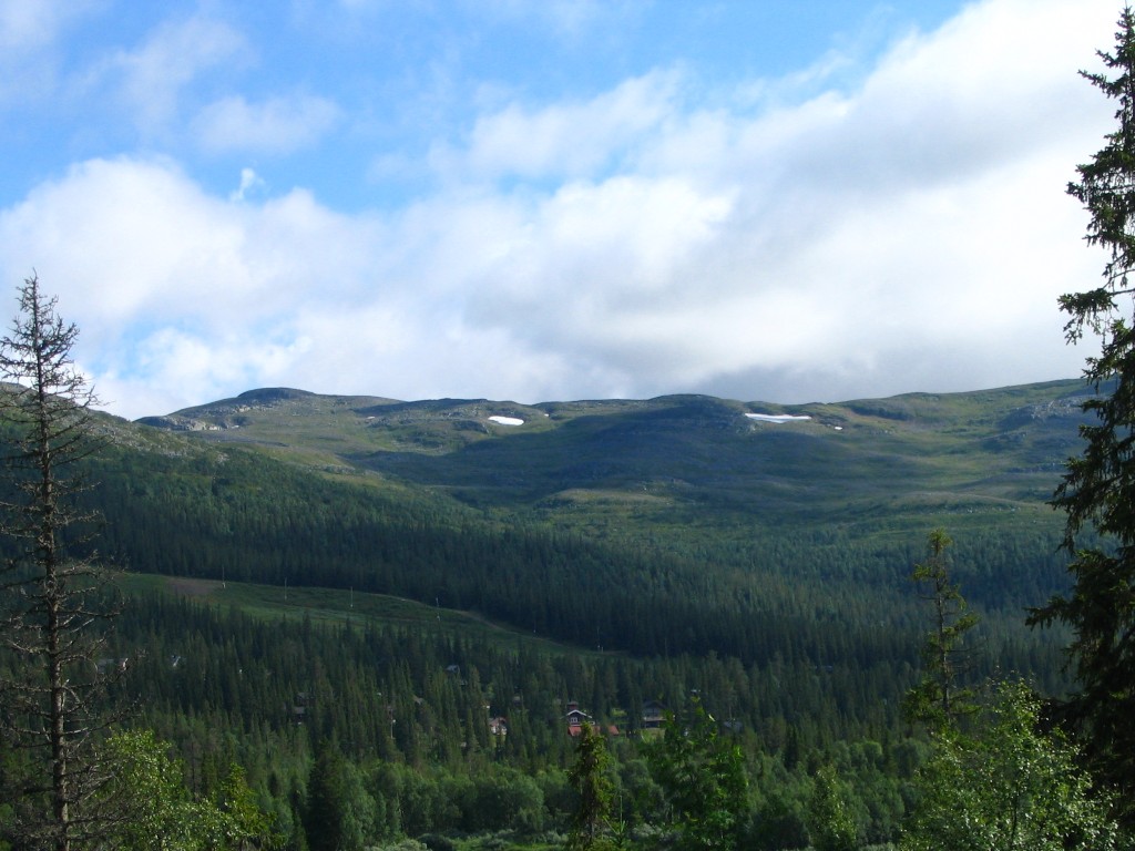
Drommen's ski slope

Close-up of Dromskåran

Offshoot of Drommen