Tuesday 10/9
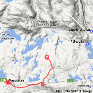
Bearpmit – Vassijaure
| Horizontal distance: | 13.5 km |
| Vertical distance: | +60 m, -180 m, +80 m |
| Time: | 4 h 30 min |
| Lunch break: | 30 min |
| Dinner: | – |
| Night accommodation: | – |
| Stage classification: | Easy/Medium |
The night sky was clear and full of stars, Dave, and the wind had mostly petered out, but come morning everything was covered in a dense fog. This, I thought, ruled out the option of making an early start and aiming for the forenoon bus from Vassijaure, seeing as how it would require a brisk pace along a path that might not be too clear, for which full visibility was much preferred. Instead I slumbered my way through the early hours of morning, and just when I got up at 8 the sun broke through the mist, which appeared to be dissipating. This was just temporary, however, for soon it was thicker than ever, but it also gave a feeling of serenity to the scene. The tent was, of course, very wet, so after having breakfast I dried it as best I could with the towel, and then prepared to leave. This I did at 10:45, wearing the jacket against the chill of the fog.
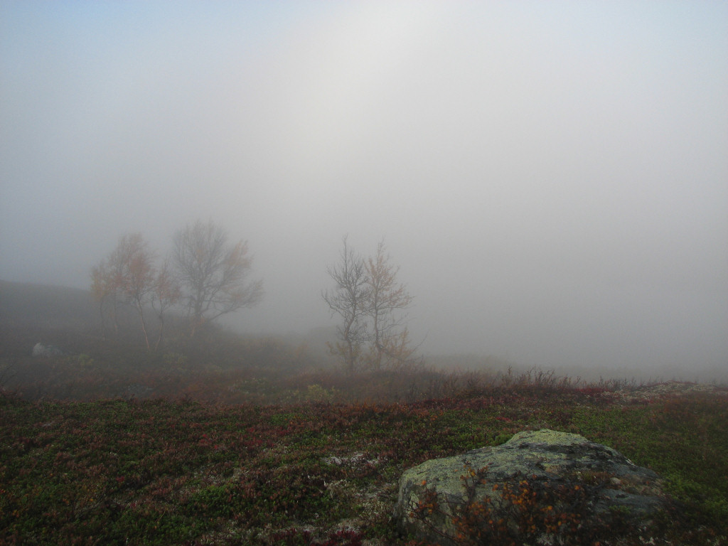
Fog in the morning
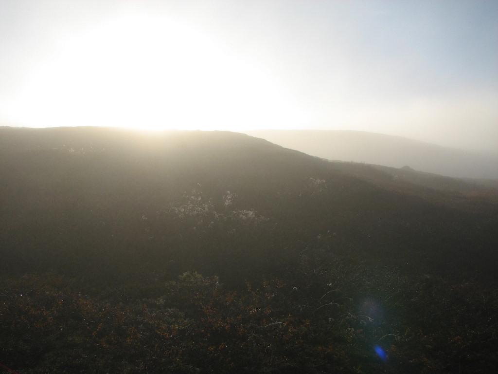
Solar breakthrough
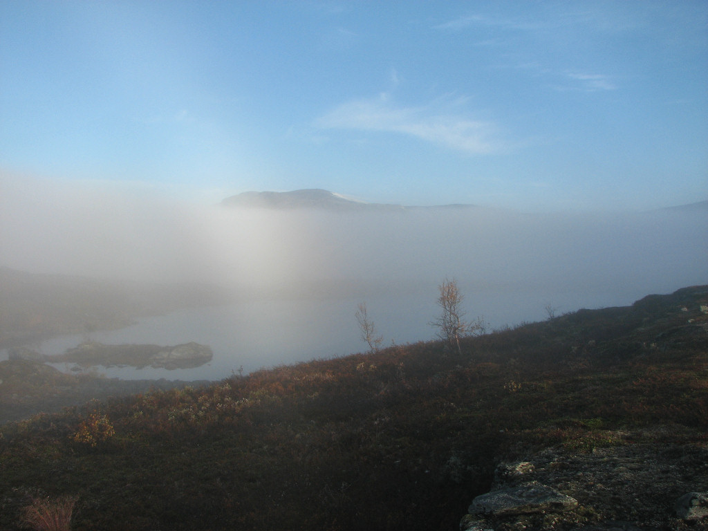
Lifting
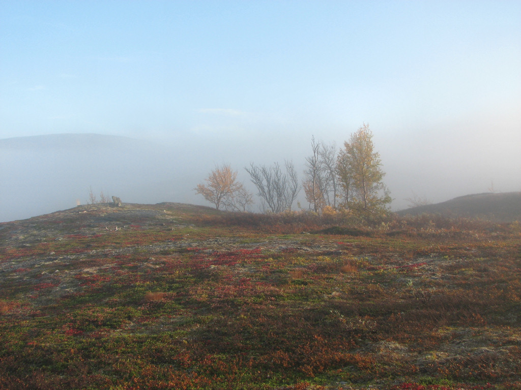
Light growing
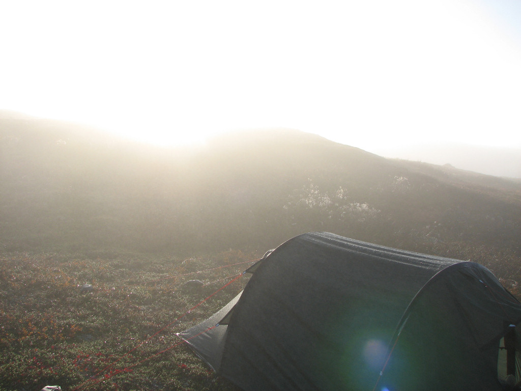
Sun on the soaked tent
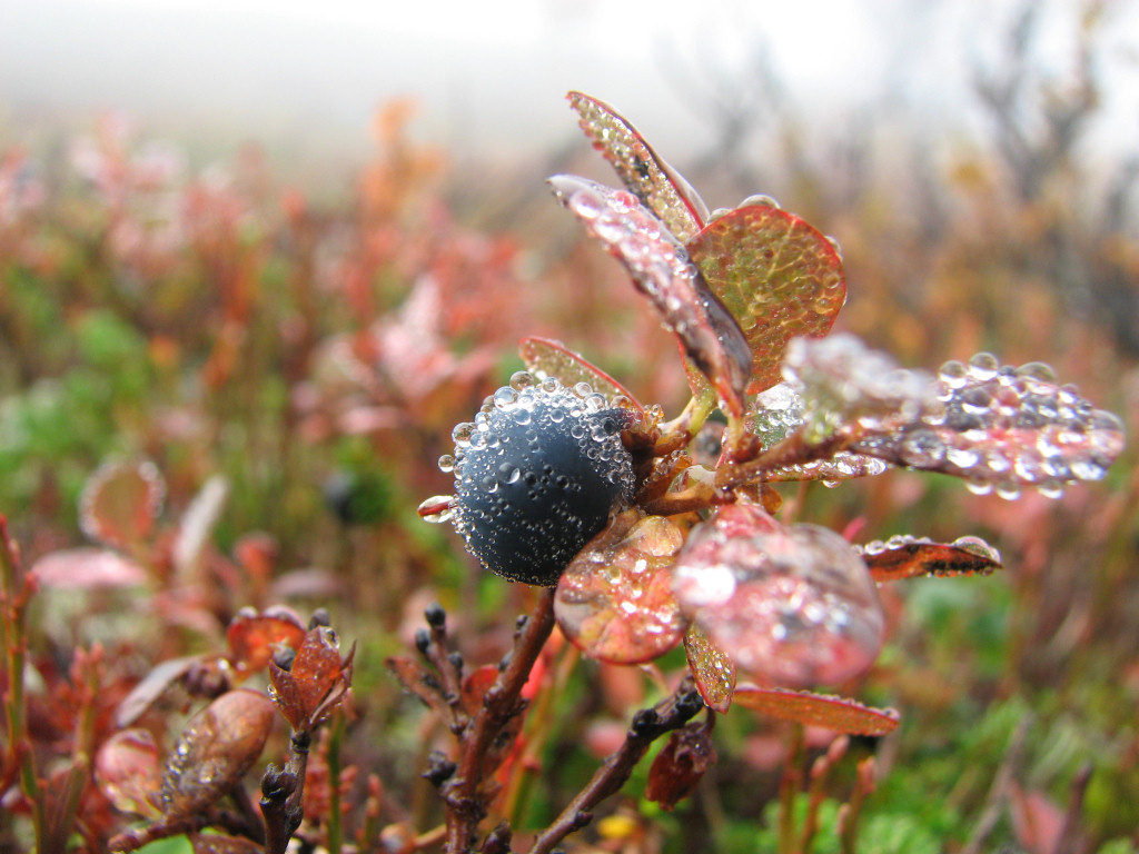
Blueberry plants...
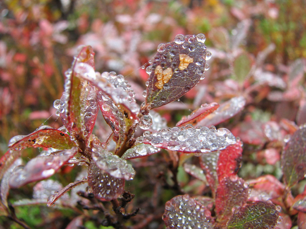
...covered in drops
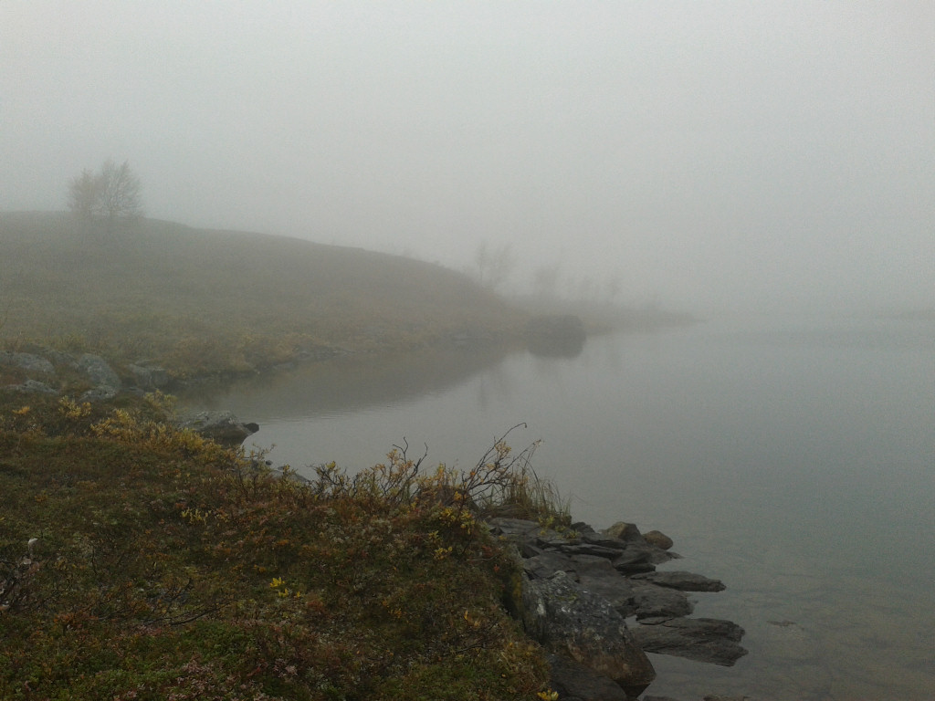
Back to deep haze...
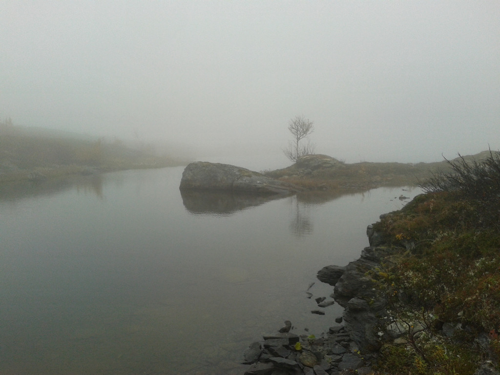
...down by the water
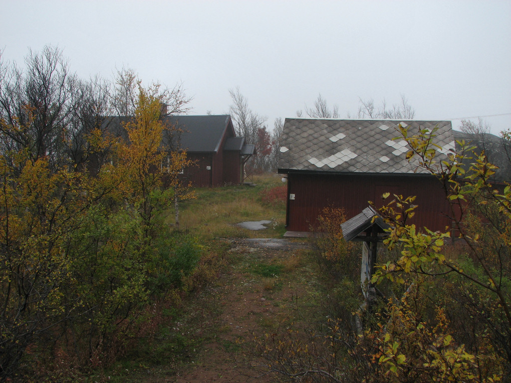
I went straight up the slope behind the tent, aiming for the trail, and was fooled by the scale of things half-visible in the haze. Just when I thought that I should have reached the path I stepped right on it, and found it clear and well-marked still. Higher up the fog was lighter, but it never lifted, and I kept a careful eye on the map. The were more signs of the mining days of yore around, and after a few holes right by the path I saw something which looked like turrets in the mist ahead, but it turned out to be the chimneys of rather a large and whole-looking building; it is marked on the map, but I was half expecting another ruin, although perhaps not quite as deteriorated as at Sjangeli.
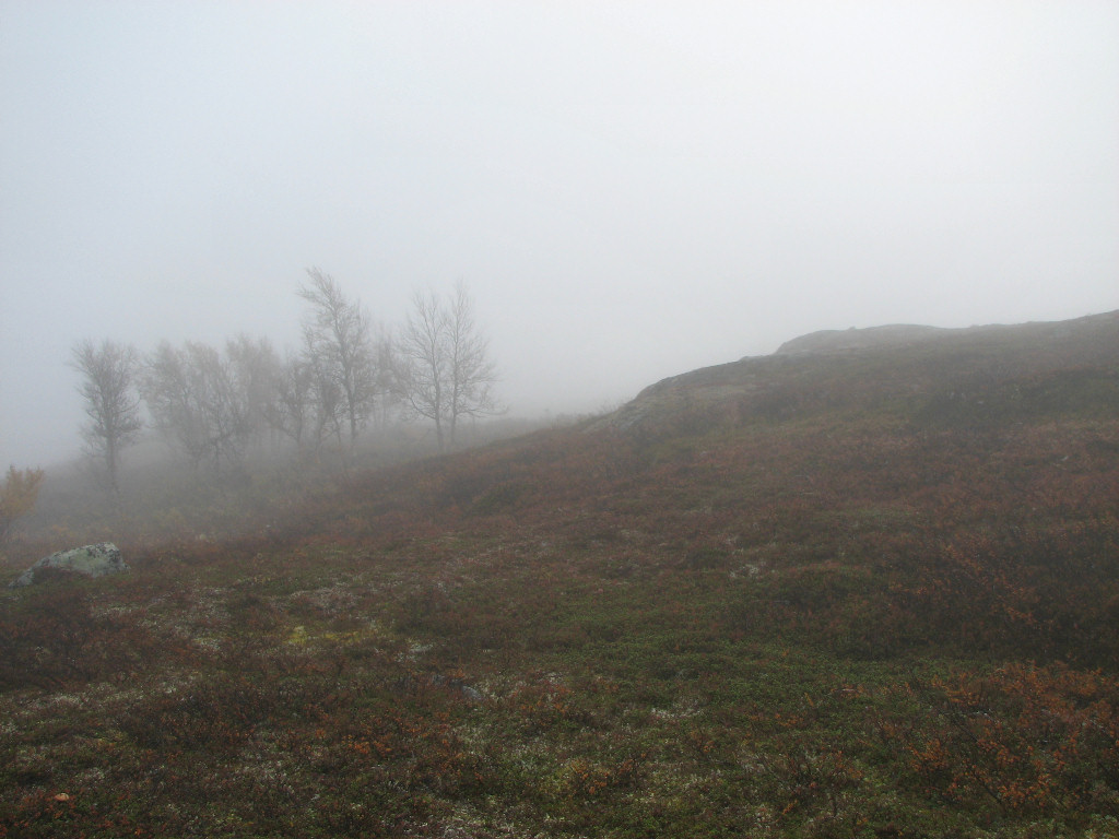
Into the mist!
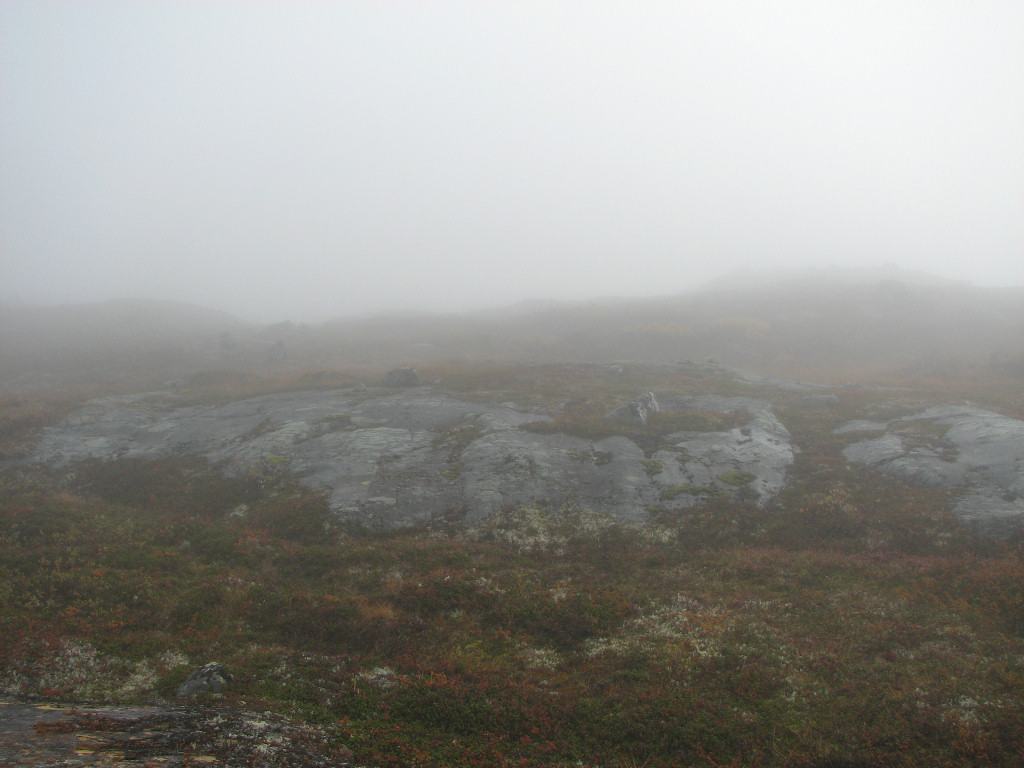
Up
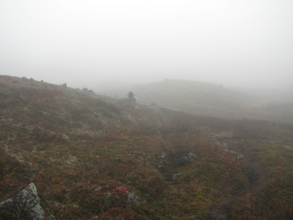
Found the trail
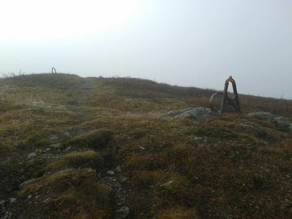
More proof...
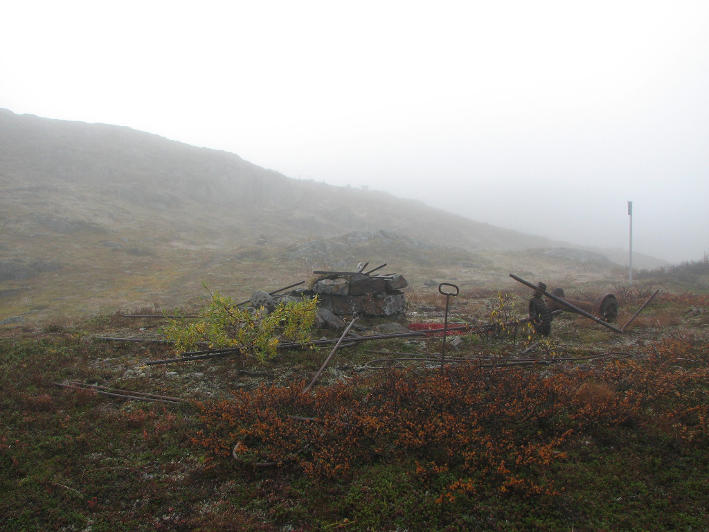
...of the workers...
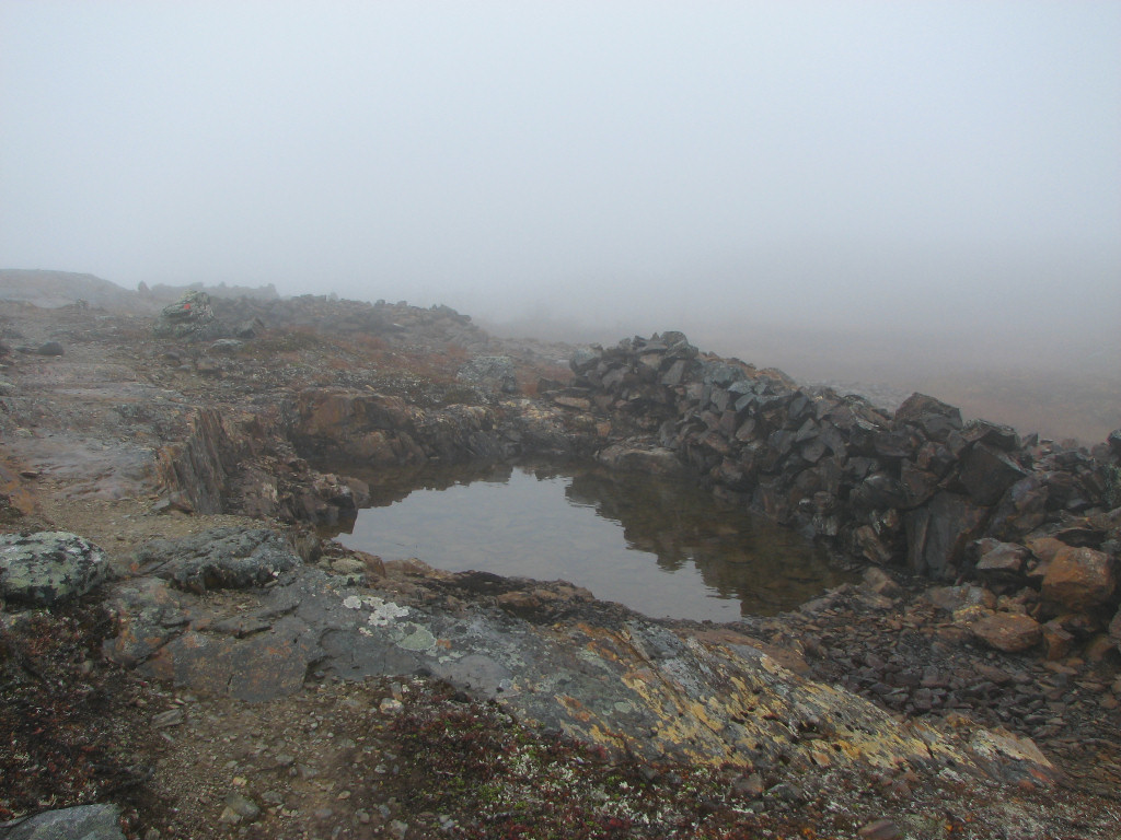
...of the olden days
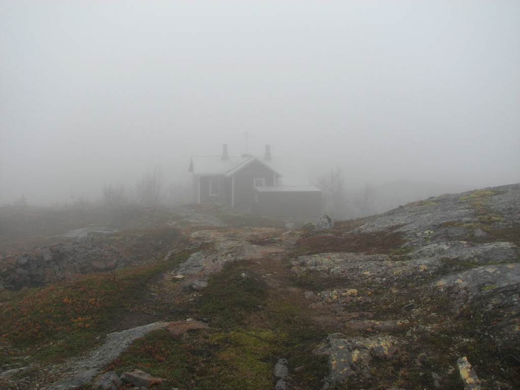
Hey, it's a house!
After snoping around the place, which was both empty and locked tight, I turned onto the path to Björkstugan, which was both marked and indicated with a sign. At least at first, for I hadn't walked for long before I lost what little remained of the path as well as the cairns in a rocky area, and since the fog was as dense as ever I didn't fancy wandering around looking for it. It was clearly compass time, and unfortunately I had that strange feeling that "it must be wrong", which after the return of rational though always resolves into "no, it's really not". Since my phone has a built-in GPS I whipped that up, and after comparing satellite imagery with the map I ascertained both my own position and my desired heading, set the compass accordingly, and walked off.
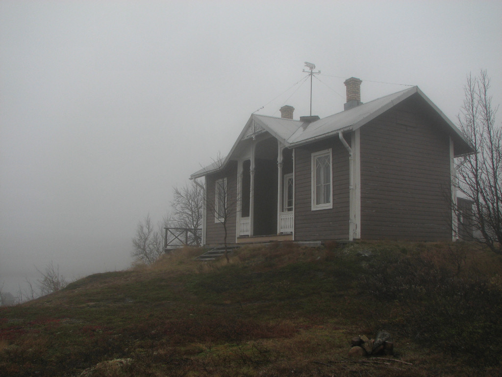
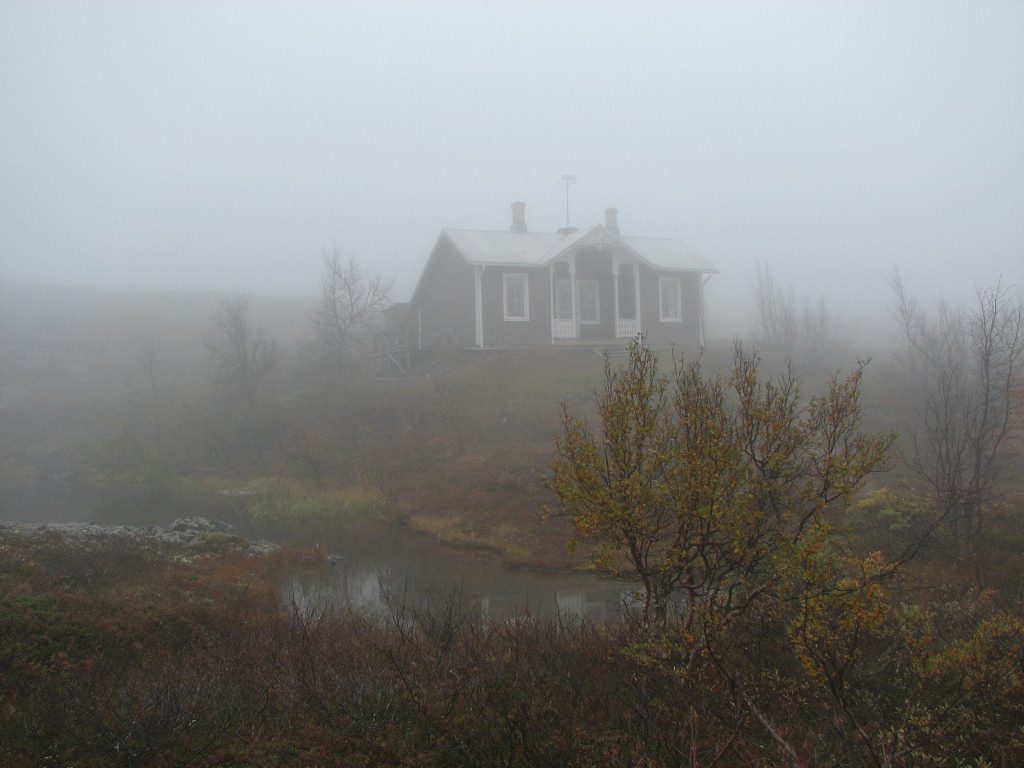
Because of the fog and obstacles along the way I employed the landmark technique, covering short distances at a time and then reorienting with the compass, and another quick GPS check confirmed that my heading was exactly what I wished it to be (I didn't have too much battery left, so I relied on the more low-tech compass instead). It wasn't too long before I reestablished contact with the path, some distance before where I expected to do so judging from the map, and since it was now clear again as well as marked by sizeable cairns I put away the compass for the time being. The fog was heavy, though, and it wasn't until I was nearly upon the bridge at Lumsaluoppal that I learnt that it actually existed; seeing as how this path is not an official trail, that was not a given.
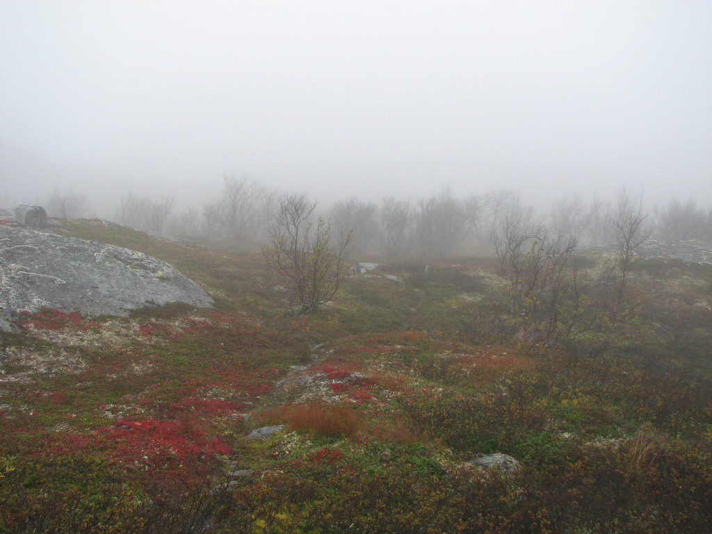
On the path again
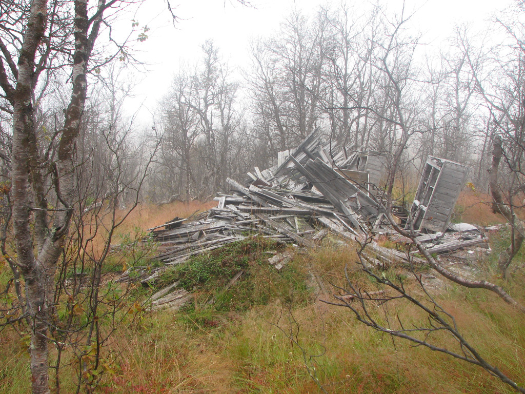
Not in as good a condition
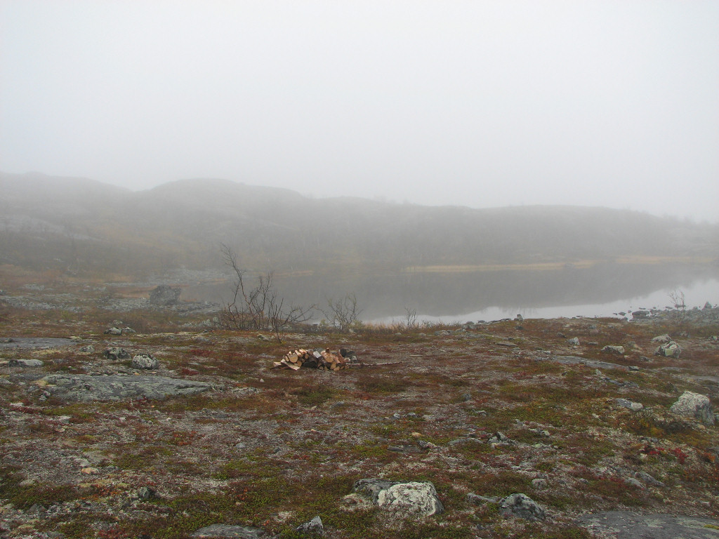
Water
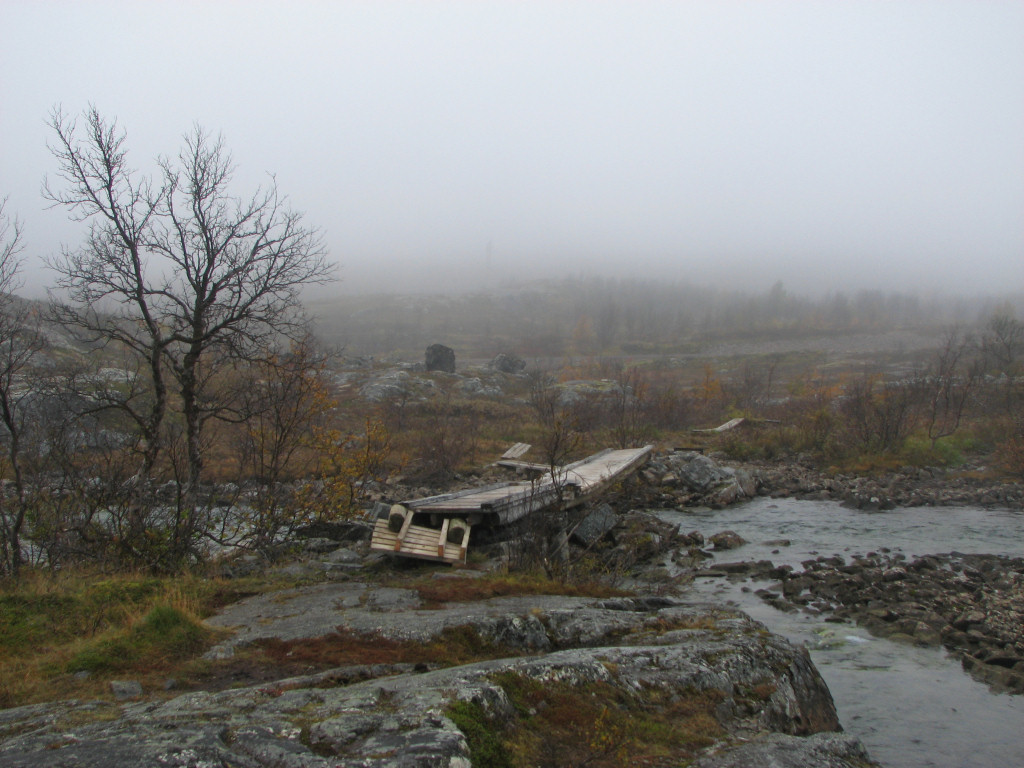
Yep, a bridge (of sorts)...
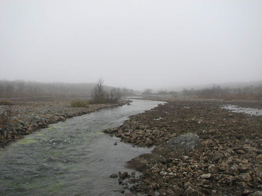
...over this
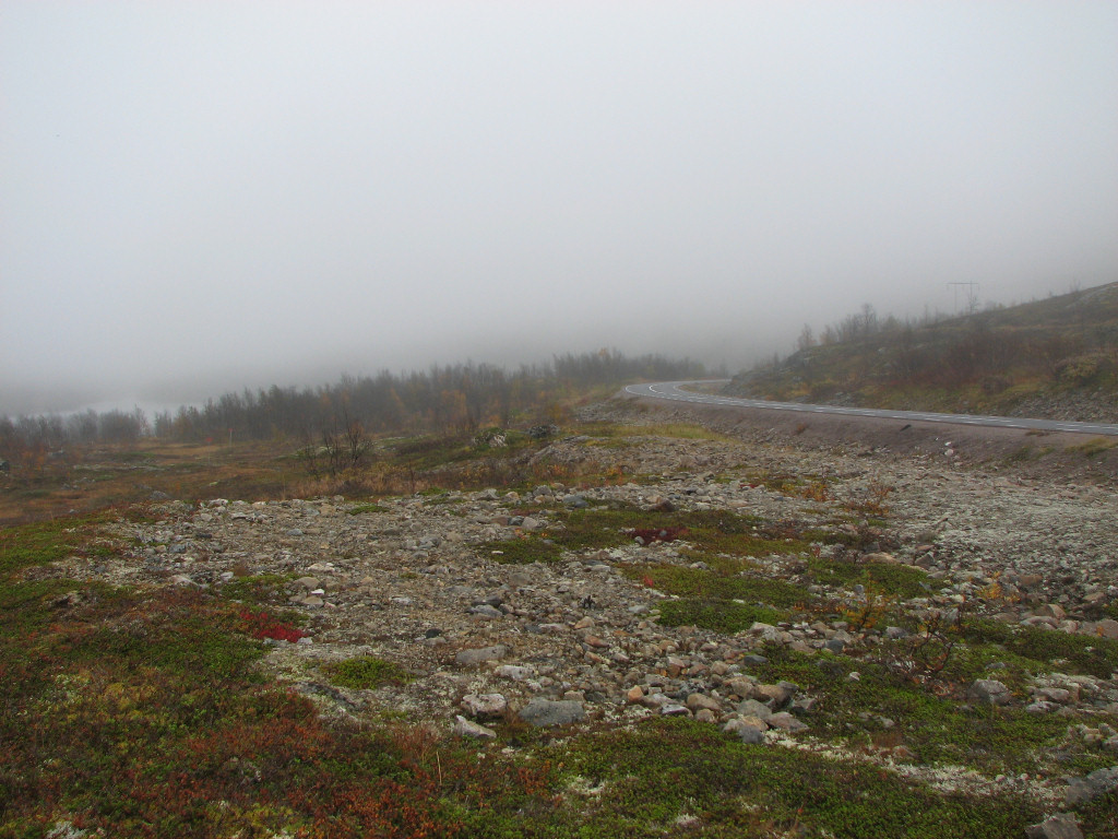
Back at the road
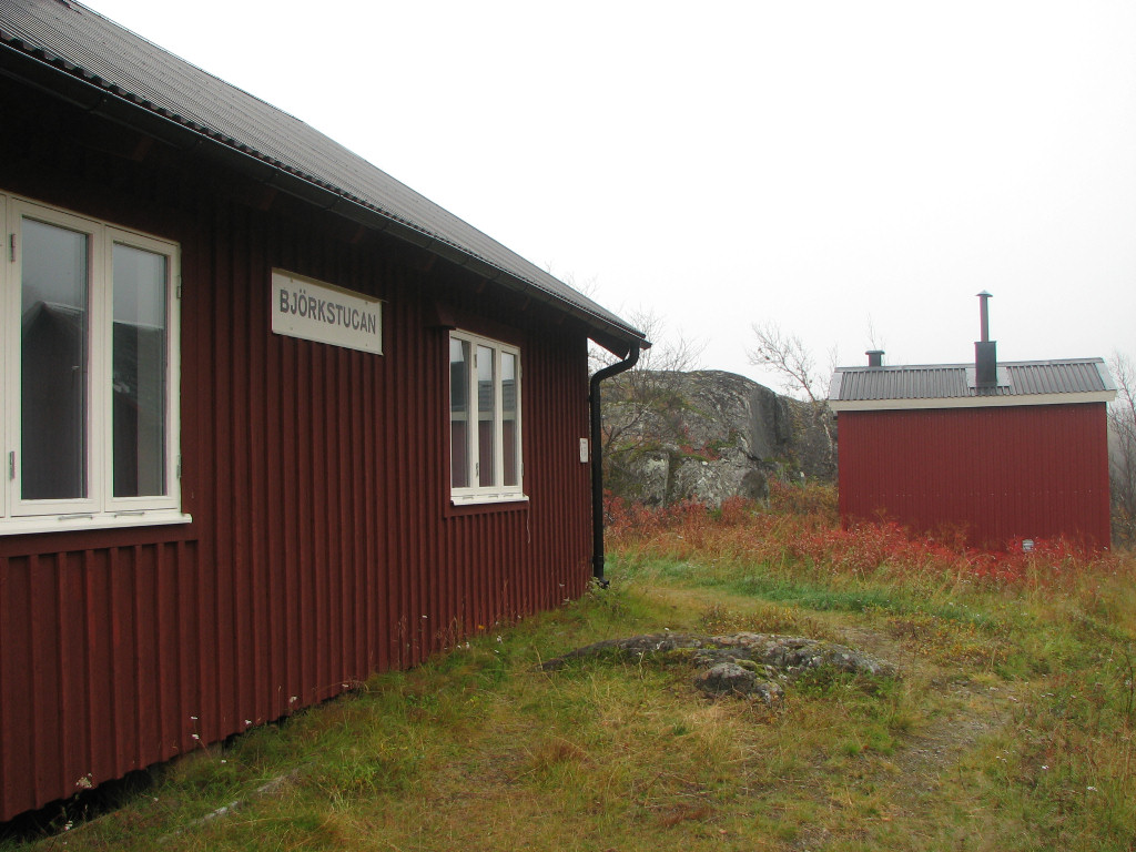
I had now reached the E10 road, on the other side of which I came upon Rallarvägen (Navvy Road). I followed another path up the slope to Björkstugan, which is an old residence building from the time of the construction of the railroad. This was pretty modern-looking, and also empty and locked, so I sat down on its porch to have lunch at 12:45. The fog appeared to be in the form of a light drizzle here, but not enough to warrant any change in clothing. I had plenty of time until I needed to be in Vassijaure – a distance of about 7 km – so I thought I might as well try my hand(!) at hitch-hiking first, in case I could acquire an earlier ride back to Abisko. There weren't many cars on the road, however, and after having been passed by by eight (plus a motorcycle) during 20 or so minutes – including one the smiling driver of which gave me a thumbs-up – I decided to call it quits and just start walking.
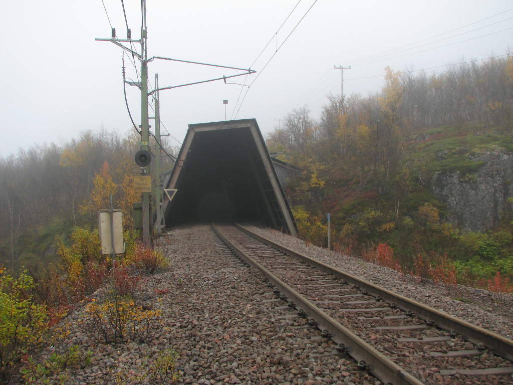
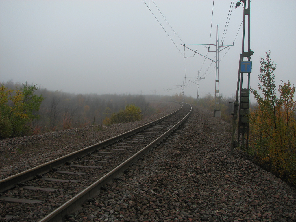
The path was narrow at first, and the overhanging bushes to the sides made my legs wet. This was followed by a slanting portion right beside the road which was a bit taxing to walk, but once back in the forest it got better and I could hold a good tempo. Suddenly the vegatation turned lush, and as expected there were old ruins beside the path – more remnants from the navvies of old. At Loktajohka there was a nice-looking wind shelter and an information sign, after which the path was good and wide – it looked like the sides had been mowed. It then passed the railroad, which required careful attention since not much of it was visible in either direction, and passed to higher, open ground. I could see the Låktatjåkka station down in the fog – as well as a passing ore train – and some distance later it was back across the tracks.
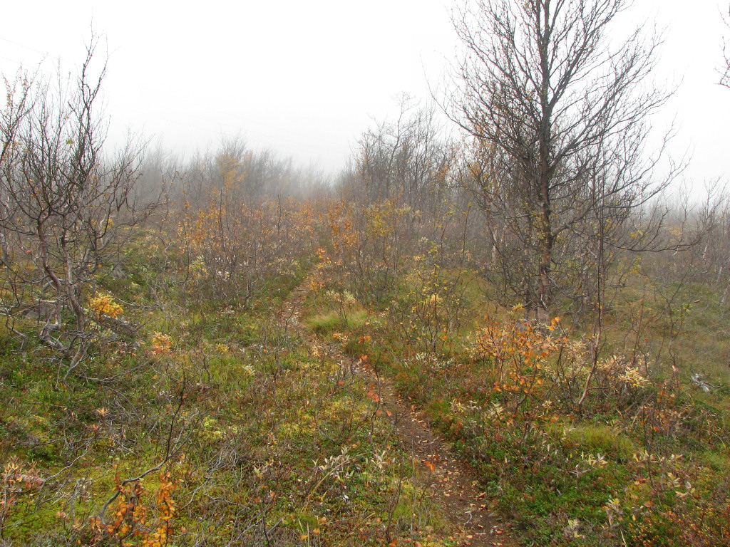
Starting the trek on Rallarvägen
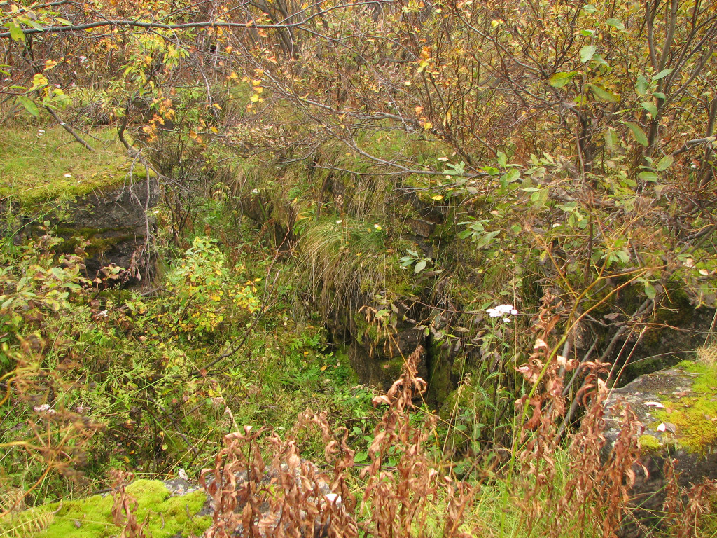
Ruins
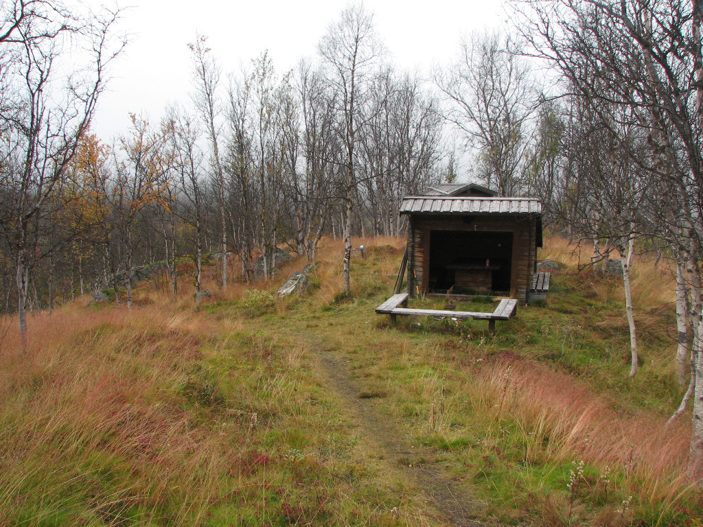
Non-ruins...
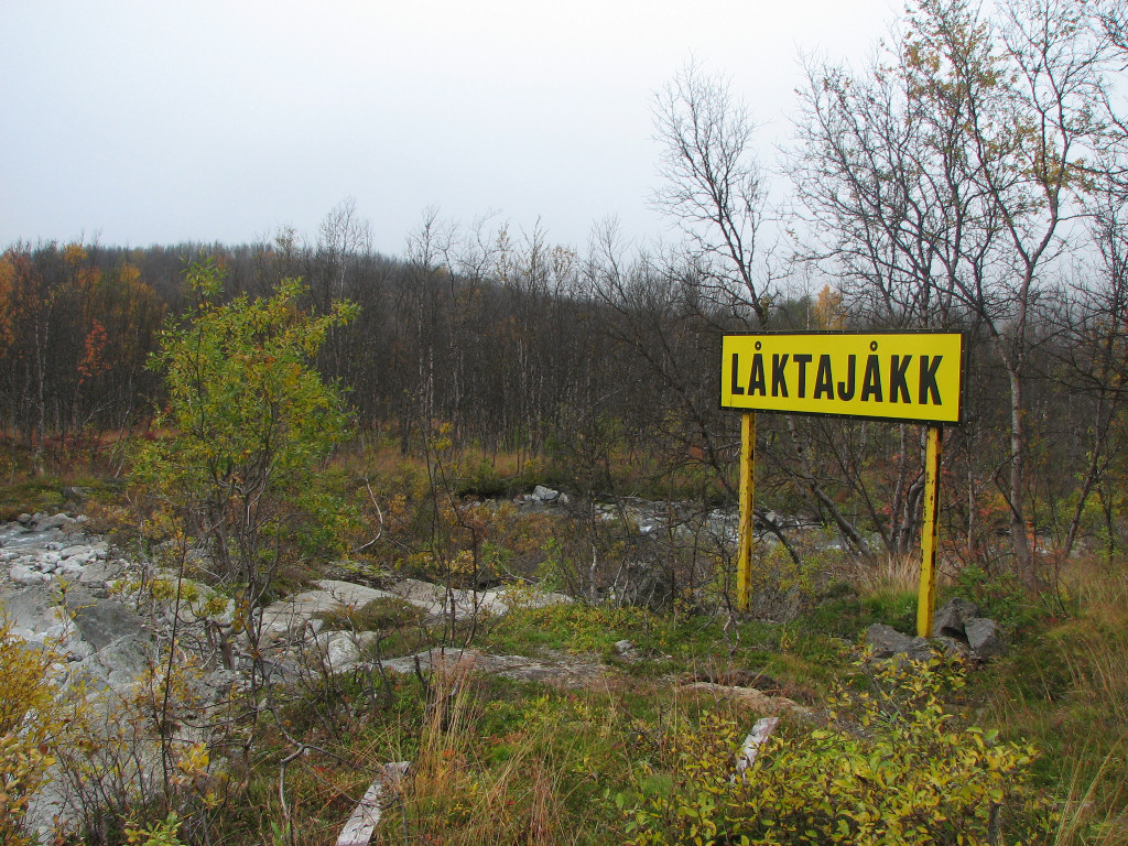
...and a big sign...
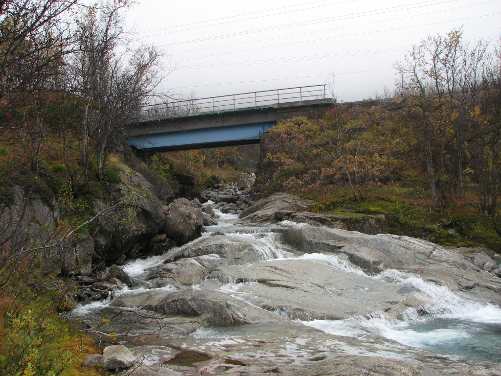
...at Loktajohka
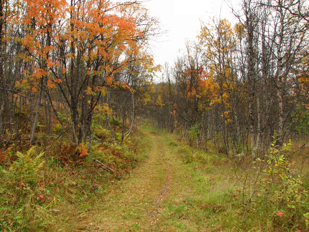
Good path
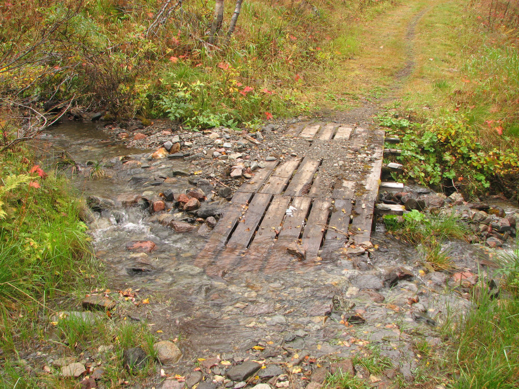
Fail
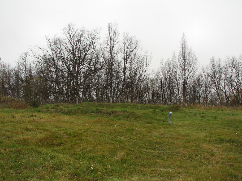
More ruins
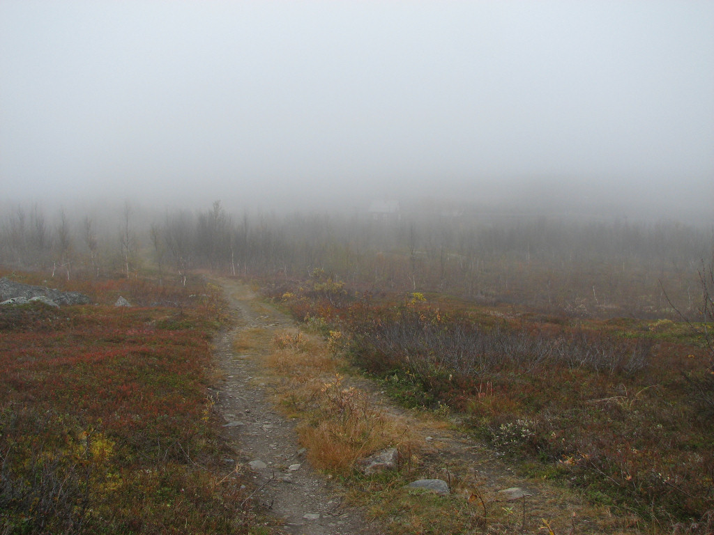
Through the fog above the Låktatjåkka station
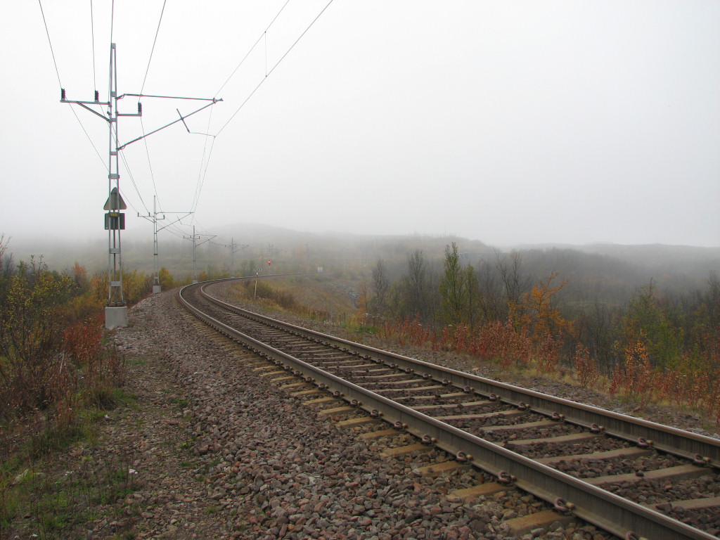
Going over
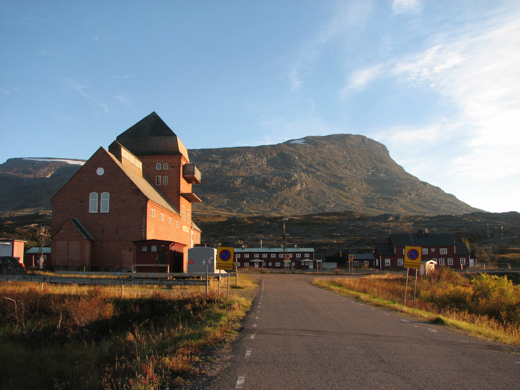
There was a dirt road on the other side of the bridge over the stream from Gearggevággi, and I followed this up to a house that lay immediately beside the rails, which like the others appeared devoid of occupants. I passed beside a snow tunnel and then crossed the tracks to another path which led to another house, beyond which there was another dirt road up to a reindeer paddock – similarly devoid of occupants. From there I made my way to yet another dirt road, which finally led to the conglomeration of red buildings that constitutes Vassijaure, dominated by its imposing station building, which I walked up to in weak sunlight at 15:15.
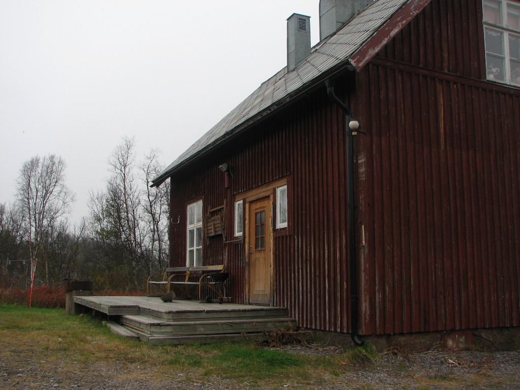
No one home
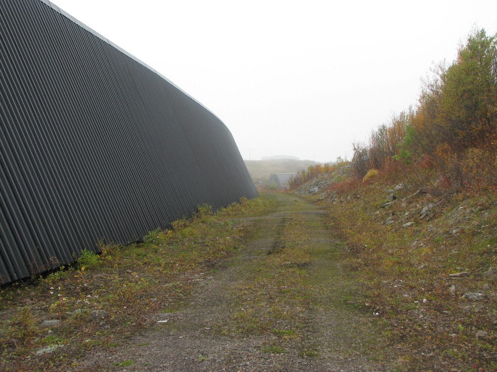
Beside the tunnel
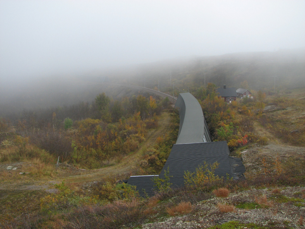
Above another tunnel
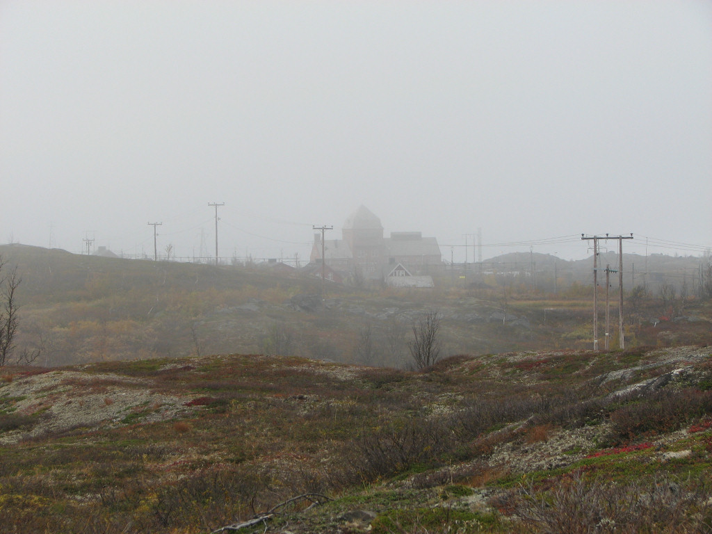
Approaching...
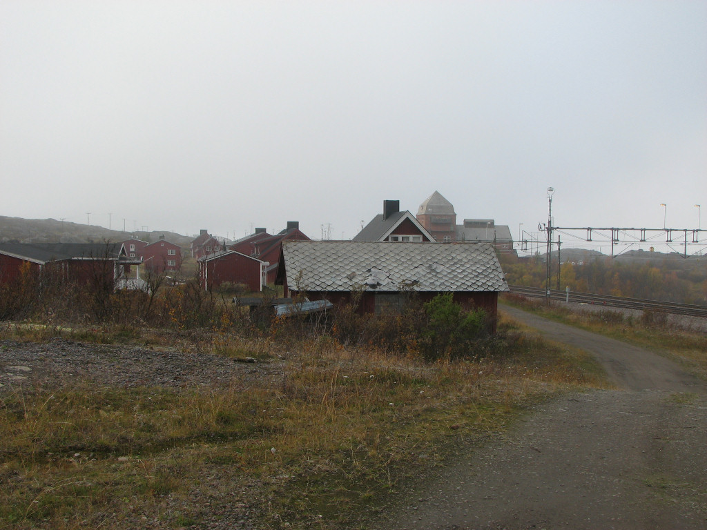
...Vassijaure
There was no one around, even though there was a sizeable mobile home camping nearby. As I walked around the sun broke through more and more, and the fog finally dissipated – kind of late, if you ask me. I sat on a bench outside enjoying the warmth when suddenly a loud crack and a bright arc of light appeared at the top of one of the power poles beside the railroad, but it disappeared just before I could get the camera up.
An ore train was just appearing around the closest bend, but it passed by unaffected, but then I noticed that a box of some sort up there was burning with an open flame and thick smoke. That obviously wasn't right, so I dialled 112 for good measure and described the events and current situation. Before anyone could arrive it put itself out, and then a technician from Katterjåkk came by to have a look, followed by a small response team from Abisko. Apparently a part of the power reclamation system (that kicks in when the trains brake) had burnt through, and by chance a loose cable end had fallen onto a light fixture – the "box" – which was pretty much the only other thing up there among all the metal that could actually burn.
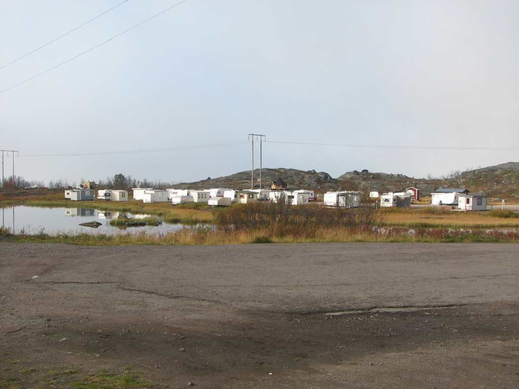
Vassijaure camping
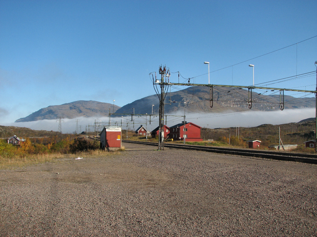
Fog moving off
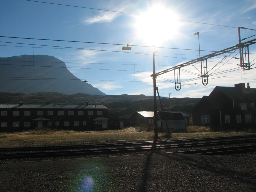
Sun!
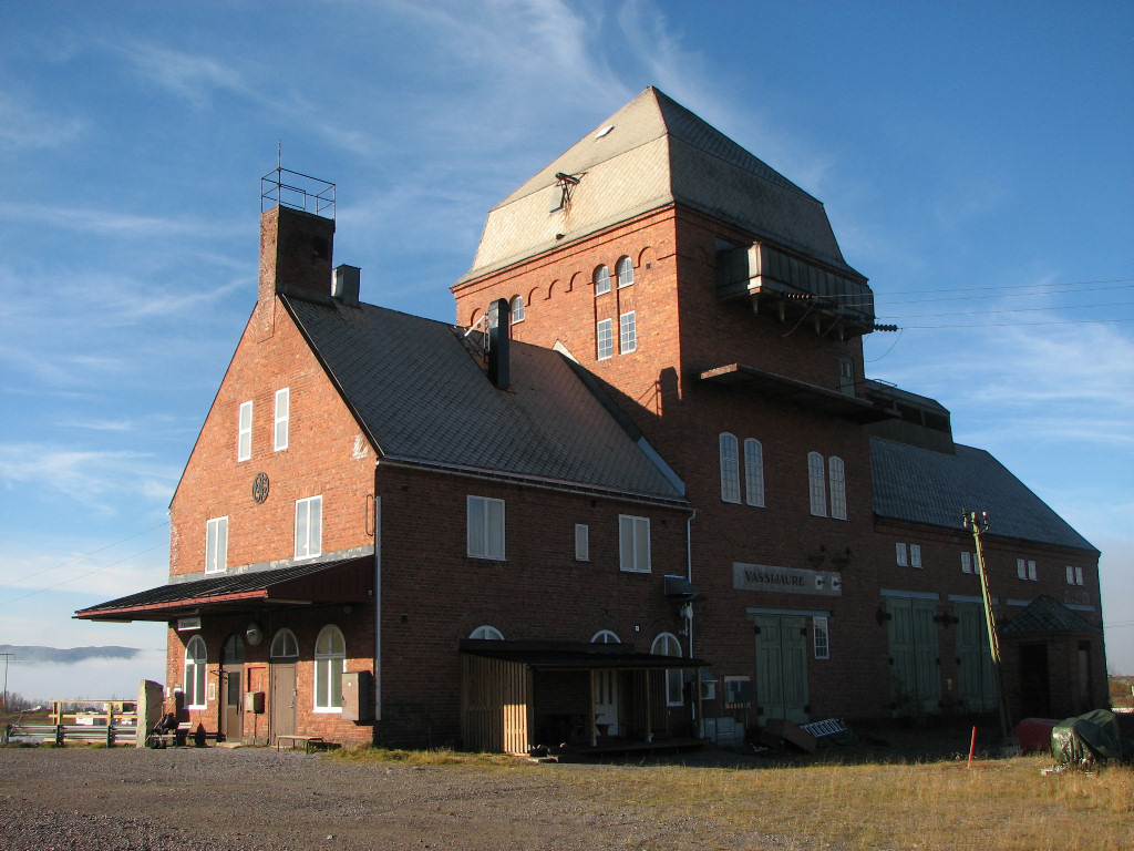
Vassijaure station
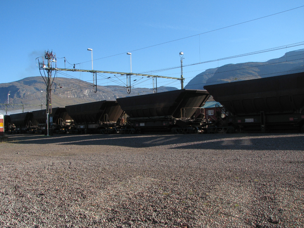
Passing ore train (notice smoke)
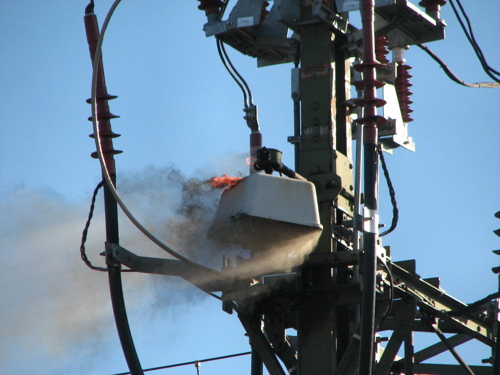
Fire in the... lamp
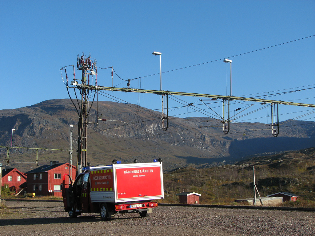
Responders
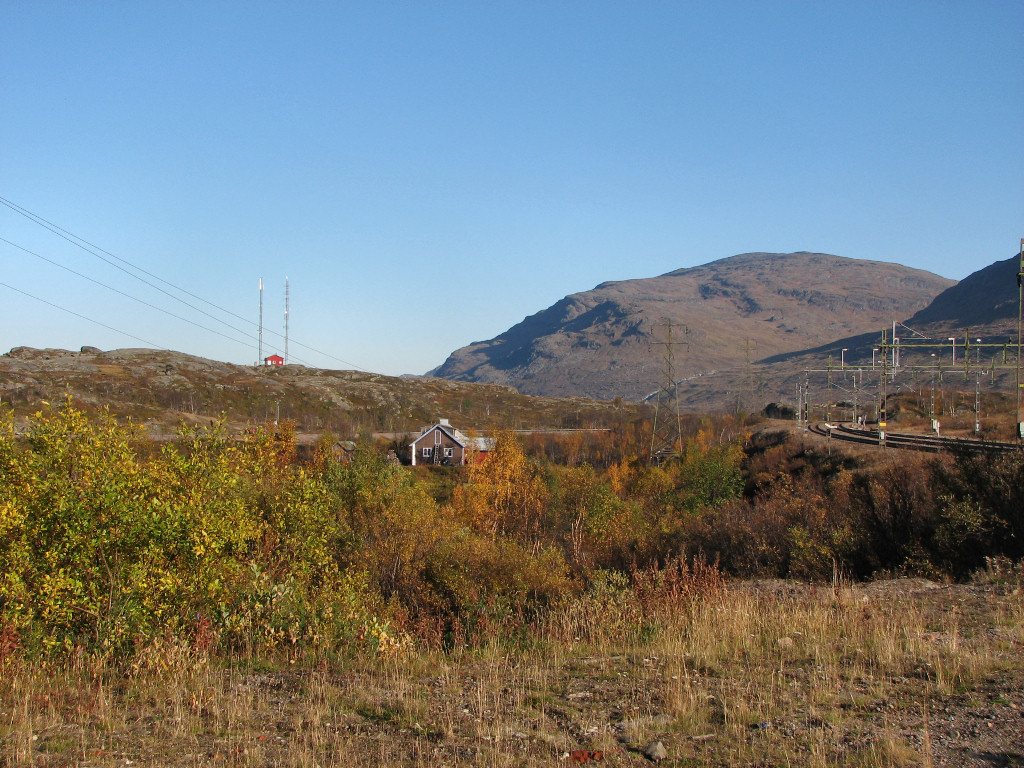
Clear
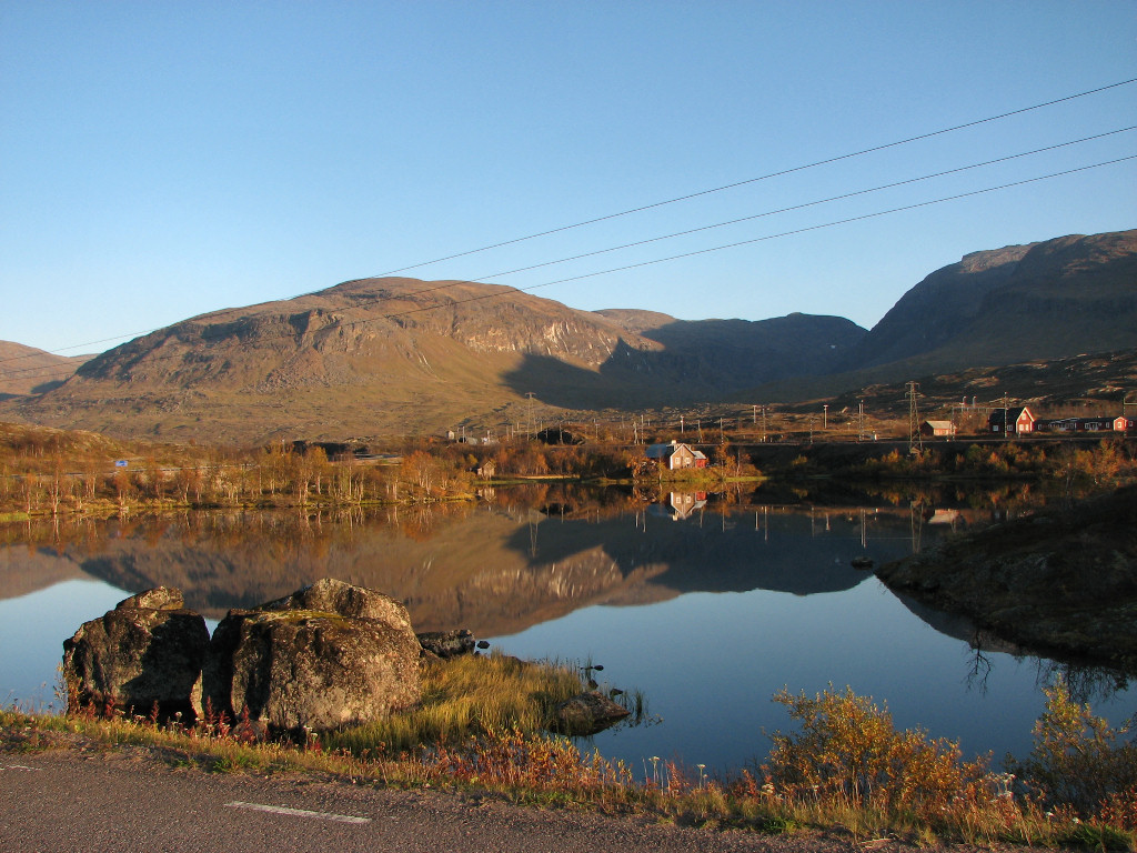
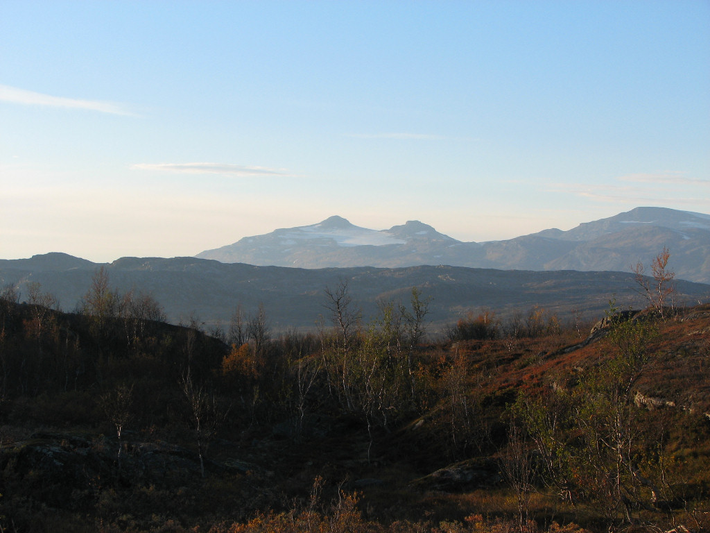
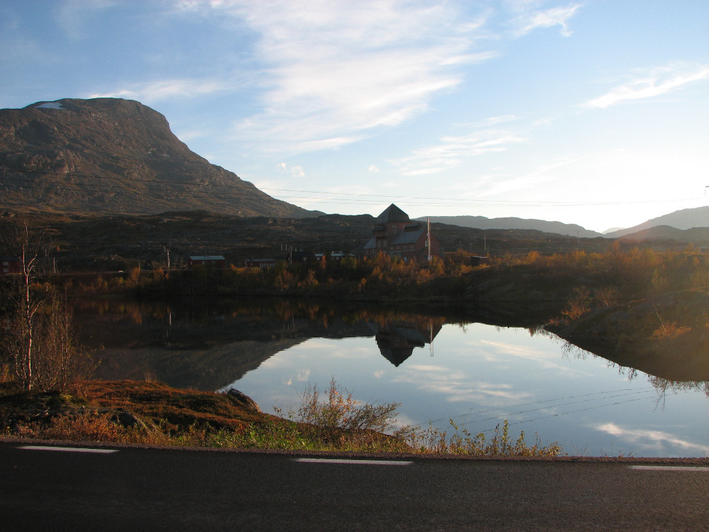
While they made calls back and forth to get hold of people who could repair the thing – as well as to stop all trains going through, lest it happen again, possibly with worse consequences – I returned to my idling on the bench. There were a couple of nosy foreigners around, as well as a couple with a baby, but everyone soon left and I was alone again. I ate most of what was left of my food pack out in the sun, and after reading a bit I packed up and walked down to the car road, where I was to take the evening bus from Narvik. It arrived on time, and I was the only one on it – and this time there was no free ride. Now that the fog was gone I was treated to some very nice evening views during the journey, but before we reached Björkliden the whiteness returned, where it hung mysteriously over the forest, but before the border of Abisko National Park it lifted once more. It was 19:15 when I returned to the tourist station, opting to go straight home and have a late dinner.