Facilities › All facilities › Syter

Syter

Picture of Syter

STF cottage site

Region:Vindelfjällen
Location:Syter
On trail:Kungsleden
Coordinates:65°53'32"N, 15°23'52"E
Altitude:700 m
Fjeld map:AC2
Accommodation:30 beds
Service:

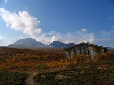
Two cottages beside Svärfarbäcken with N Sytertoppen and Morhtetjåhke as a backdrop. The older cottage was erected in 1923 to serve as a base for ascents of N Sytertoppen, which at 1767 meters is the highest mountain in Västerbotten county, and not surprisingly such tours are still popular. There is a marked summer trail for that very purpose, and it is possible to continue along this trail to Viterskalet after passing the summit. The shop that has previously been here was retired during the summer of 2020.

Approximate distances
Viterskalet12 km
Forsavan12.5 km
Tärnasjö14 km
Norra Fjällnäs18 km
Solberg19 km
Laisaliden21 km
Umasjö22 km
Jirestugan24 km
Glimmerstugan27.5 km
Syterskalet6 km
Sytertoppen9 km
Stabre10 km
Vallentjåkke11.5 km
References
Vindelfjällen 2006Day 6
Vindelfjällen 2019Day 2
STF website