Thursday 27/8
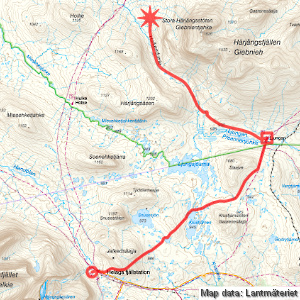
Helags – Stora Härjångsstöten (via Ljungan/Holkendurrie)
| Horizontal distance: | 20.5 km |
| Vertical distance: | +100 m, -160 m, +30 m, -50 m, +30 m, -70 m, +70 m, -40 m, +50 m |
| Time: | 6 h 45 min |
| Lunch break: | 1 h |
| Dinner: | Thai chicken with rice and vegetables |
| Night accommodation: | Tent |
| Stage classification: | Easy/Medium |
| Map points: | Helags, Ljungan |
After spending a fair bit of time in a semi-slumbering state towards the end of the night I got up at 7, finding that the sun was on its way in a semi-clear sky and that there was no wind. There were a few other people up as I made my way across the stream once more and entered the guest kitchen where I had left my foodstuffs. Upon retrieving them, however, I discovered that someone had flat out stolen half the butter – and this was in a sealed container in a sealed bag! It looked like between what remained and the cream cheese (which was untouched, as was the hard cheese and the salami) I would still have enough to get me through the tour, but not cool, man, not cool!
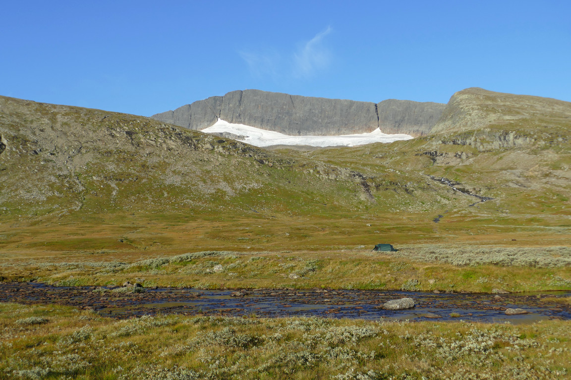
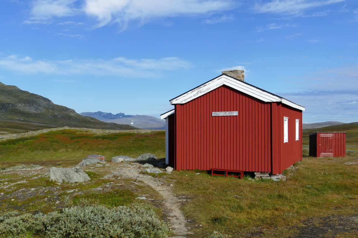
I had my breakfast out on the little porch of the building which was currently in shadow, but that was actually good as it made the temperature quite comfortable. Once back at the tent I struck the selfsame, and the shifting clouds together with a bit of wind kept comfort levels in place. I was ready to leave shortly after 09:00, and splashed across the stream one last time while the first summit tours of the day were just getting started.
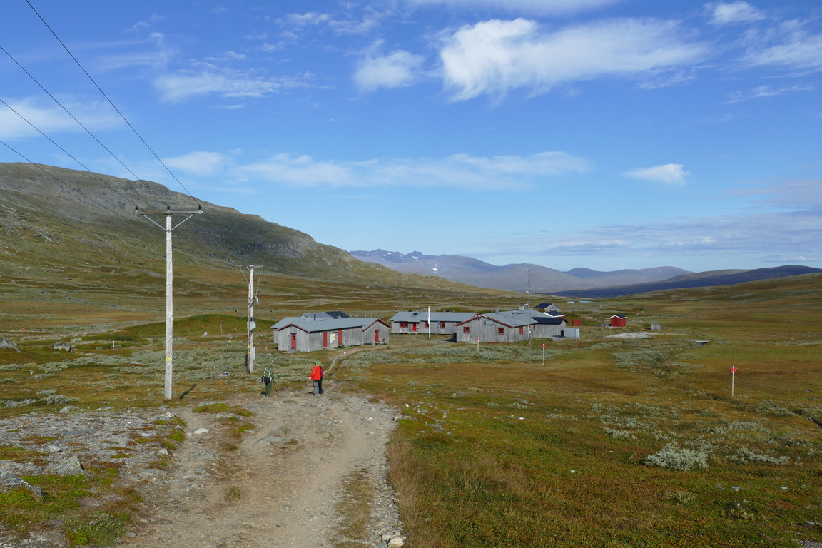
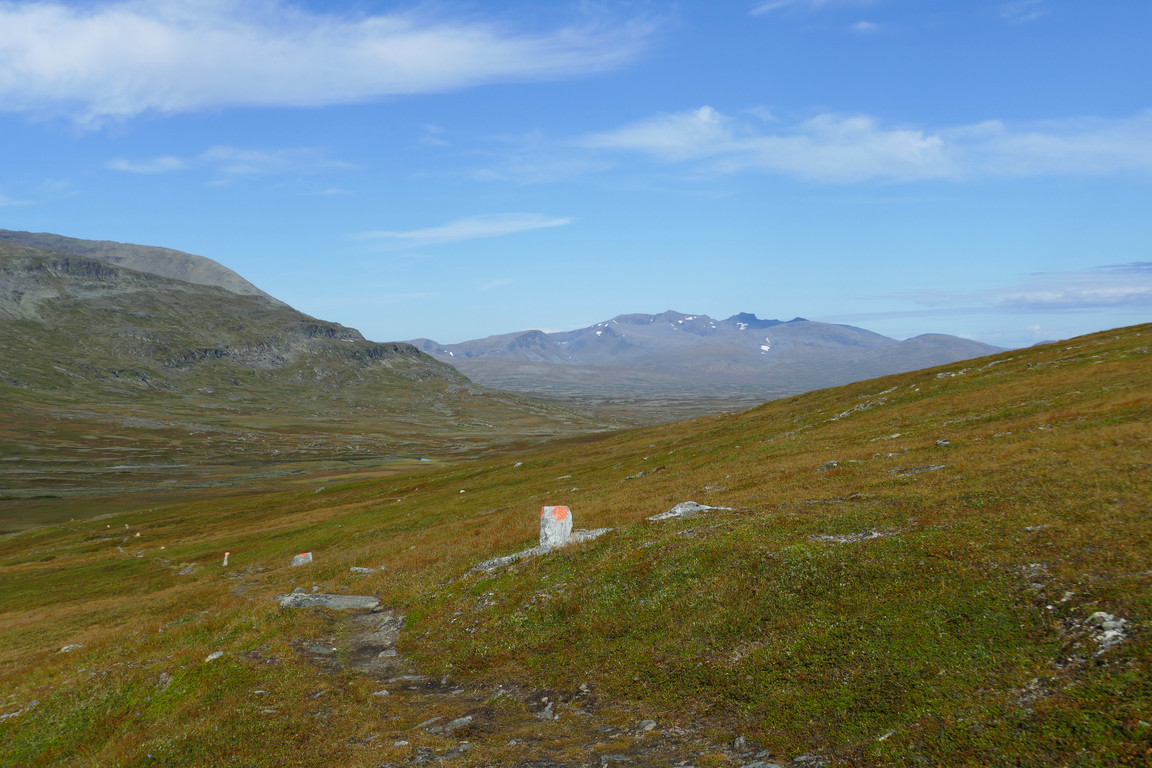
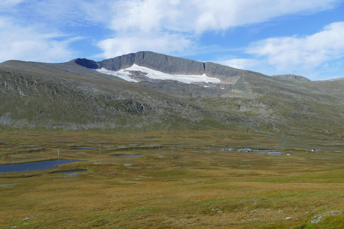
The rucksack felt rather fine as I left the station behind and cut across semi-wet grassland to the Vålåvalen trail. I met a single hiker whose pack was very much on the light side, and then the path climbed the lower slopes of Jalkedsåajja before levelling out as it turned around said rise, where my by then quite risen temperature was checked by a very nice increase in wind. The way down the other side was pleasant to walk, and the land was riddled with late-season flowers.
Gamla Östan
Departure
Sylarna across a tarn
Going up
Bye!
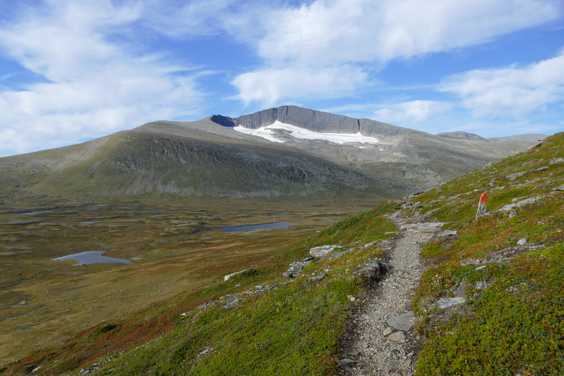
Rounding Jalkedsåajja
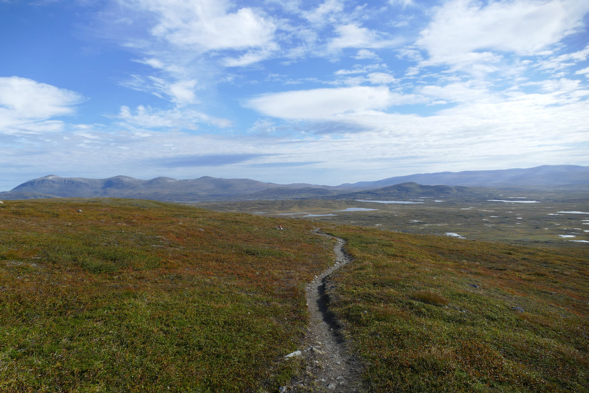
Flat
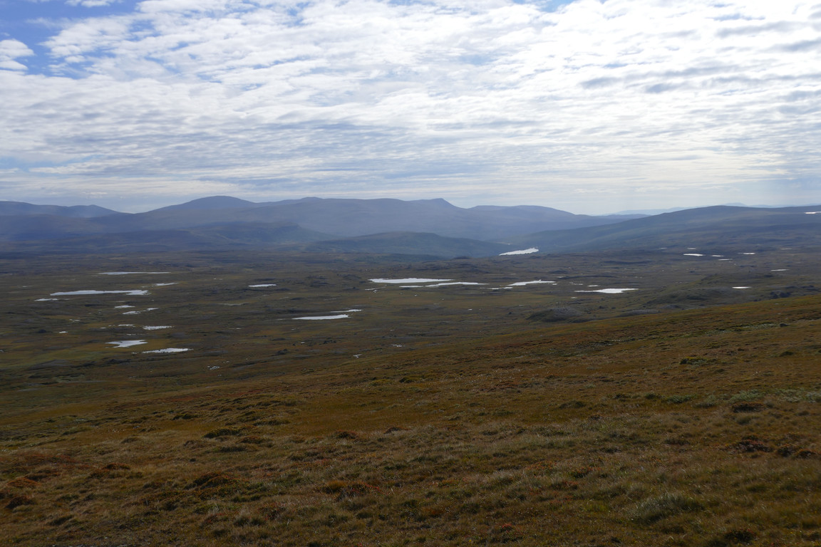
Distance
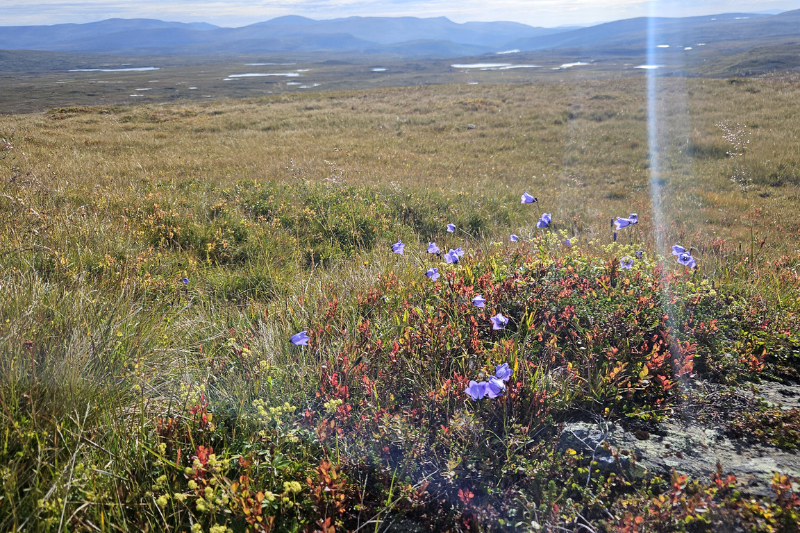
Flowery
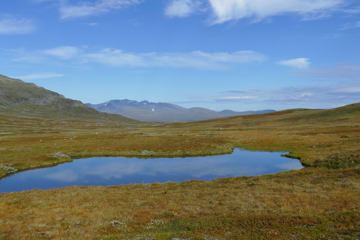
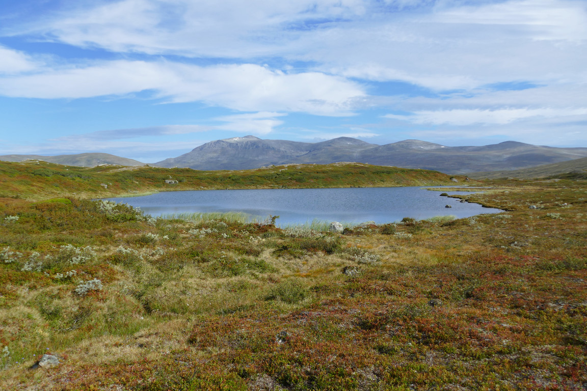
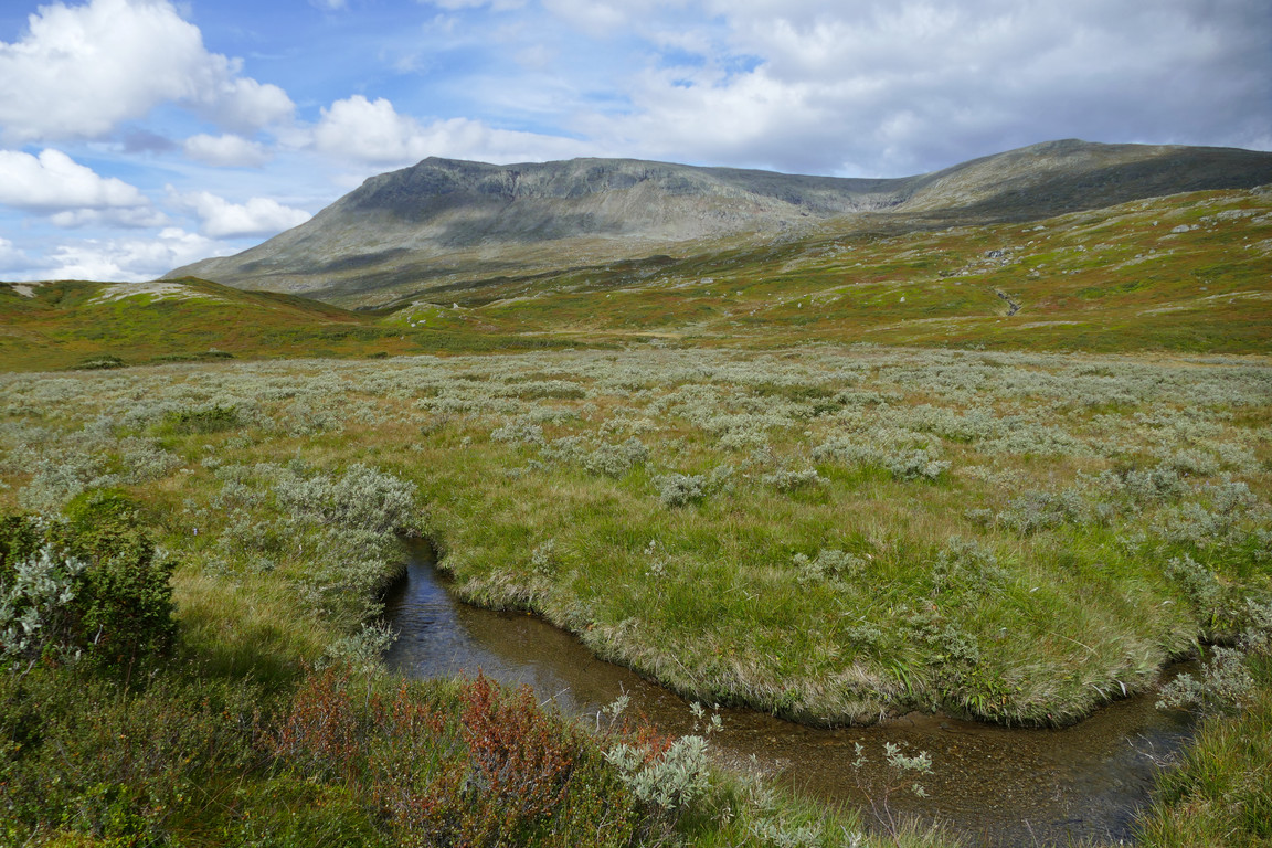
Down on the flat expanse the path was dry and easily trodden, so I picked up the pace without much effort. The pretty and somewhat hilly heathland was clearly turning to autumn, with large patches of ground red or reddening. Having rounded Krustjärnen I had a quick chocolate break before leaving the water behind, and then refilled my flask in the next little stream before what looked to be a drier section. After another one of those "I'll scout ahead for you" reindeers took the lead I met a two-legged creature going the other way, and stopped to chat for a bit. He had walked through Holkendurrie and was very happy with his choice of route, which boded well since that was where I was headed myself.
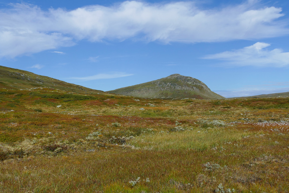
Snusestöten

The way down
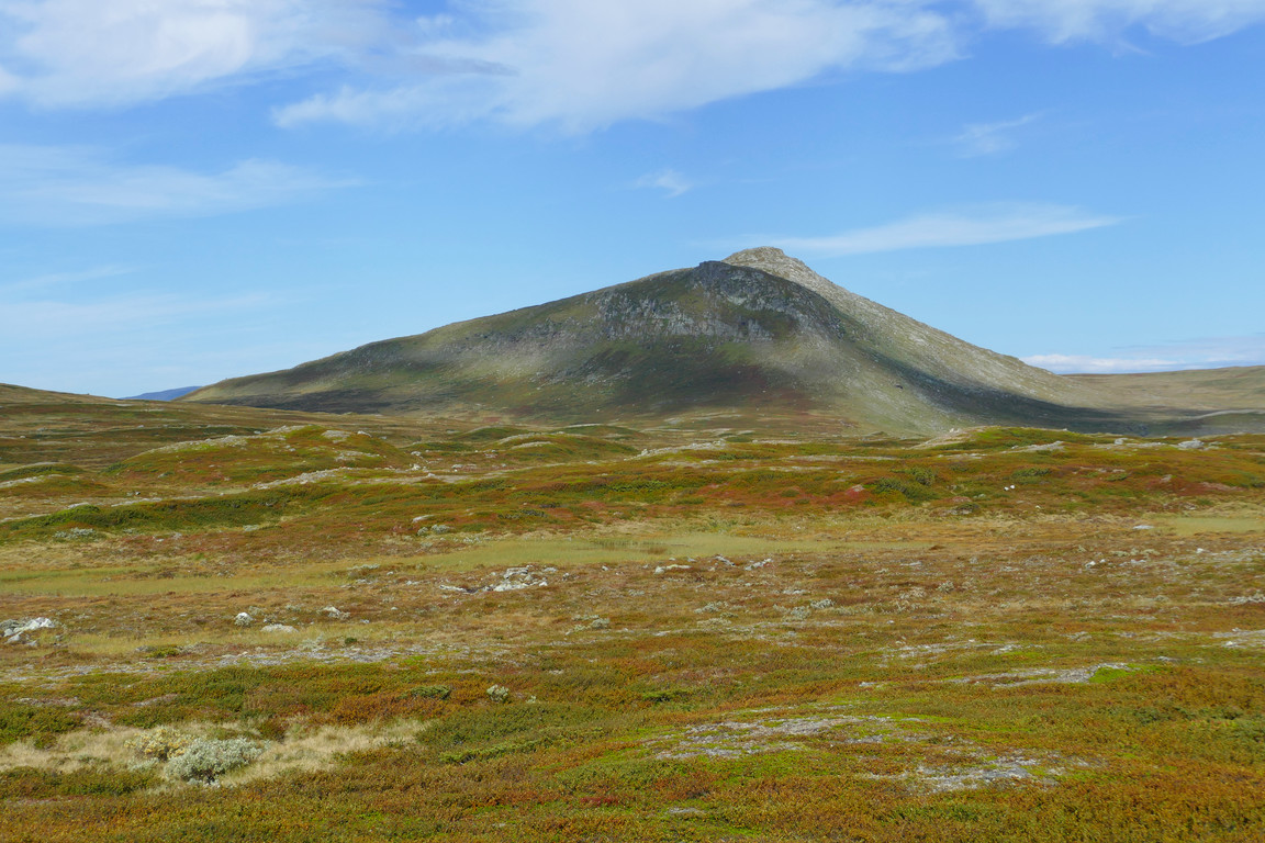
Colored
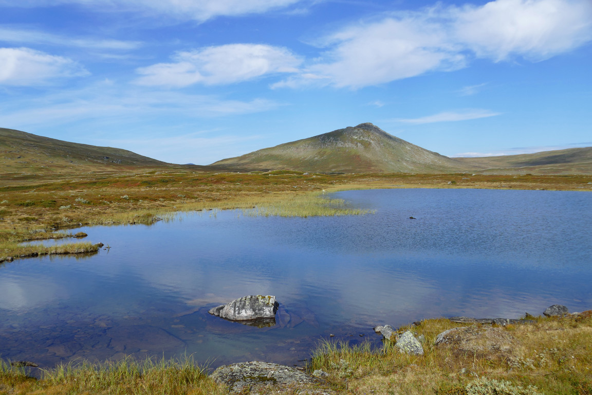
Another tarn
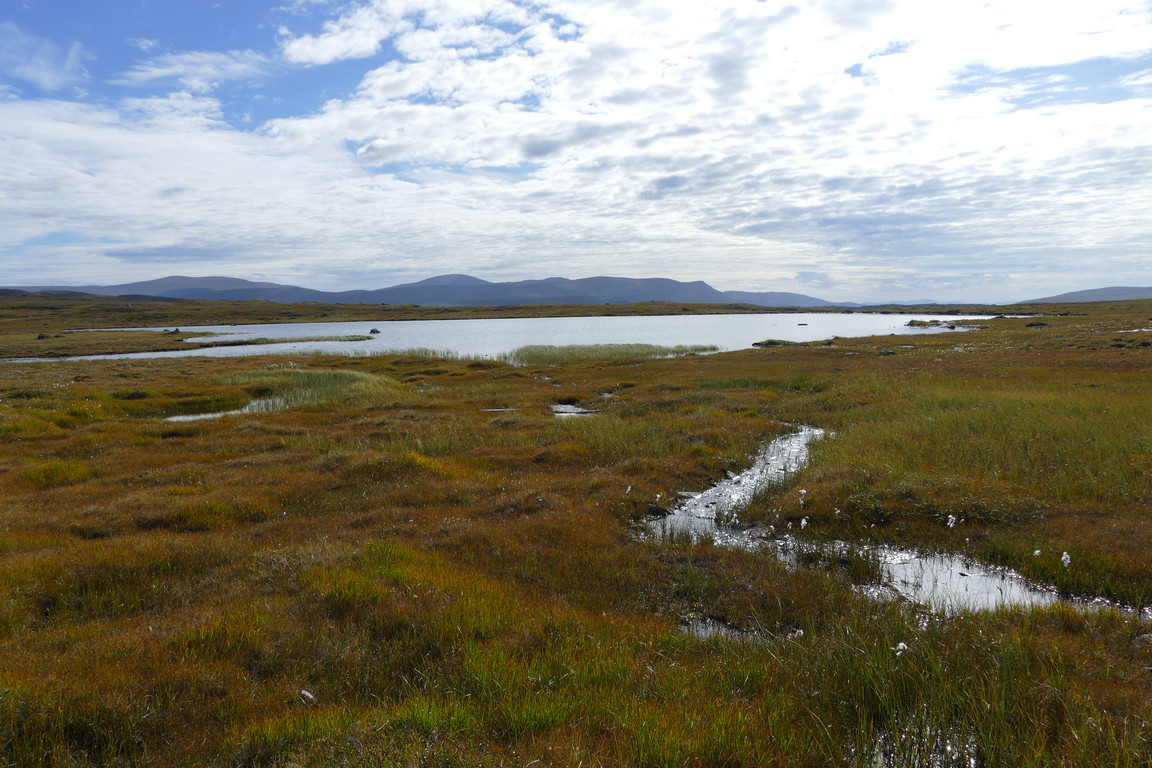
One more
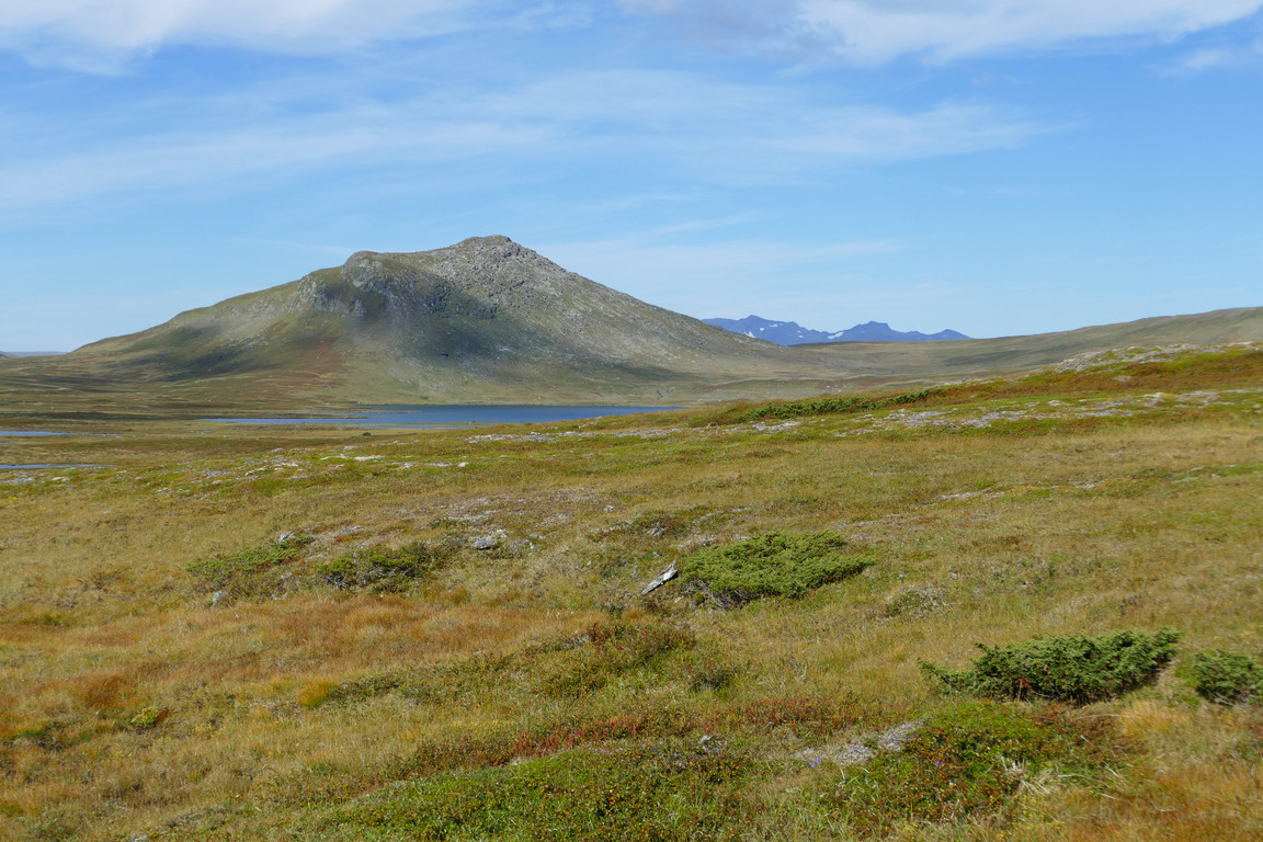
Snusestöten and Sylarna
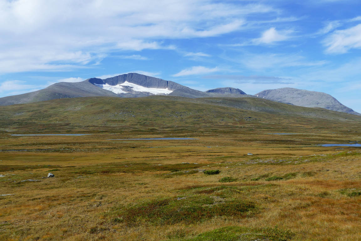
Helags back in view
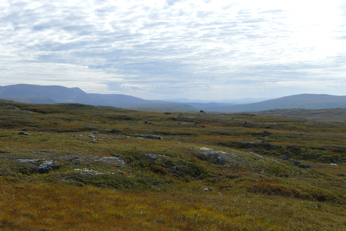
Clouded
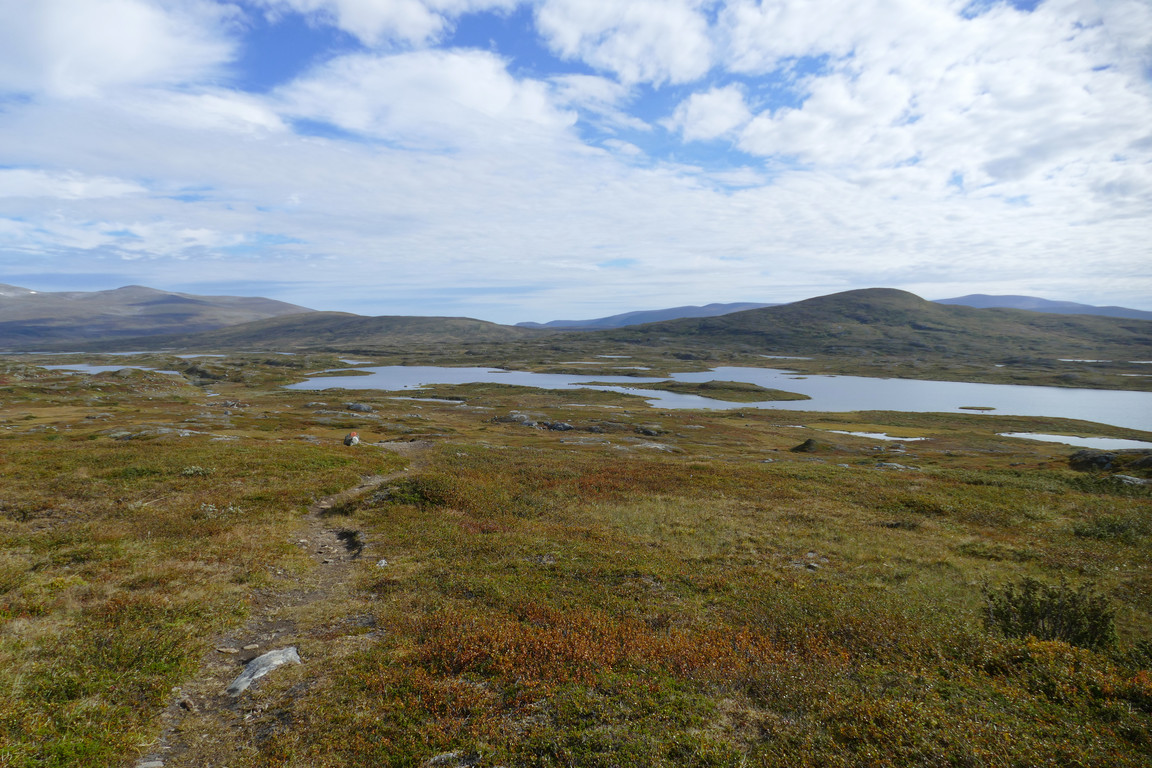
Krustjärnen
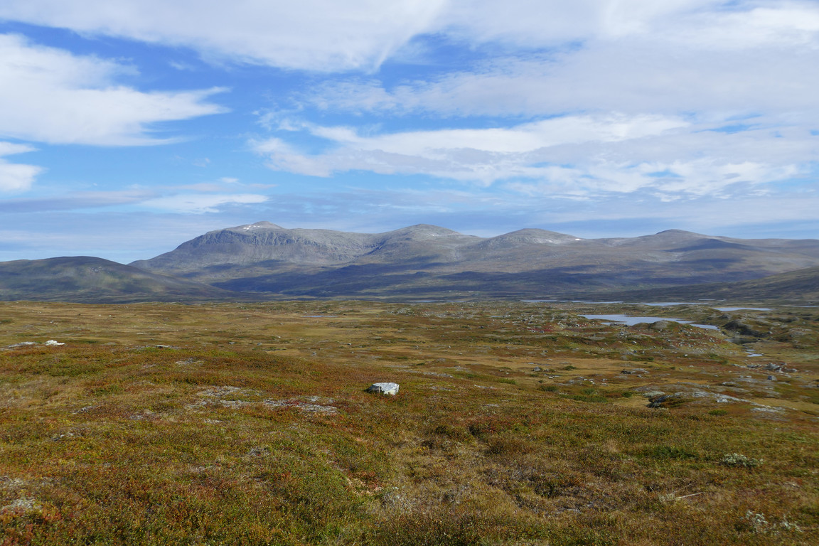
Shadows on Härjångsfjällen
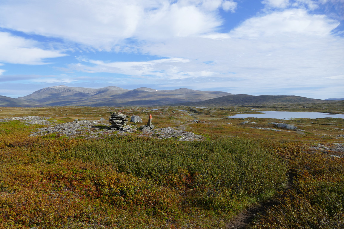
On the trail
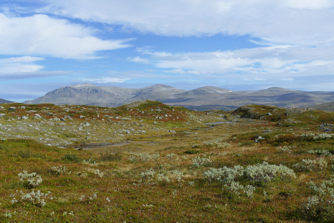
Hilly
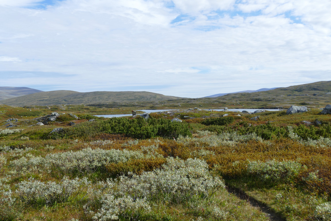
Bushy
Watery
Massive massif
Over there too
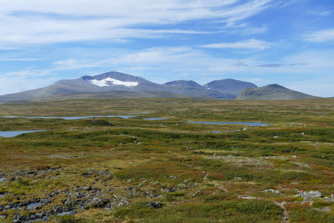
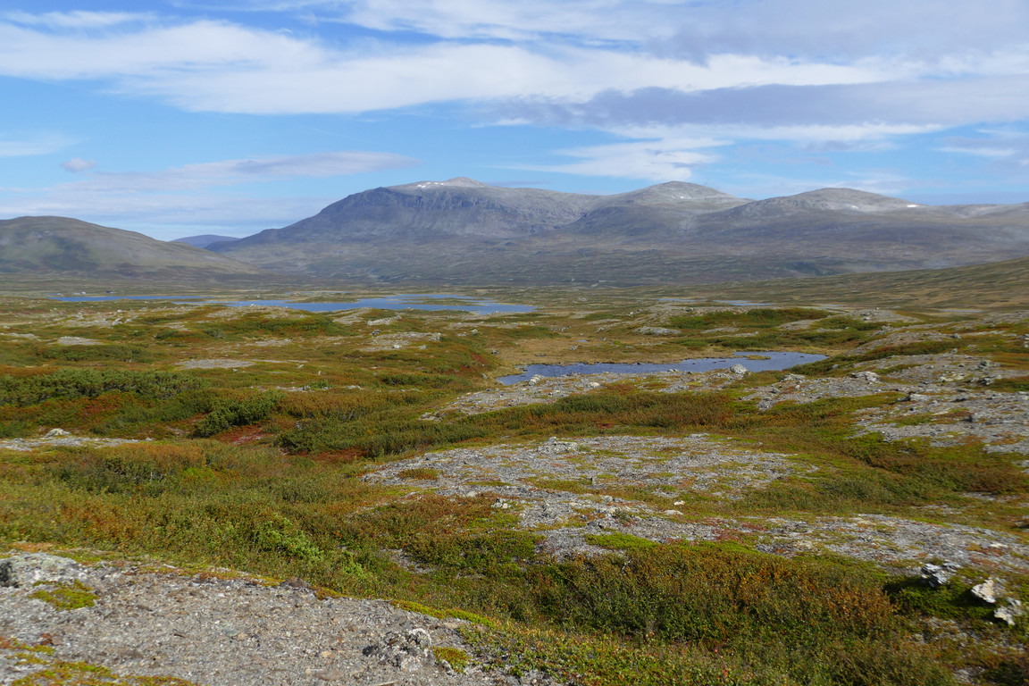
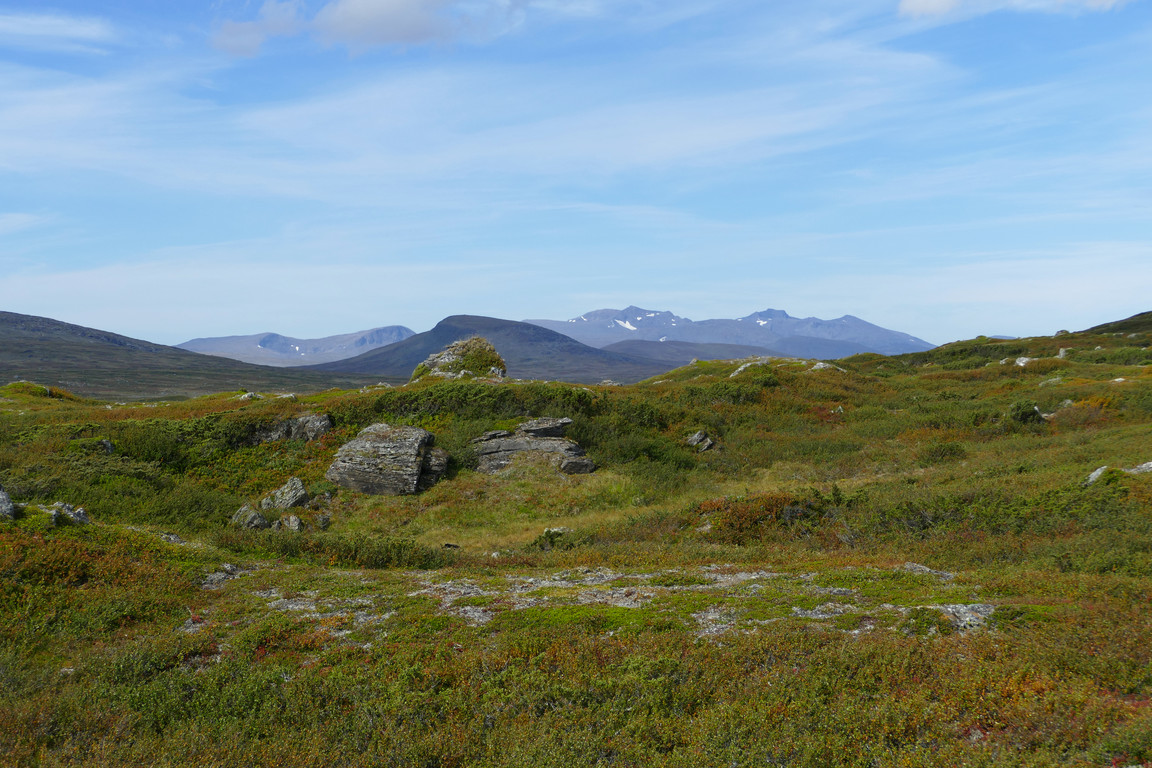
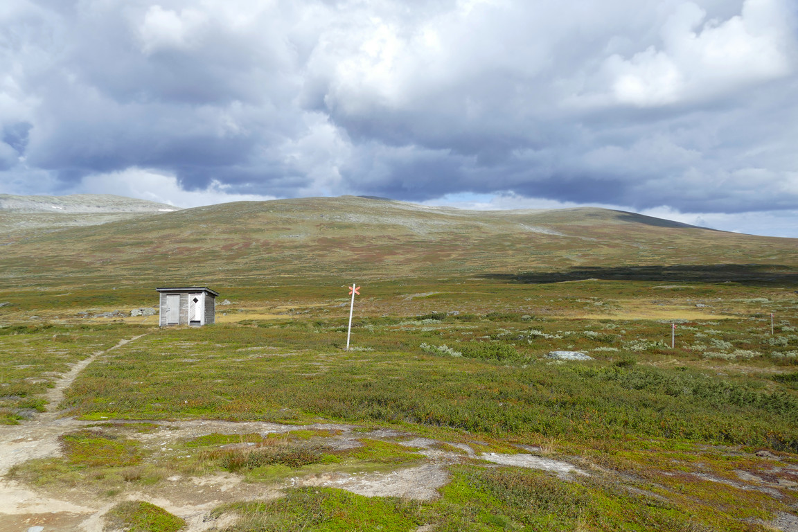
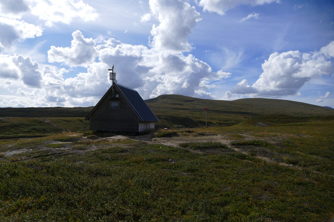
The sun was now mostly clouded, which felt good, and the trail turned into a series of duckboards over wet grassland before the heath reasserted itself once more as I slowly ascended around Slaajve. The stage was now starting to feel a bit on the long side, with no Ljungan shelter in sight as of yet. I met two women and a dog after which followed an extended hollow with somewhat wet ground before another mild ascent took by and the heath was back – and at the crest I could finally see the shelter, where someone was just arriving.
More of Sylarna
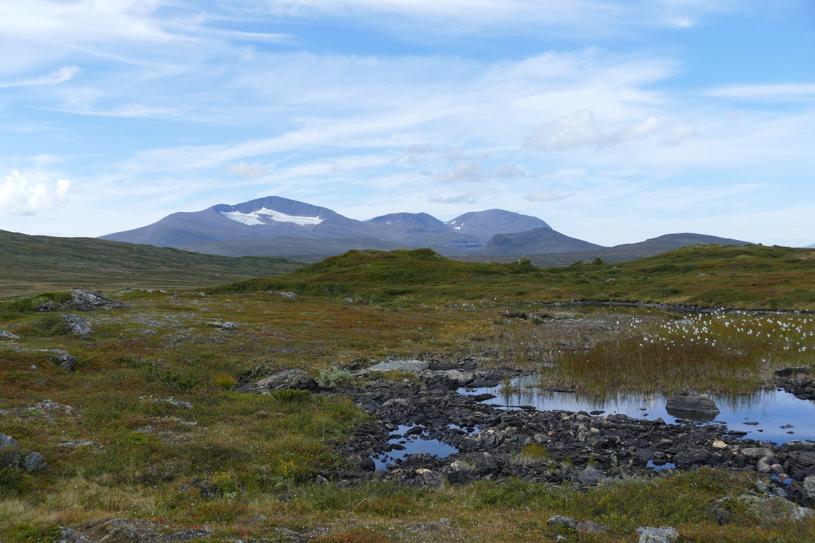
More of Helags

Shadowed
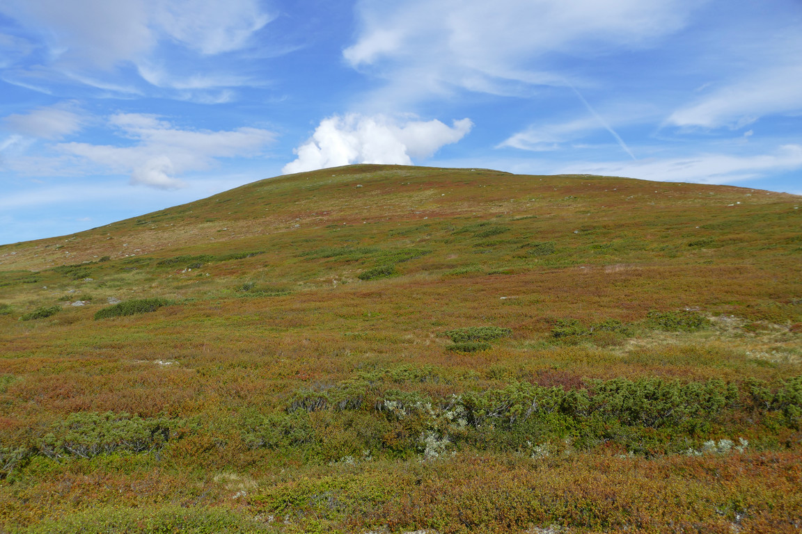
Colorful Slaajve
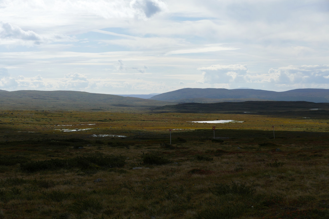
Lower fjelds to the south
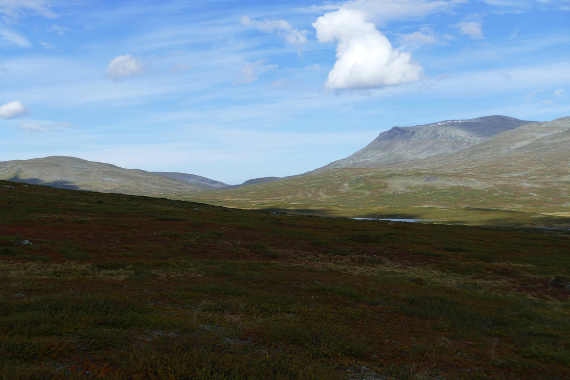
The mouth of Holkendurrie
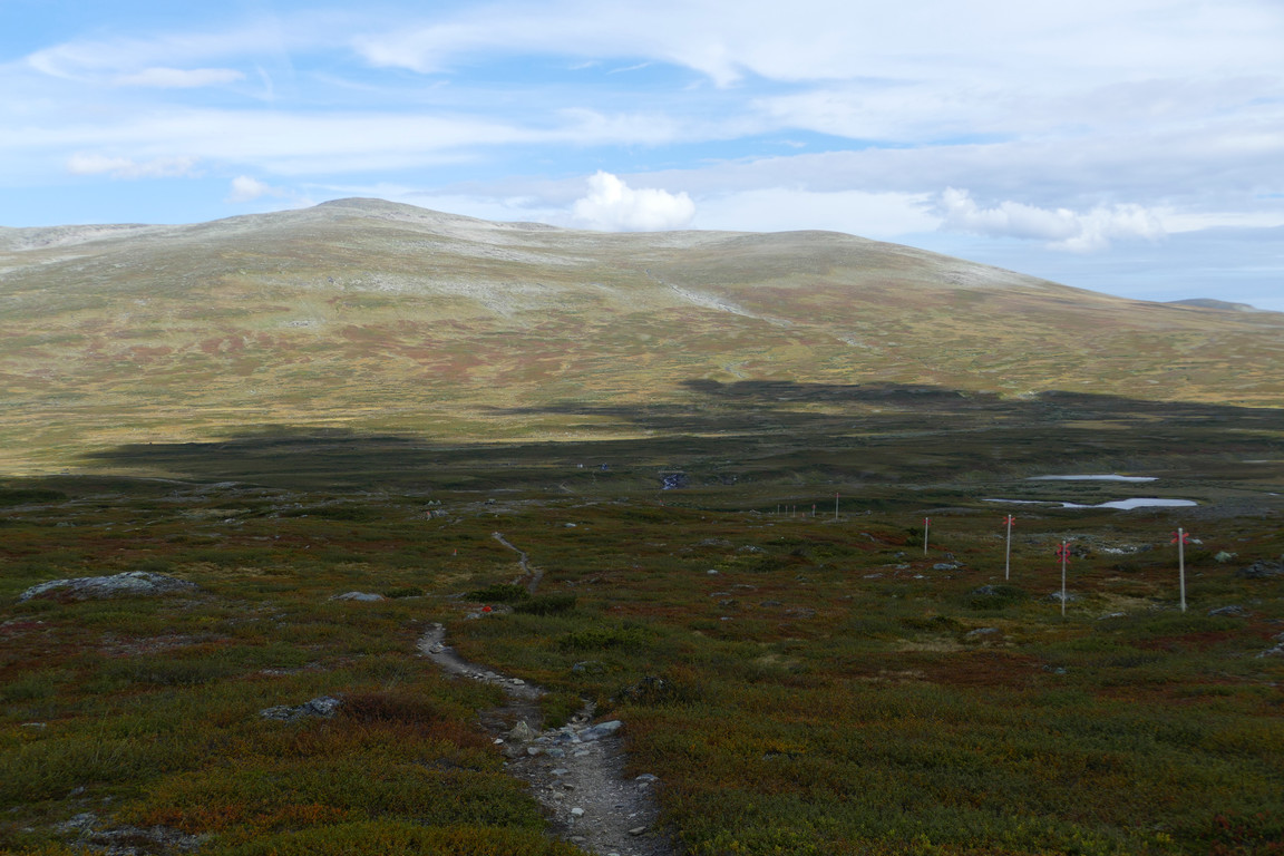
The shelter appearing
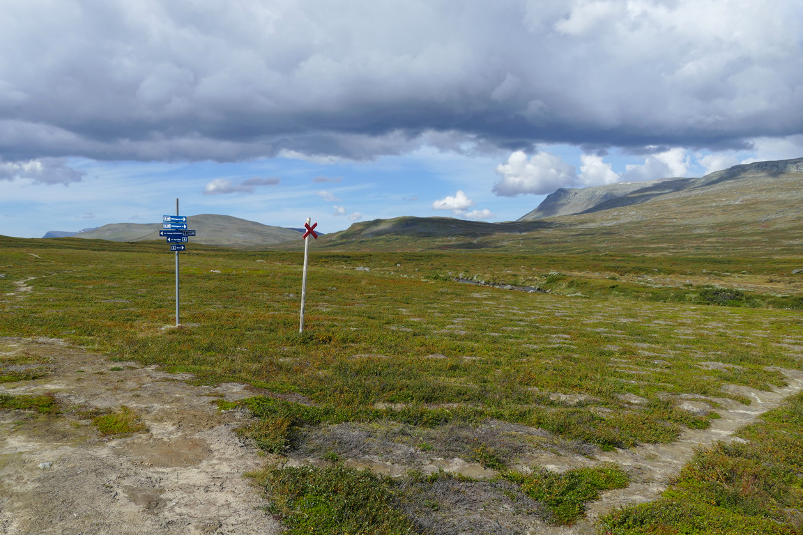
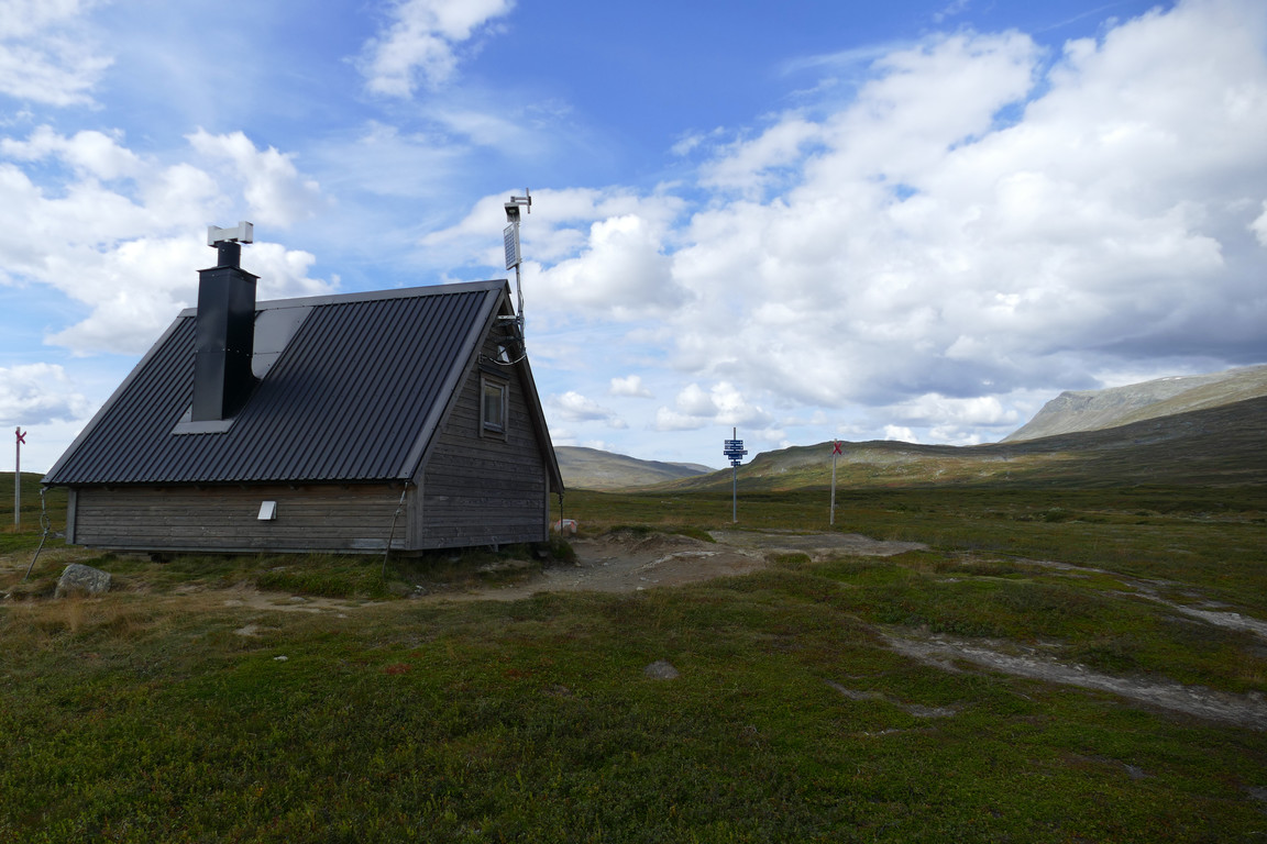
After a grassy section it was a downward slope of heath to the Ljungan stream itself, during which I met another lightly packed hiker – this being a Green Ribbon participant, I believe. Ljungan has no bridge here, but the marked ford was simple enough – the markers traced a shallow line through the water, which with some extra winding motion allowed me to cross in the boots. I walked up to the shelter just after noon, where a Swedish-speaking German had taken up position on the stairs outside the door, so I sat down on a rock along the southern side instead.
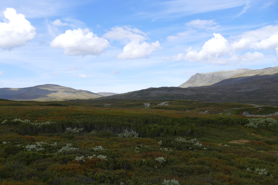
Towards Holkendurrie
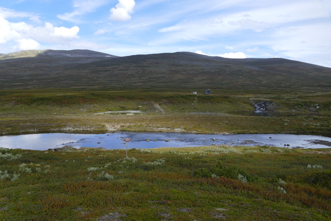
Closer
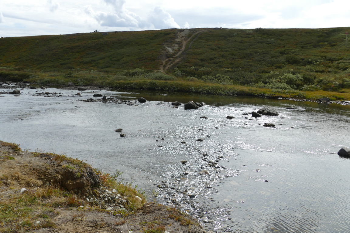
To ford
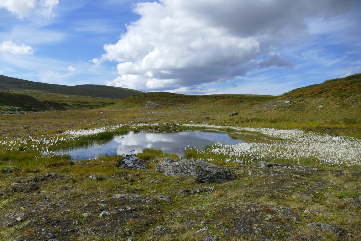
White
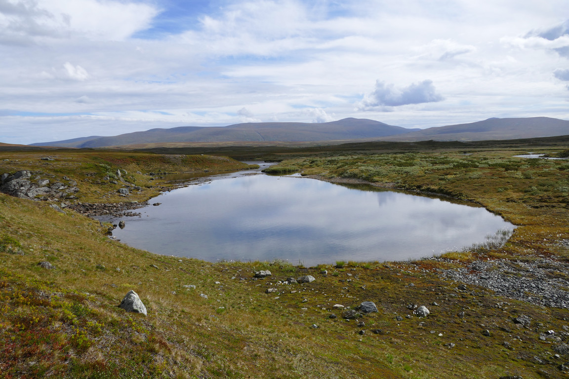
Wet
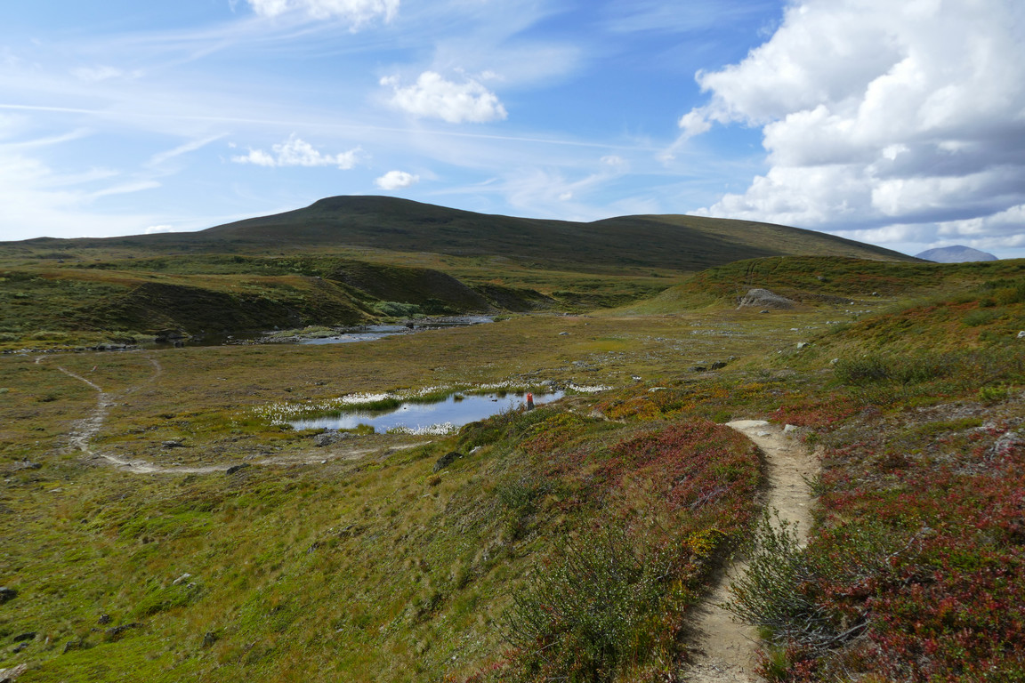
Sunny
I dug into my lunch at once, having more or less walked three hours straight, while the sun returned and alleviated the chilling effect of the fairly strong wind. I sat enjoying the early afternoon while the German left along the eastward trail, and then walked around a wee bit, munching on some blueberries which were plentiful.
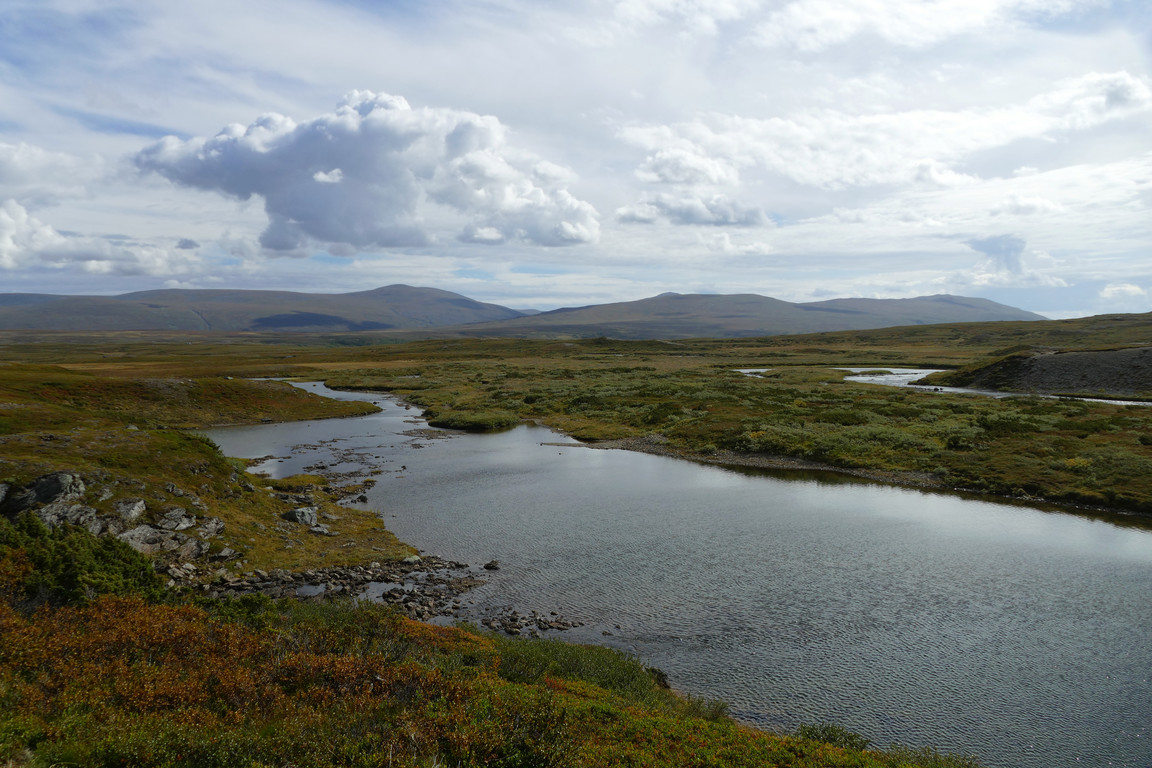
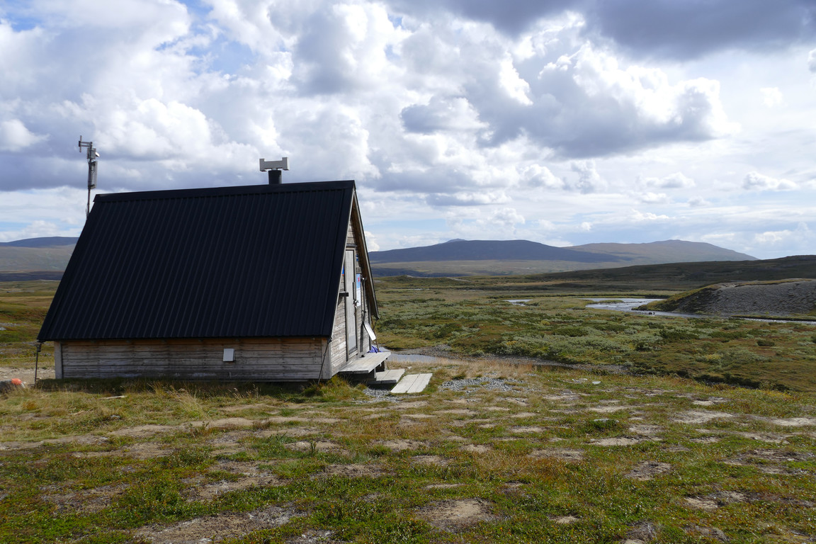
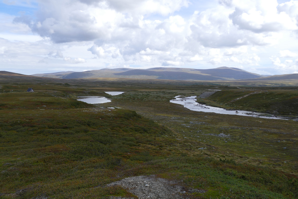
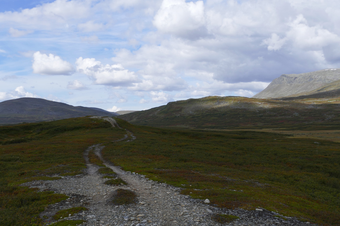
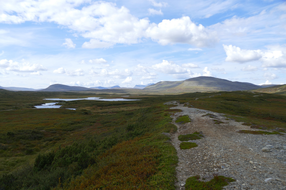
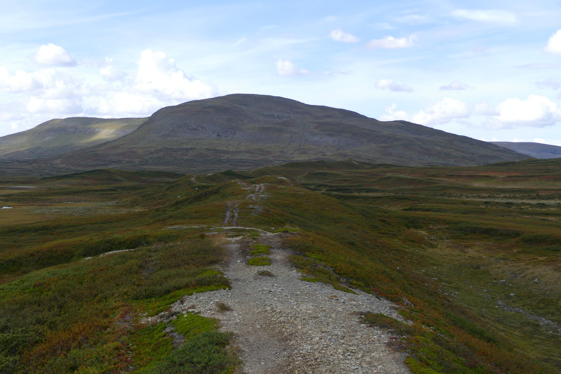
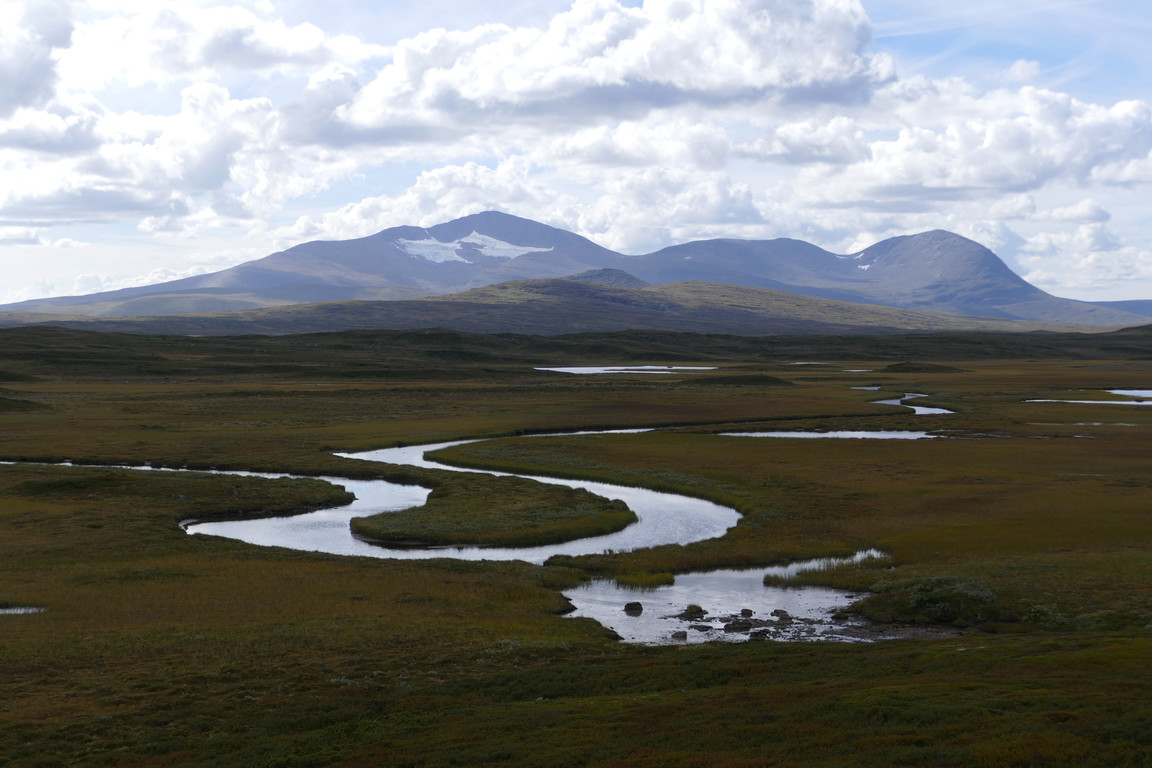
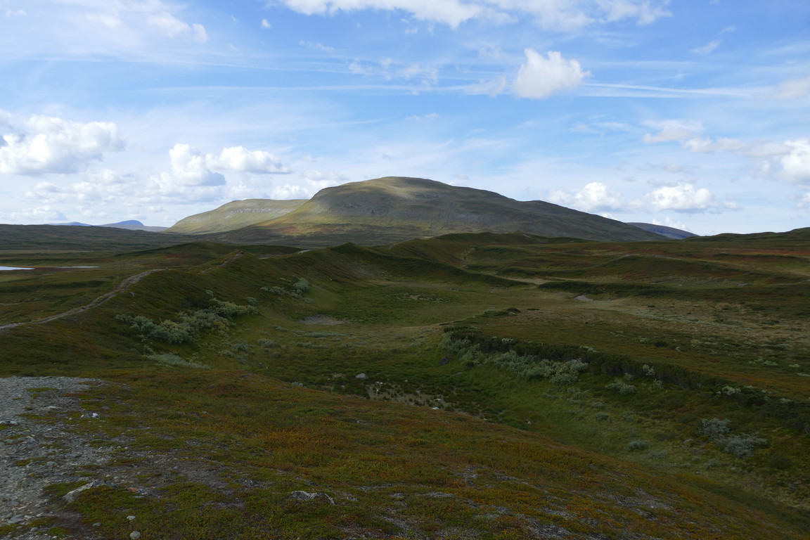
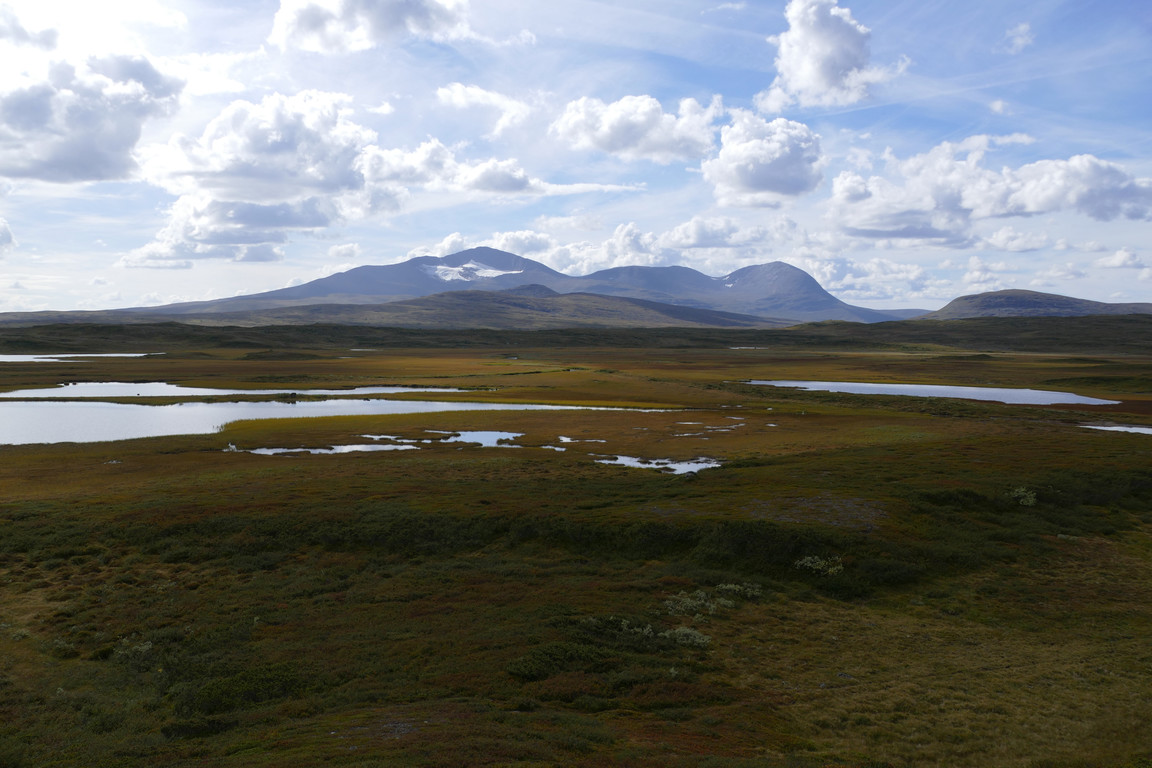
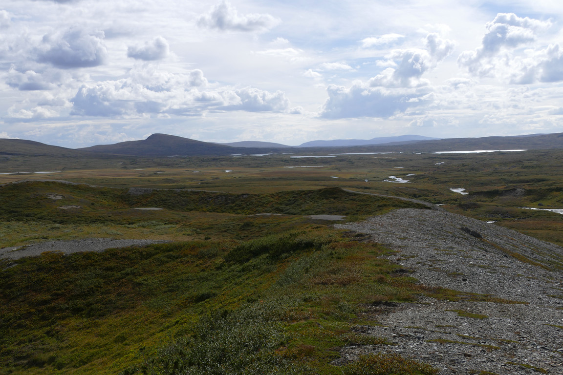
Clouds were amassing in the sky and occasionally obscuring the sun as I left the shelter behind, following a weak path to the start of a very long esker quite like the one at Pältsa, but not quite as high. Up there, too, was an ATV track, and the eroded surface shifted between sand, gravel, packed dirt or rolling pebbles. I walked in wind and shadow, noting the meandering course of Ljungan – also that reminiscent of the stretch between Pältsa and Gappohytta – and the growing autumn colors. The height of the esker increased further west, and as I approached the mouth of Holkendurrie the sun made itself known more and more.
Leaving
On the ridge
Sunnier ahead
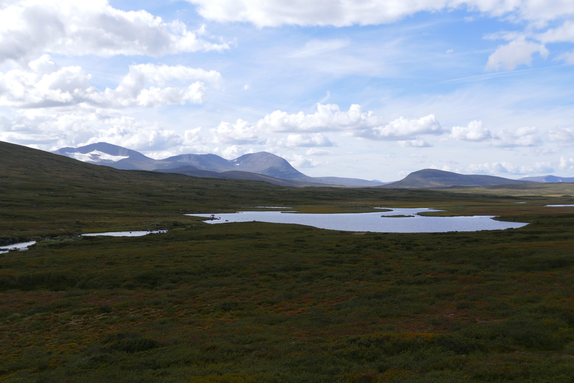
Helags returns
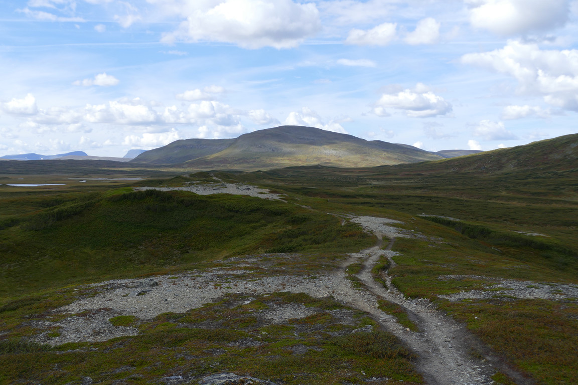
The ridge...
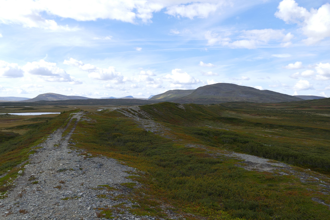
...stretching out...
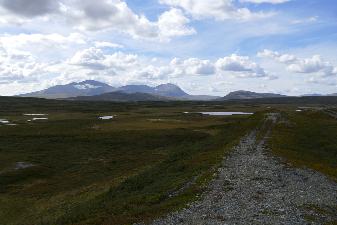
...beside the flat land
Winding
Meandering Ljungan
Like a wall

The ridge behind
Sun again
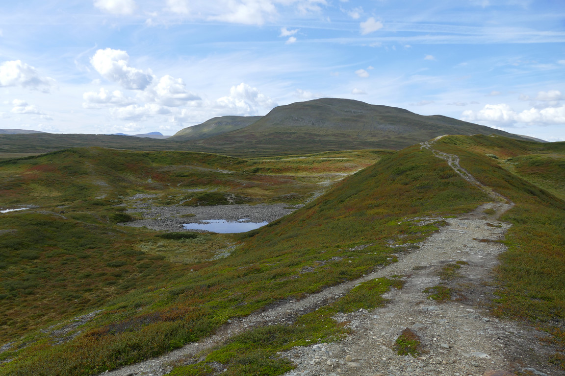
More ridges
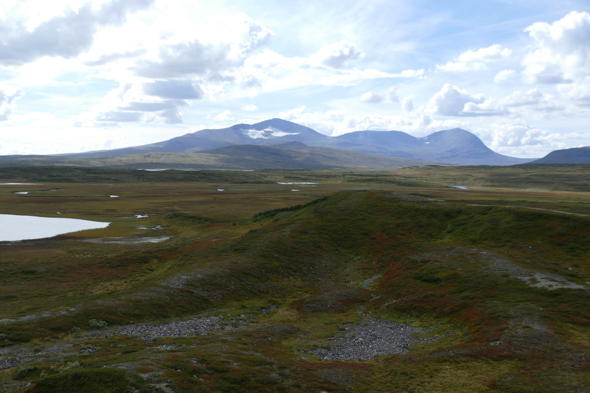
That one
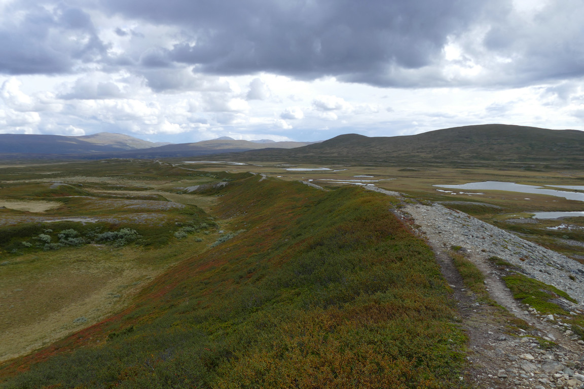
Long line
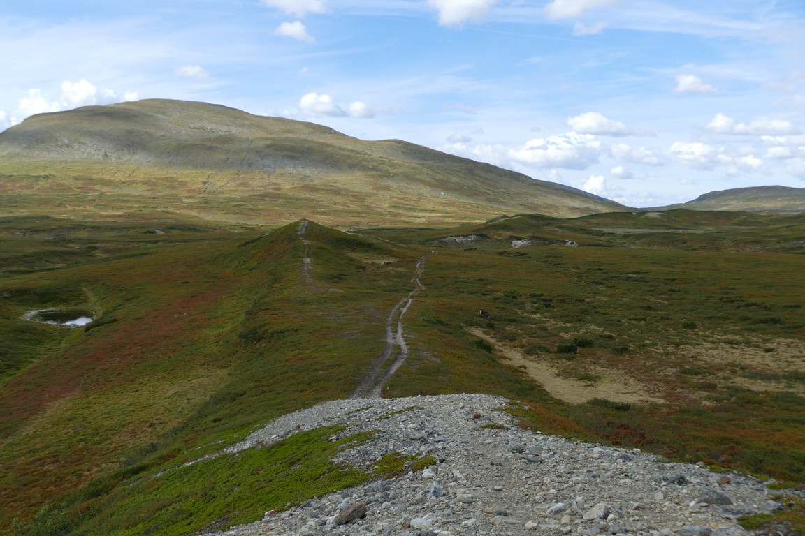
Approaching a break
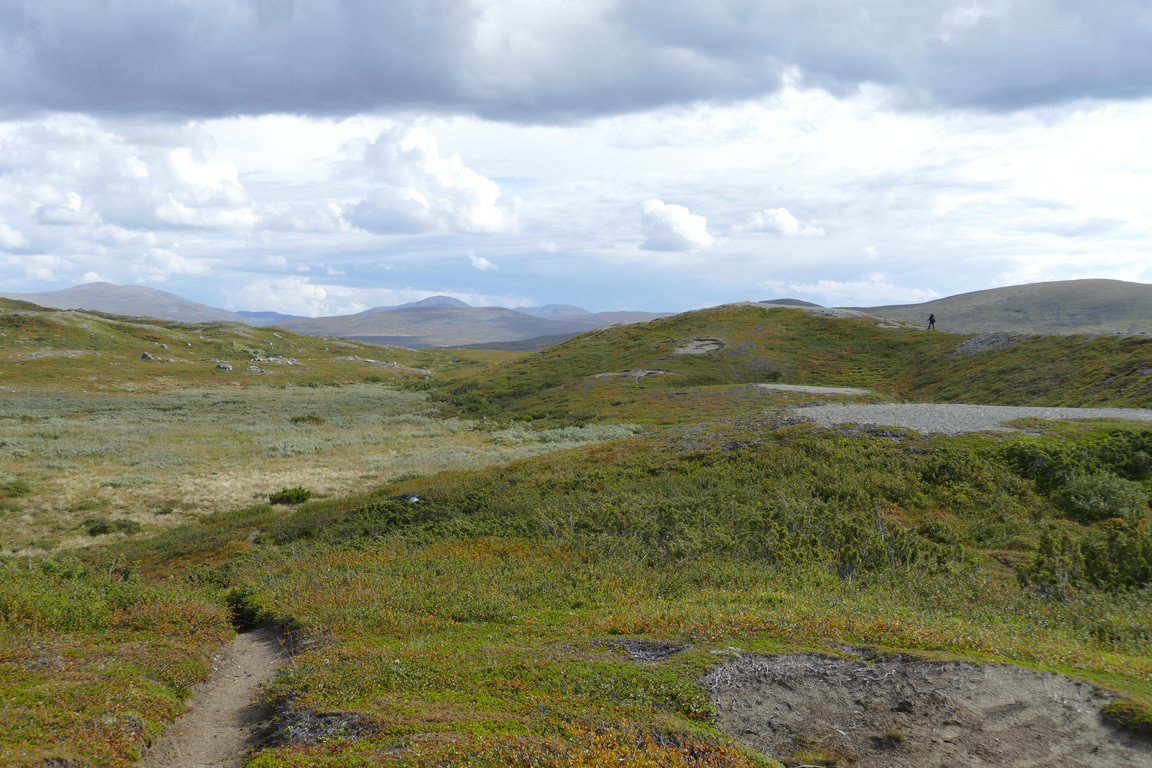
At a sharp gap in the ridge both I and the path left it – and here there was only a single indentation, albeit a deeper one. Where the path crossed the rise again ahead I observed another lone hiker who was just climbing back up to the ridgeline and started heading back eastwards up there. I did the opposite myself, climbing the less sharply defined rise to my right, stepping carefully on the exposed gravel so as not to erode it further. A short distance further along I wound my way down subsequent steep sections back to the stream emerging from the valley, utilizing what was most likely reindeer routes.
Stora Härjångsstöten nearby
The other hiker
Climbing
Climbed

Towards Helags
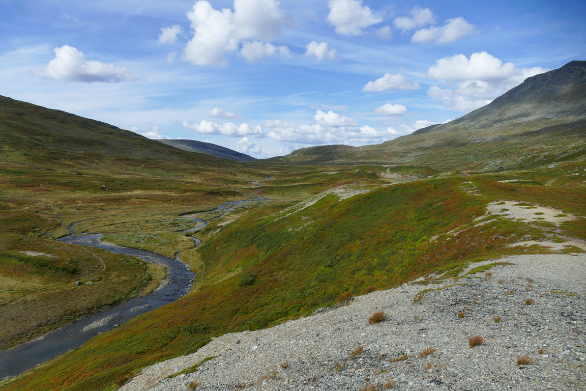
Into Holkendurrie
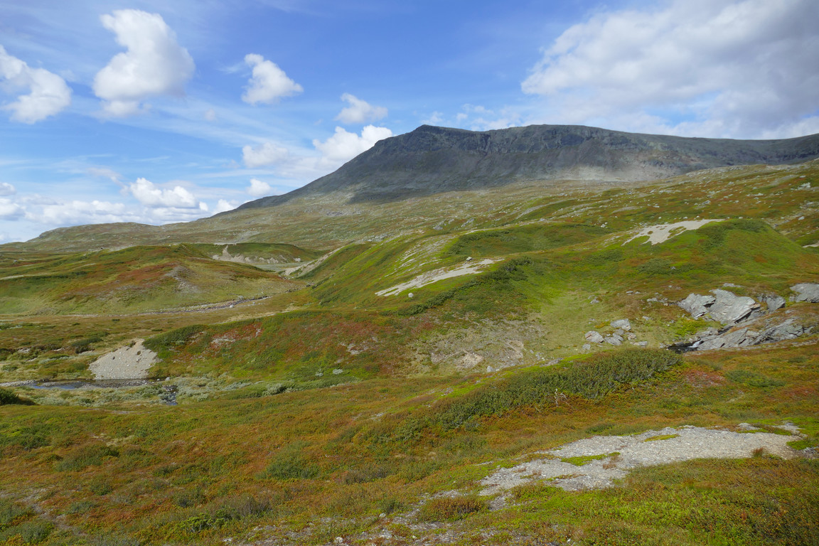
Hills and Stora Härjångsstöten
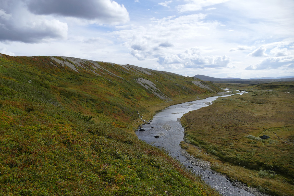
Going down again
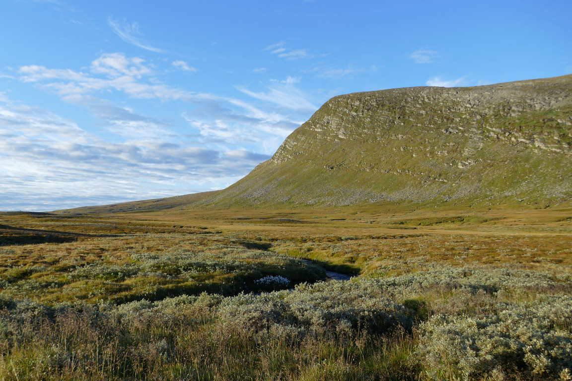
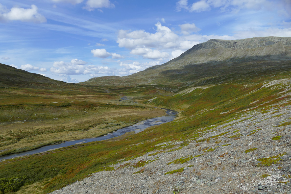
I crossed this stream with ease and then returned to the main path as it entered Holkendurrie, and the landscape here was especially to my liking, with autumn-reddened green hills around gushing blue water collecting in pools beneath steep sides of grey rock. The sun was still out and the wind provided air conditioning as I continued through the valley, stopping for chocolate and water when the path crossed the stream.
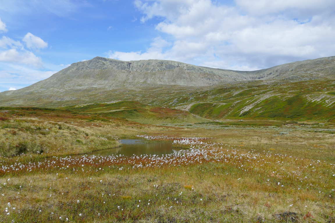
Colors!
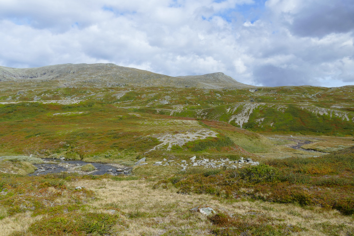
Patterns!
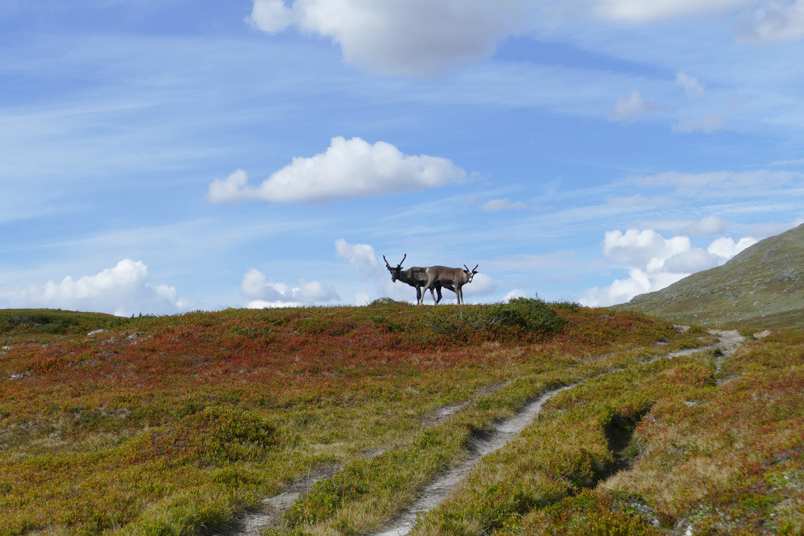
Dual
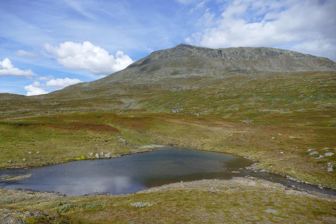
One of many pools
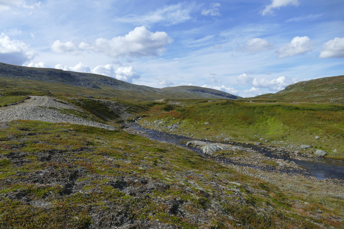
Entering Holkendurrie
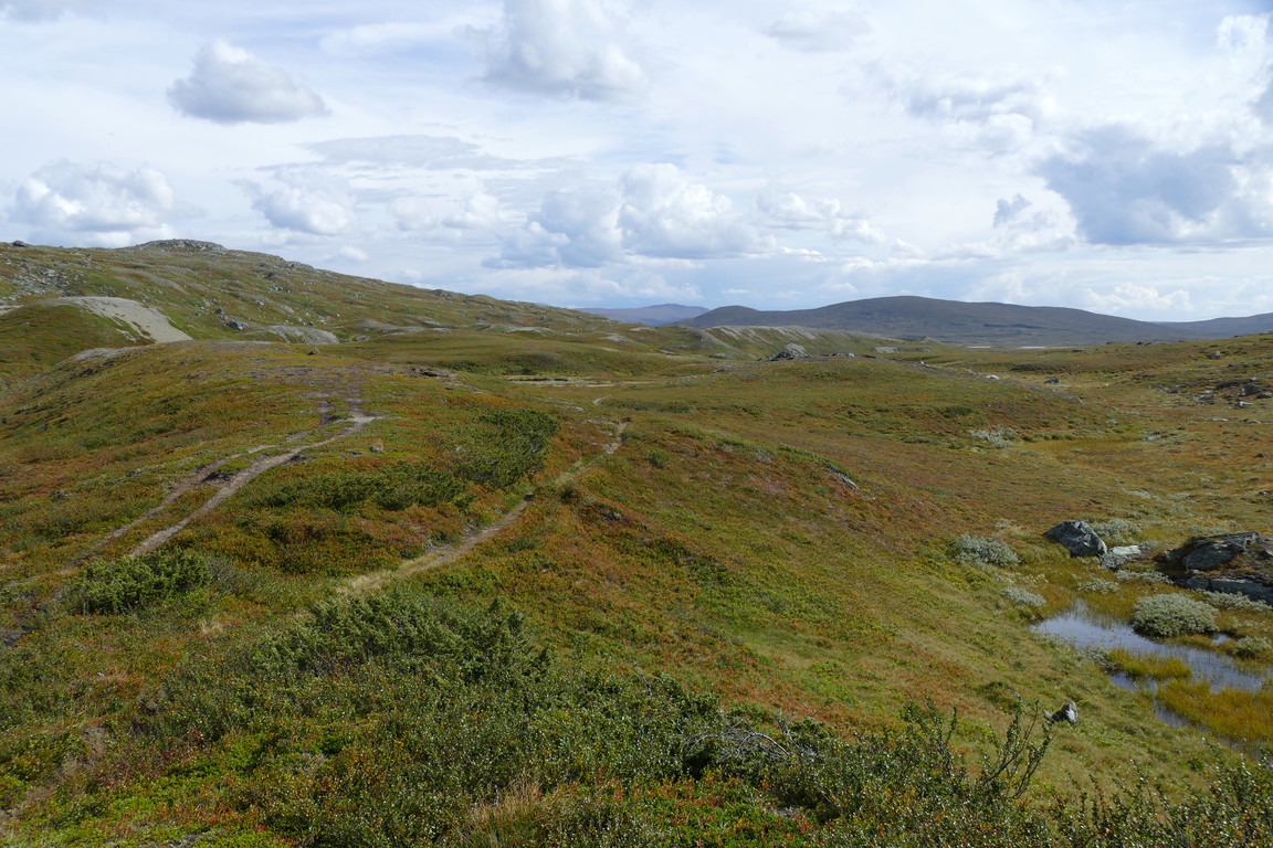
Looking out
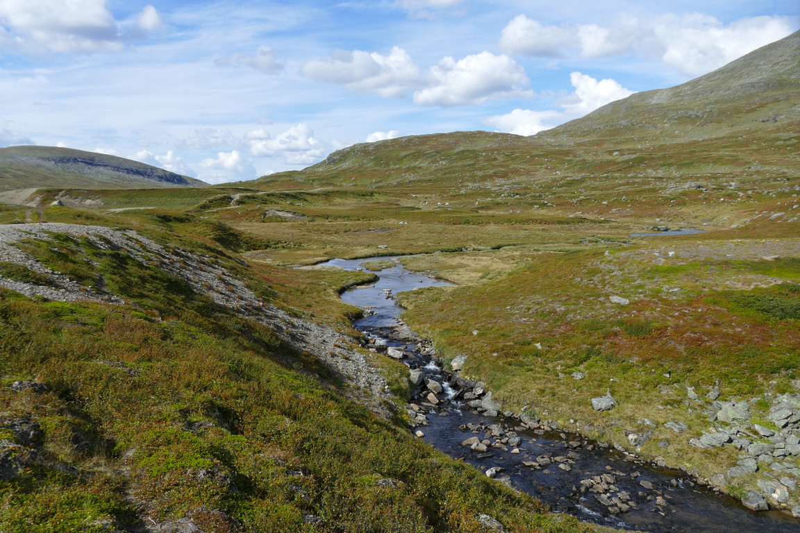
Further in
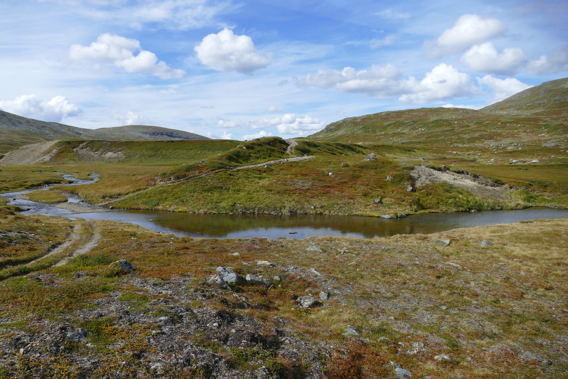
Paused here
When I started walking again I felt a fair bit of pain in my heels, which was a surprise as things had been perfectly fine all day up until then, but after some adjustments in sock position and gait it soon subsided almost completely. The path consisted mostly of gravel as it headed northwestwards, passing more small tarns – one of which had a curious pier formation in the middle – but things turned bumpier as I rounded the outrunner from Stora Härjångsstöten and started nearing the other end of the valley. Next up was a partially wet section as the ground sloped gently downwards, and a few cairns started appearing as well while distant Snasahögarna came into view.
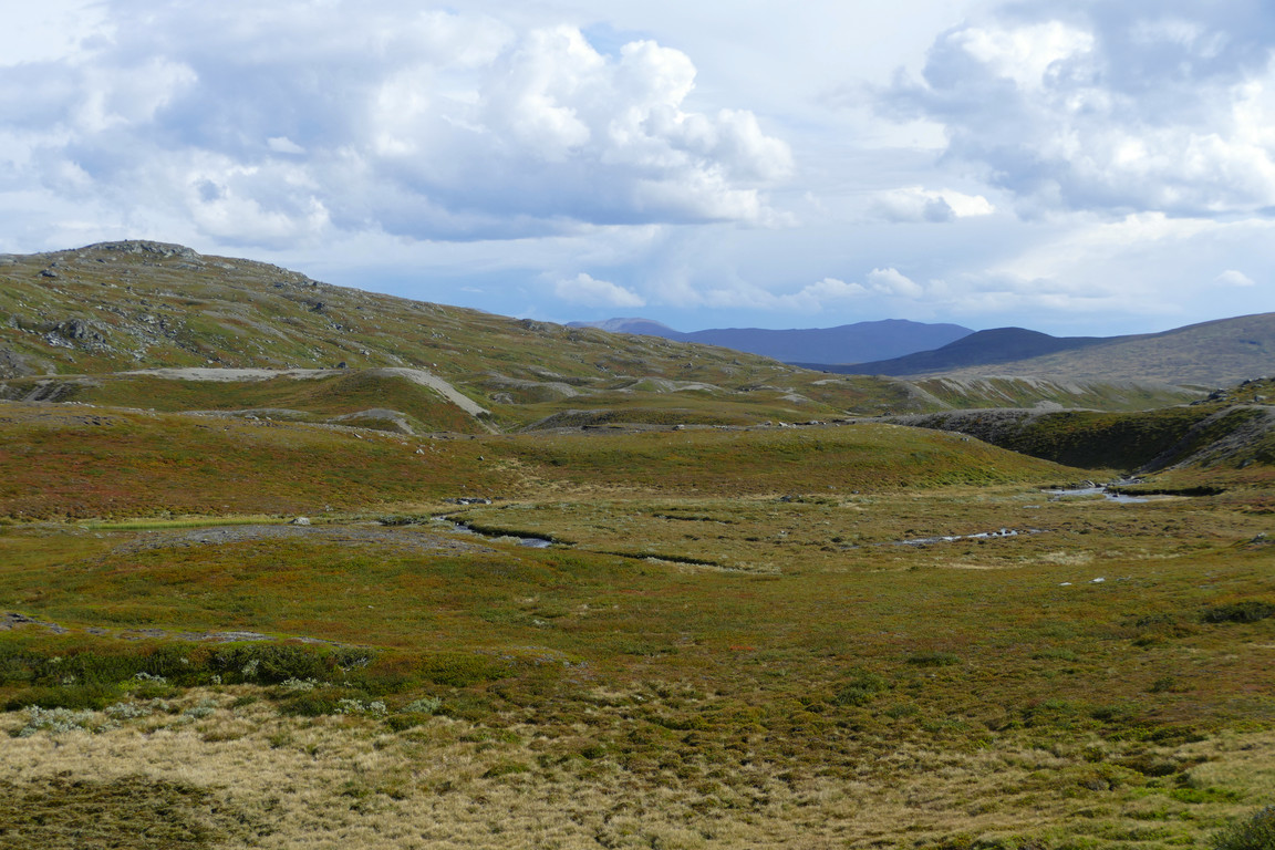
Hills behind
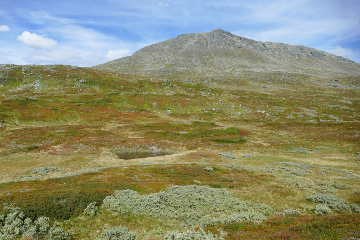
Summit above
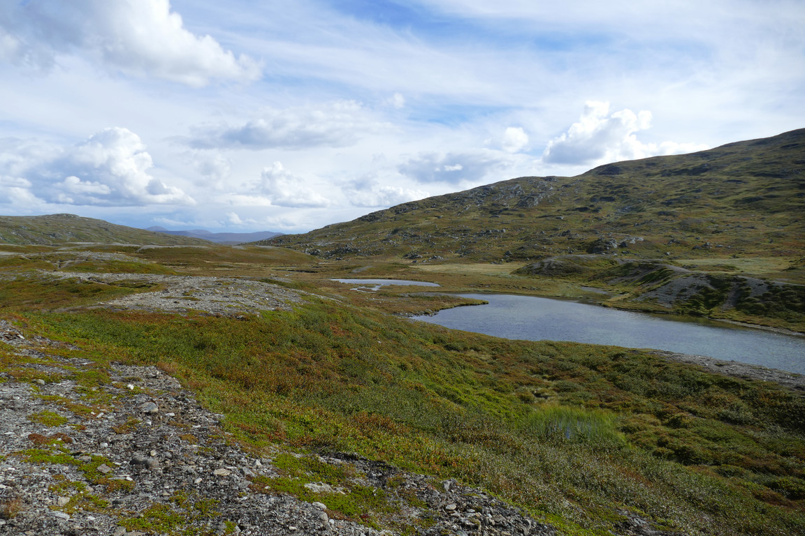
Tarns beside

A pier...
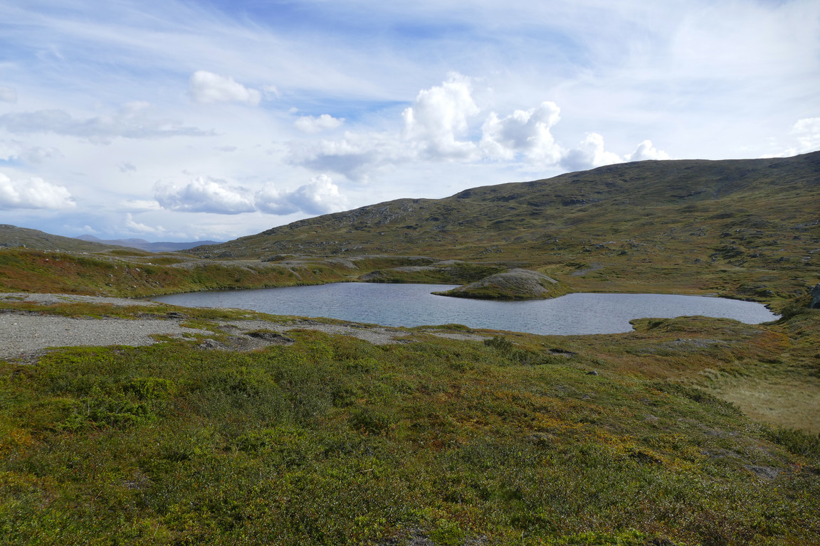
...in a tarn
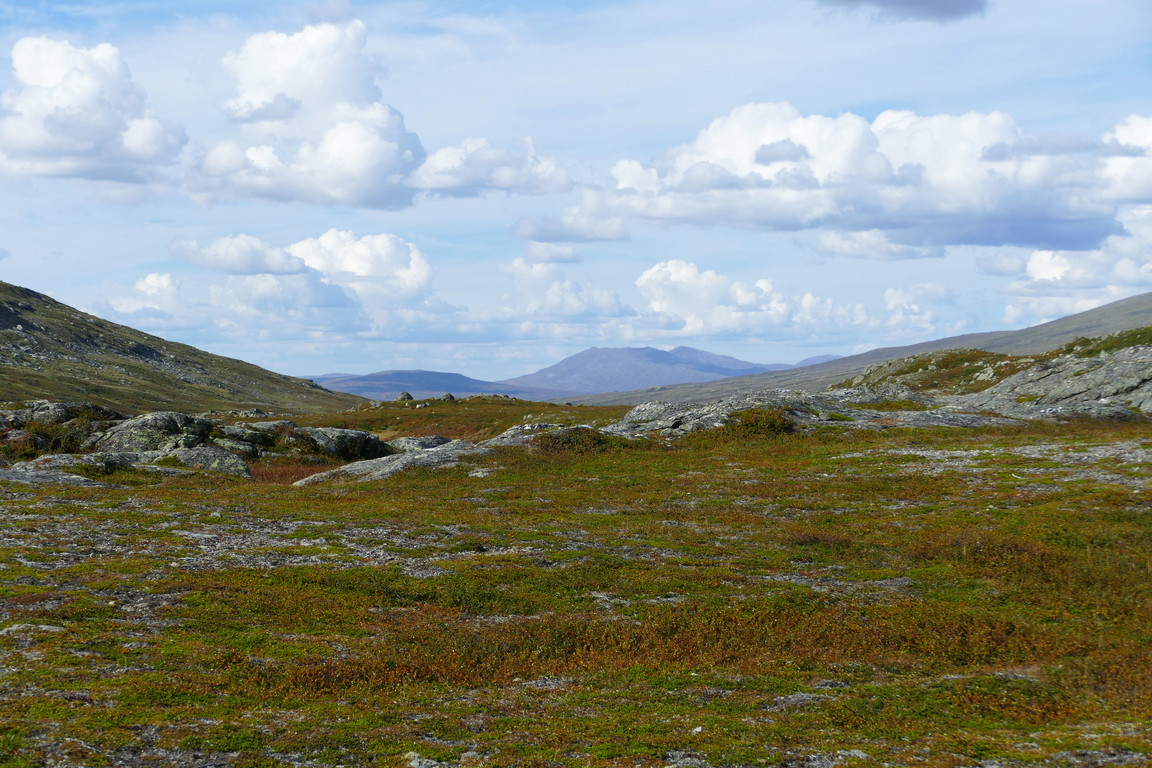
Snasahögarna in view
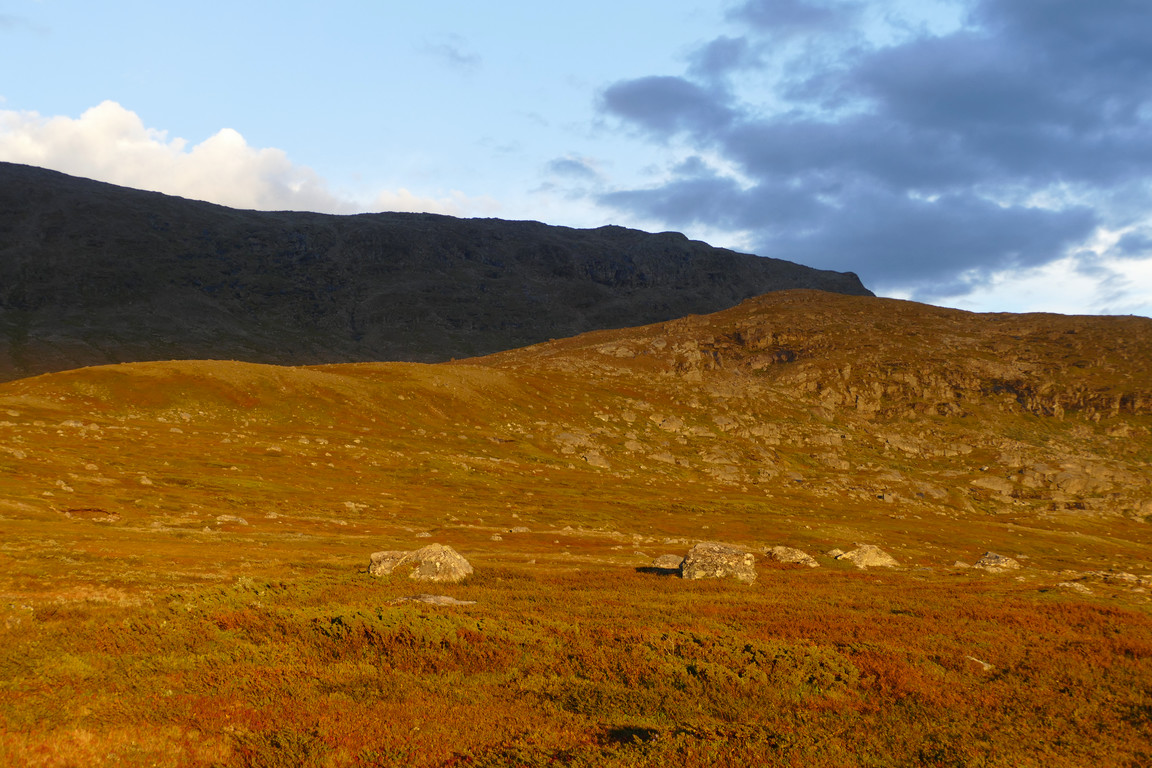
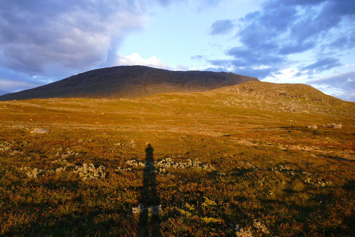
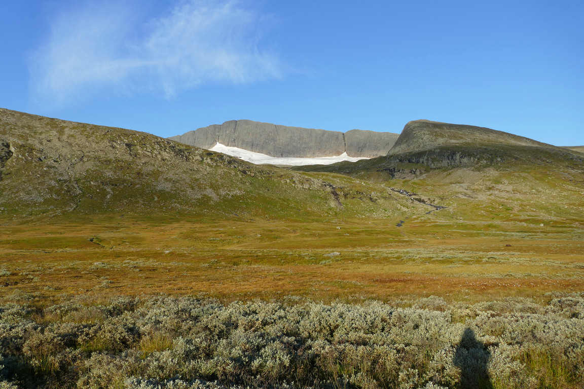
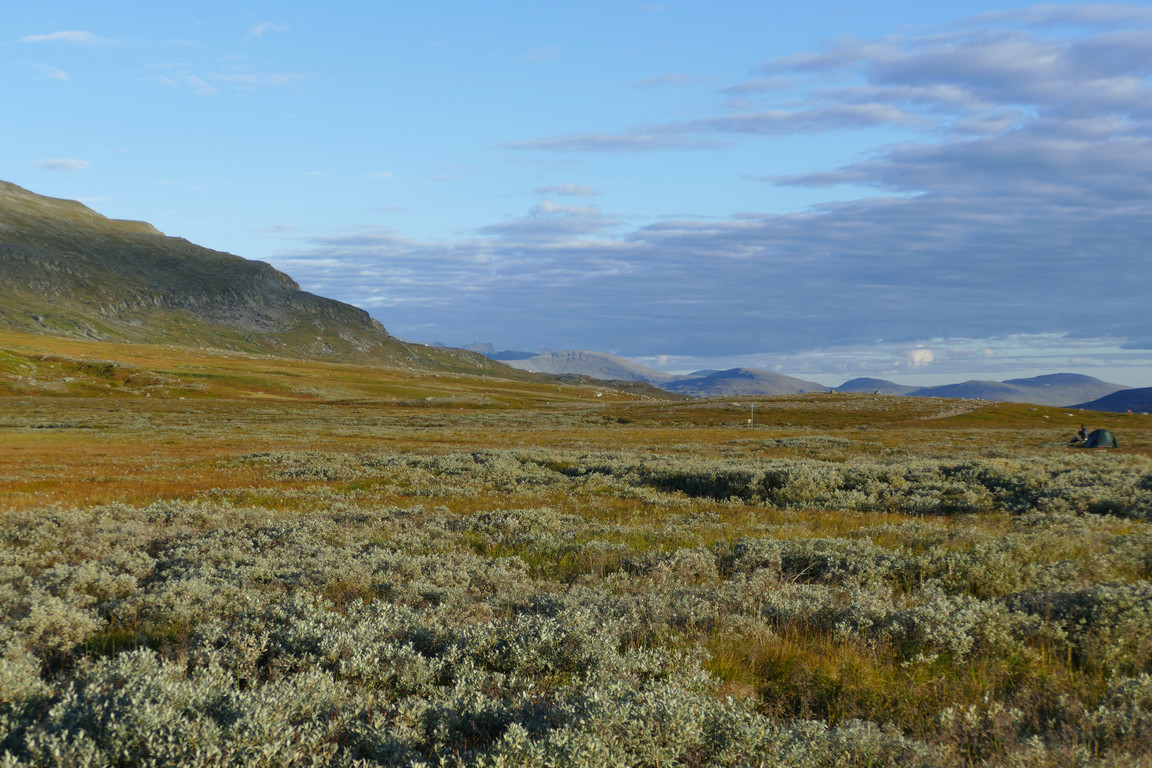
The sun was passing into cloud on and off as I reached the large flat area where Gåsån spreads out, and here I left the path and approached the northern slope across heath and some low shrubs. I made my way upwards at a shallow angle across several wet patches which soon gave way to heath again. Eventually the peaks of Sylarna emerged above the rise of Holke, and while I aimed loosely for a hilltop I started looking around for a campsite – having Sylarna in sight, even if only just, had been a beforehand wish of mine for this stop.
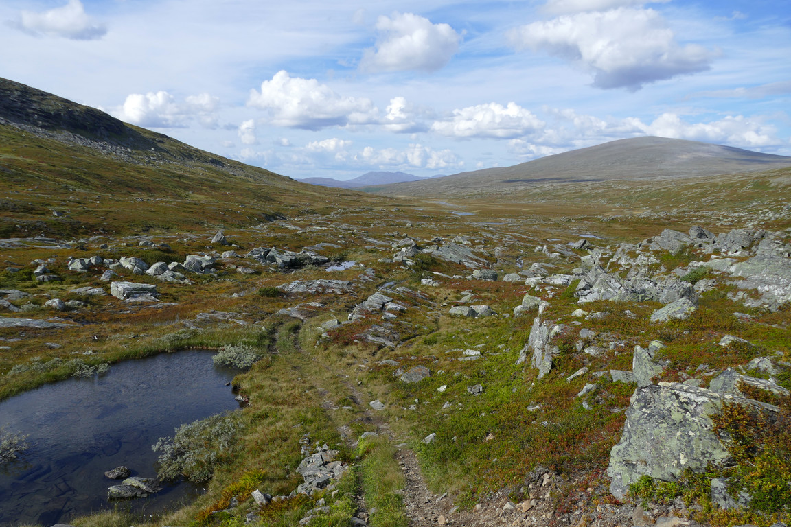
Exiting
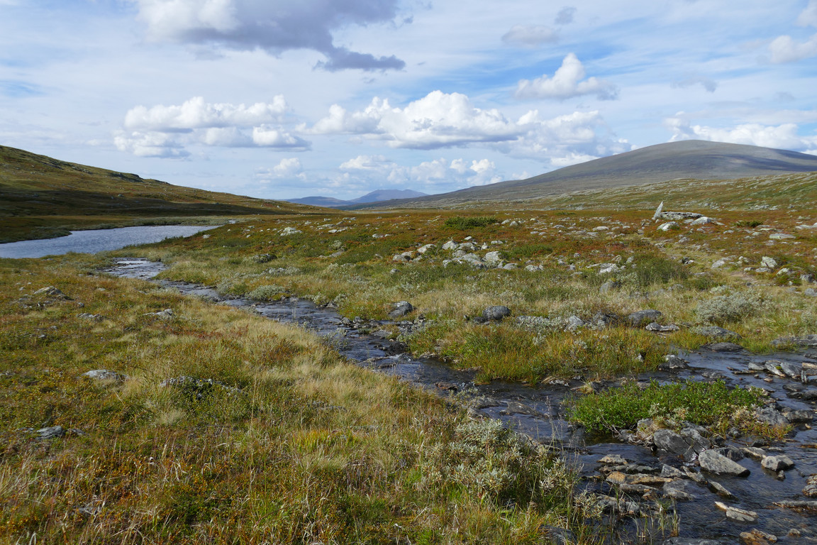
Down to...
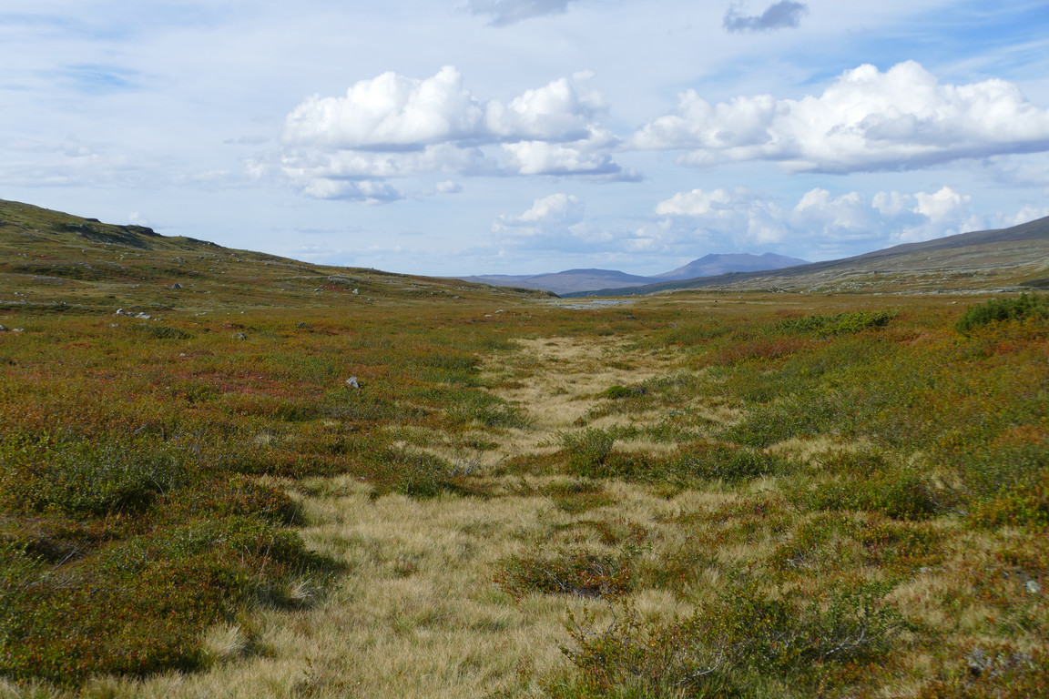
...the plain
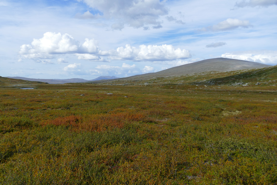
Towards Gåsen
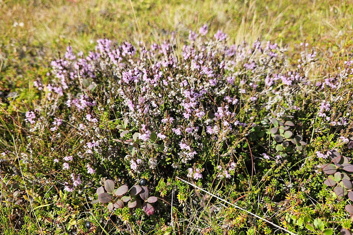
Many of these and suchlike
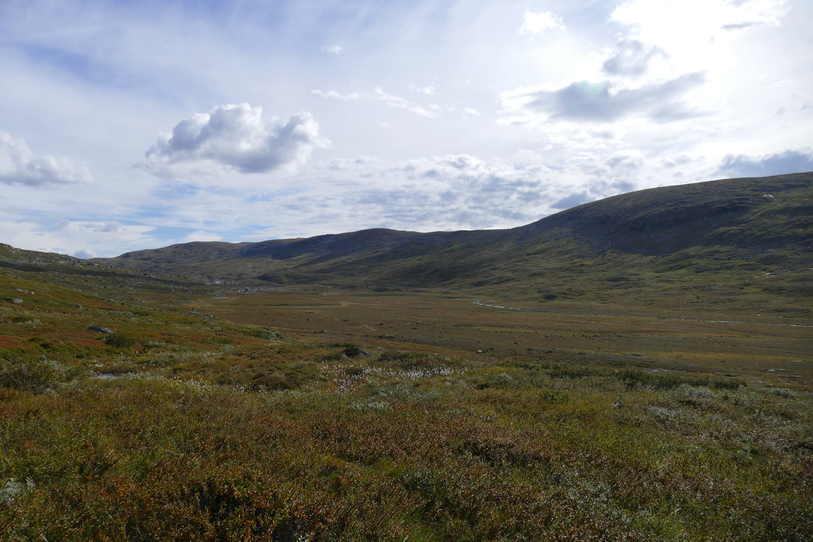
Flat indeed
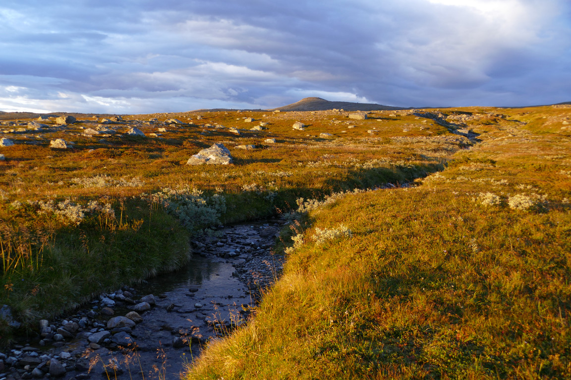
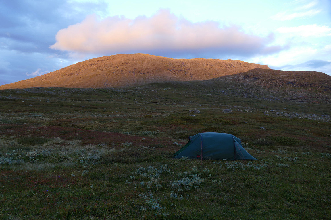
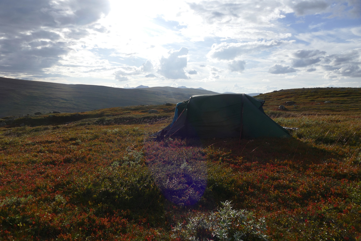
I passed a sizeable brook and reached a very, very small one, where I left the rucksack on a promising (and quite red) patch to have a look around – and just below it I found a much better spot with very soft mossy grass, which would be a welcome change from the two nights I had spent on fairly hard ground at Helags. This turned out to be close to a larger course of the brook, with freshly gurgling water, and the hilltop was also near, so I went up onto it and was treted to quite a good view. Since I was fairly tired after a long day and the time was 15:45, I decided to go for the soft spot.
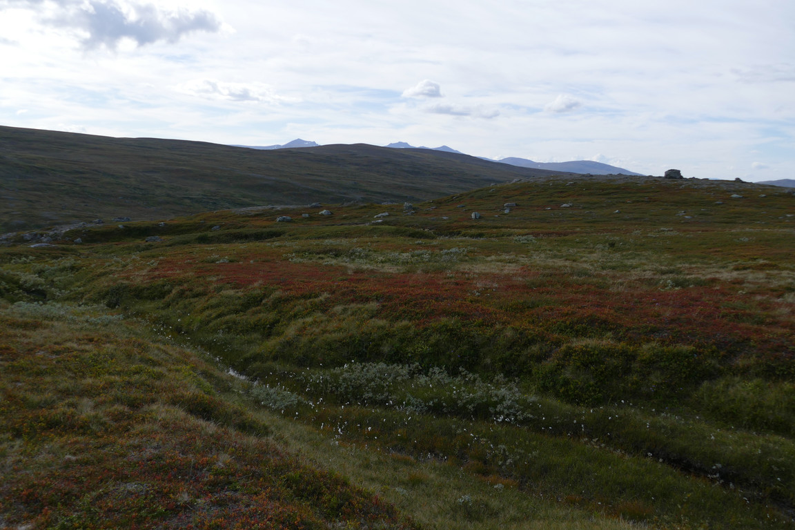
There they are!
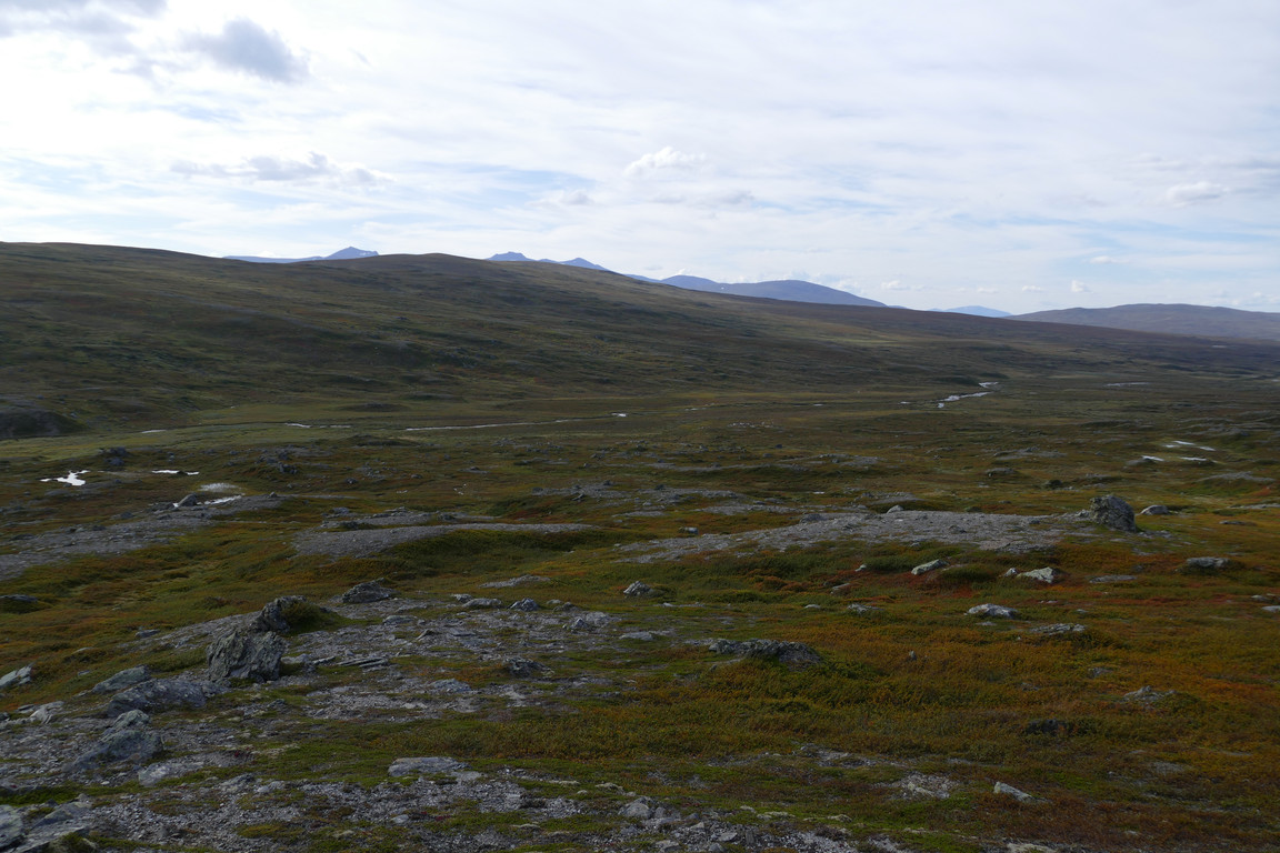
From the hilltop
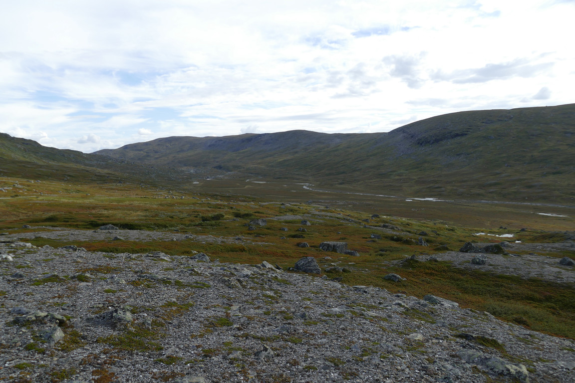
Holkendurrie's mouth
Before doing anything else I sat down and had some reindeer meat, and it was both sunny and warm – albeit still windy. Pitching the tent turned out to be something of a challenge as said wind shifted around quite a bit, forcing multiple retakes to get an acceptable orientation, but in the end I think I had it mostly right. The brook held a perfect bathing place, and after a wash I prepared dinner in the tent's opening to get out of the wind, while a helicopter from the north passed straight overhead. While the food congealed I walked back up onto the hilltop and sat down on a large rock to eat with the valley spreading out before me.
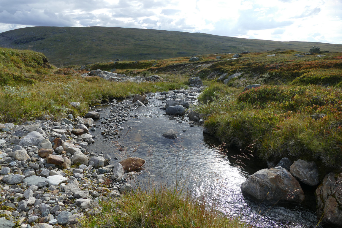
For washing
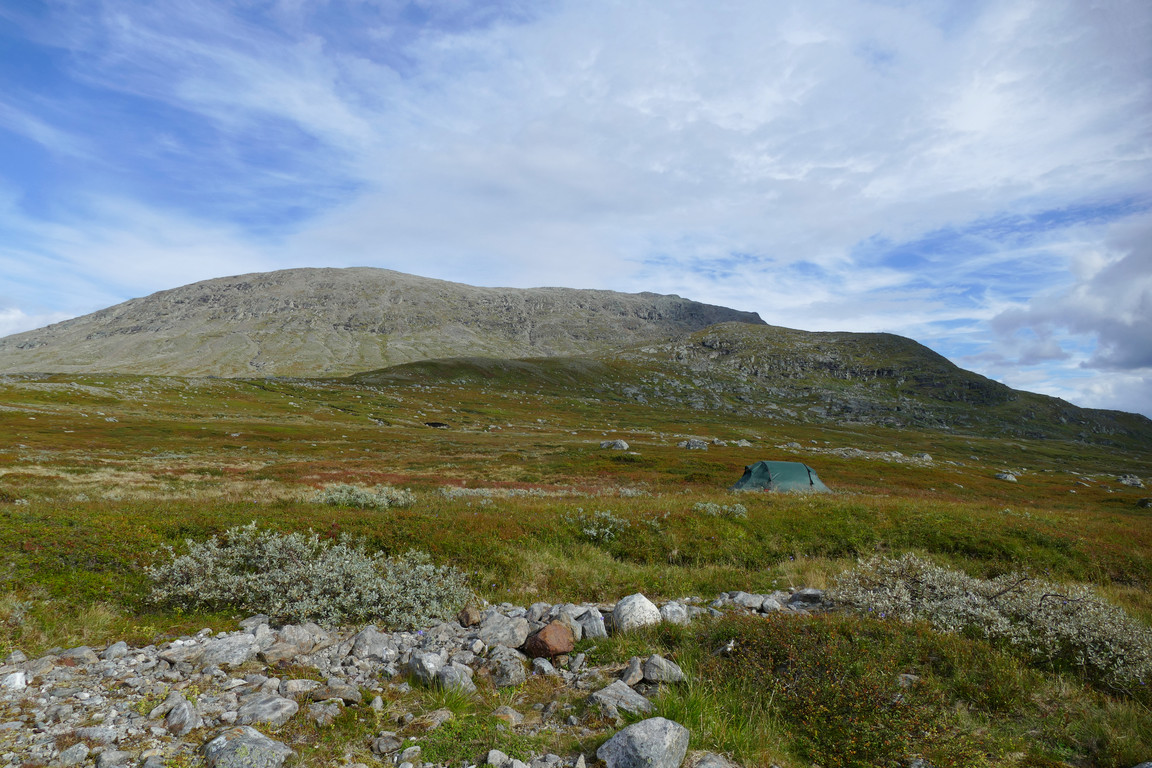
Good spot
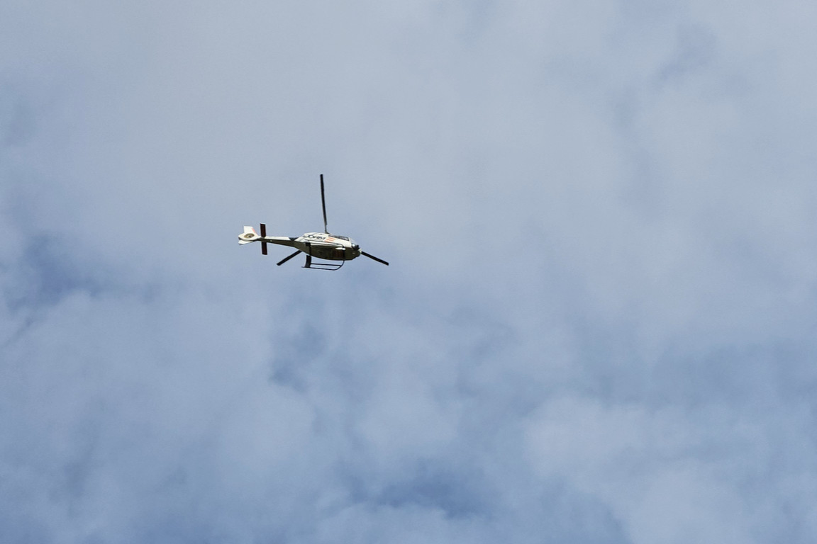
Passer-by
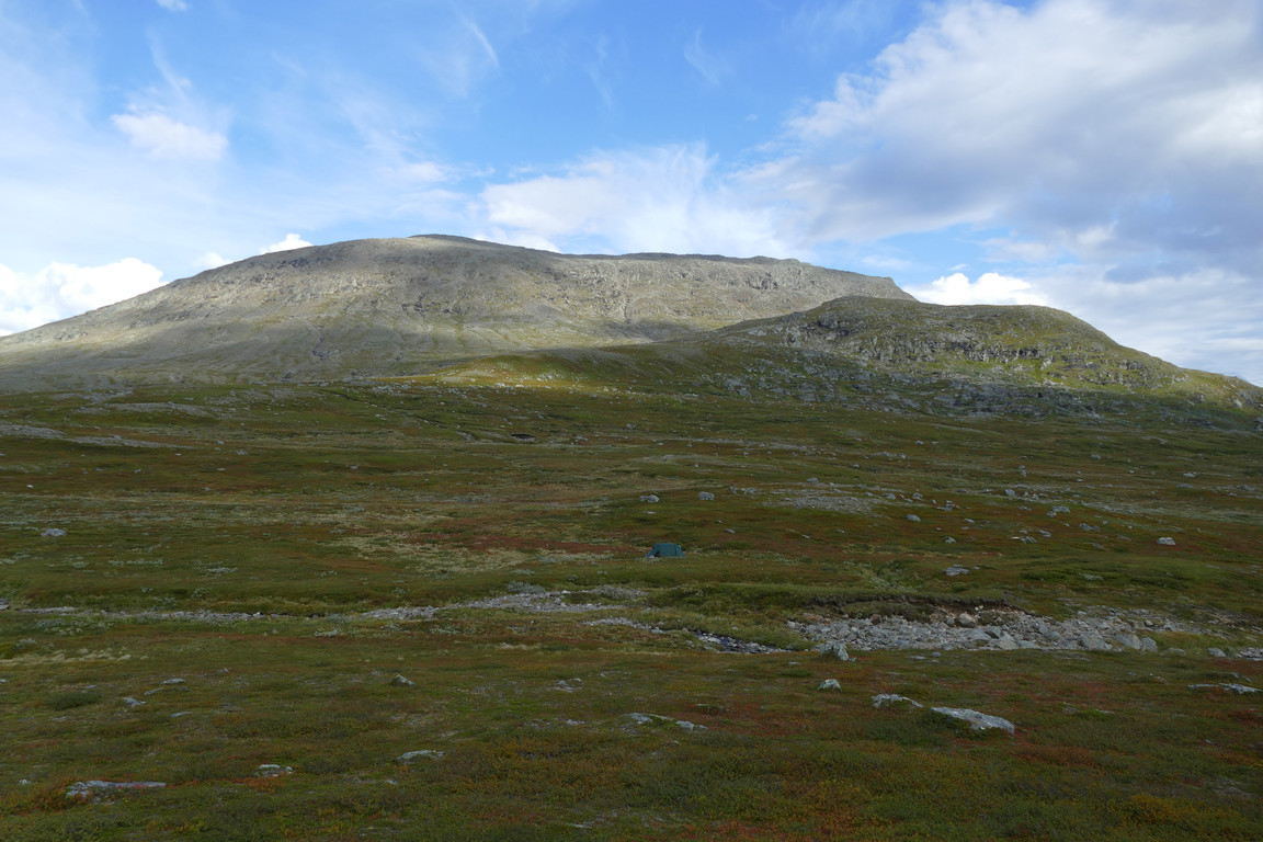
Spot the tent
It was now mostly cloudy, but the base was high and there was a generally light feeling. The wind kept shifting, and when it was stronger it was chilly to be in it. After a short stretching session to alleviate the tiredness in my thighs I moved inside the tent and rested on the soft ground until the returning sun drove me out, where I spent some time reading. When the next large cloud swallowed the primary again I went back inside and relaxed with crosswords, noting a few light drops on the canvas, and then read for a good while.
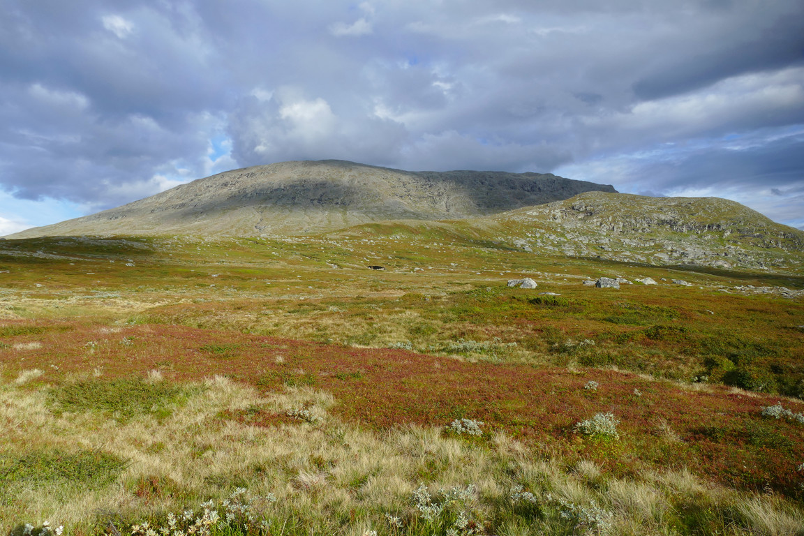
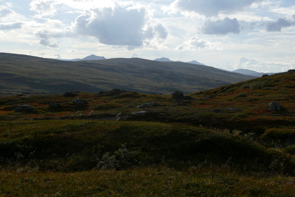
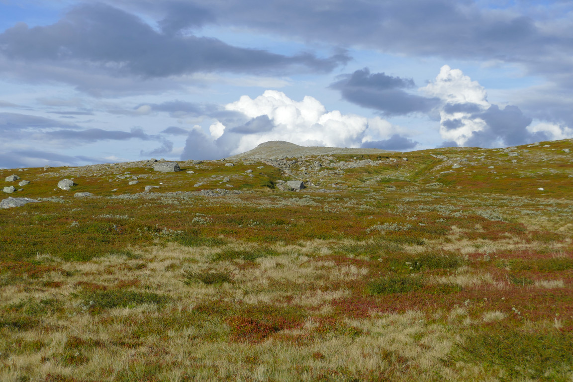
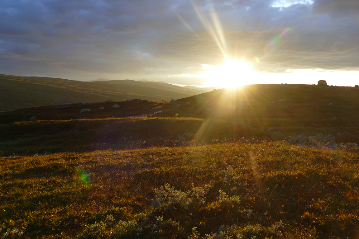
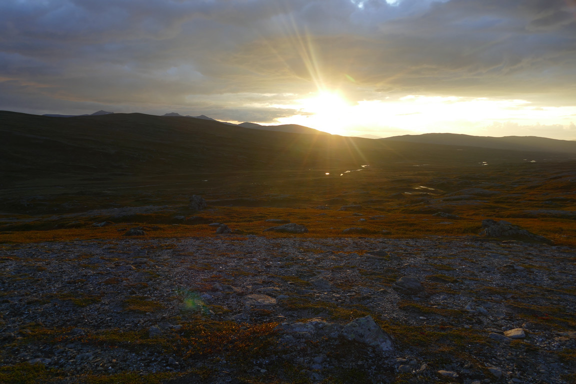
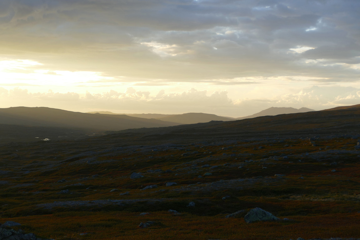
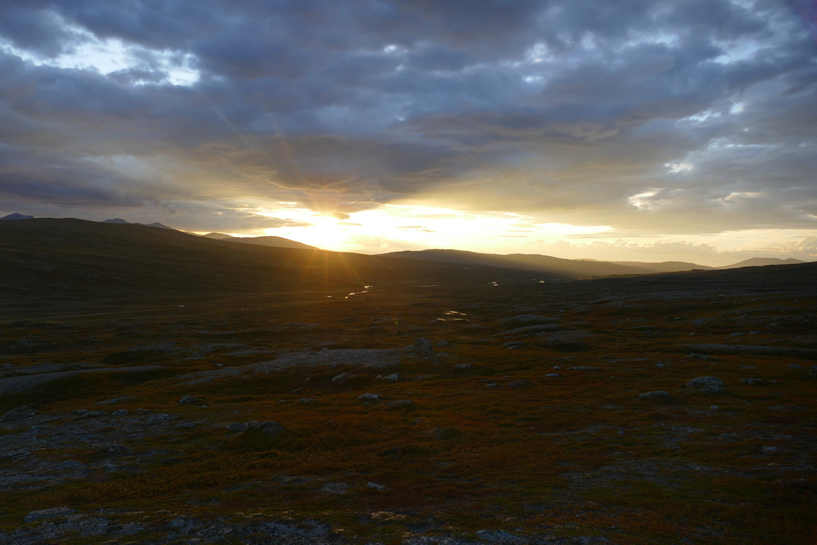
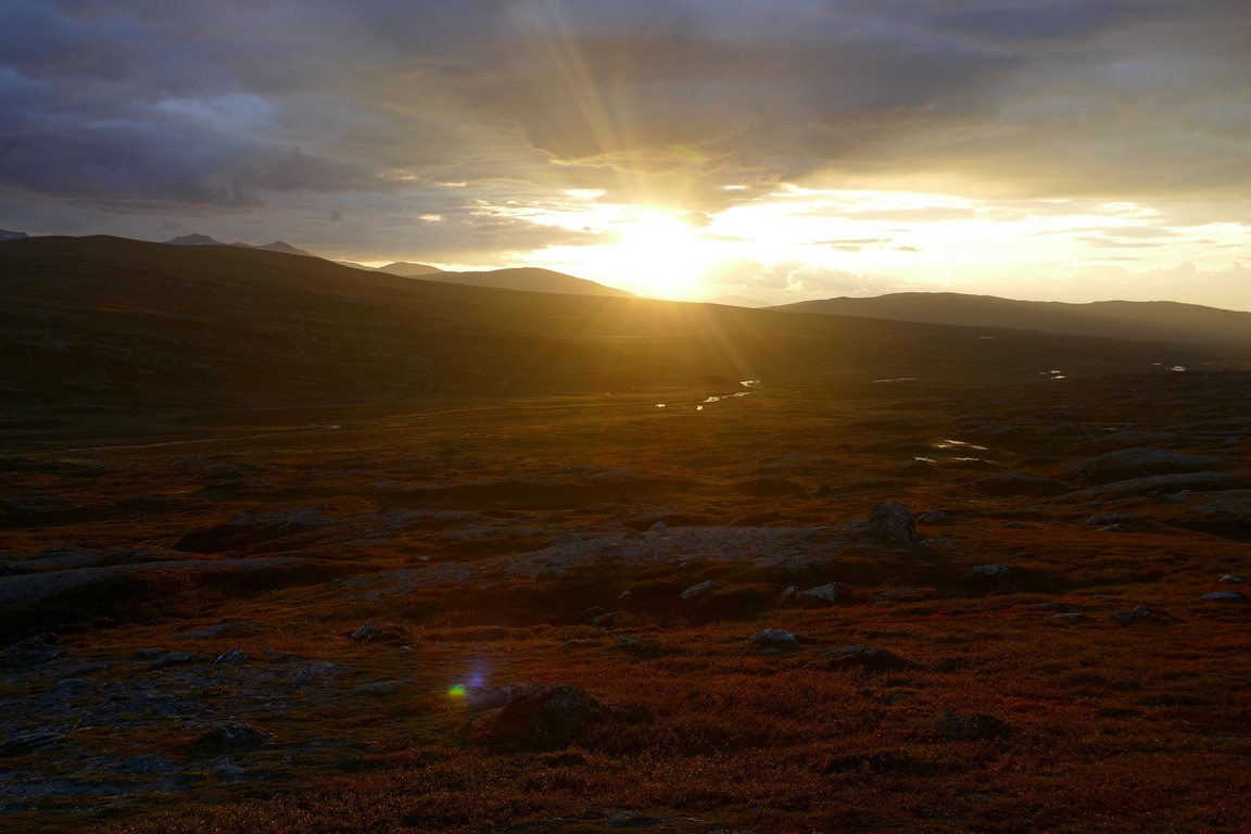
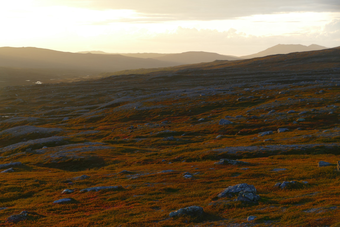
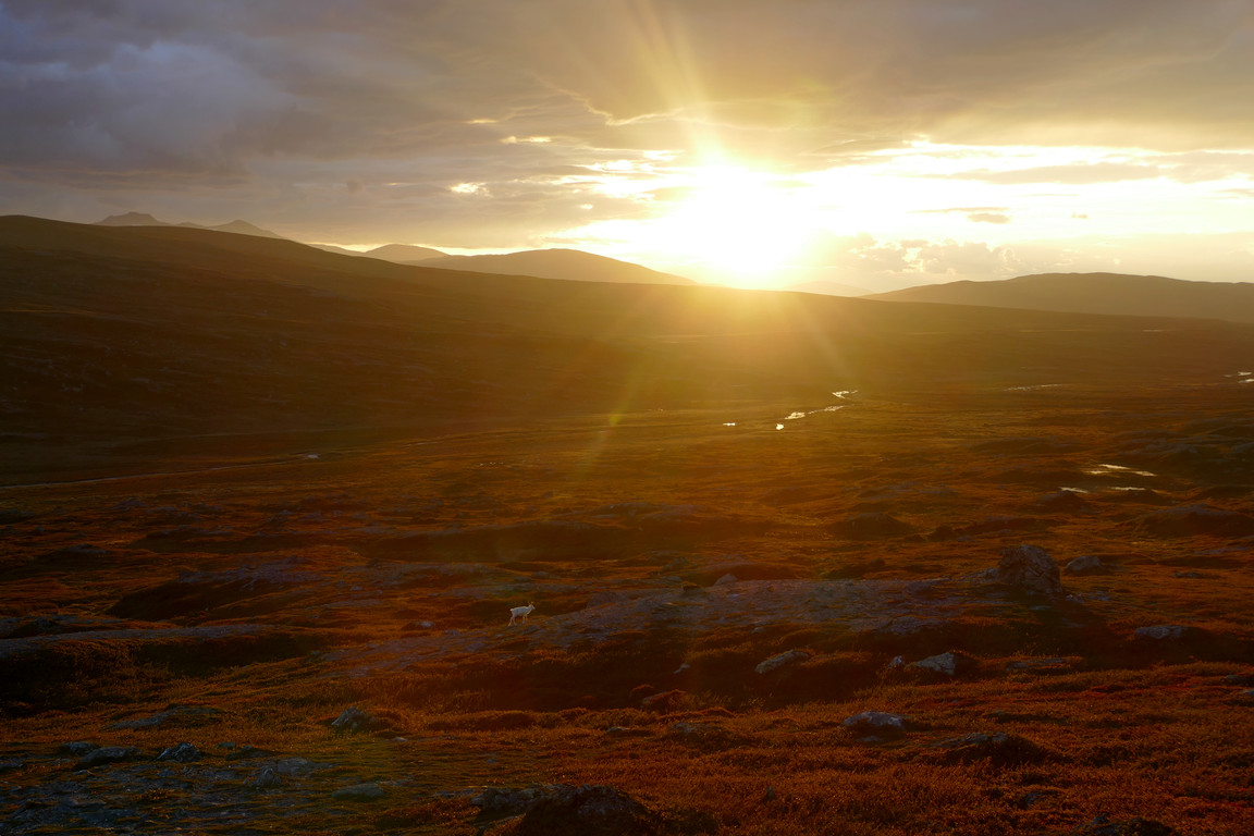
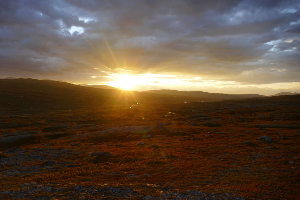
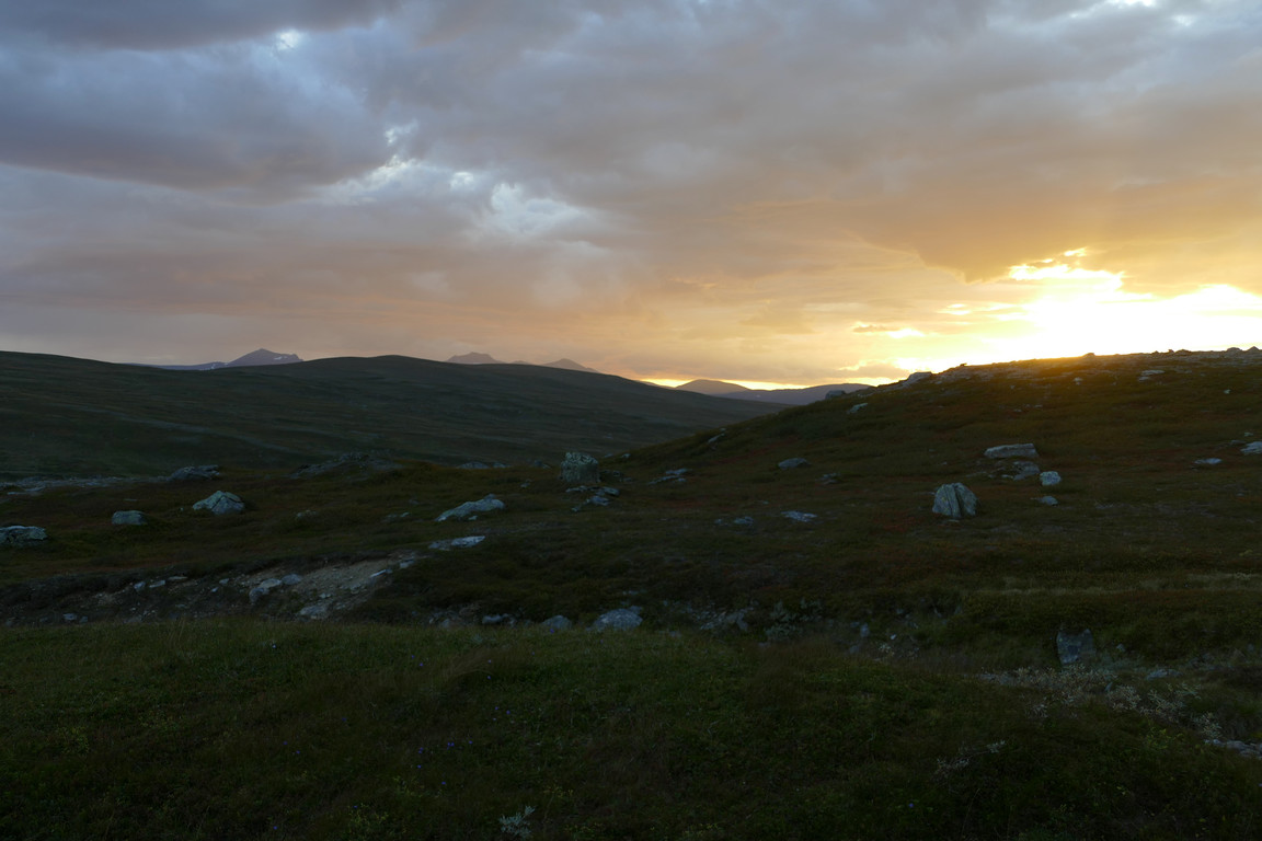
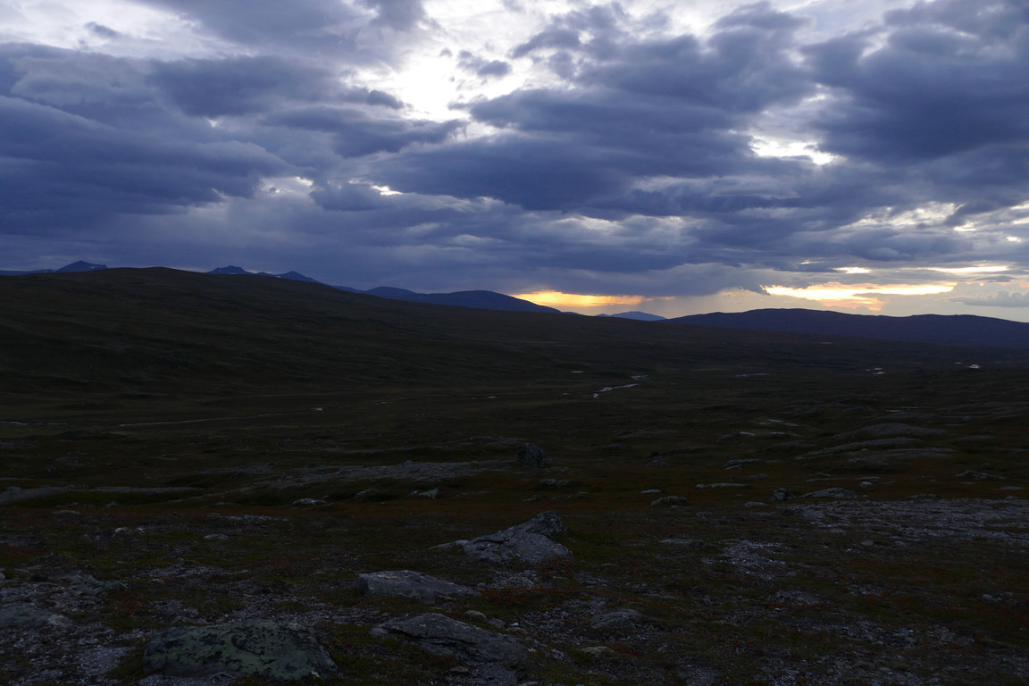
Eventually the sun broke through again, and there was a warm light all around where it hit even though the wind remained on the cold side. I climbed the hill and was quite awed by the vista it now offered, turned golden by the setting sun – and the scene was made even better by a small group of reindeer passing by in the foreground, one of which was blazingly white. I remained outside until the sun sank into a thicker cloud, and then did what I could to secure the tent against the unpredictable wind before returning inside to continue reading. After an evening snack I went out in the last light, finding the sky almost covered by clouds, but visibility was still full. As dusk was now well underway I had to resort to artificial light to continue reading for a while longer, and then turned it off to sleep around 21:45.