Friday 22/8

Labbá/Labbájåhkå
| Horizontal distance: | 18 km |
| Vertical distance: | +600 m, -600 m |
| Time: | 5 h 45 min |
| Lunch break: | 30 min |
| Dinner: | – |
| Night accommodation: | – |
| Stage classification: | Medium/Hard (comment)
The hard part was the steep snowfield, because yipers.
|
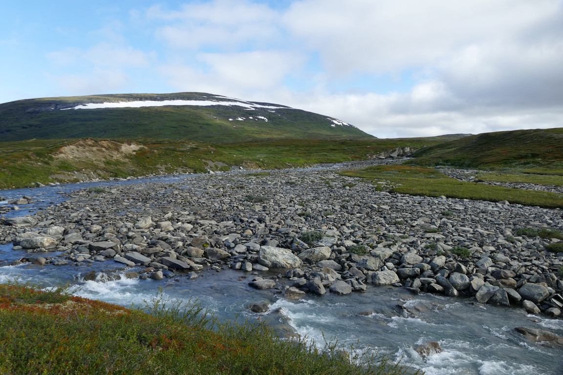
The trail across the plain was somewhat wet here and there, but it was easily circumvented. I held a fairly high tempo, finding the shoes perfect for that, and as I progressed I couldn't help but notice the abundance of cloudberries all around. It was sunny on and off, but after I had hopped on rocks across the ford I mostly moved in shadow. After the Labbájåhkå bridge I turned up about halfway between that stream and Lájrrojåhkå, finding my way on heath and grass around various wet patches, looking for drier connecting passages.

Past the delta

Ford
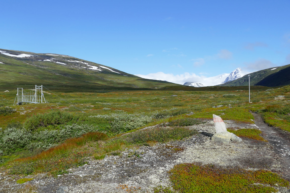
First bridge
Rocky
Closer to the larger tributary stream I walked between and then upon a series of ridges, and then crossed said stream on large rocks at a narrow place. On the other side it was very flowery, and now the sun was back which together with the lack of wind made things warm, so I removed the wind jacket at the next little brook.

On the ridges

Above the ridges
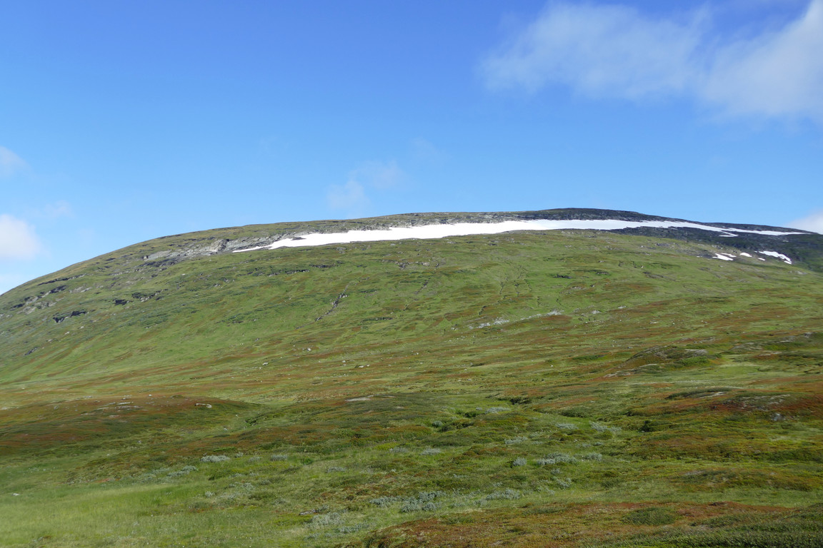
Labbá rising ahead

Bells

Cups

Clouds at the massif

Cute ones

Higher up
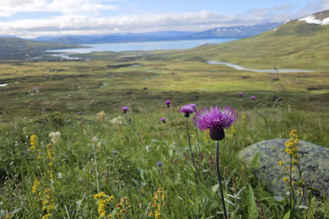
Shortly thereafter, however, the sun passed back into cloud and the wind picked up again, which made for decidedly cooler conditions, but as I had now started climbing for real it was still OK, especially since the sun returned after a while. I ascended on grass along and across several small brooks splashing down from above as the cloud content grew in the sky behind me, but ahead it still looked very blue.
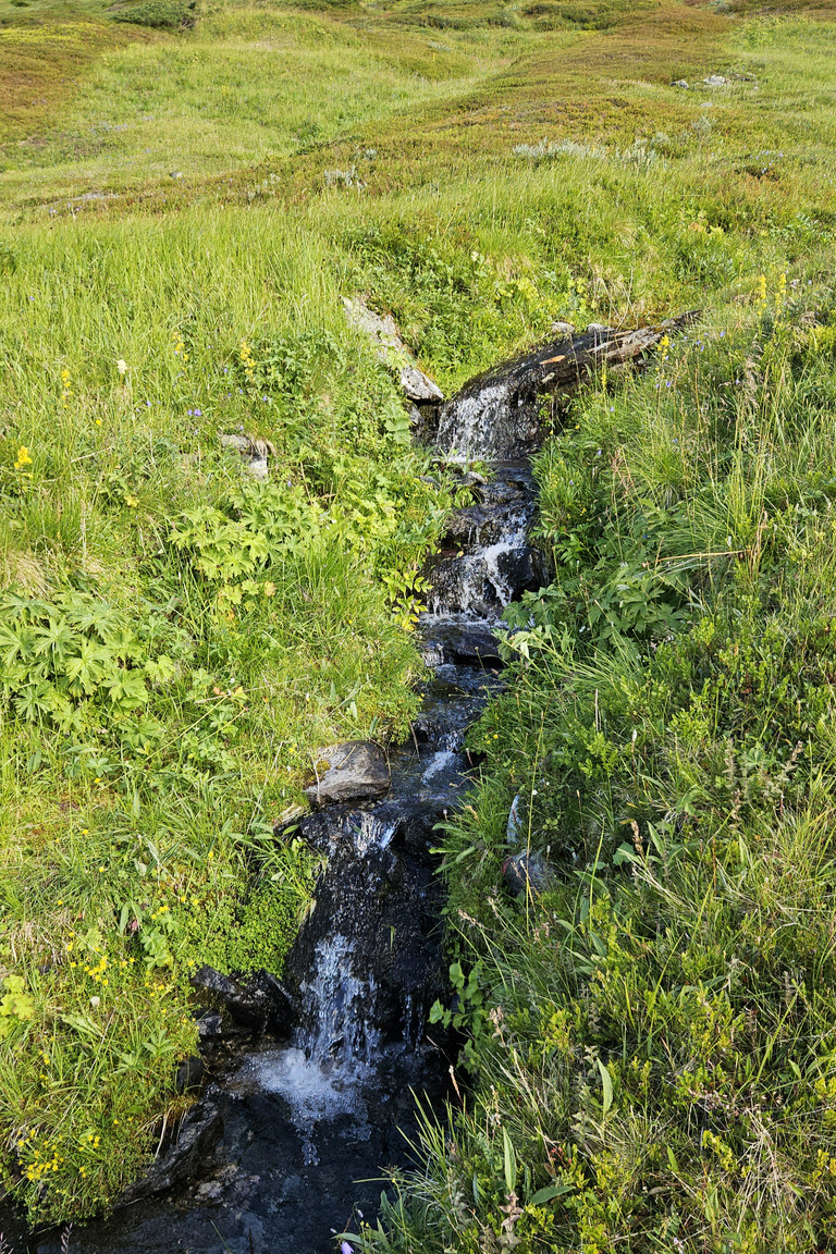
One of several
Much of this

Lájrrojåhkå below

Up I go

Lájrrosläddo below

Ferny

Steeper

Looking eastwards
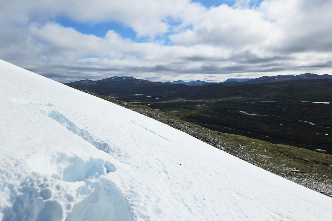
I soon came to a plateau of stony/mossy ground below the large, wide snowfield which barred the way further upward. I tried stepping on it right where I was, but found the surface too steep, hard and slippery for the shoes' soles, so I stepped off again and walked eastwards a bit in the wet, springy gravel, and then made another attempt where the incline was somewhat less. As long as I was careful to kick footholds into the surface before shifting my weight to the other foot this worked, even though it was rather challenging and I really had to keep my concentration as a fall could potentially be quite risky.
I slowly made my way up at a very shallow angle, turning around carefully several times seeking out better purchase. There were traces of reindeer around a couple of crevices which were not deep enough to be of concern, but rather offered a break from the slant. What was both deep and concerning was a bergschrund of sorts where the snowfield met the nearest naked rock faces, so I carefully backed off and continued on to a snow-filled niche where reindeer had previously gathered, testing the support of the next step very carefully with my walking stick before taking it. Finding the results quite safe I finally managed to reach terra firma, and stood breathing for a while. That was quite an obstacle.

Start of snow

Schrund

On the snow
Small crevice
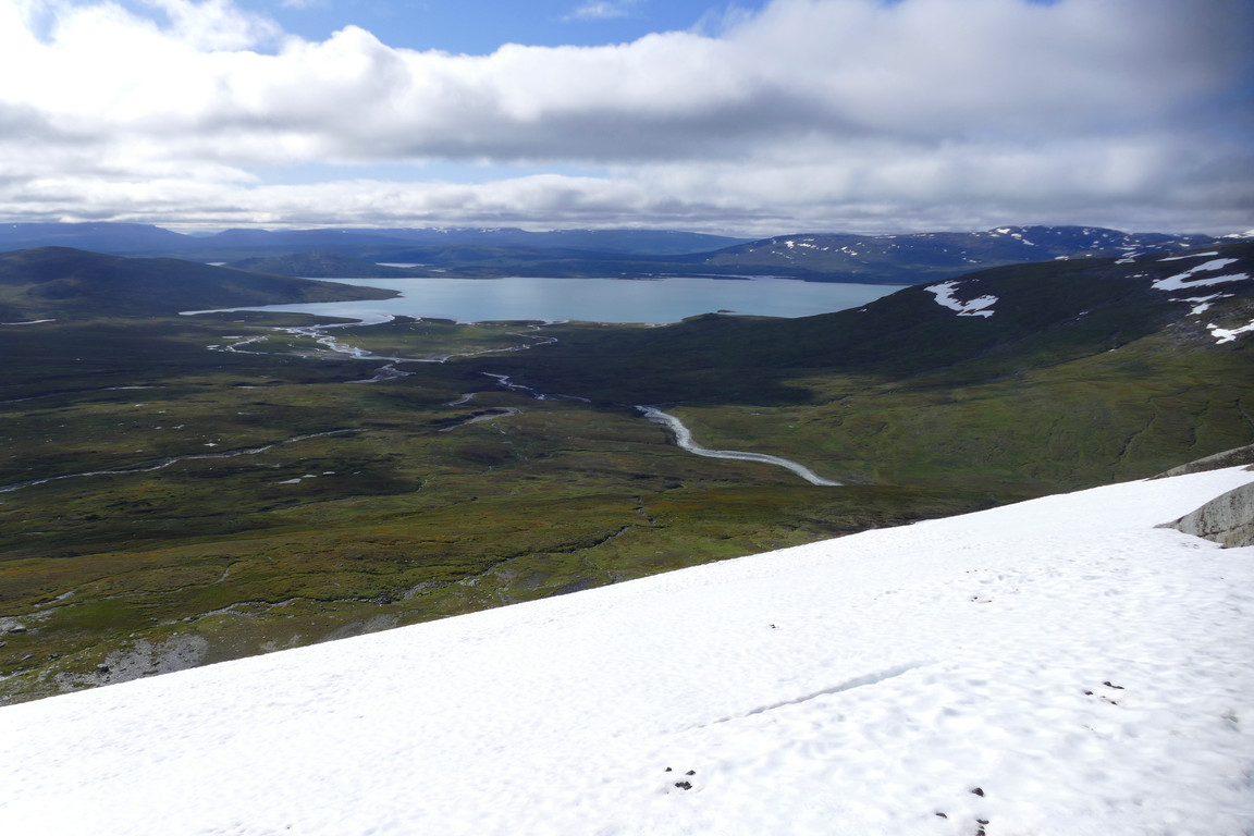
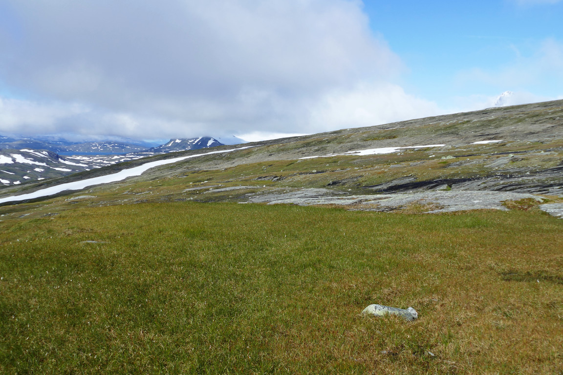
I wound my way between the rock faces to an area of grassy dirt and then headed straight up towards the next crest, rounding some wetness produced by rivulets from higher up. Suddenly Suliskongen rose above the near horizon, so that was still free at least, but the clouds seemed to have spread far otherwise. I came up to a plateau from which I could see the antenna station on the summit some distance away, and set off for the last bit, holding a westerly course over stony ground and then another snowfield – flat this time. The last bit up was grassy/mossy, and then suddenly...
Above the snow
Growing views
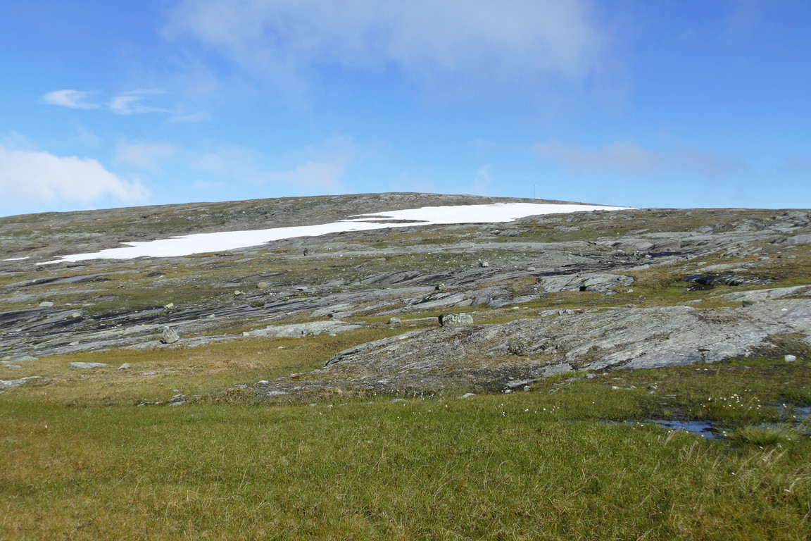
To the top

Far southwards

Another snowfield
...I stood looking out over the Sulidälbmá massif with its two large glaciers Sálajiegŋa and Stuorrajiegŋa. There were clouds hovering around it all, yes, but the highest peaks still jutted up above them, and the whole scene was wild and cool – literally, as the wind was quite appreciable, so the jacket went back on. My position now afforded me a connection with a Norwegian cell tower, so I could let my devices do some stuff which they had been waiting to do, and then sat down on a rock at the nearby northern crest with the peaks'n'ice in full view at 11:30. I put the down jacket on as well, but I couldn't find the gloves that I was sure that I had packed, so I instead shoved my hands in the pockets since it was growing rather cold in the moving air. As I had my lunch the clouds shifted to and fro, but then settled on to when more of their fellows moved in from the southwest, eventually obscuring the sun as well.

Panorama over the massif

Sálajiegŋa

Stuorrajiegŋa

Lomivatnet

Been there

Towards Badjelánnda
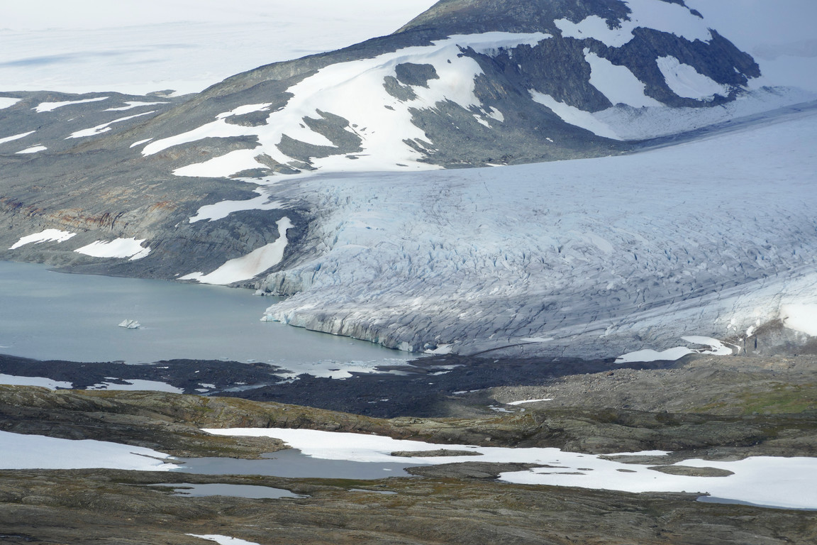
Broken

More clouds...
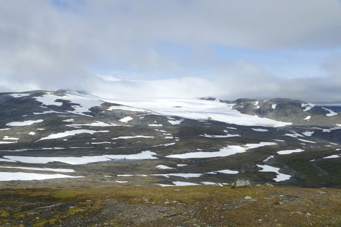
...hiding the heights
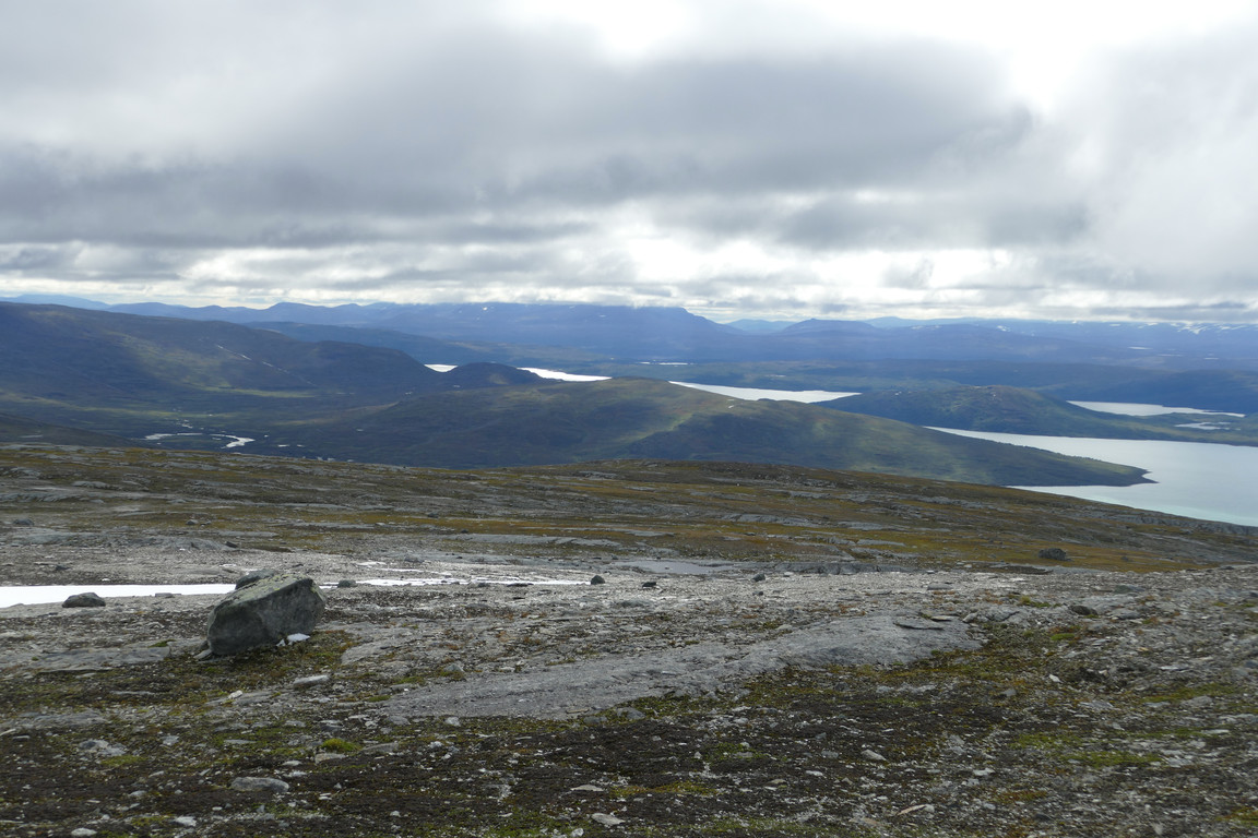
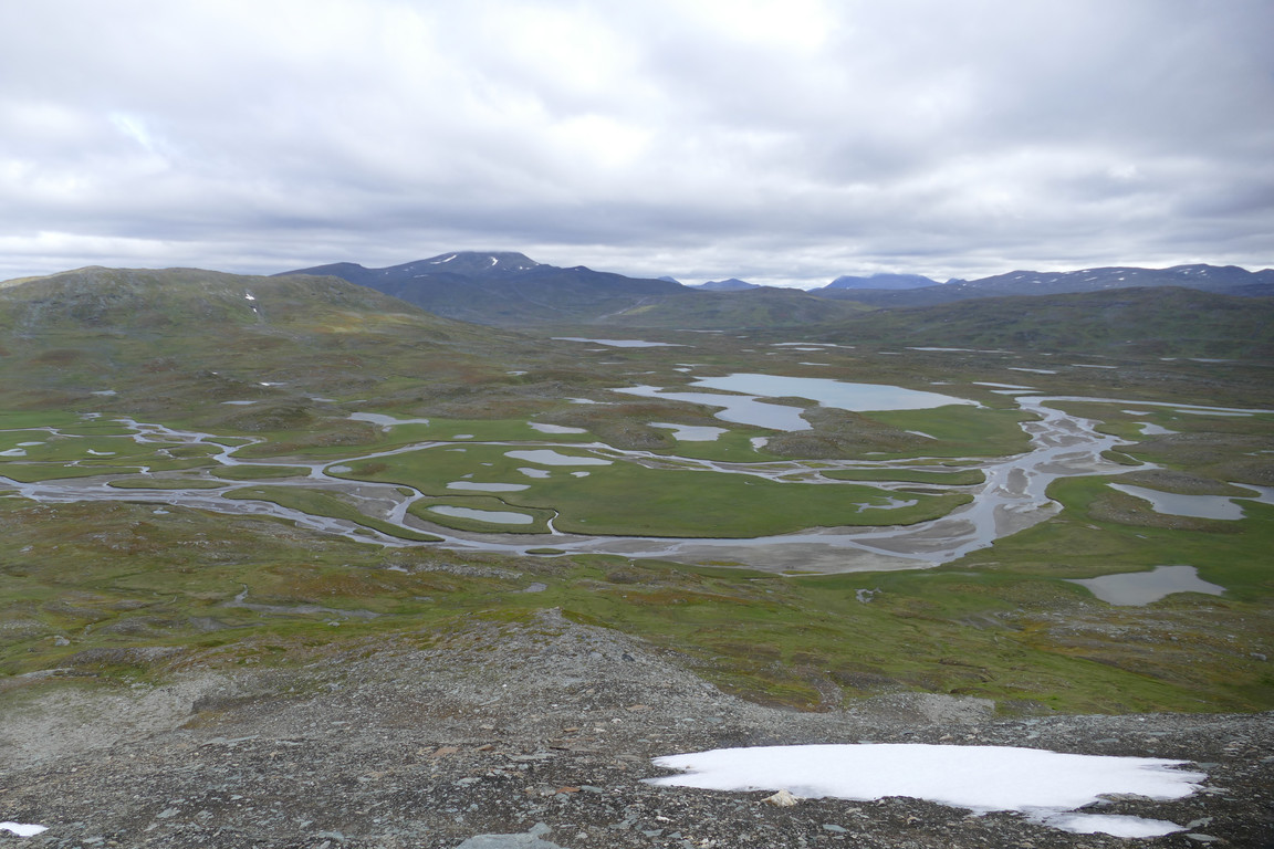
When enough of the view had been thus lessened I set out again, keeping the down jacket on – and suddenly I remembered that I had put the gloves in the wind jacket's pockets, so on they went – quite the relief in the now pretty rough wind. I walked over to the antennae and quickly snooped around before continuing on in the direction of Labbájávrátja. Here the ground consisted of flat stones and dirt, and progress was very easy, especially since the incline was very mild. A few reindeer appeared and then, behind them, a very nice-looking delta landscape formed by the upper reaches of Labbájåhkå, fed by Stuorrajiegŋa. I made my way out to a marked edge in the terrain; it would probably have been possible to get down there, but it looked very reminiscent to the descent from Tsähkkok which I didn't much feel like repeating.

Mast

Bieskehávrre

Ridge after ridge

Cut
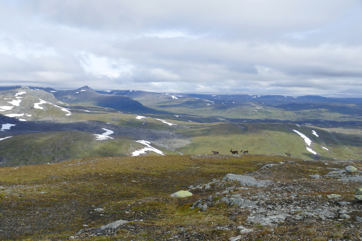
Companions
Flat

Some more snow

Delta appearing

Channel

Wetlands

Downstream
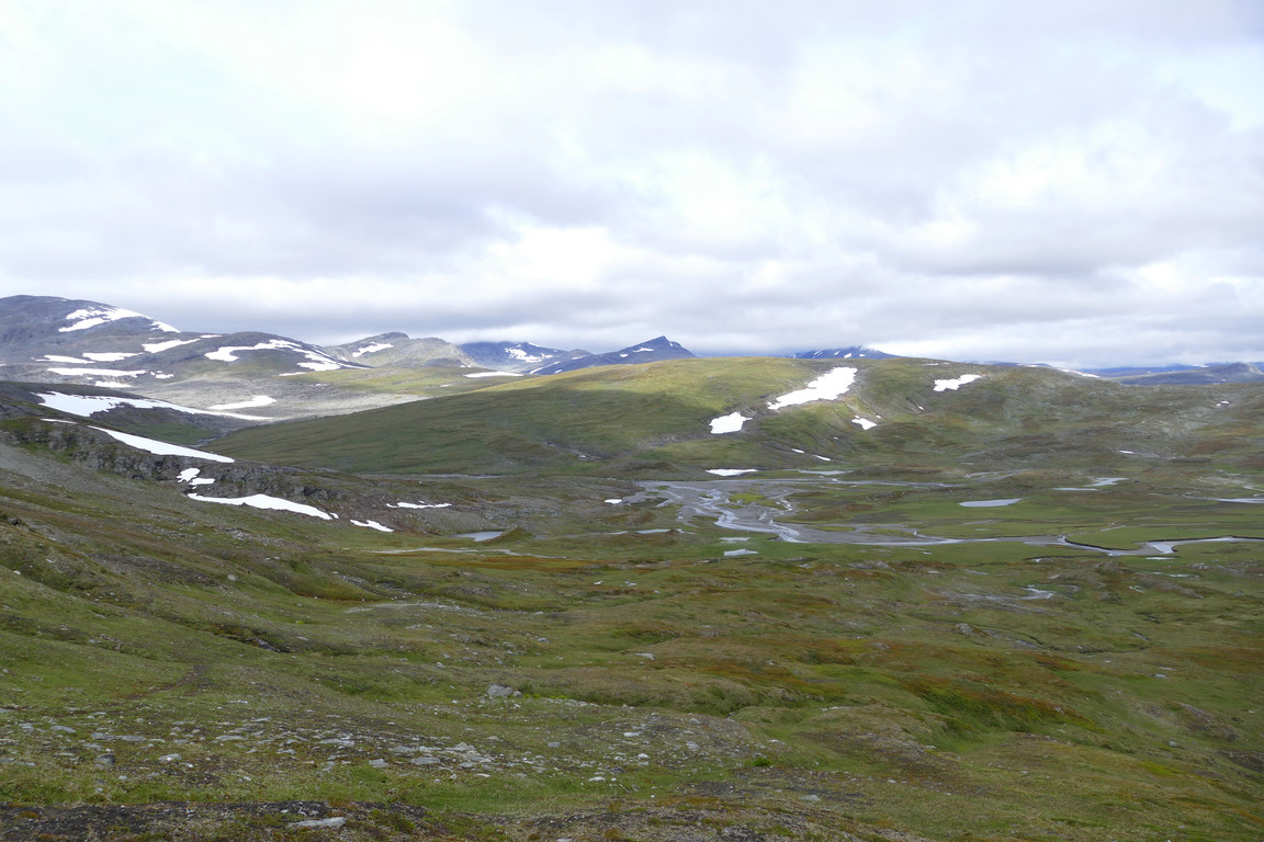
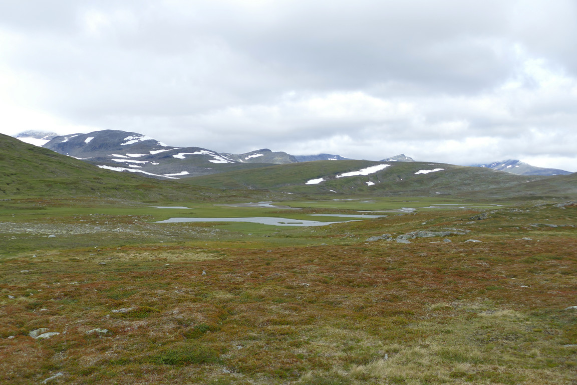
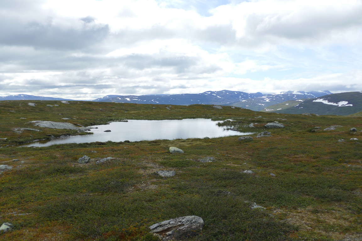
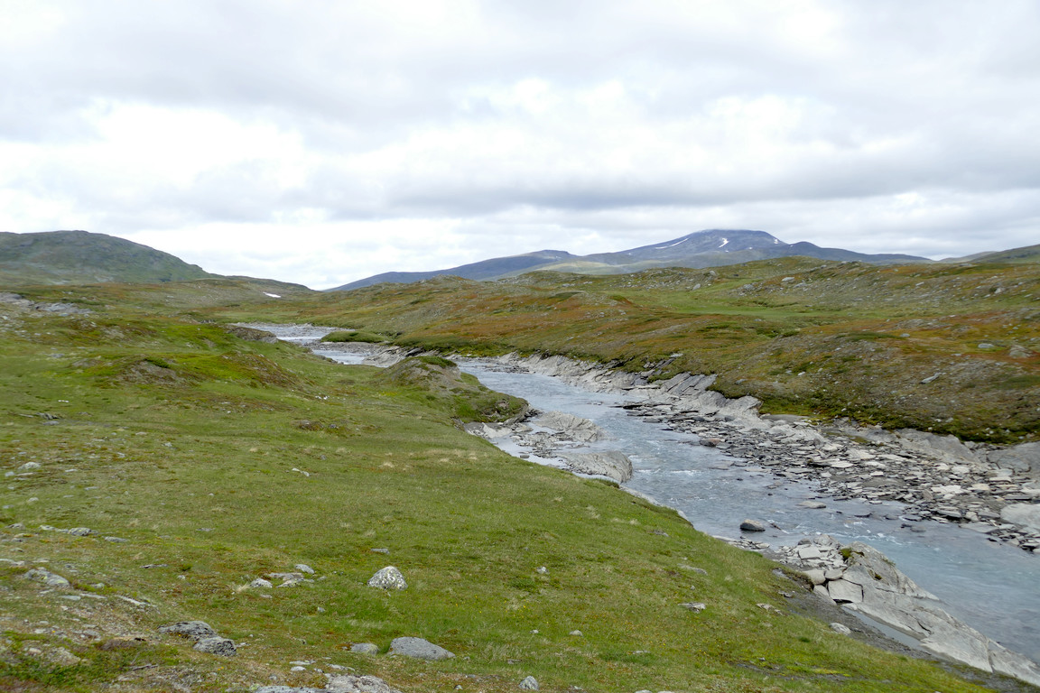
Instead I followed more forgiving ground down towards the east, or even northeast, until I reached a grassy region where I removed the down jacket. I continued downwards and southwards past wetter grass beside the delta, and then passed north of a number of both hills and tarns, negotiating a couple of almost-brooks fed by the latter. Once on drier ground I went over to the rocky course of the glacier stream, and then turned downstream following the brink.
Down to the delta
Upstream

Zoomed

Downstream

Steeper slope there

Down at water level

Rounding

Smaller one
Growing distance
Another
Labbájåhkå
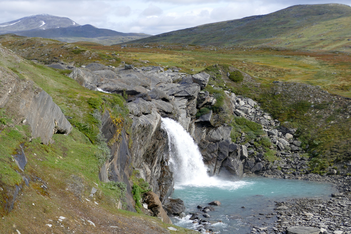
Here it was mostly back to dry heathland, and I made good progress. Soon I came to a grand waterfall with its own landing pool, which made for a very pretty scene, but getting around it turned out to be somewhat of a hassle; there was a narrow passage next to an outcropping, but as the limited foothold didn't feel quite safe I climbed up a bit again before I could return to the edge and have a good look at the fall from the side/below. Just then the sun had the good timing to come back out, and the view was quite something – also wild and cool, but in a much different way than on the summit.

Downhill

Small falls...

...leading to a larger one

Precarious passage

A number of photos...
...of the waterfall...

...and the pool...

...it all their splendor
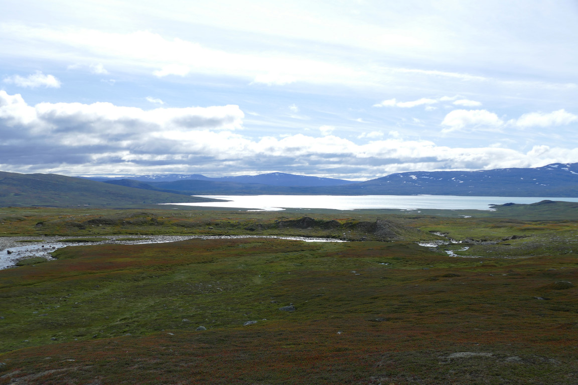
From there I walked close to the edge, passing some rather pointy small hills, and then came to a region of rapids gushing over rock faces. Now the clouds appeared to be breaking up again, and even though more of the massif had become visible again the peaks were cut off, so my timing up on Labbá had been just right. After a period of near-stillness the wind suddenly picked up again, and now it came at me from the front, so I kept the wind jacket on. Next up after a smaller waterfall was a large heath plateau which I rounded close to the water, and then it got grassier again.

Small hills

Colors

Fordable

Rock faces...

...in Labbájåhkå
The plateau...
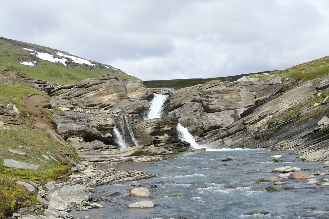
...after the fall
After some more rock faces in the stream I suddenly caught sight of the bridge further down, and followed reindeer paths the rest of the way there. I was just about on time to hit my proclaimed return, so I marched on across the plain. I didn't see anyone out and about, though, but what I did see was that one of the windows on the northern side of the guest cottage appeared to be open as I neared the place at 15.

More gushing...

...and rock faces

Snowy massif
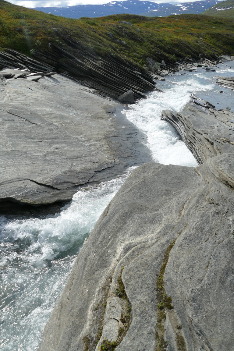
Even more...
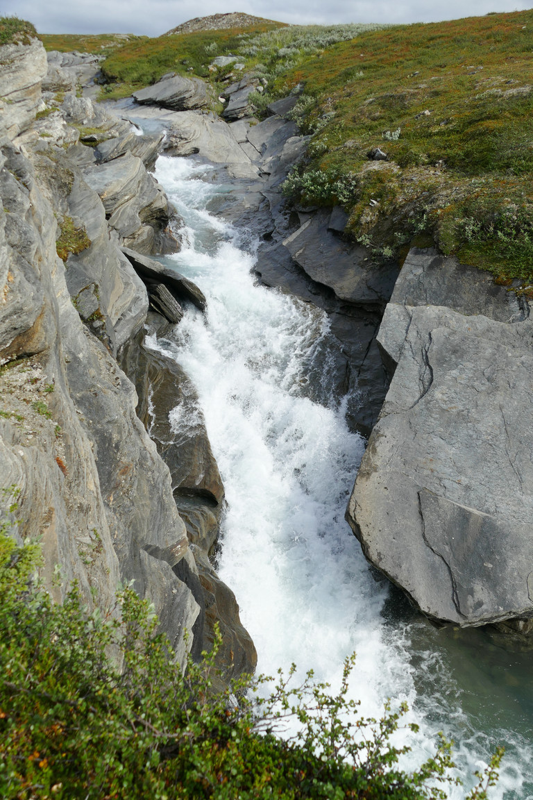
...of this

Final bit
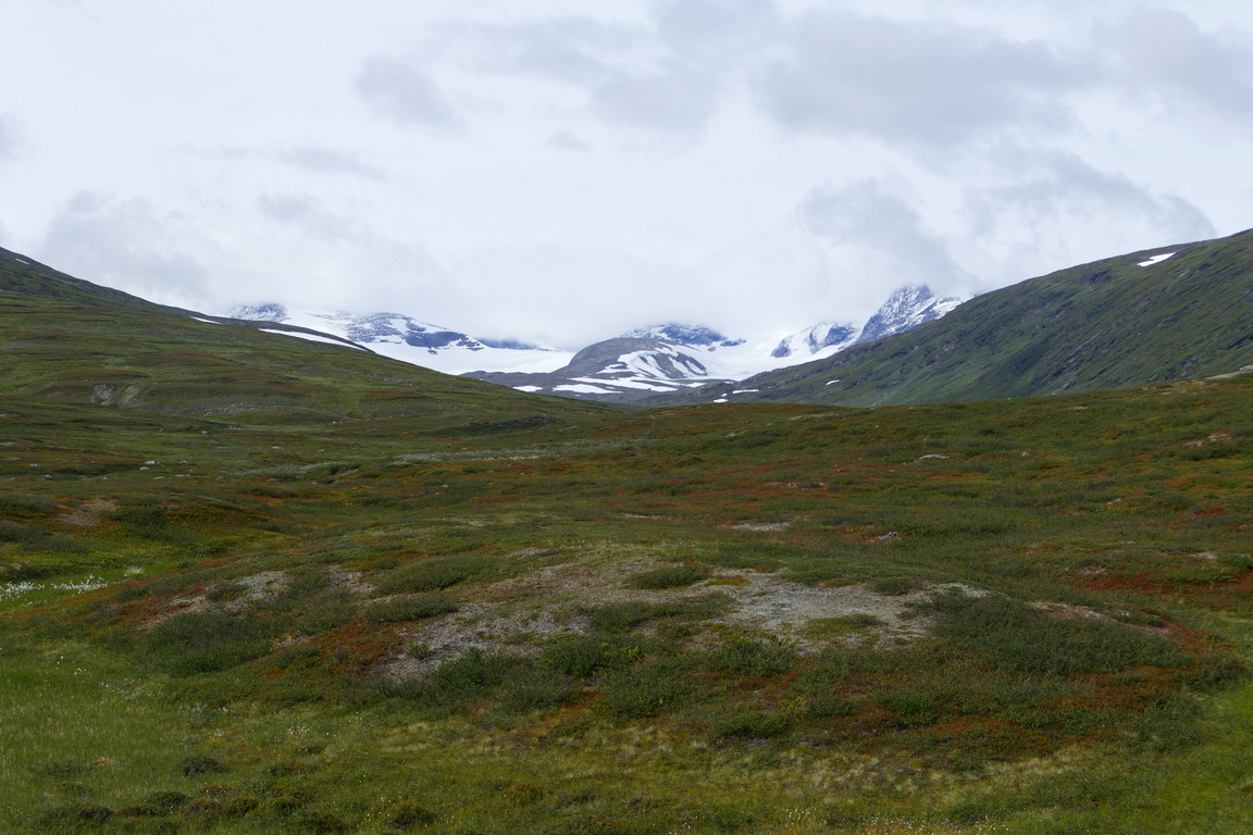
Clouded

To the bridge

Back at the delta
« Return to Pieskehaure report