Saturday 2/8

Bieskehávrre/Dälbutnjárgga
| Horizontal distance: | 4 km |
| Vertical distance: | (negligible) |
| Time: | 2 h 15 min |
| Lunch break: | – |
| Dinner: | – |
| Night accommodation: | – |
| Stage classification: | Easy |
I cut across the terrain to the old southbound path which was quite dry, and still marked by clear cairns. The path held a somewhat high course, so before I got too far from the water I turned down across a heath rise where there were no bushes. Almost at once I spotted the canoe lying upon the northern shore of the bay immediately south of Dälbutnjárgga, so I aimed straight for it. This brought me across a cloudberry mire where most berries were still maturing, but some seemed ripe already, so I made a note of this for a later return. Once at the canoe I pulled it down into the water, took off the shoes, and went in with the sitting pad on the bottom.

Leaving

Bay in view

Mode of transportation
The bay was very shallow but the depth was just enough for me to paddle slowly along, and since the bottom consisted of sand anyway a little scrape here and there was fine. I worked against a slight headwind as I held close to the shoreline, feeling quite safe as it never got deeper than half a meter or so. I soon came to a long sand bar reaching out across the bay, where I aimed for a portion that was still submerged. Here it was shallow enough that I had to get out and drag the canoe across the bar well out there in the water, which was a somewhat peculiar feeling.

Heading out

Li'l beach

Shadow

Not adrift
Back in the canoe I noticed that the water was somewhat deeper, so I paddled back towards the shoreline. The wind was now appreciable enough that it turned the canoe when I took a break, but it was still westerly and so served to bring me back rather than further out. I continued paddling along the shore until the Sulidälbmá massif rose over the land, which was a great view, and I then turned around and started heading back. It was very warm as I paddled along at a somewhat faster pace now that I knew the lay of the, well, water, and this time I managed to clear the sand bar a bit further out without stopping. My final approach to the innermost part of the bay was a bit more direct than on the way out, and then I was on land again.
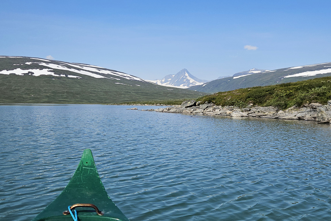
Massif in sight

Open lake

Back in
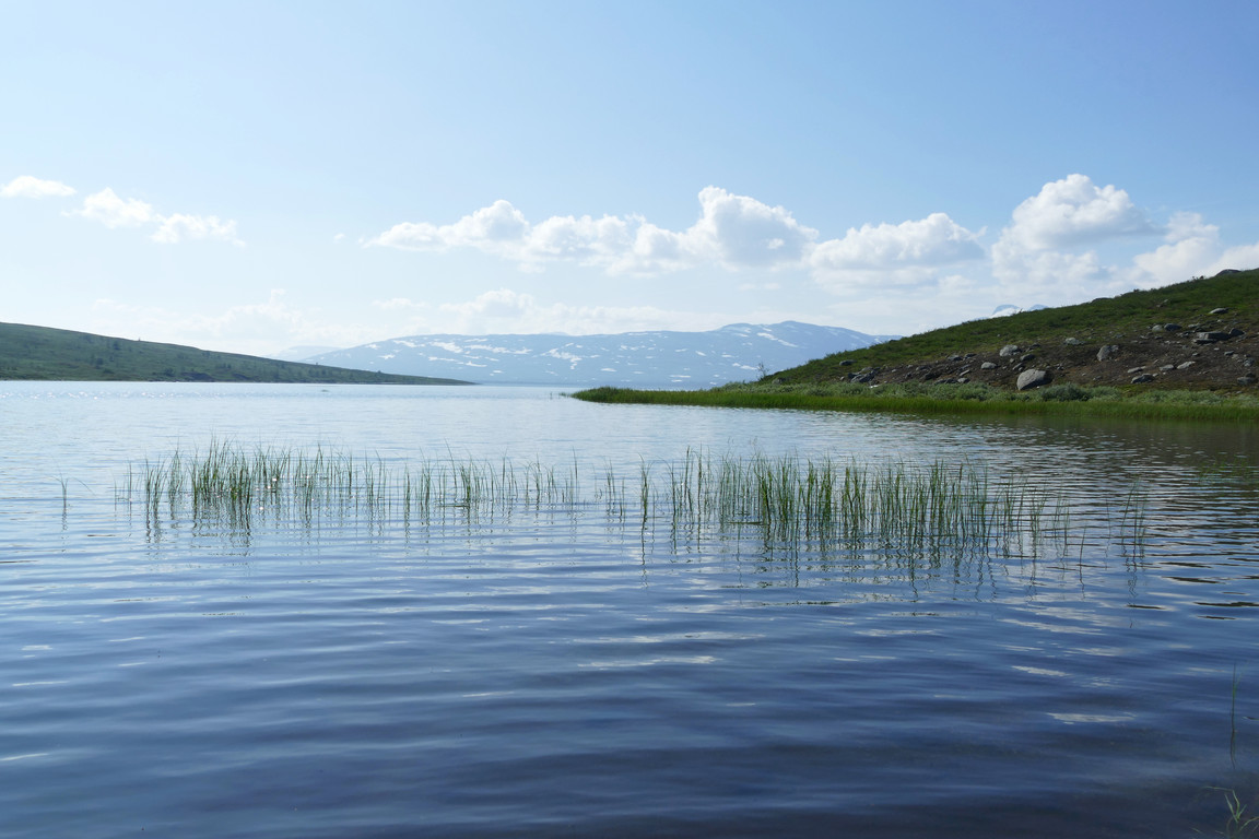
Landed
As my shirt had gotten completely soaked underneath the life vest I sat on a rock at the water's edge for a while drying in the sun, and even though there were a fair number of insects about it was fine. I then pulled the canoe up on land and secured it before putting the shoes back on and getting ready to leave. I started out by climbing the nearby hilltop, where the wind was nicely cooling, and this slightly elevated vantage point produced no evidence of movement. I then passed between some larger mires as I headed straight for Varvvekjåhkå, where I espied an intriguing-looking spot between rocky outcroppings on the other side which looked perfect for bathing in what would otherwise be much too swift a current.

Not going back yet

High

Low
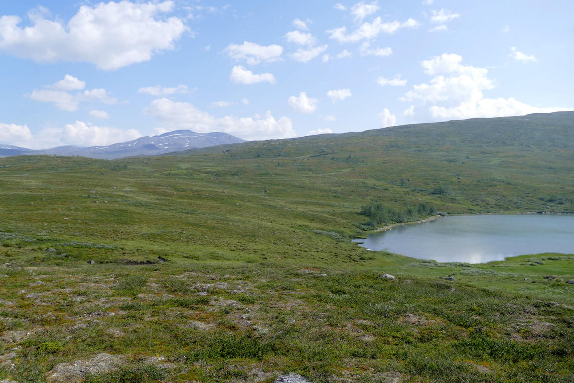
Spot the canoe

Approaching the delta

Nuortta Sávllo across a pond

Stream and niche
I walked downstream, following reindeer paths, and when I got to the outflow I noticed the very pronounced boundary between the clear blue waters of Varvvekjåhkå and the silty green waters of Lájrrojåhkå and Labbájåhkå. I continued out to the corner where the shore turned after the confluence, where there was a flowery meadow that looked like a perfect tenting spot, with the massif in its full majesty across the delta.

Still close
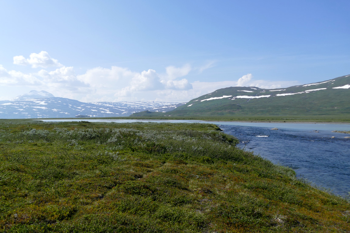
Path-like

Bounded

Bloom
There I turned around and returned along the brink, scaring a group of ptarmigans as I jostled through some low brush. Up at the bridge there was a shallow little bay of sorts which looked like it could be used for bathing, but it was too far from the sauna to be of practical use for that particular purpose. I continued upstream above the bridge for a bit and then broke off towards the guest cottage, passing over an area riddled with horsetail that glowed bright green in the sun before I reached the water path which brought me the final little bit back at 14:45.

Going up to...

...the bathing place
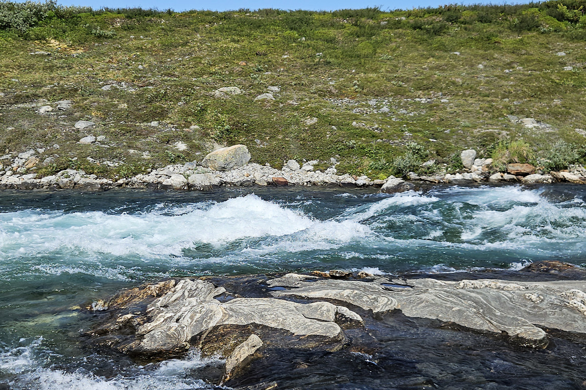
Swift

Above the bridge

More whitewater

Horsetail...
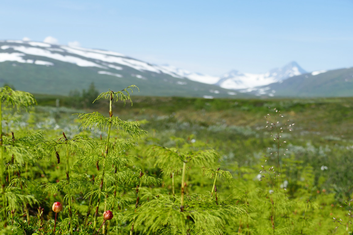
...with the massif beyond
« Return to Pieskehaure report