Saturay 9/8

Gerunvárátj/Dälbut
| Horizontal distance: | 14 km |
| Vertical distance: | +250 m, -100 m, +140 m, -290 m |
| Time: | 5 h 30 min |
| Food breaks: | 15 min, 30 min |
| Dinner: | – |
| Night accommodation: | – |
| Stage classification: | Medium |
I walked the old path from the fireweed thicket around the swill disposal in weak sunlight. The path deteriorated quite a bit as it rounded the bay, with some old duckboards in a state of disrepair and occasional cairns. It still brought me right to the old peat hut that used to be the Pieskehaure accommodation back in the olden days, and the same site was also used for an older cabin until the current guest cottage was constructed some distance away in the late 1980s. The hut was still in pretty good condition for having been neglected for so long, with a missing window as the main obvious damage, and judging from the interior it looked like it could well serve as both temporary and overnight shelter, especially when the wind isn't easterly.

Dälbut rising

Rounding the bay...

...with the canoe

Arriving at...

...the old...

...peat hut

Indoors
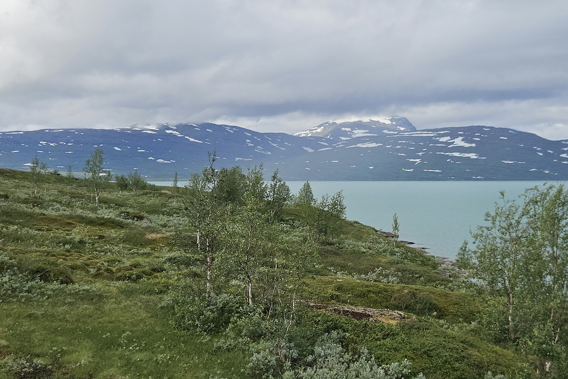
There were quite a few mosquitos about, so I put on some repellant before continuing. I followed the stony shore southwestwards, where walking was pretty easy due to the semi-flatness of said stones, and there was also a long strip of gravel beach. Nuortta Sávllo was still hitting the ceiling, the massif was cut in half, and a shower was happening across the lake, but at my position it was nice still. I went up a bit around a portion of naked rock faces, passing over heath, low shrubs and wet patches, and then returned to a rockier shore. Around here was the last point at which I could still see the cottage, where I could detect no presence.

Walking the shore

A look back

Beach
Up on land

Back on rocks

Rainbow
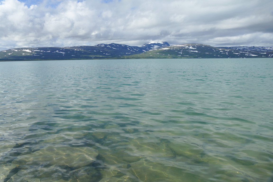
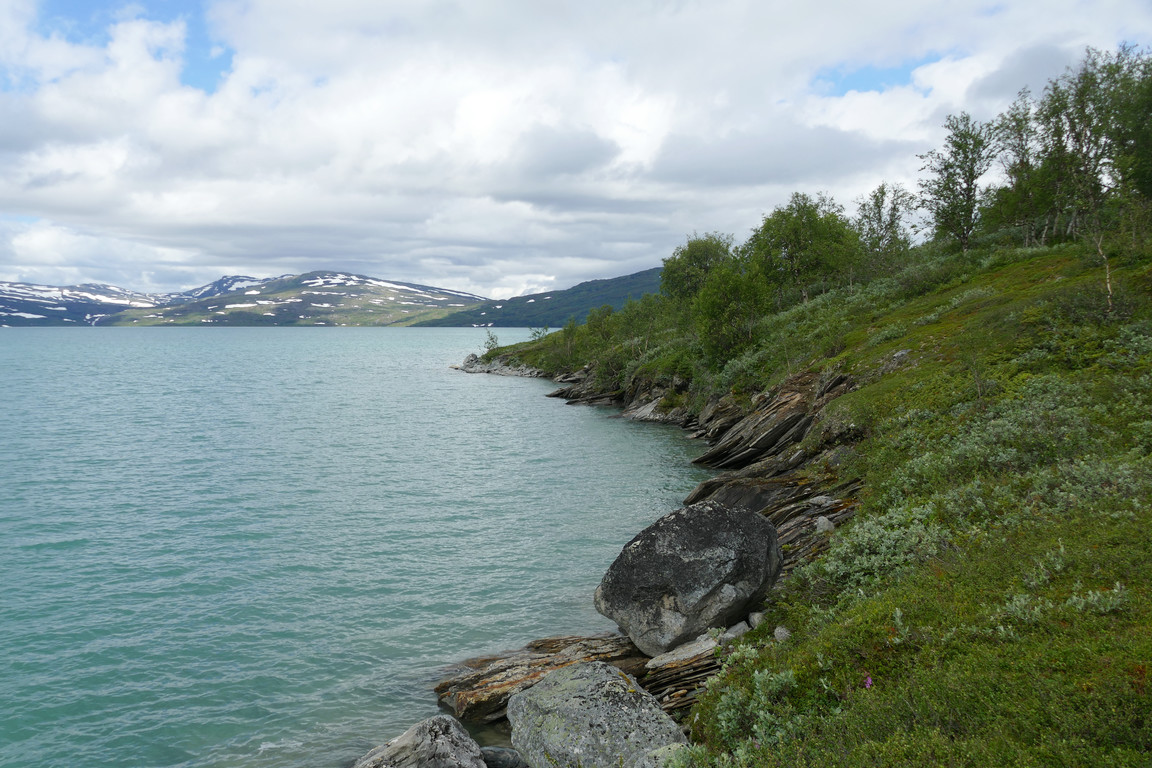
Now the shore consisted of larger rocks and some somewhat slippery faces, but I could still keep close to the water most of the time. Then I came to a forested area with a steeper slant, but I still held a lower course due to thickets higher up, and I also found some weakly defined passages through the bushes I still had to clear. Once I was able to return to the rocky shore I did so, and then I came to a heathy corner that bordered a little cove with a strip of beach in it. I had had some trouble judging just how far I had gone, but now it started to dawn on me that all the shore-tracing had taken a fair bit of time and that there was still quite a ways to go.

Larger rocks
Green waters

Glittering

Ascending
After the crux

More of the lake visible

Ex-reindeer

At the corner

Beach cove
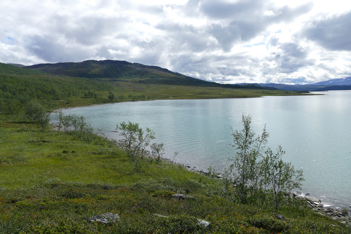
After the cove I kept to the shore for a bit before climbing steeply up into the forest to get past an area of cliffs, and then returned to the water once more. The forest ended abruptly as I neared the next larger bay, at which time Nuortta Sávllo was just emerging in full. The sun was now also more free to do its thing, and it felt quite warm as I walked out onto a large expanse of heathland after crossing a stream. Right at the shore I found a campsite and decided to sit down for lunch with my legs dangling over the brink at 12:15.

On the beach

Gerunvárátj coming into view

Nuortta Sávllo almost clear
All of Gerunvárátj

Nuortta Sávllo fully clear

Stream passage

Whence I came
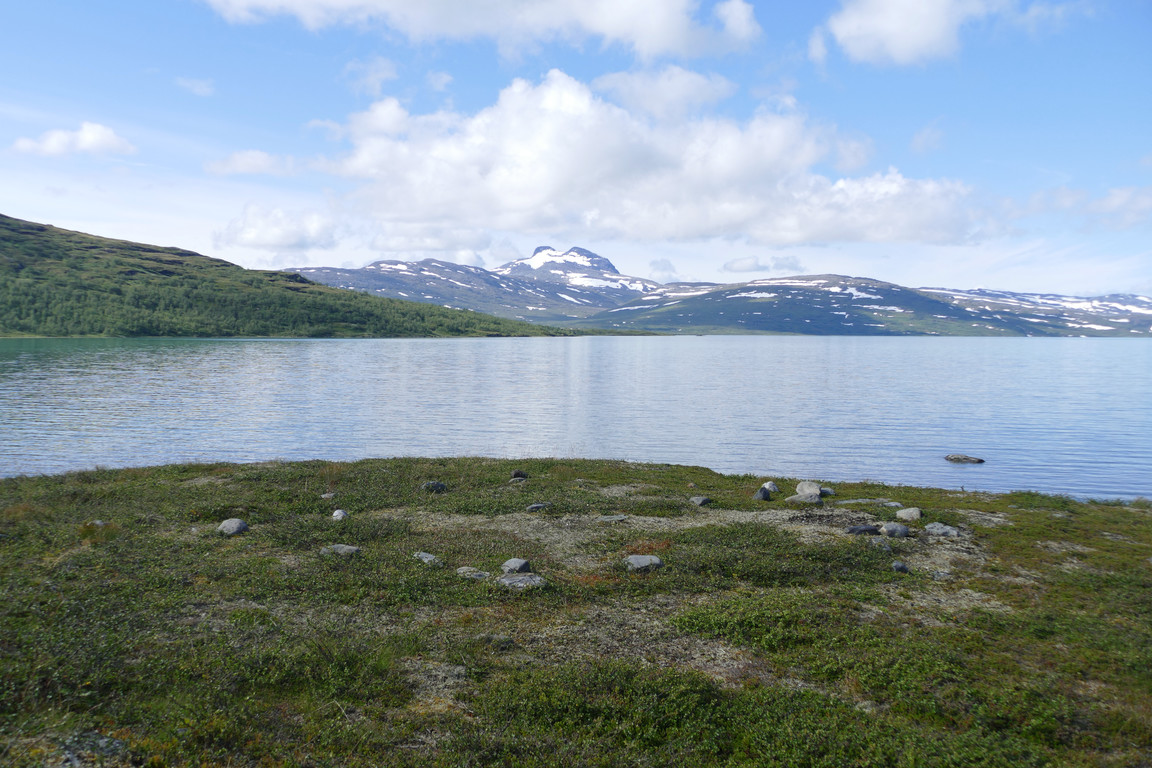
Campsite/lunch site
Once again there were insects about but not to the point of strong nuisance. I ate about half of my food and then started walking again; I had resolved not to continue southwards due to time constraints, and instead aimed for the saddle between Gerunvárátj and Dälbut. I followed a series of ridges slowly upwards, noting the presence of some cloudberries, but when I got closer to the actual slope ahead I thought that the steeper section going straight up towards Gerunvárátj looked both passable and fairly short, so I pivoted and set my sights on said summit instead.

Juoŋasuoloj

Gerunvárátj

Panorama over Bieskehávrre from the end of the open area
It was indeed quite steep going up through the sparse forest, which then turned into heath and finally rocks. It was a bit longer than it looked, as it tends to be, and the climb took its toll, but in fairly short fashion I found myself at the final rocky ascent up onto the top ridge. Once I had reached the summit I was greeted by very vast views all around as well as an appreciable wind, and I stood looking out over the scene for a while. The sun was out for the most part but the massif was still hitting the ceiling.
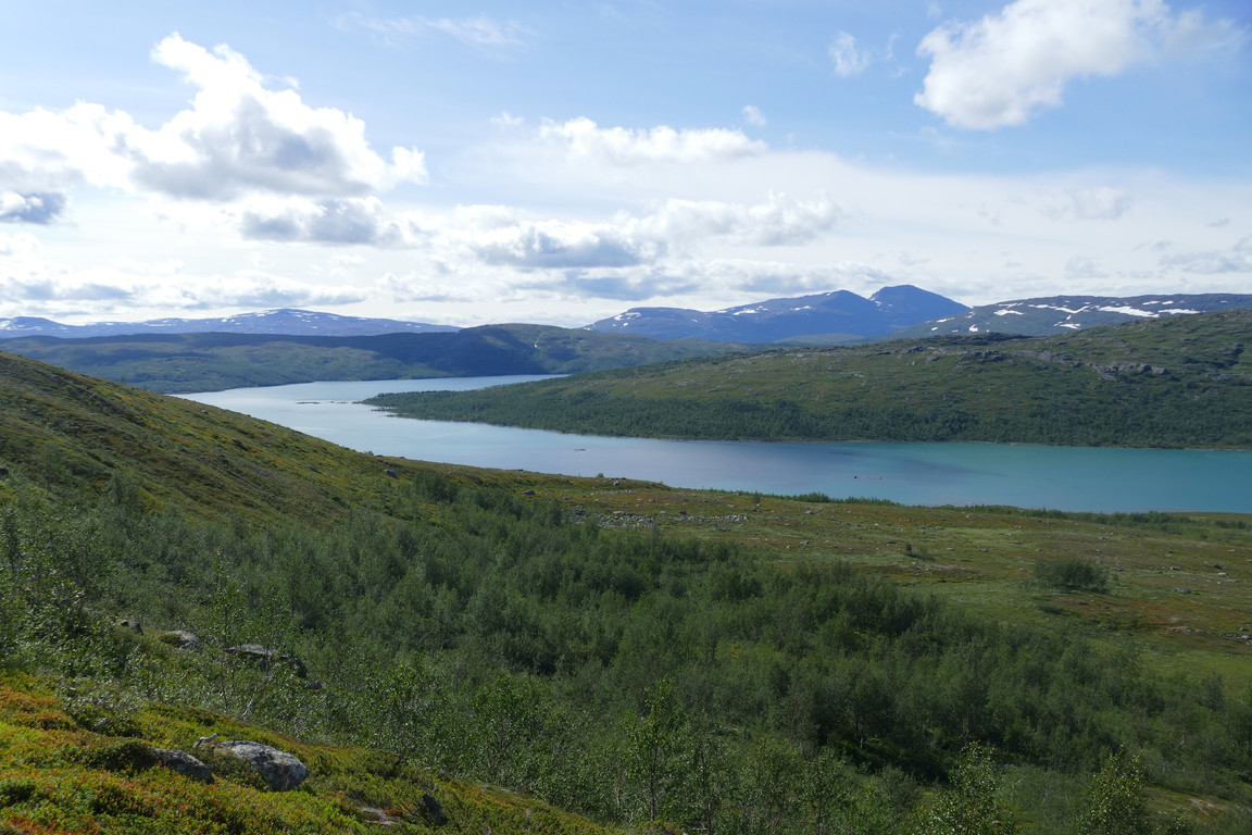
More lake
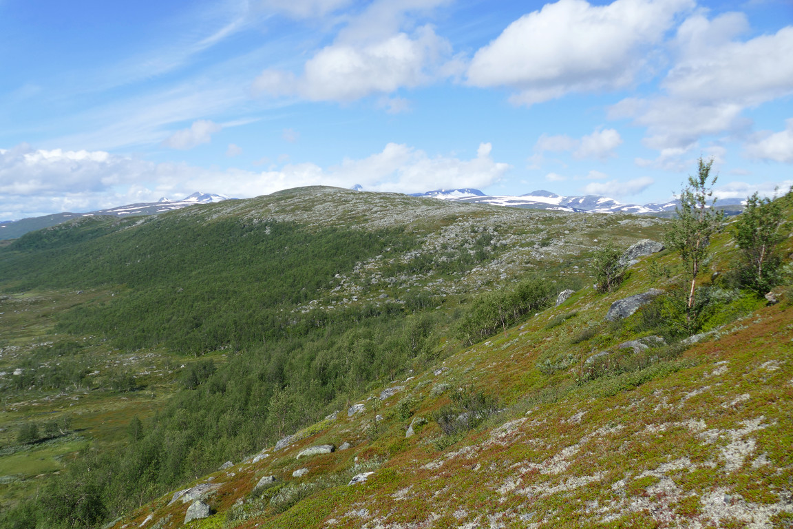
Dälbut with the massif behind

From the summit: south...

...southwest...

...west...

...northwest...
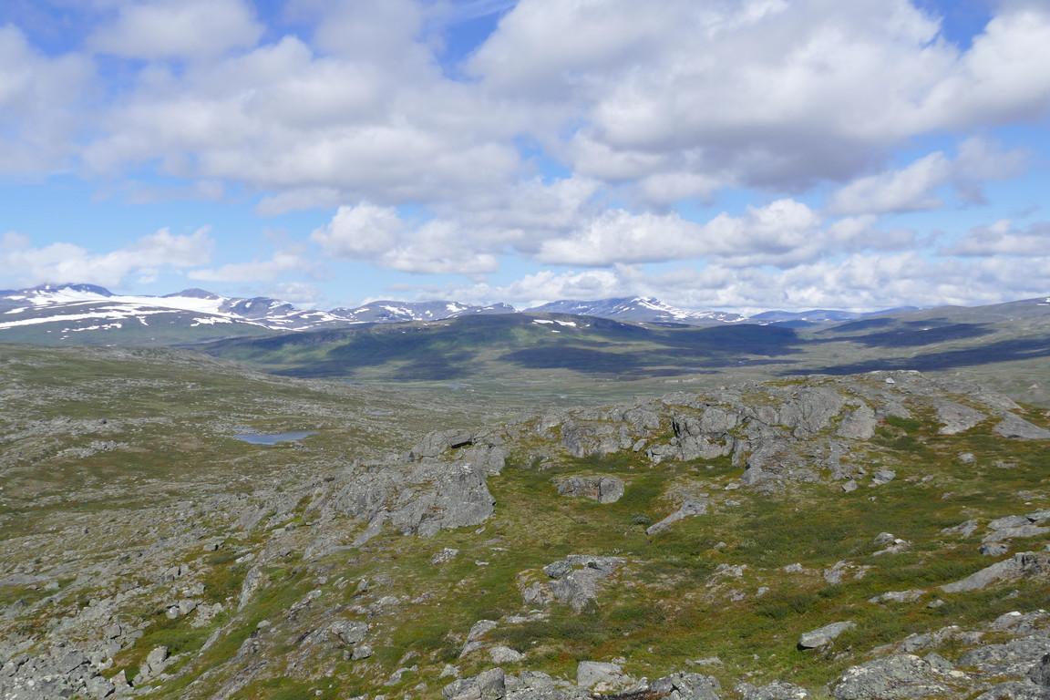
...north...

...and east
I then wound my way down towards the saddle, looking for easier ground, and once down there it was indeed easy. I passed west of several pools and then slowly ascended along the long outrunner leading up to the summit of Dälbut. Now my ankle had started hurting and I tried different ways of tying the boot in question to alleviate the pressure. I continued just east of the rocky rise for a while and then went atop it when the ground looked better, finding a very flat expanse. Now the sun was clouded for the most part, and as I approached the flattened summit at 14:30 the wind was back as well.
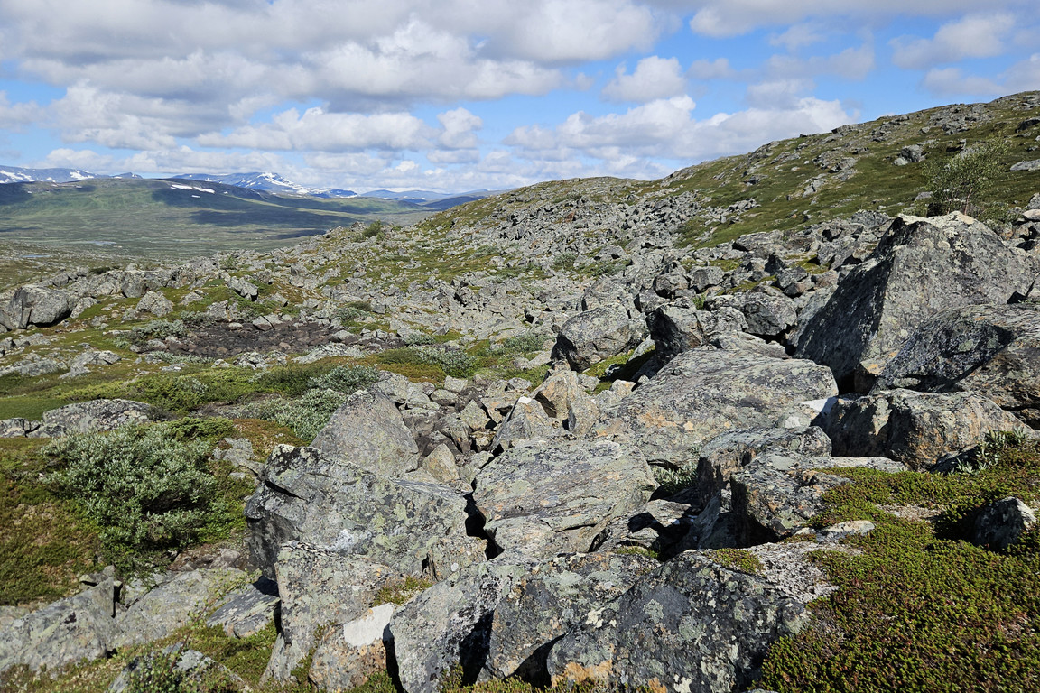
Rocky

Cloven
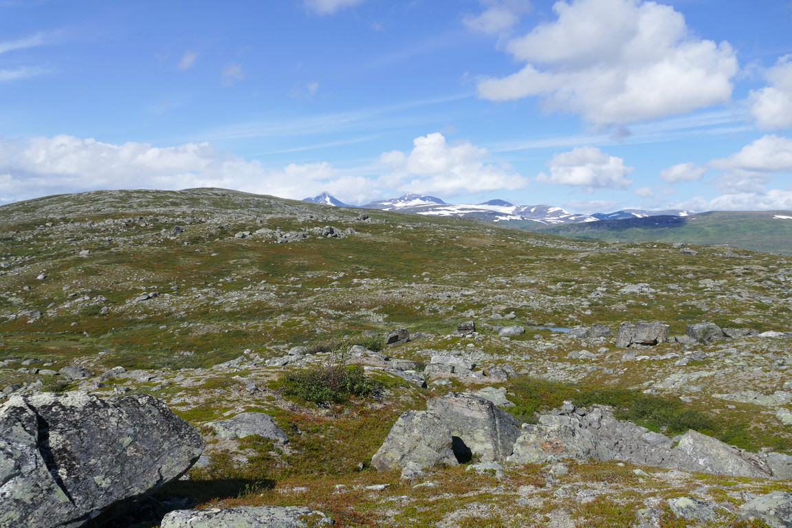
Easy walking

Passing some rocks...
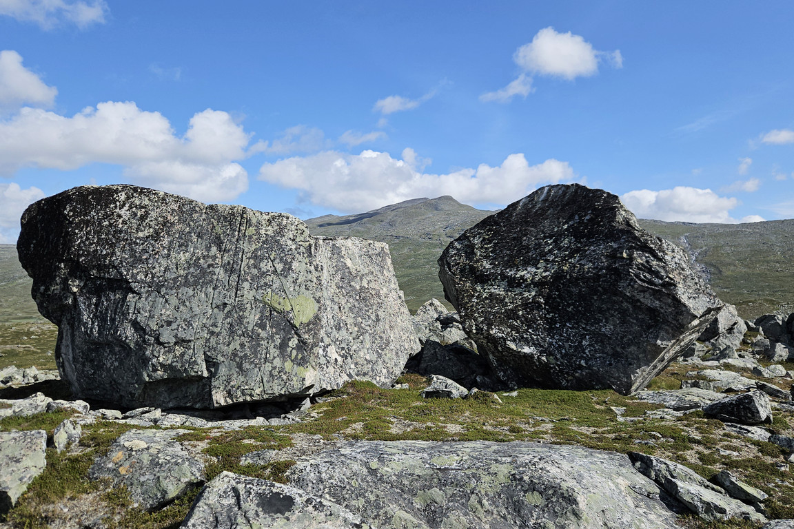
...of larger make

Adámvallda

Vuobmegietjtjåhkkå across the valley

Gerunvárátj behind
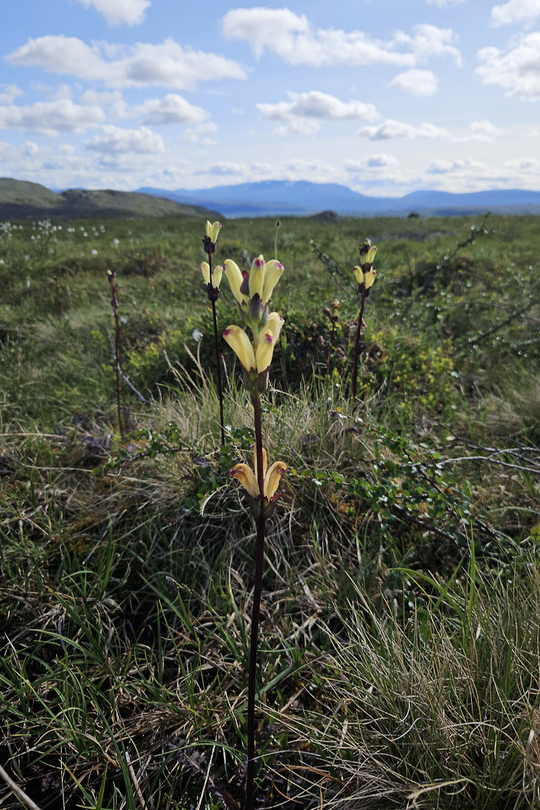
Spires
I sat down on a little rock shelf in the sizeable top cairn partially sheltered from the wind and consumed the rest of my food pack, wearing the down jacket against the chill. Despite the wind and the altitude I was accompanied by mosquitos, but no worries. The sun was soon coming out again, with shadows playing across the land, and by now the clouds had lifted to the point where all peaks in sight were fully visibile. I scanned about with my binoculars but still saw nothing moving.

Sulidälbmá in full view

Open waters
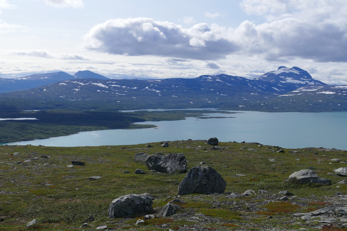
Towards Áhkárisluokta

South
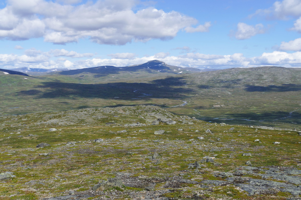
Northeast

North
After some quiet time I started walking again, and the ankle was now protesting very loudly so I simply removed all lacing from the raised part of the boot, converting it into a form of low shoe which helped tremendously at the price of less support. I passed south of the tarn that lies between the main rise of Dälbut and its northwestern side summit, noting that there were actually several small bodies of water here, one of which was dried out at the moment. It was mostly sunny as I walked on pleasant heathland down towards the bay, but further down there were some bushes and wet areas to negotiate, which was easily done. Eventually I found myself on the old path again, which I followed back home around 15:45.

Tarn with massif
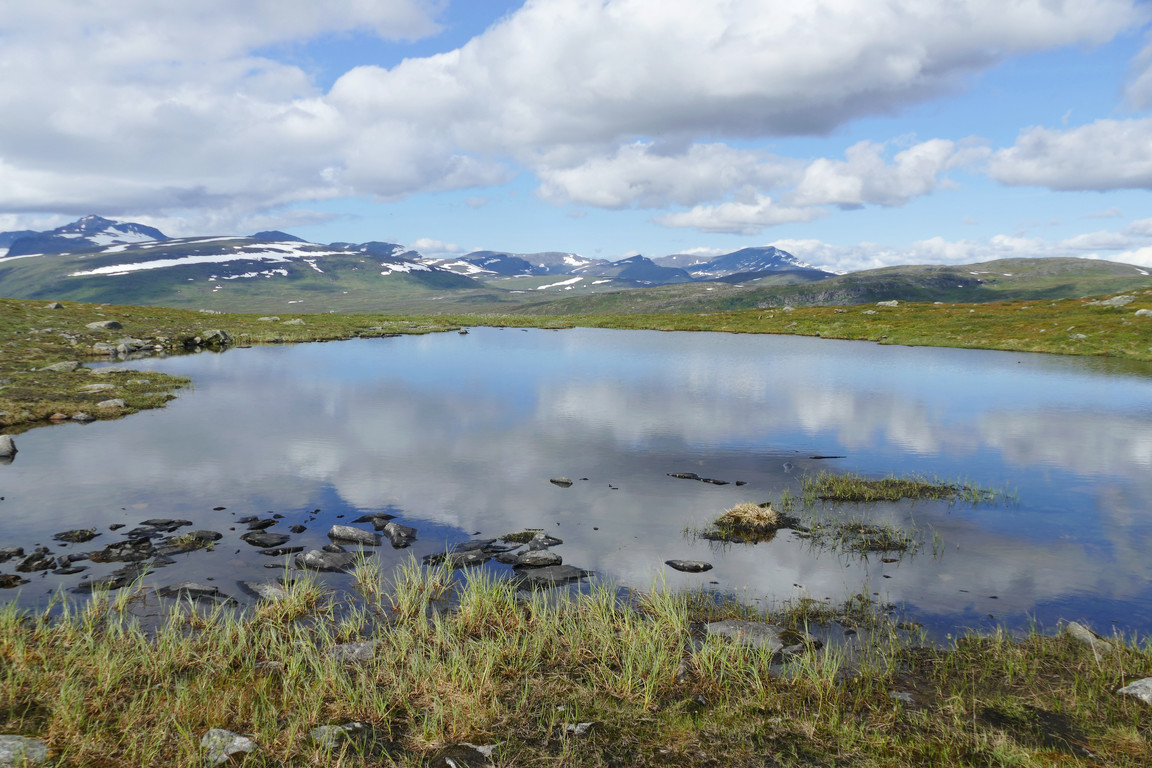
Tarn without massif

Massif without tarn

Lájrrosläddo delta

Closeup of
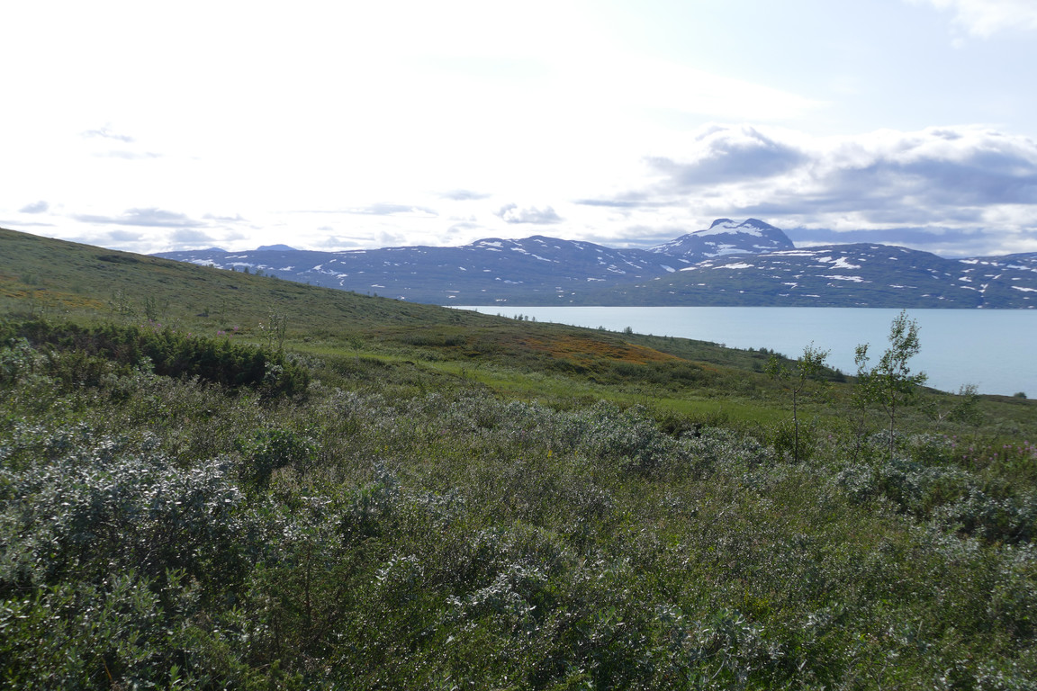
Down I go
« Return to Pieskehaure report