Tuesday 26/8

Lájrrosläddo
| Horizontal distance: | 9 km |
| Vertical distance: | (negligible) |
| Time: | 4 h 45 min |
| Lunch break: | 30 min |
| Dinner: | – |
| Night accommodation: | – |
| Stage classification: | Easy/Medium (comment)
The higher rating comes solely from the effort of pulling the canoe across land. Whew.
|
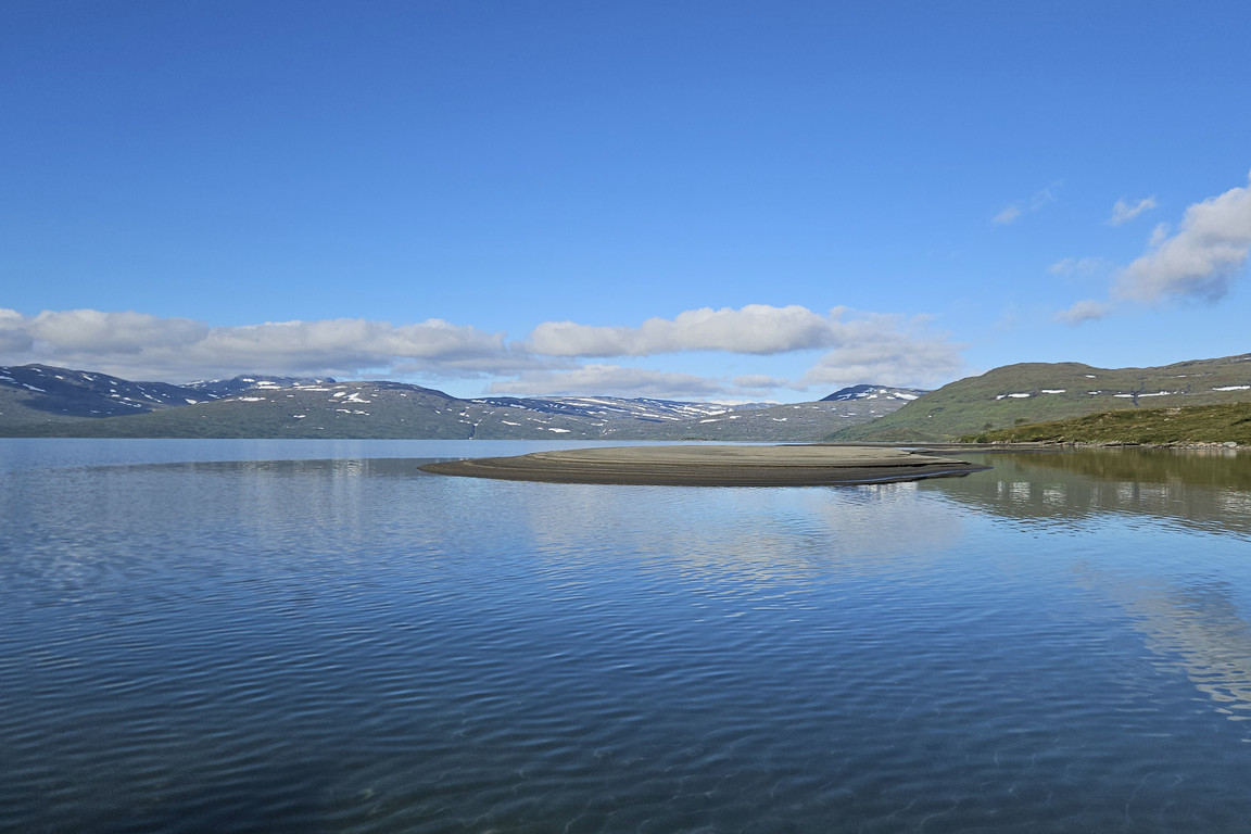
I followed the old path for a bit and then headed straight for the bay – and once the latter came into view I saw that the water had sunk drastically since my last visit. Once at the canoe I changed into the slippers and secured everything else in or on the rucksack, so that if I were to do an unexpected swim I would only have the one bundle to catch. Getting the canoe into the water was a very muddy affair, and I had to pull it a fair distance before the depth reached a level where I could sit in it and push with the paddle. I just barely managed to get across another shallow section with rocks rather than sand under the surface, and then I headed further out from shore to get around the sand bar, which was now above water in its entirety.

Nice day

Low water

Going around...
...the sand bar
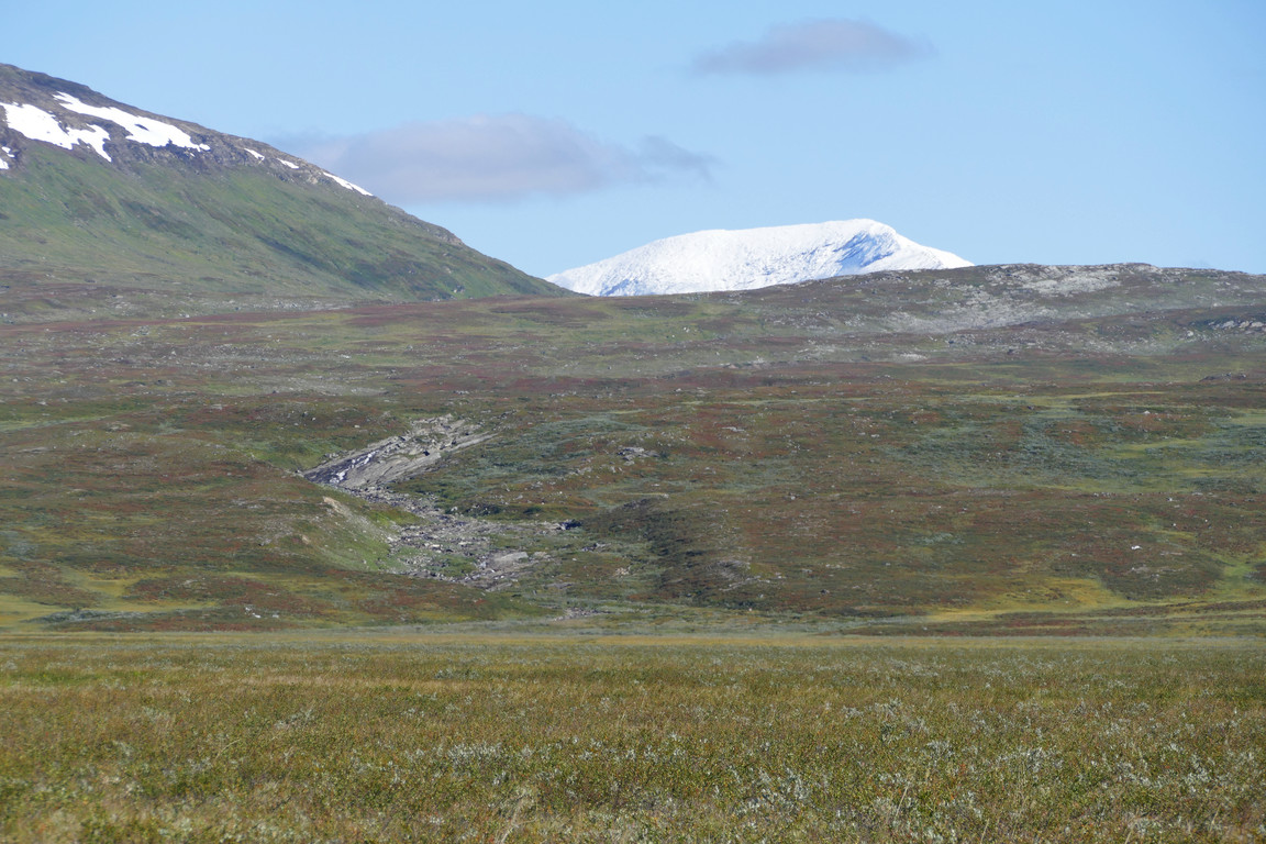
Outside the bar the water was deeper, so I pulled closer to shore again. The water was very milky and afforded no visibility beyond the topmost decimeter or so, and once Jiegŋáffo emerged above the hills I found it to be entirely white as well. I paddled on through the calm water further than on my last outing, reaching a long beach in a bay where I held my course and therefore found myself crossing greater depths. After that I headed for a group of sandy islets at the end of the delta, upon the outmost of which some birds were sitting. I gave them some space and tried crossing between some gravel bars, but here the water was too shallow and the bottom too hard for comfort, so I paddled upstream a bit until I could navigate by shadows underneath the surface. This brought me around to a sandier region and then, with some extra speed, all the way up onto the far shore.

Going out...

...to the birds...

...and the gravel
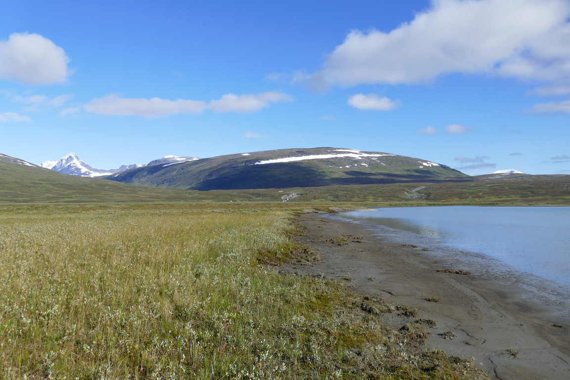
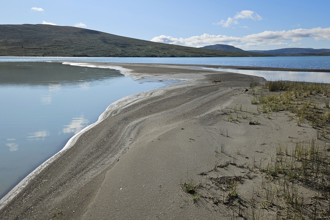
I pulled the canoe up across the wet sand onto the flat grassland that makes up most of Lájrrosläddo. Nuortta Sávllo was still hidden by clouds, but everything else was in full show, and it felt really nice to have reached an area which I reckon is very seldom trodden by human feet. I proceeded out towards the end of the land tongue, crossing first a mix of grass, dry moss and dirt and then a firm sand bank. At the very tip of the latter the water depth increased suddenly on the southeastern side but stayed shallow on the southwestern one, and the view back across the delta towards the massif was a spectacular one.

Parked
Flatland

Clouds before Nuortta Sávllo
The outer bank

Company

The end

The view back

Westwards

Depth boundary

Side bar
Back on actual land I followed the western edge to a canal with fairly little water in it, so I didn't have to go upstream very far before I found a passage. The following area was interspersed with suddenly appearing side channels which necessitated more detours where they couldn't be stepped across outright, and then I went back out towards the shore, tracing the edge of an irregular bay. After another set of sand bars the ground now held more heath, but as more little canals appeared it got moister. I headed out towards a series of flattened hills across some rather hard grassy bumps followed by low shrubs, and then rounded said hills out to a dry beach.

Heading inland

Canal

Not very wet

More wet

Towards the lake

Towards Stuor Varvvek

Towards Labbá

At the bay
White Jiegŋáffo

More sand...

...on both sides

Shapely

RGB

One of many

Dry bumps

Out to shore again
There I found a wider and deeper canal which didn't look crossable, so I followed it upstream over grassy heath. I now had the campers up at the bridge in my sights all the time, and although they had struck their tent some time ago they took their time getting going, and their colorful attire made them easily distinguishable. The canal soon got narrower and shallower, but rather than attempting a crossing I followed a smaller canal branch further upstream.

Water hues...

...at the outflow...

...of the canal

Swedish Sulidälbmá

Cottage and Vuobmegietjtjåhkkå

Meandering

Another color
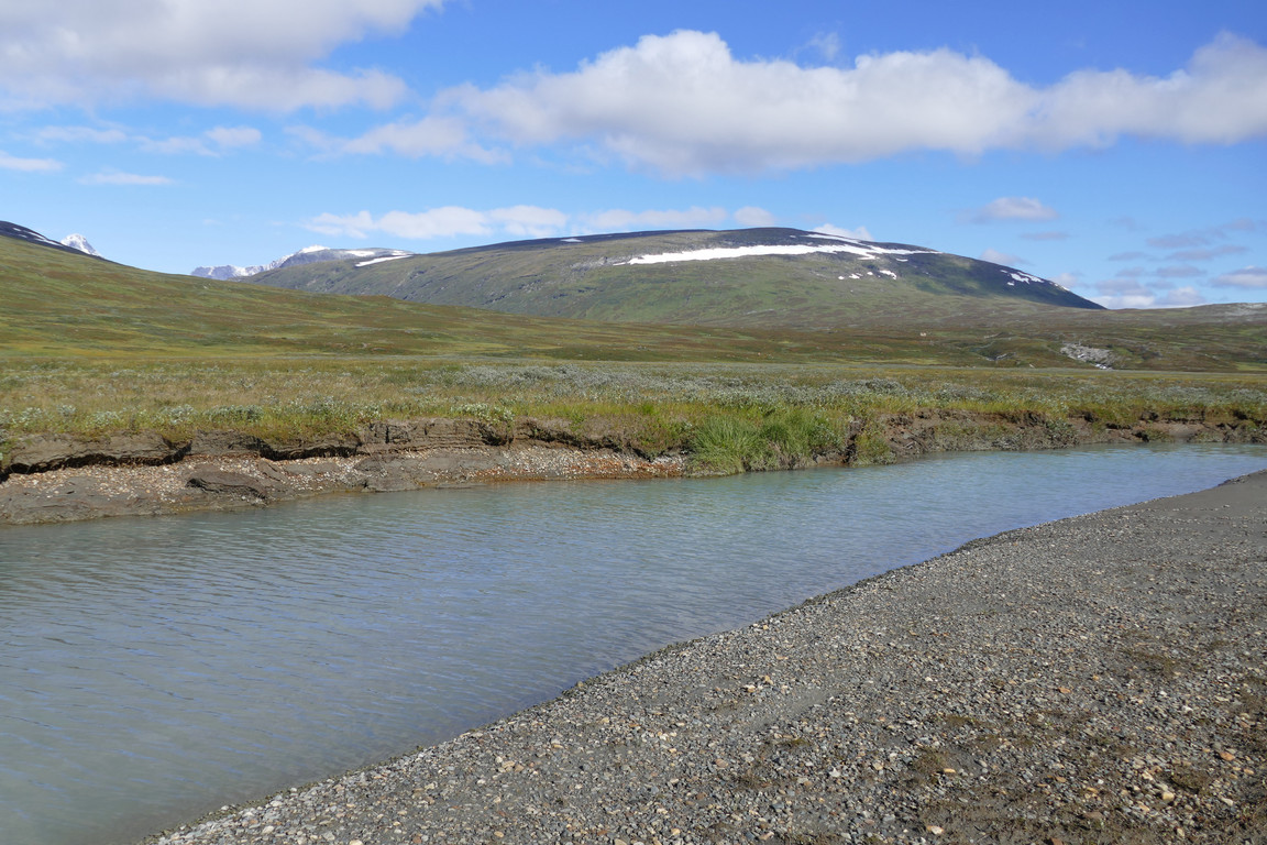
Dwindling

Could get across

More colors

All green and flat

Alighting
After a bit I crossed a drier course to an area of sparse bushy vegetation which turned more "gravely" as I approached the confluence of Lájrrojåhkå and Labbájåhkå. I now saw that the campers had some bulky equipment with them, and after a first guess for packrafts I realized that it was actually bikes. After a final stretch of naked rocks I reached the swiftly moving waters at 11:45, where I sat down at the brink for lunch.
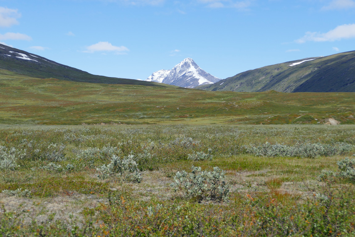
Dry

Low

Sterile

Lájrrojåhkå

Labbájåhkå

Combination
I ate hungrily and then watched the bikers start their day in an eastward direction, where the initial conditions of the ground had them leading their bikes most of the way, but after they cleared the ford they could pedal normally. At the trail split they turned northwards as I had much expected, since the eastbound trail past Vaimok isn't exactly bike friendly. I stood looking out over the glacier streams and the massif beyond for a while and then walked over to the western course which had very little water in it, so it would actually have been possible to get out into the delta this way too at present – without a canoe.

Crossing
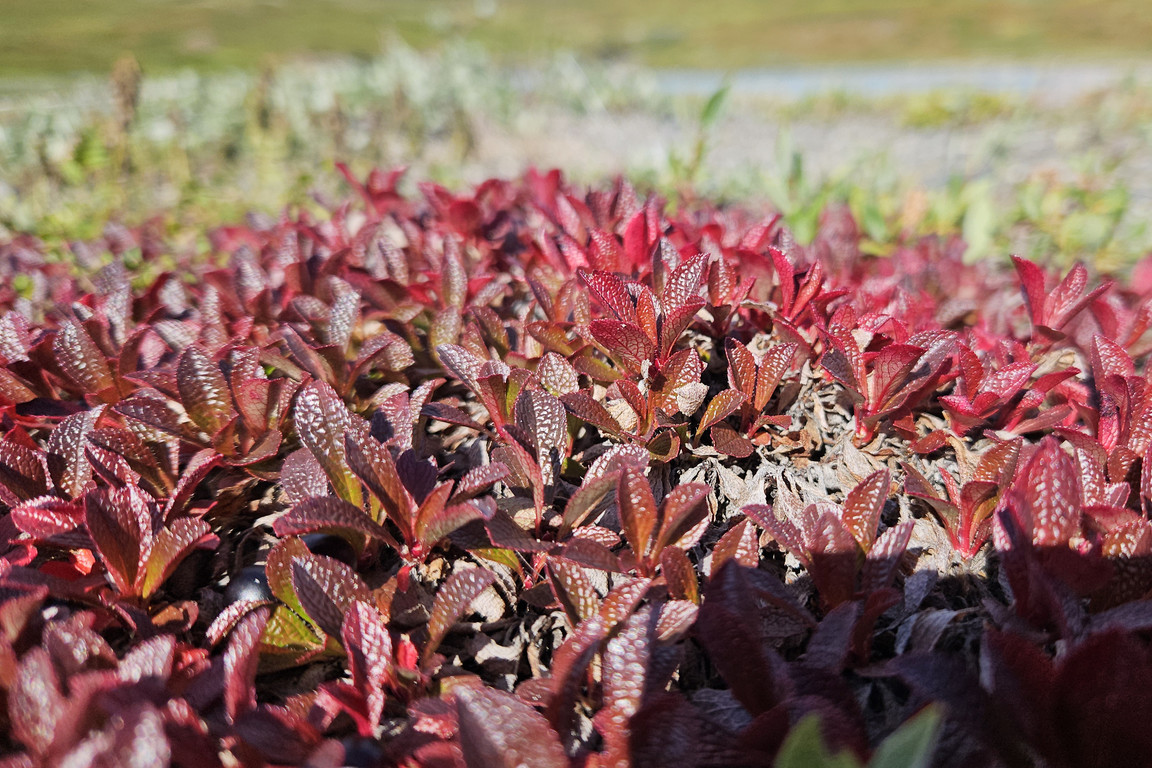
Red

Western course

Lájrrojåhkå outflow
I then followed the edge of the joint stream, the former of which was very dry and the latter very voluminous. The ground consisted mostly of grassy heath and the brink was broken by erosion here and there. I passed a couple of side channels on a sand bank and then came to a dry area of juniper bushes, and all around were a multitude of flowers – something which had been a recurring theme of the day. The last bit back to the canoe was the same grassy dirt as where I had landed, and having changed back into paddling mode I was ready to leave at 13.

Leaving Labbájåhkå

Stunted ones

Swift and wide
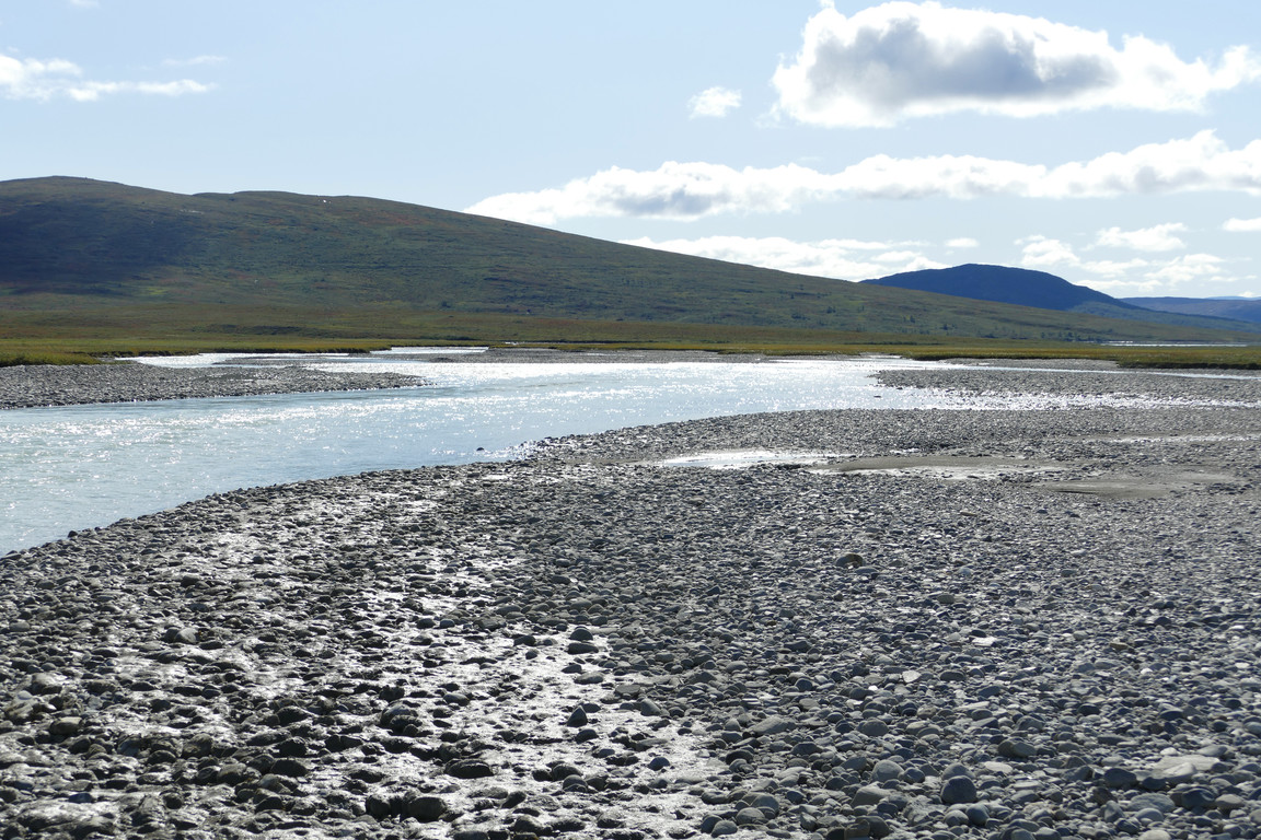
Glittery

Multi-hued
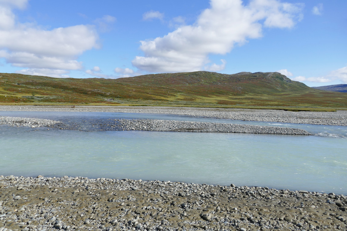
Banky

More of Nuortta Sávllo visible
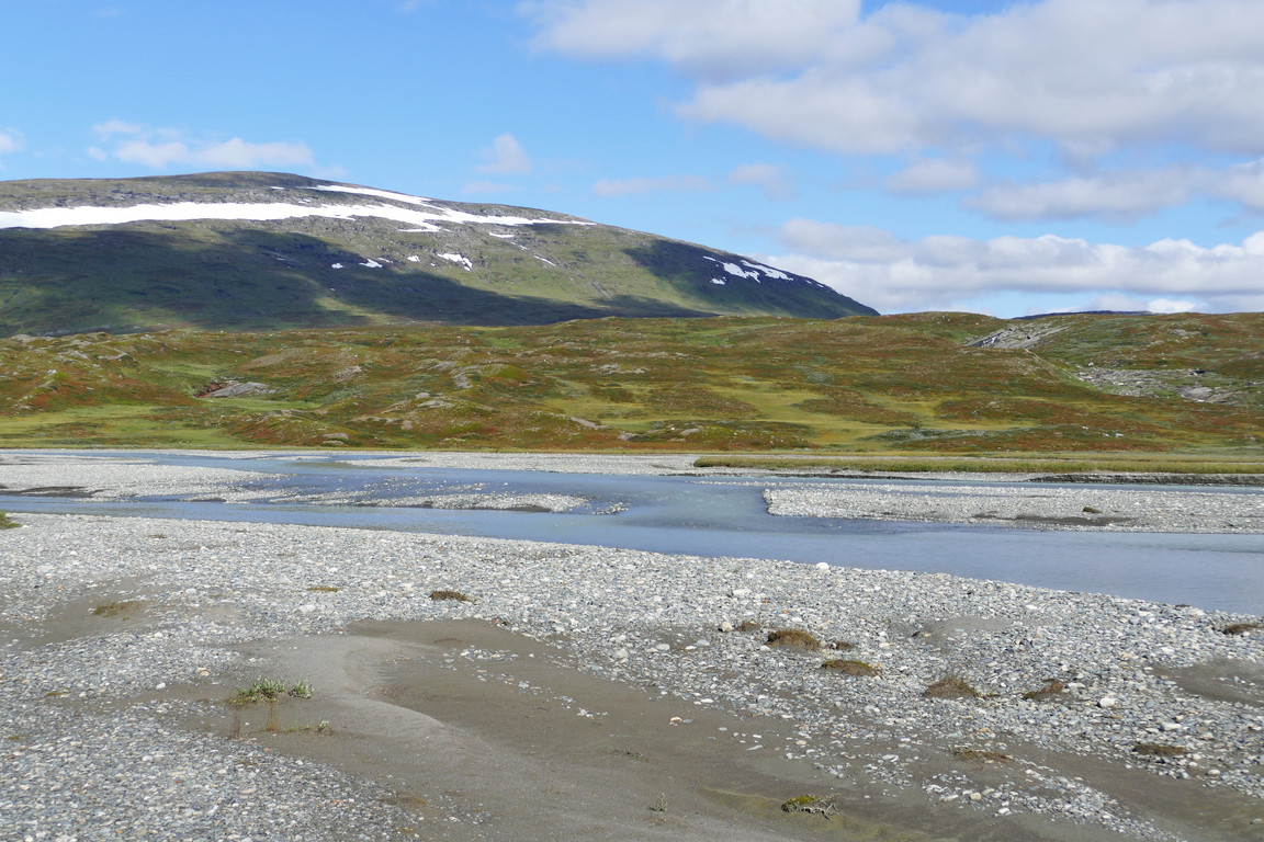
More banks

Even more banks
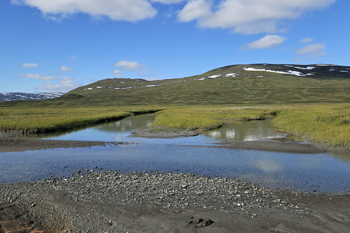
Side channels

Deeper

Home

Shallower

Overhang
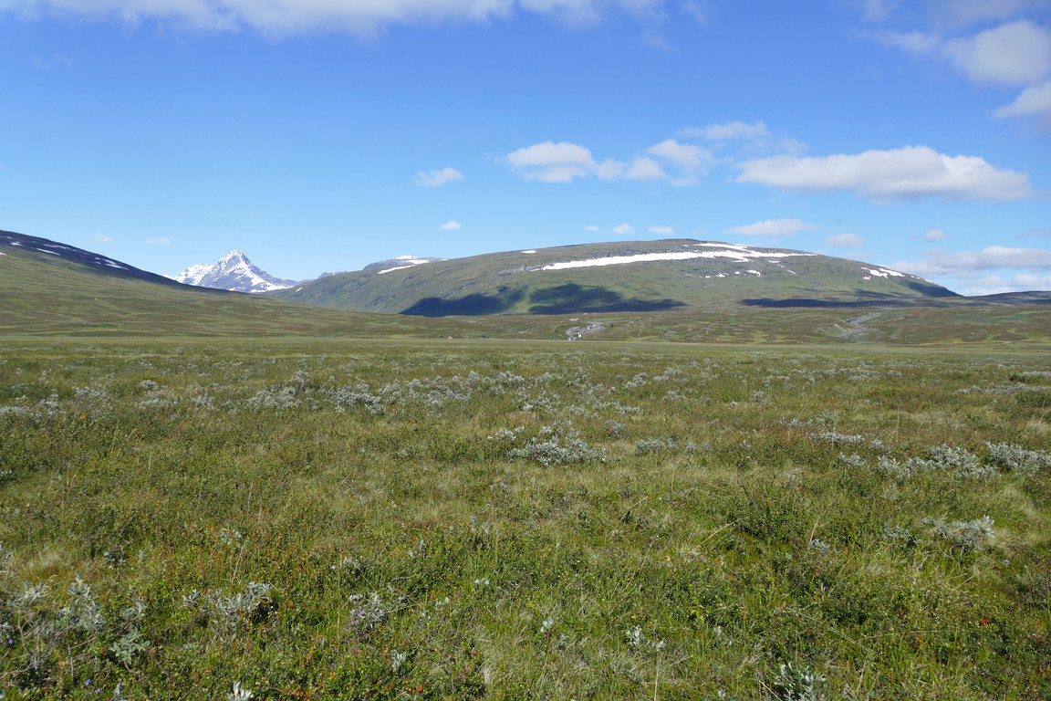
Dry land

To the tip
I paddled past more shadows a bit further upstream; it was fairly shallow but I managed to find a good route that entailed no problems. I then aimed directly for the eastern shore across the deeper middle and turned downstream when I was back to shallows, but as I paddled along I noted that the subsequent portion was actually somewhat deep also close to the shore. The water was dead calm as I rounded Dälbutnjárgga back into the bay, and it really was a splendid day to be out on the lake.

Setting out

Last look back

Perfectly still
It was also warm enough that I removed the wind jacket, which took some fiddling with the life vest. Having passed the sand bar I followed a rounder route in, which was better than on the way out, but getting the canoe up from the mud was a bit tricky and my slippers got stuck several times. I therefore had to rinse both slippers and feet before putting the shoes back on, sitting on a rock at the water's edge.

Round again
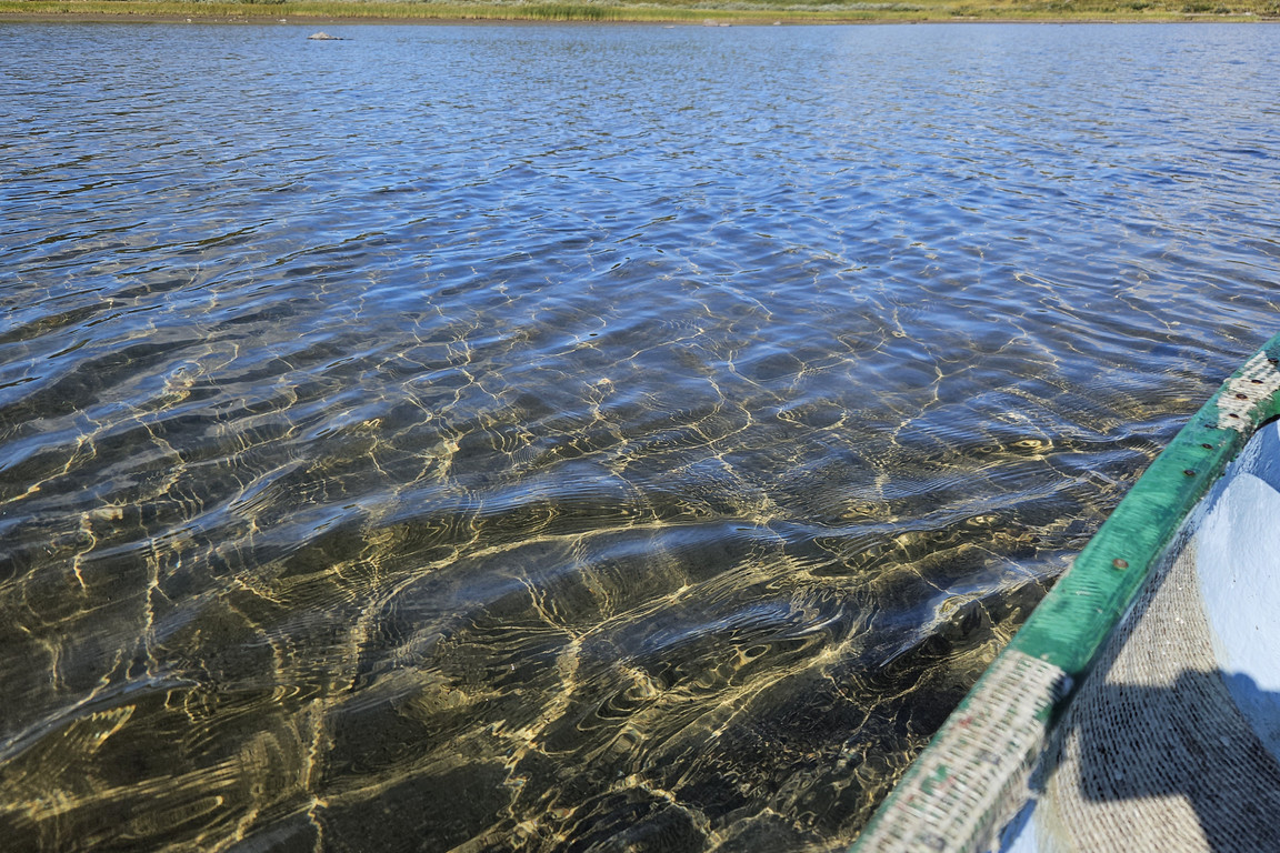
Shallow
My next task was transferring the canoe back up to the cottage, since this would be my last outing with it, and it was heavy enough that I couldn't carry it upside-down on top of my head. I could, however, just about carry it sideways, but only for short stretches, so I did that when the ground was rockier and just pulled the thing on its mooring rope when it was soft – eating some cloudberries as I went along. I mostly followed the winter trail markers and then aimed straight for the sauna building, carrying and pulling where appropriate, until finally reaching my goal at 14:00 while sweating profusely.

Out of its element

Almost back
« Return to Pieskehaure report